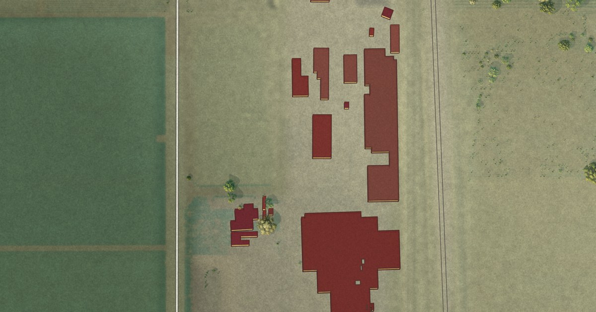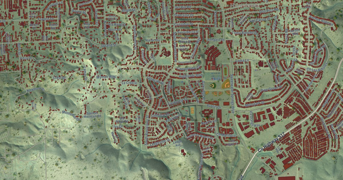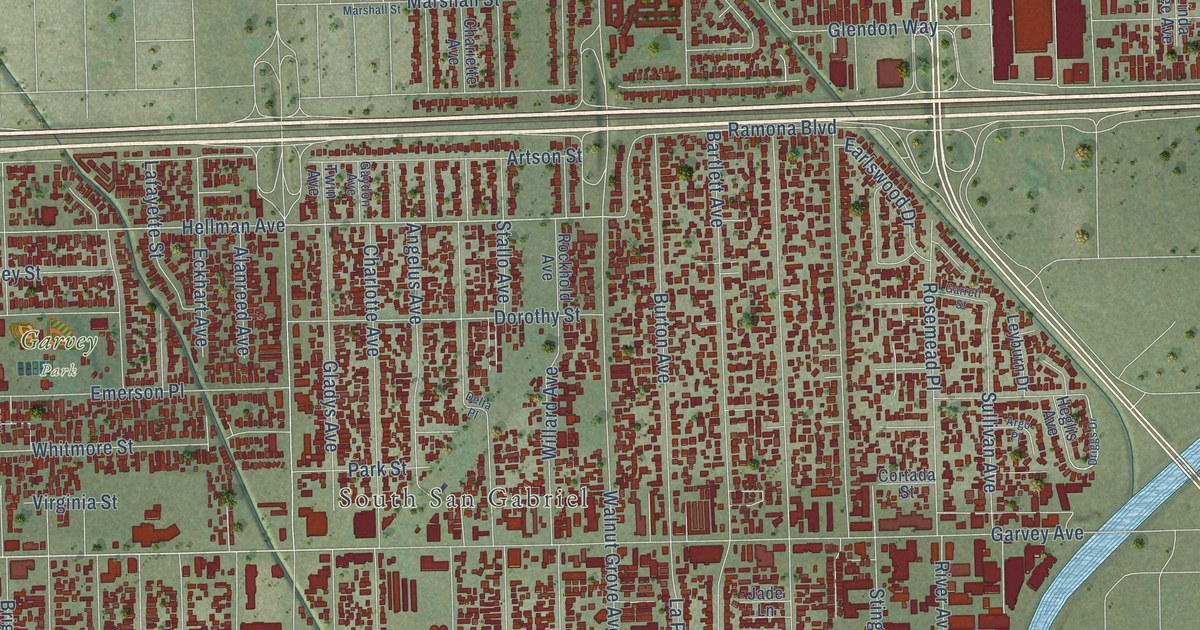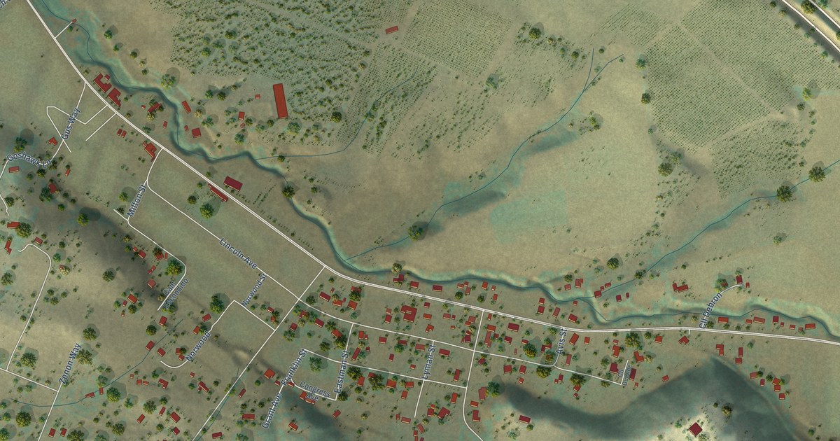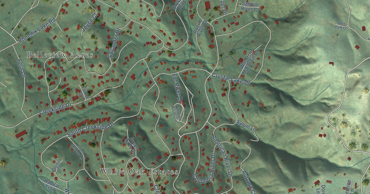
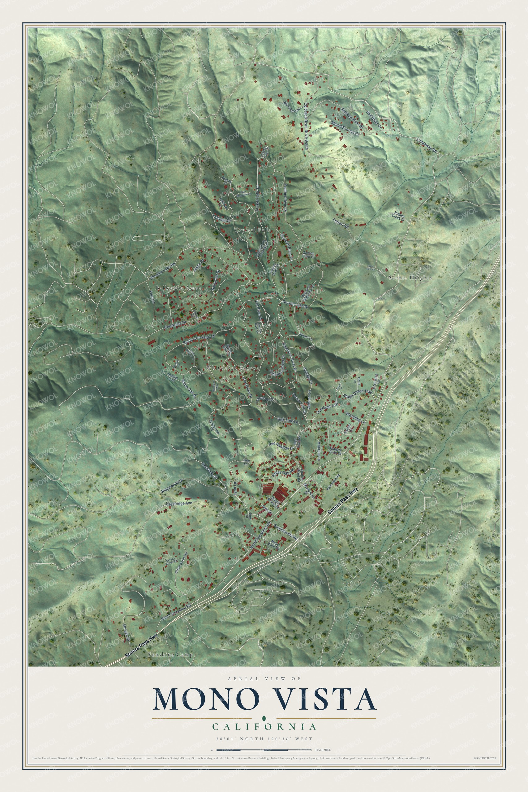
This beautifully detailed map of Mono Vista, California was created in 2026 using aerial imagery combined with modern topographical, census, street and landmark data. It's a modern aerial view of Mono Vista in Tuolumne County, California, that combines modern data with a vintage aesthetic. The roads feature printed names, and if you look closely you can find your exact house accurately shown in its correct location.
Explore an aerial view of Mono Vista, California
On this map you'll find White Oak Estates, Sunshine Camp, Scenic Heights, Crystal Falls, Belleview Acres, Sonora Pass Highway, Longeway Road, Crestview Drive, Fallview Drive, North Sunshine Road, Heavenly Drive, Overland Trail, and more. Each red shape is a building, so zoom in on the preview and look for yours.
Mono Vista is a community in Tuolumne County. The Census Bureau counted 3,236 people here in 2020. Mono Vista sits about 2 miles north of Soulsbyville, 2 miles east of Phoenix Lake and 3 miles southwest of Twain Harte. The map prints the town name in its title panel, with the coordinates below it.
Take a closer look at the Mono Vista map
Names on this map
These names are printed on this map.
Places: White Oak Estates, Sunshine Camp, Scenic Heights, Crystal Falls and Belleview Acres.
Streets and roads: Sonora Pass Highway, Longeway Road, Crestview Drive, Fallview Drive, North Sunshine Road, Heavenly Drive, Overland Trail, Eel River Drive, Crystal Falls Drive, Smokey River Drive, Autumn Lane, Lynn Lane.
More street names, A to Z
Alderman Road, Amazon River Circle, American River Drive, Amy Drive, Autum Court, Autum Lane, Autumn Court, Autumn Lane Drive, Big Falls Trail, Brandy Court, Colorado River Drive South, Columbia River Drive, Creekside Drive, Crestridge Avenue, Crystal Falls Court, Crystal Falls Drive West, Crystal Lake Drive, Deer Park Court, Doris Lane, East Meadow Lane, Faithe Court, Fallview Lane, Feather River Drive, Fern Lane, Ferrari Road, Foothill Lane, Green Acres Road, Green Meadow Lane, Green Oaks Court, Greentree Lane, Habitat Trail, Hidden Creek Court, Joyce Court, June Court, Leal Lane, Maurice Lane, Mechanical Drive, Mono Vista Road, Mount Everest Court, Niagara River Drive, Oak Tree Lane, Phoenix Lake Road, Rainier Court, Red Heather, Red Heather Drive, Red River Drive, Ridgeview Drive, Ridgewood Drive, Rogue River Court, Russian River Drive, Sallander Drive, Salmon River Court, Serene Acres Road, Soulsbyville Road, South Creekside Drive, South Sunshine Road, Spanish Grant Road, Stage Coach Trail, Sturgis Road, Tehachapi Court, Valley Oak Road, Wagon Wheel Road, Wasatch Mountain Drive, Wessling Lane, White Oak Drive, Woodland Way.
See it on a wall
The Mono Vista map as a framed print. Swipe for more.


Created by KNOWOL in 2026. The buildings are small red shapes, the roads carry their printed names, and shaded relief shows the shape of the land. The title panel reads "AERIAL VIEW OF MONO VISTA, CALIFORNIA" with 38°01' NORTH 120°16' WEST.
It suits a den, a classroom or a front hall, and it makes a gift for anyone with Mono Vista roots. Open the preview and find the block you know. See sizes and frames for the Mono Vista map.