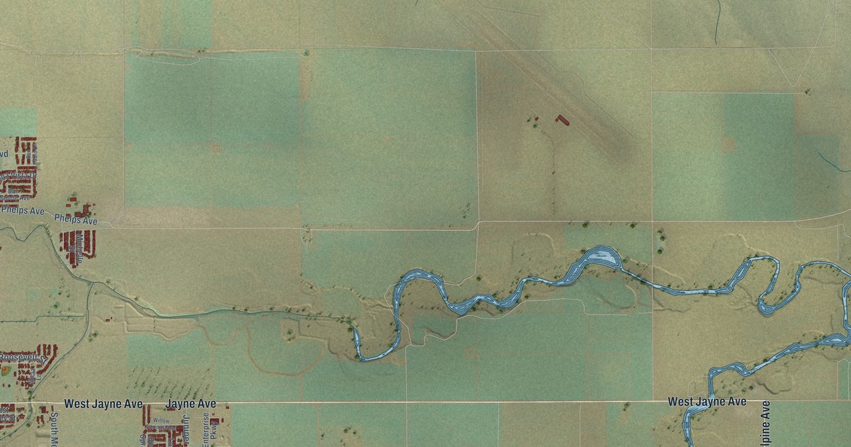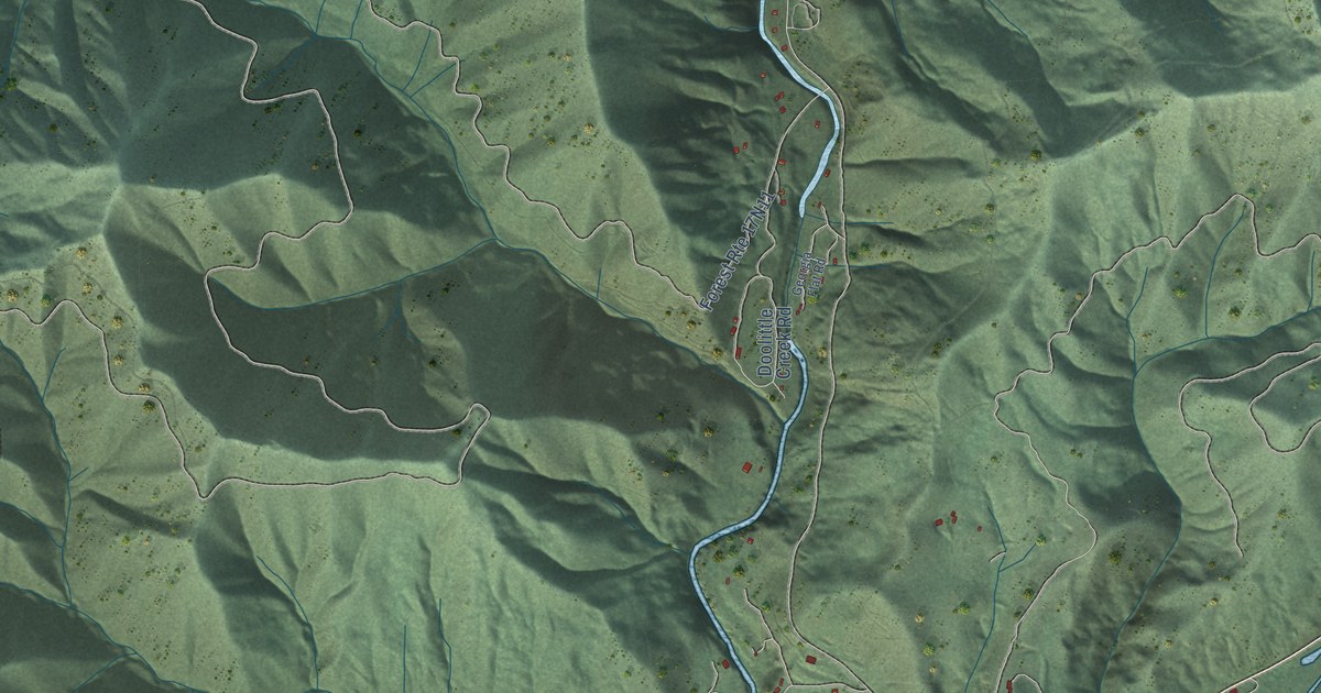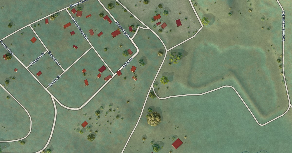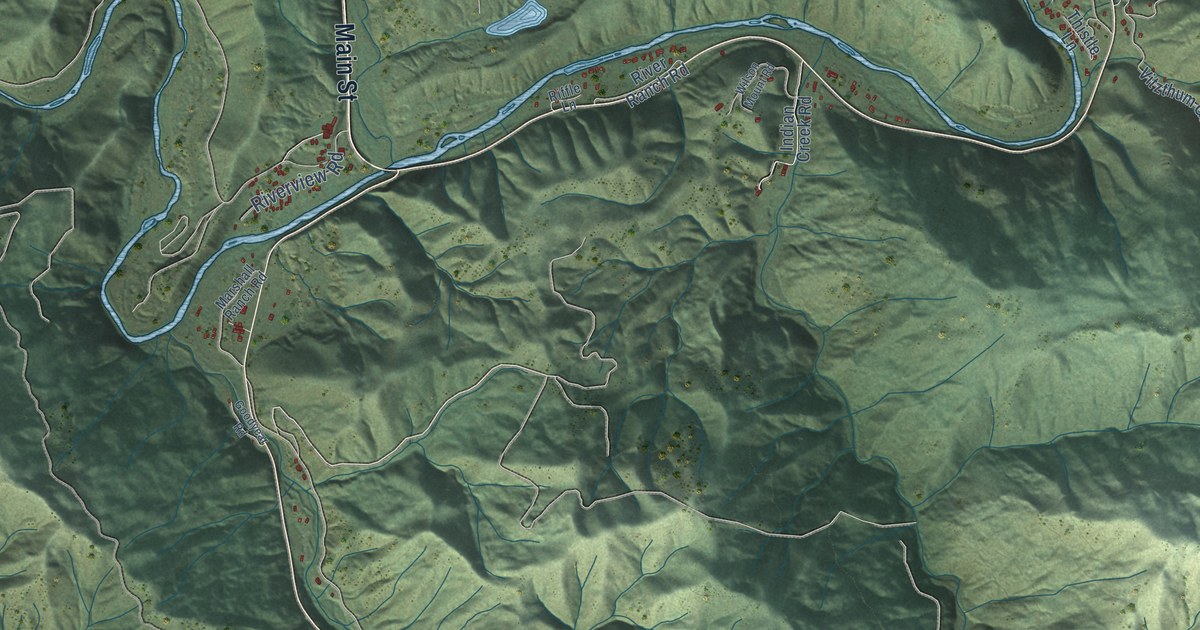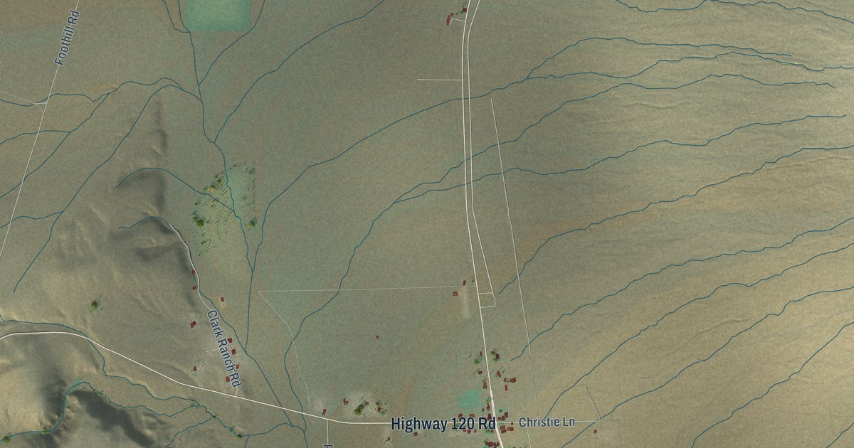
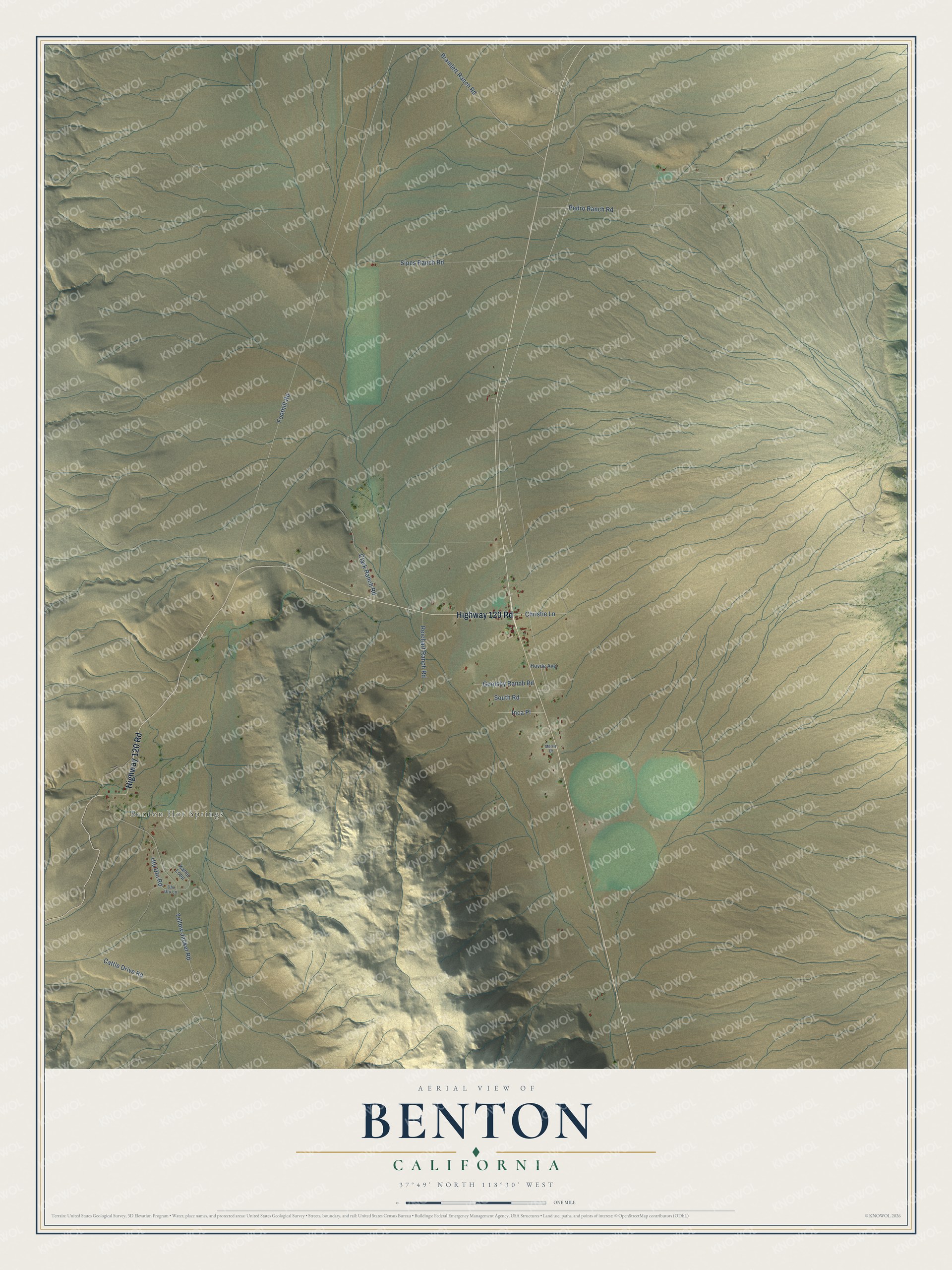
This beautifully detailed map of Benton, California was created in 2026 using aerial imagery combined with modern topographical, census, street and landmark data. It's a modern aerial view of Benton in Mono County, California, that combines modern data with a vintage aesthetic. The roads feature printed names, and if you look closely you can find your exact house accurately shown in its correct location.
Explore an aerial view of Benton, California
On this map you'll find Benton Hot Springs, Highway 120 Road, Christie Lane, Foothill Road, Yellow Jacket Road, Pedro Ranch Road, Bramlett Ranch Road, Cattle Drive Road, Sipes Ranch Road, Clark Ranch Road, Reichart Ranch Road, Goolsby Ranch Road, and more. Each red shape is a building, so zoom in on the preview and look for yours.
Benton has a story worth telling. Benton is home to the Benton Paiute Tribe, whose Numic name means Hot Water Place People, after the ancestral hot springs beside their land. In 1915 President Woodrow Wilson set aside 160 acres near Benton as a cemetery and camping ground for the Paiute families who had long buried their dead there. Federal offices later lost track of the order. In 1971 Joseph C. Saulque, a past Tribal Chairman, wrote that he had found it in a library at Brigham Young University, and officials agreed the land would be known from then on as the Benton Paiute Indian Reservation. That's from the Benton Paiute Reservation.
Benton is a community in Mono County. The Census Bureau counted 279 people here in 2020.
Take a closer look at the Benton map
Names on this map
These names are printed on this map.
Places: Benton Hot Springs.
Streets and roads: Highway 120 Road, Christie Lane, Foothill Road, Yellow Jacket Road, Pedro Ranch Road, Bramlett Ranch Road, Cattle Drive Road, Sipes Ranch Road, Clark Ranch Road, Reichart Ranch Road, Goolsby Ranch Road, Inca Place.
More street names, A to Z
Hovde Avenue, Kamu Loop, Morris Drive, South Road, Utu Utu Lane, Utu Utu Road.
See it on a wall
The Benton map as a framed print. Swipe for more.


Created by KNOWOL in 2026. The buildings are small red shapes, the roads carry their printed names, and shaded relief shows the shape of the land. The title panel reads "AERIAL VIEW OF BENTON, CALIFORNIA" with 37°49' NORTH 118°30' WEST.
It looks right in a kitchen, an office or a den, and it's a gift for anyone who grew up in Benton or moved away. Open the preview and find your street. See sizes and frames for the Benton map.