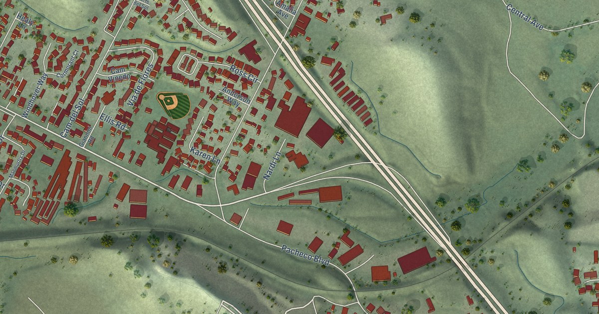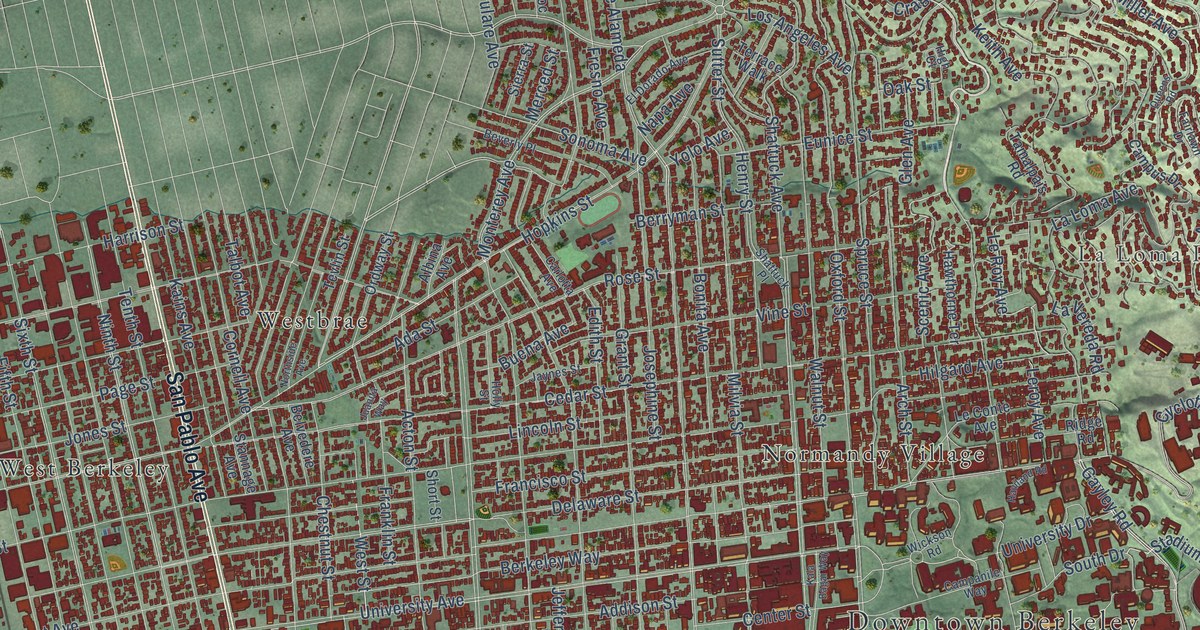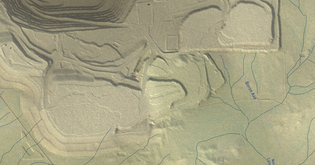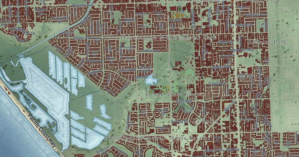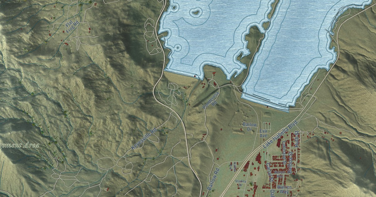
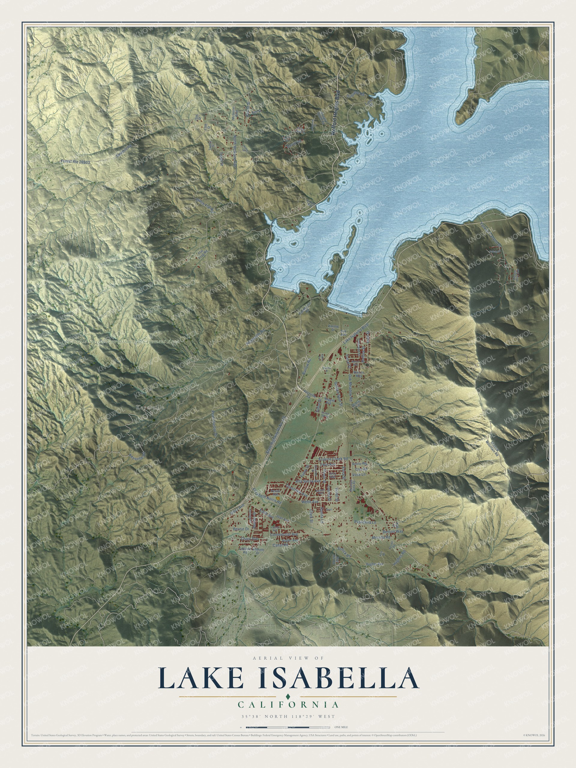
This beautifully detailed map of Lake Isabella, California was created in 2026 using aerial imagery combined with modern topographical, census, street and landmark data. It's a modern aerial view of Lake Isabella in Kern County, California, that combines modern data with a vintage aesthetic. The roads feature printed names, and if you look closely you can find your exact house accurately shown in its correct location.
Explore an aerial view of Lake Isabella, California
On this map you'll find Keysville Special Recreation Management Area, Keyesville, Wofford Heights Boulevard, Pasadena Lane, Schick Road, Lake Isabella Boulevard, Erskine Creek Road, Keysville Road, North McGuire Avenue, Edna Street, Balboa Street, Sawmill Road, and more. Each red shape is a building, so zoom in on the preview and look for yours.
Here is a piece of Lake Isabella history. The Kern River dam project, begun in 1948, brought a new wave of people to the valley and created Lake Isabella. The lake flooded the meeting of the Kern River and its South Fork, the old towns of Kernville and Isabella, and much of the South Fork valley's pasture and farm land. In its first seven years the new lake drew more than 4.5 million visitor days, and tourism and recreation became major industries in the valley. That's from the Bureau of Land Management.
Lake Isabella is a community in Kern County. The Census Bureau counted 3,573 people here in 2020.
Take a closer look at the Lake Isabella map
Names on this map
These names are printed on this map.
Places: Keysville Special Recreation Management Area and Keyesville.
Streets and roads: Wofford Heights Boulevard, Pasadena Lane, Schick Road, Lake Isabella Boulevard, Erskine Creek Road, Keysville Road, North McGuire Avenue, Edna Street, Balboa Street, Sawmill Road, Dutch Flat Road, Pearl Harbor Drive.
More street names, A to Z
13th Street, 15th Street, Air Force Way, Alta Sierra Avenue, Angler Avenue, Anona Road, Apollo Way, Balsam Avenue, Barlow Drive, Barlow Road, Ben Street, Benton Way, Bernie Drive, Brent, Canal Road, Canal Street, Chain Avenue, Clark Street, Commercial Avenue, Cox Road, Crestview Avenue, David Road, Dunivent Road, Edith Avenue, Elizabeth Norris Road, Eva Avenue, Falcon Drive, Ferrell Road, Flat Frog Road, Fourth Street, Fulop Street, Golden Spur Street, Hall Court, Harnage Street, Hatton Avenue, Hinkle Lane, Hughes Avenue, Hughes Road, Hungry Bulch Road, Hungry Gulch Road, Huth Street, Irwin Avenue, Jerry Avenue, Joan Avenue, Kast Road, Kernville Road, Keyesville Road, Kilbreth Drive, Lakeland Street, Lakeview Drive, Lupine Street, McGuire Boulevard, Morella Road, Mountain View Road, Nugget Avenue, Oak Meadow Road, Oldfield Road, Pecos Avenue, Pinon Street, Pioneer Drive East, Ponderosa Road, Red Hill Road, Reeder Drive, Ronita Lane, Scovern Spring, Shadow Mountain Road, Silicz Avenue, Starkey Drive, State Highway Rt No 178, Steensen Street, Suhre Street, Tenth Street, Tuttle Road, Twelfth Street, Violet Street, Vose Lane, Warren Way, Webb Avenue, Wenyor Way, Wildlife Trail, Yankee Canyon Drive, Young Avenue.
See it on a wall
The Lake Isabella map as a framed print. Swipe for more.


Created by KNOWOL in 2026. The buildings are small red shapes, the roads carry their printed names, and shaded relief shows the shape of the land. The title panel reads "AERIAL VIEW OF LAKE ISABELLA, CALIFORNIA" with 35°38' NORTH 118°29' WEST.
It suits a den, a classroom or a front hall, and it makes a gift for anyone with Lake Isabella roots. Open the preview and find the block you know. See sizes and frames for the Lake Isabella map.