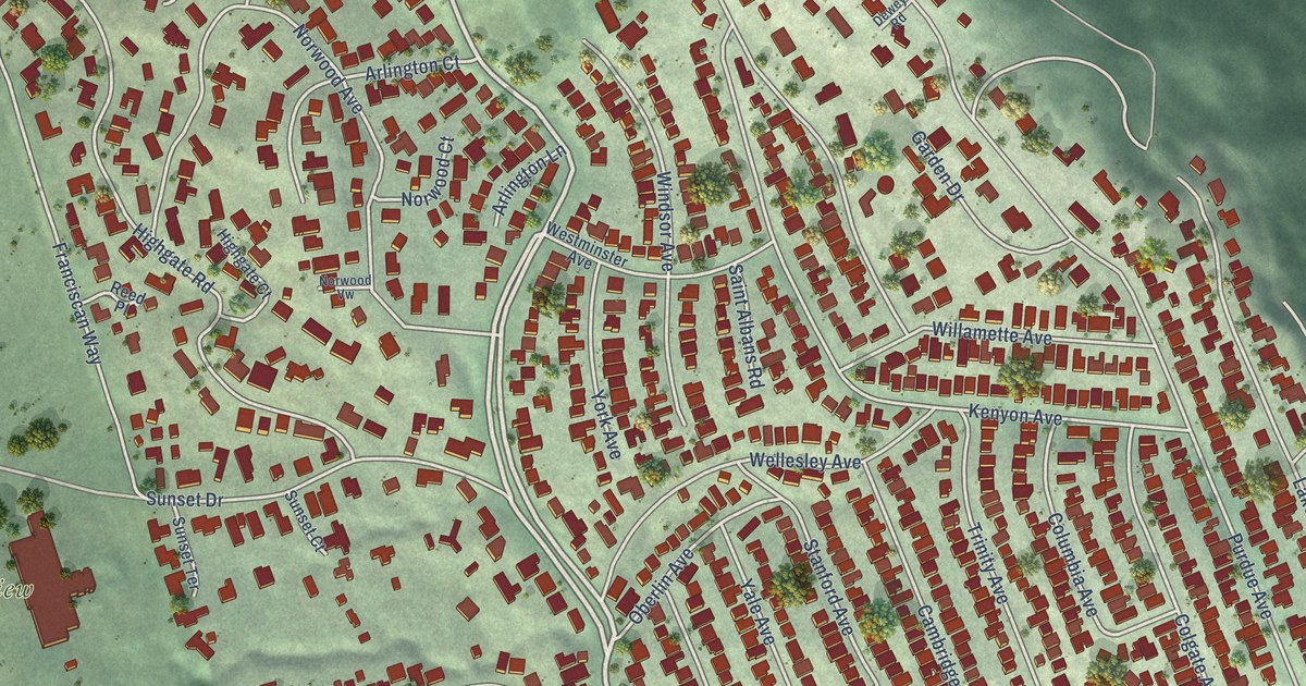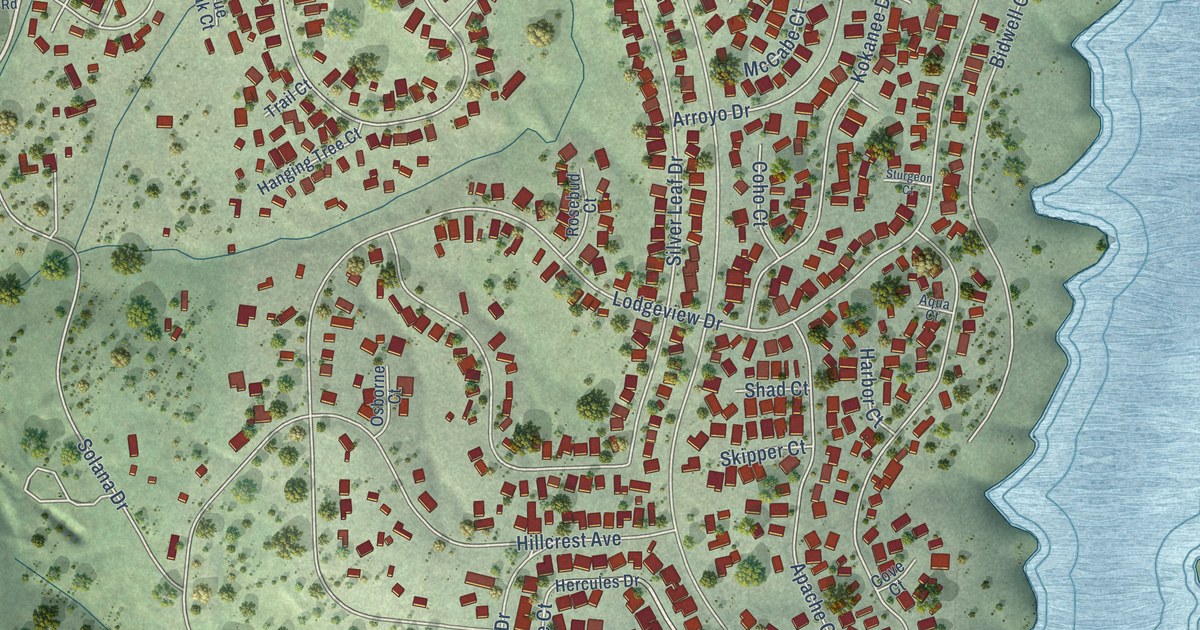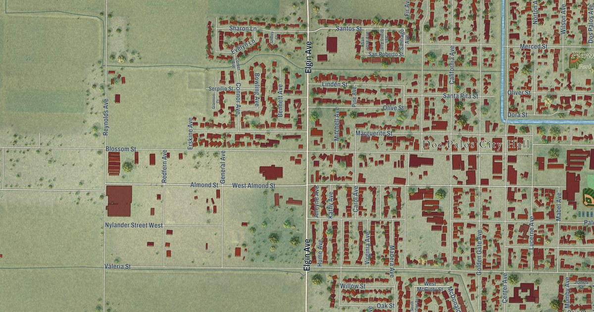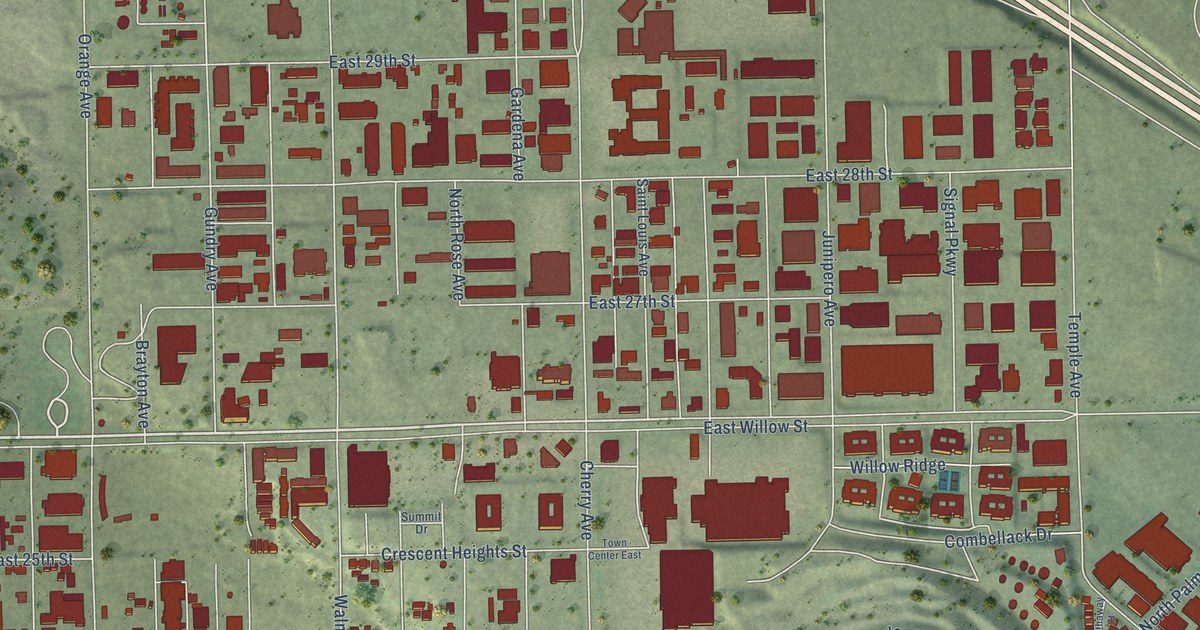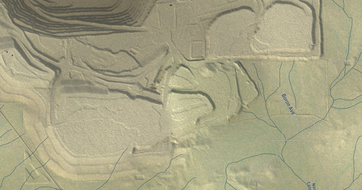
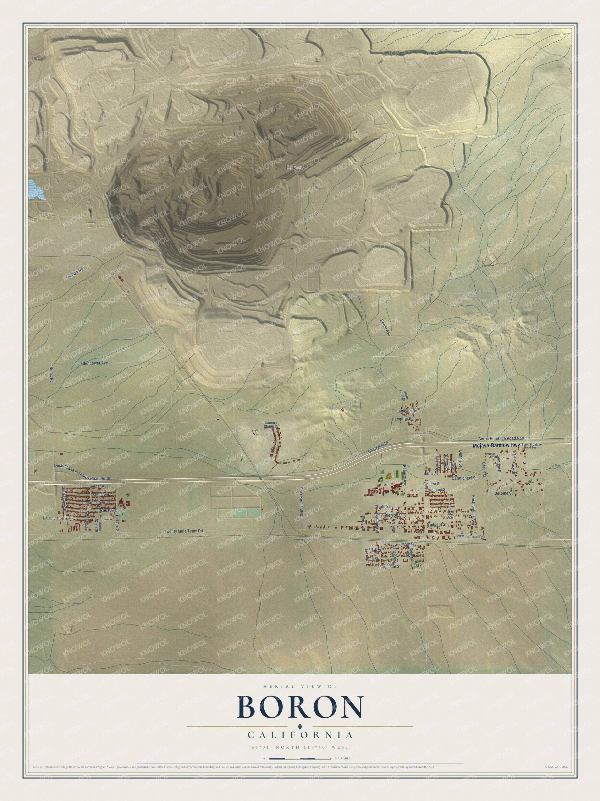
This beautifully detailed map of Boron, California was created in 2026 using aerial imagery combined with modern topographical, census, street and landmark data. It's a modern aerial view of Boron in Kern County, California, that combines modern data with a vintage aesthetic. The roads feature printed names, and if you look closely you can find your exact house accurately shown in its correct location.
Explore an aerial view of Boron, California
On this map you'll find Desert Lake, Baker, Boron Park, Mojave-Barstow Highway, Glendower Avenue, Twenty Mule Team Road, Easy Street, Ferguson Street, Boron Avenue, Borax Road, Cherryhill Drive, Prospect Street, and more. Each red shape is a building, so zoom in on the preview and look for yours.
Every town has a first chapter, and Boron is no exception. The town of Boron housed the workers of the Pacific Coast Borax Company. The borates beneath the desert were found by chance in 1913, when Dr. Suckow struck colemanite while drilling a new well for his homestead, and in 1957 the Boron Mine just north of town turned from underground tunnels to an open pit. That's from the Bureau of Land Management.
Boron is a community in Kern County. The Census Bureau counted 2,086 people here in 2020.
Take a closer look at the Boron map
Names on this map
These names are printed on this map.
Places: Desert Lake, Baker and Boron Park.
Streets and roads: Mojave-Barstow Highway, Glendower Avenue, Twenty Mule Team Road, Easy Street, Ferguson Street, Boron Avenue, Borax Road, Cherryhill Drive, Prospect Street, Jessie Street, Boron Frontage Road North, Jerome Street.
More street names, A to Z
20 Mule Team Road, Anderson Street, Belle Lane, Boron Frontage Road South, Carmichael Street, Cote Street, Country Club Way, Daisy Street, Del Oro Street, Dennis Street, Desert Lake Frontage Road North, El Mirage Street, Esther Street, Gardiner Street, Golden Street, Green Street, Hampton Road, James Street, Jamison Road, John Street, Joshua Avenue, Juniper Avenue, Kern Avenue, Kostopolous Avenue, Monte Vista Street, Morgan Lane, Nancy Avenue, Nichols Street, North Lane Drive, Nudgent Street, Osborne Street, Park Knolls Boulevard, Roberta Avenue, Roberts Avenue, Sage Avenue, Sierra View Street, Suckow Road, Sugar Street, Sunrise Road, Tamarisk Avenue, Wesley Street.
See it on a wall
The Boron map as a framed print. Swipe for more.


Created by KNOWOL in 2026. The buildings are small red shapes, the roads carry their printed names, and shaded relief shows the shape of the land. The title panel reads "AERIAL VIEW OF BORON, CALIFORNIA" with 35°01' NORTH 117°40' WEST.
Hang it in the hallway, the office or the cabin, or give it to someone who left Boron and still calls it home. Open the preview and look for a street you know. See sizes and frames for the Boron map.