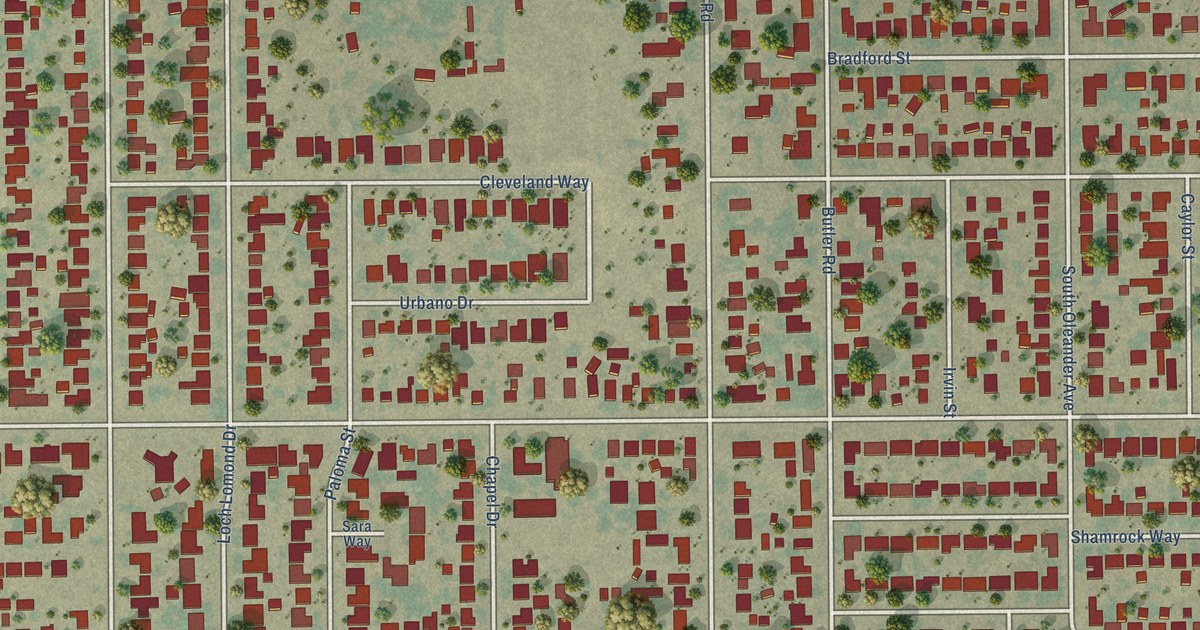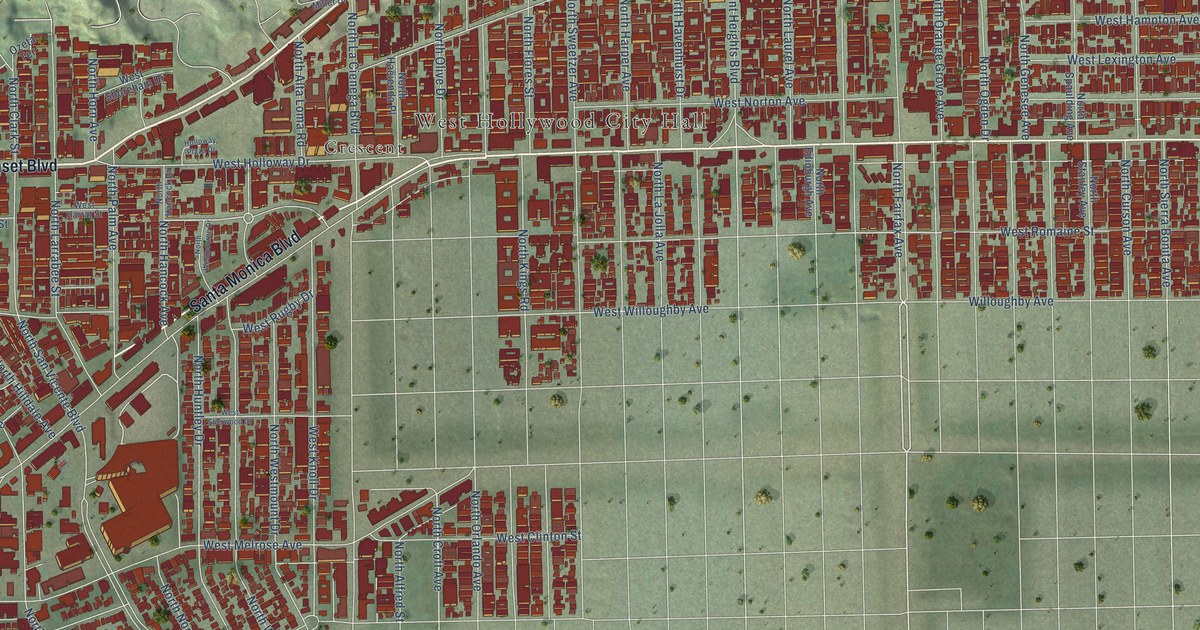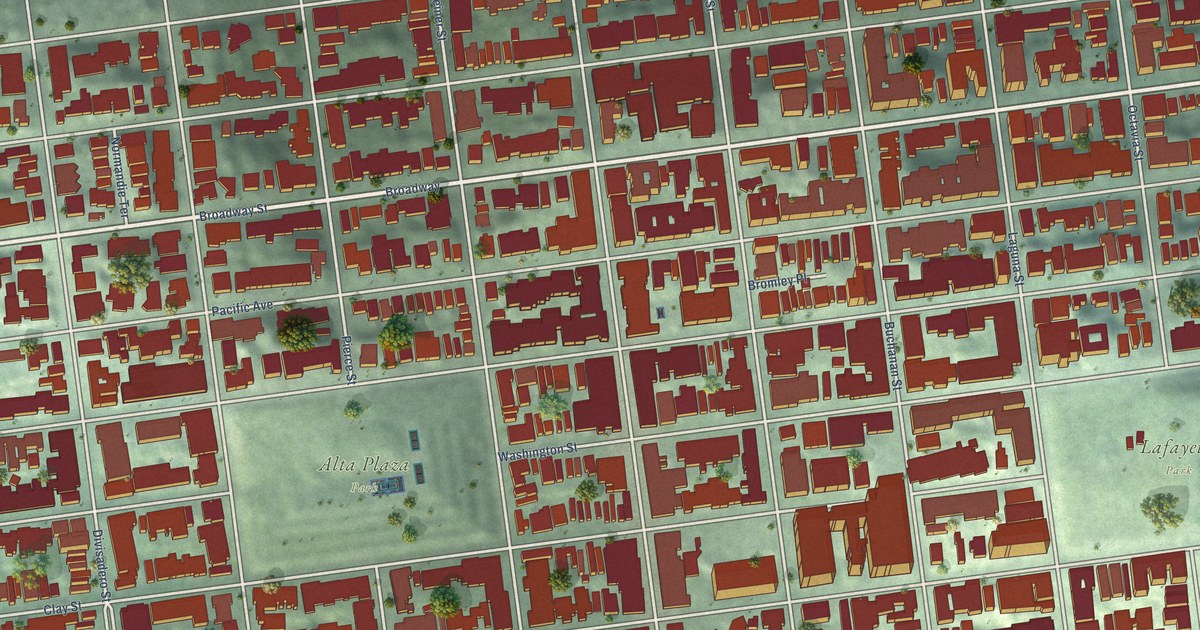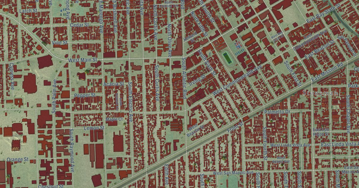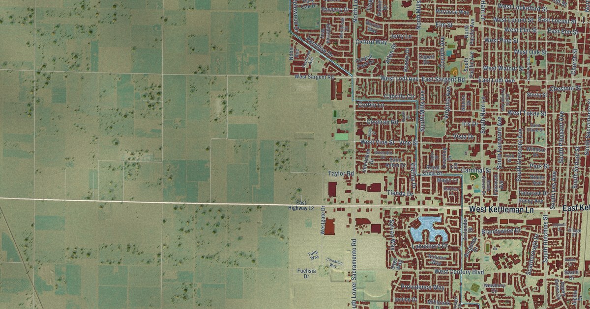
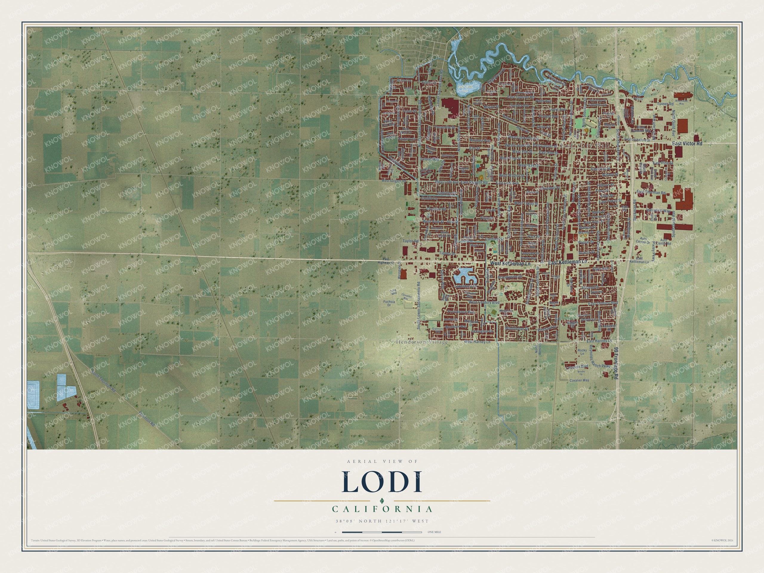
This beautifully detailed map of Lodi, California was created in 2026 using aerial imagery combined with modern topographical, census, street and landmark data. It’s a one-of-a-kind view of Lodi that combines accurate data with a vintage aesthetic. The map shows every building in its true location, many of the roads carry their names, and the shaded topographic relief shows the shape of the land.
Explore an aerial view of Lodi, California
On the map you’ll find Lodi City Hall, Lodi Lake Park, Salas Park, and Henderson Village, along with East Kettleman Lane, West Kettleman Lane, East Victor Road, 99 Frontage Road, South Cherokee Lane, South Hutchins Street, Rivergate Drive, Pixley Parkway, and more. If you look closely you can even find your house accurately drawn in its correct location. Zoom in on the preview to look for yours.
Did you know this piece of Lodi, California history?
From the National Register of Historic Places: "Morse and son Edmund are credited for having planted, in 1892, the first Tokay grapes in Lodi on this ranch."
Take a closer look at the Lodi map
Street and place names on the Lodi, California map
These names are printed on the map of Lodi, California.
Places: Lodi City Hall, Lodi Lake Park, Salas Park and Henderson Village.
Streets and roads: East Kettleman Lane, West Kettleman Lane, East Victor Road, 99 Frontage Road, South Cherokee Lane, South Hutchins Street, Rivergate Drive, Pixley Parkway, Church Street, West Harney Lane, North Lower Sacramento Road, South Mills Avenue.
More street names, A to Z
Acacia Street, Academy Street, Ackerman Drive, Adobe Court, Alder Place, Allen Drive, Almond Drive, Alpine Drive, Applewood Drive, Ash Drive, Aspen Grove Drive, Auto Center Drive, Auto Center Road, Autumn Way, Awani Drive, Barkley Lane, Bayberry Drive, Beckman Road, Benson Drive, Blackbird Place, Black Diamond Way, Black Oak Way, Bluejay Way, Brandywine Drive, Bristol Lane, Brooks Street, Burgundy Drive, Burton Way, Cabrillo Circle, Calaveras Street, California Street, Cambridge Place, Camino Real Drive, Capell Drive, Cardinal Street, Carnation Way, Carriage Drive, Cavalier Way, Central Park Drive, Cherokee Lane, Cherry Street, Chestnut Street, Cluff Avenue, Cochran Road, Colony Drive, Columbia Drive, Commerce Street, Corbin Lane, Corinth Avenue, Cross Street, Daisy Avenue, Devine Drive, Dove Court, Downing Drive, East Century Boulevard, East Elm Street, East Harney Lane, East Highway 12, East Lockeford Street, East Locust Street, East Lodi Avenue, East Oak Street, East Pine Street, East Sargent Road, East Thurman Road, East Tokay Street, East Tunrner Road, East Vine Street, Eden Street, Edgewood Drive, Eilers Lane, Elderica Way, Elgin Avenue, Elm Street, Eureka Avenue, Evergreen Drive, Fairmont Avenue, Fawnhaven Way, Fir Drive, First Street, Flora Street, Forrest Avenue, Fuchsia Drive, Giannoni Way, Grant Avenue, Greenwood Drive, Grenoble Drive, Hale Road, Hansen Drive, Harold Street, Heirloom Avenue, Hilborn Street, Holly Drive, Houston Lane, Idlewild Drive, Incline Drive, Industrial Way, Interlaken Drive, Iris Drive, Ivory Lane, James Street, Jerry Lane, Kirkwood Drive, Kirsten Drive, Lake Home Drive, Lakeshore Drive, Lake Street, Lakewood Drive, Laurel Avenue, Layland Drive, Lebaron Boulevard, Lexington Drive, Lilac Street, Lincoln Avenue, Lloyd Street, Louie Avenue, Lower Sacramento Road, Madera Drive, Maggio Circle, Magic Lane, Maple Street, Mariposa Way, Mason Street, Melby Drive, Millbrook Drive, Mission Street, Mokelumne River Drive, Mosswood Drive, Mulberry Circle, Murray Street, Nevins Drive, Newbury Circle, Nobel Avenue, North Cluff Avenue, North Garfield Street, North Guild Avenue, North Ham Lane, North Loma Drive, North Main Street, North Mills Avenue, North Pacific Avenue, North Sacramento Street, North School Street, North Stockton Street, North Thornton Road, North West Lane, Oak Knoll Way, Olive Court, Oriole Lane, Oxford Way, Palm Avenue, Paradise Drive, Park Oak Drive, Park Street, Park West Drive, Peach Street, Pioneer Drive, Poplar Street, Providence Way, Rainier Drive, Regent Street, Reynolds Ranch Parkway, Ribier Avenue, Rimby Avenue, Rio Vista Drive, Rocky Lane, Roper Avenue, Royal Crest Drive, Royal Oaks Court, Rutledge Drive, Sage Way, Saint Anton Drive, Saint Claire Drive, Scarborough Drive, Schaffer Drive, South Central Avenue, South Cluff Avenue, South Crescent Avenue, South Fairmont Avenue, South Garfield Street, South Guild Avenue, South Ham Lane, South Kelly Street, South Lee Avenue, South Lower Sacramento Road, South Main Street, South Orange Avenue, South Pacific Avenue, South Pleasant Avenue, South Rose Street, South Sacramento Street, South School Street, South Stockton Street, South Sunset Drive, South Washington Street, Sparrow Lane, Stanislaus Street, Starling Way, Sturla Street, Swain Drive, Sweetwood Drive, Sylvan Way, Tahoe Drive, Tamarack Drive, Taylor Road, Tejon Street, Thornton Road, Tienda Drive, Tioga Drive, Tudor Street, Tulip Way, Turner Road, Vienna Drive, Village Street, Vine Street, Vineyard Drive, Virginia Avenue, Vista Drive, Walnut Street, Watson Street, Westbridge Drive, Westbrook Drive, West Century Boulevard, West Elm Street, Westgate Drive, West Lockeford Street, West Locust Street, West Lodi Avenue, West Oak Street, West Pine Street, West Sargent Road, West Tokay Street, West Vine Street, West Walnut Street, White Oak Way, Willow Glen Drive, Wimbledon Drive, Windsor Drive, Winemaster Way, Woodhaven Lane, Woodrow Street, Wyndham Way, Yokuts Drive, York Street, Yosemite Drive, Zinfandel Drive.
See the Lodi, California map on a wall
The Lodi map as an 18 x 24 inch print in a black frame.

This beautifully detailed map of Lodi makes an attractive addition to your office, library, or den, and it can even be used to teach children the geography and history of the area. It also makes a great gift for someone who left Lodi and still calls it home. When you’re done exploring, click here to get your copy of the Lodi map.