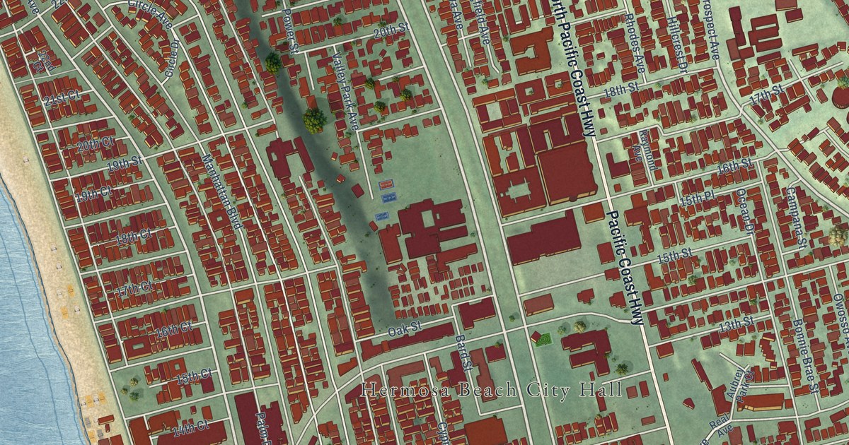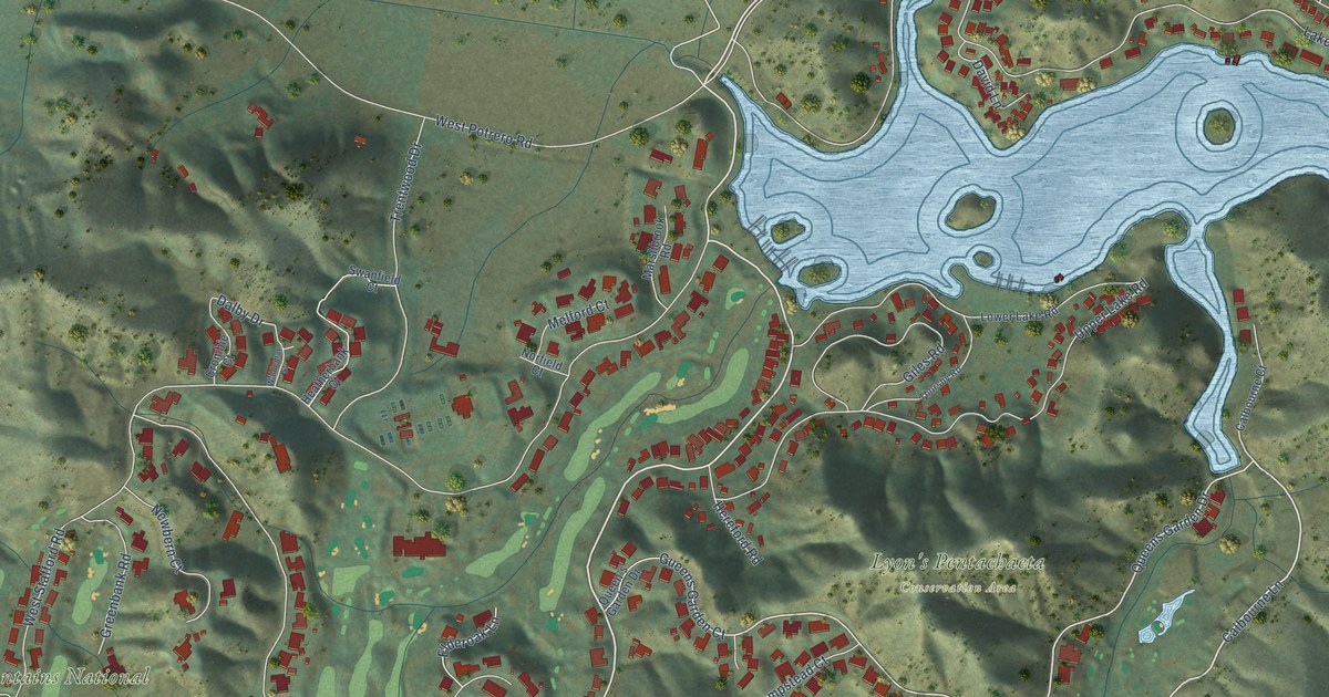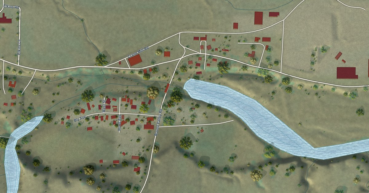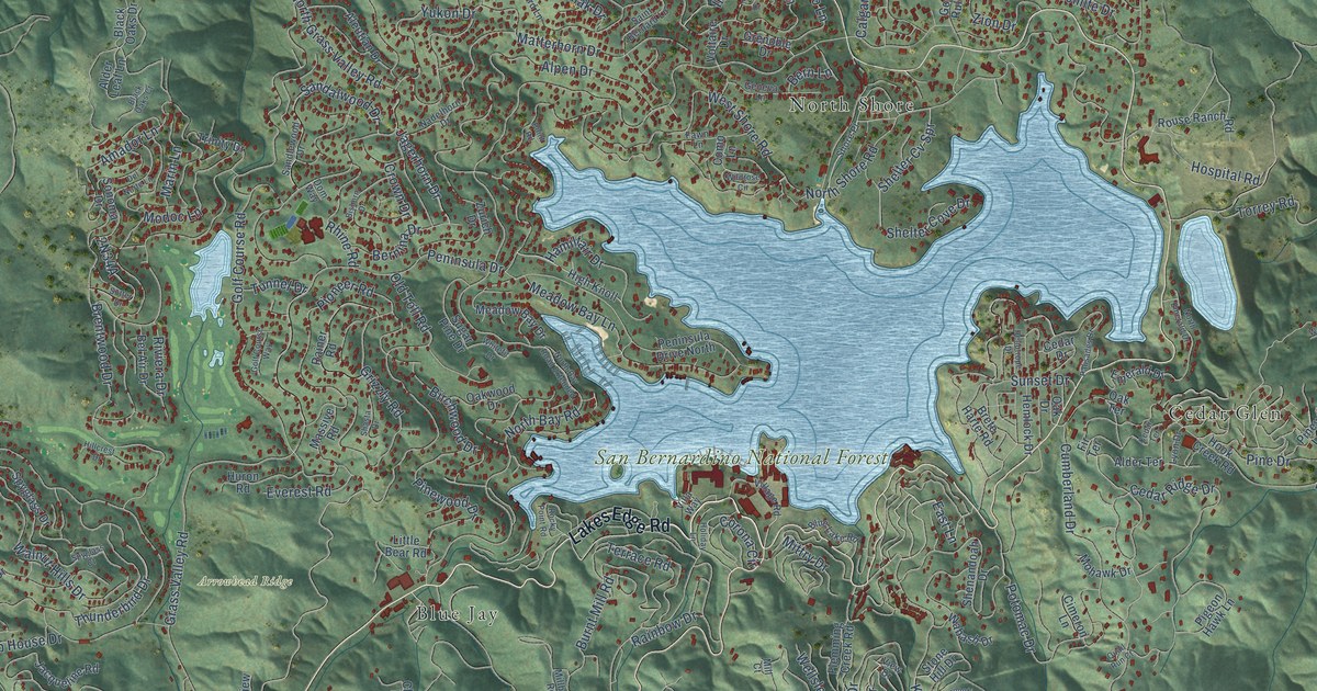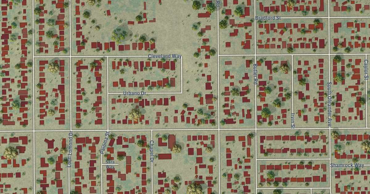
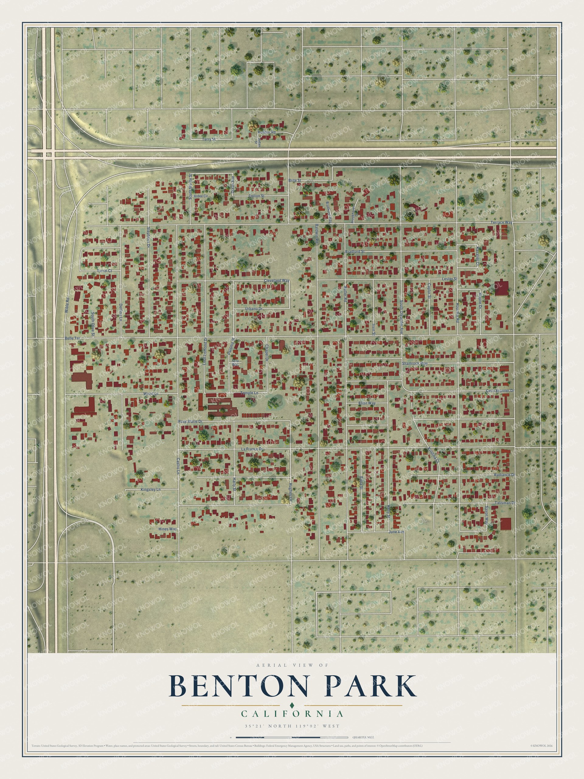
This beautifully detailed map of Benton Park, California was created in 2026 using aerial imagery combined with modern topographical, census, street and landmark data. It's a modern aerial view of Benton Park in Kern County, California, that combines modern data with a vintage aesthetic. The roads feature printed names, and if you look closely you can find your exact house accurately shown in its correct location.
Explore an aerial view of Benton Park, California
On this map you'll find South Myrtle Street, Brite Street, Terry Street, Dixon Avenue, Hughes Lane, Temple Lane, June Avenue, Belle Terrace, Terrace Way, La France Drive, Baldwin Road, Rose Marie Drive, and more. Each red shape is a building, so zoom in on the preview and look for yours.
Benton Park is a community in Kern County. The Census Bureau counted 5,333 people here in 2020. Benton Park sits about 2 miles west of Casa Loma, 2 miles west of Cottonwood and 3 miles east of Olde Stockdale. The map prints the town name in its title panel, with the coordinates below it.
Take a closer look at the Benton Park map
Names on this map
These names are printed on this map.
Streets and roads: South Myrtle Street, Brite Street, Terry Street, Dixon Avenue, Hughes Lane, Temple Lane, June Avenue, Belle Terrace, Terrace Way, La France Drive, Baldwin Road, Rose Marie Drive.
More street names, A to Z
Ardee Circle, Bradford Street, Brookhaven Drive, Brynhurst Way, Butler Road, Castro Lane, Caylor Street, Cecil Brunner Drive, Chapel Drive, Cleveland Way, Colton Street, Delfino Lane, Edna Street, Ellen Way, Harty Street, Hines Way, Houchin Road, Irvin Street, Judan Street, Kavalier Court, Kelly Street, Kingsley Lane, Kristina Court, Lester Street, Loch Lomond Drive, Paloma Street, Radiance Drive, Robbin Road, Sara Way, Saxon Way, Shamrock Way, South Oleander Avenue, South Olive Street, Stephens Drive, Talisman Drive, Terrel Court, Urbano Drive, Wayne Drive, Wible Road, Wood Lane.
See it on a wall
The Benton Park map as a framed print. Swipe for more.


Created by KNOWOL in 2026. The buildings are small red shapes, the roads carry their printed names, and shaded relief shows the shape of the land. The title panel reads "AERIAL VIEW OF BENTON PARK, CALIFORNIA" with 35°21' NORTH 119°02' WEST.
Hang it in the hallway, the office or the cabin, or give it to someone who left Benton Park and still calls it home. Open the preview and look for a street you know. See sizes and frames for the Benton Park map.