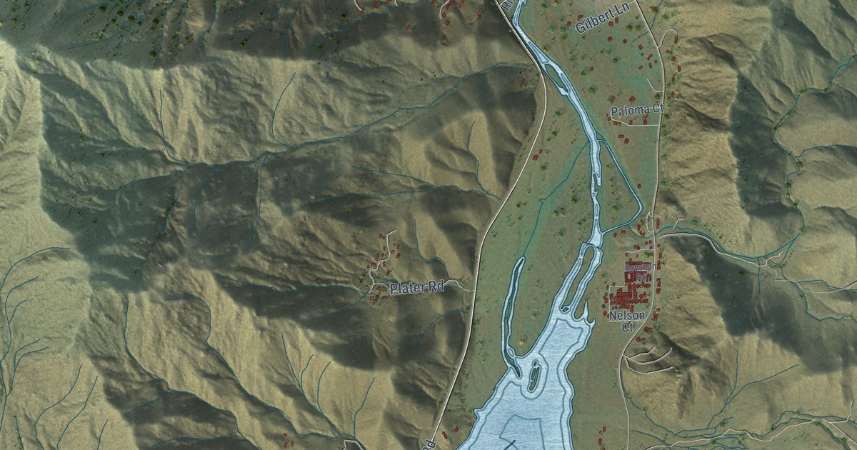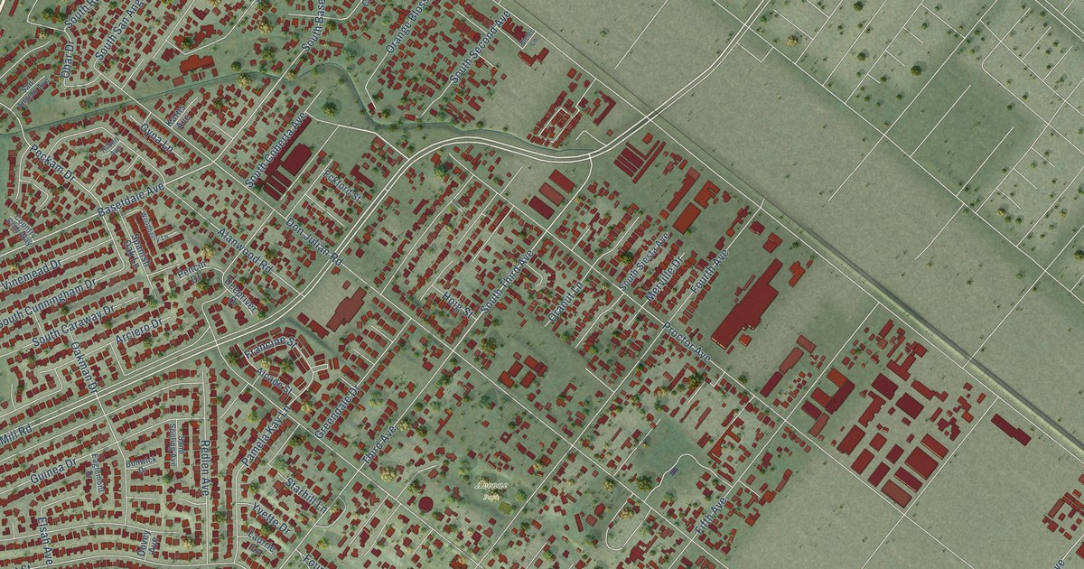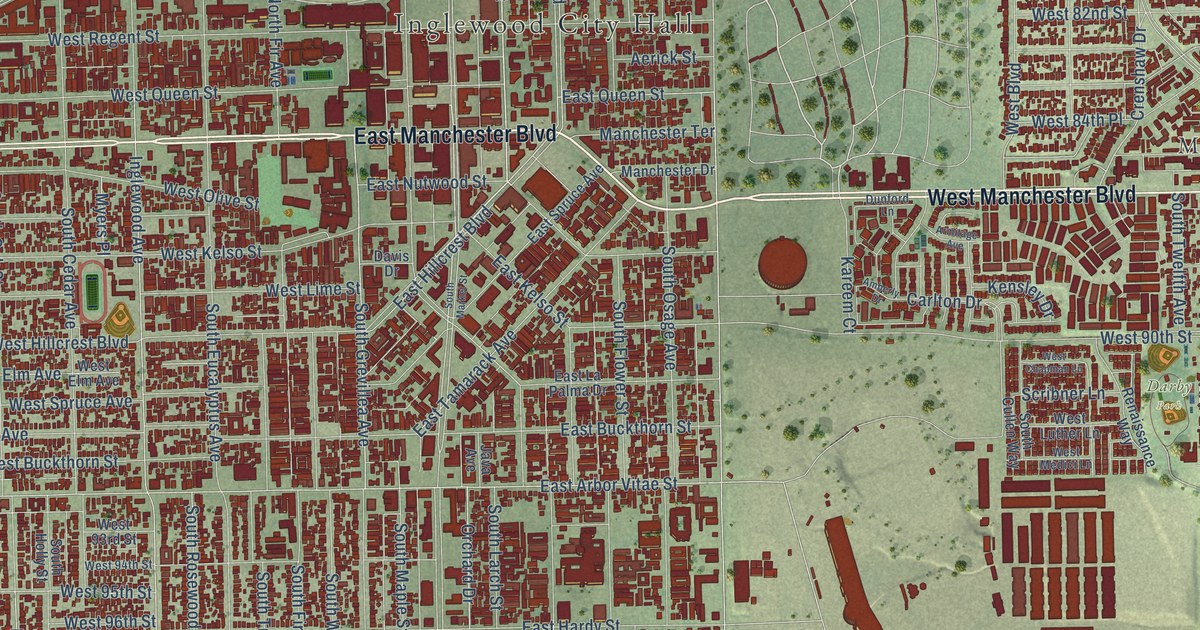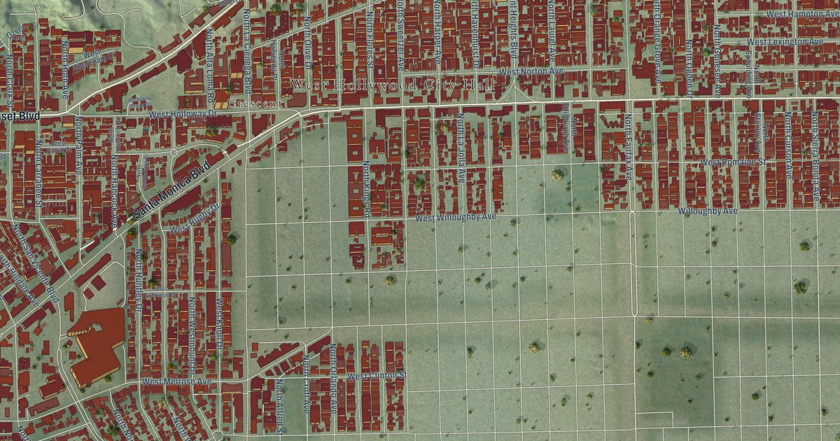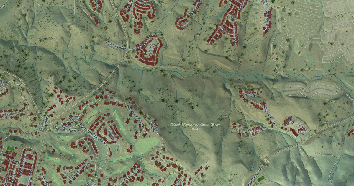
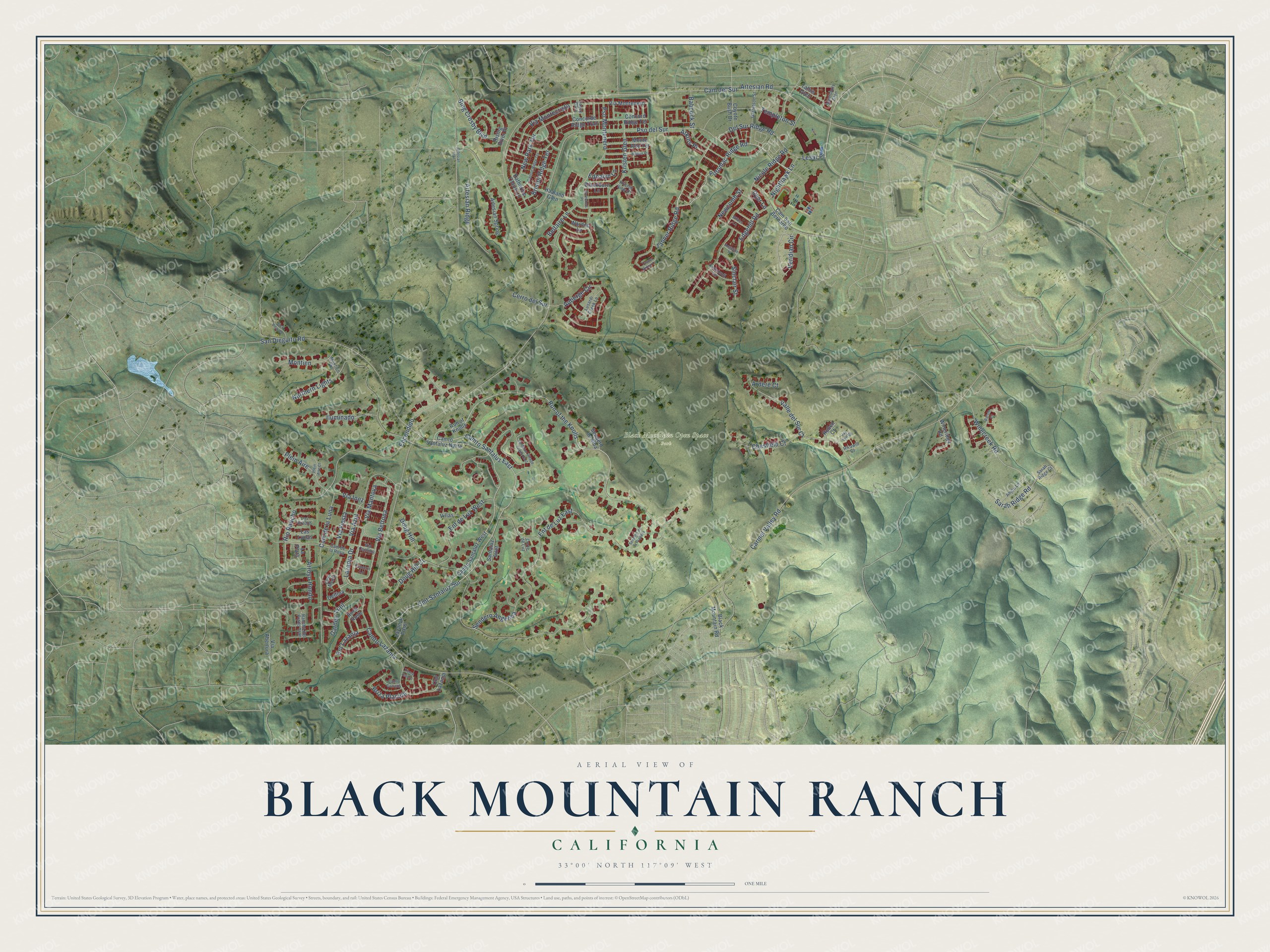
This beautifully detailed map of Black Mountain Ranch, California was created in 2026 using aerial imagery combined with modern topographical, census, street and landmark data. It's a modern aerial view of Black Mountain Ranch in San Diego County, California, that combines modern data with a vintage aesthetic. The roads feature printed names, and if you look closely you can find your exact house accurately shown in its correct location.
Explore an aerial view of Black Mountain Ranch, California
On this map you'll find Black Mountain Open Space Park, Run of the Knolls, Ent de Luz East, Potomac Ridge Road, Camto Santaluz East, Cmt Santaluz Sur, Tanner Ridge Road, Lesar Place, Via Bettona, Cam del Sur, Cam de la Luna, Veridian Circle, and more. Each red shape is a building, so zoom in on the preview and look for yours.
Every town has a first chapter, and Black Mountain Ranch is no exception. The City of San Diego puts it this way: "The Subarea Plan was approved by the City Council and the voters of the City of San Diego in 1998."
Black Mountain Ranch is a place in San Diego County.
Take a closer look at the Black Mountain Ranch map
Names on this map
These names are printed on this map.
Places: Black Mountain Open Space Park.
Streets and roads: Run of the Knolls, Ent de Luz East, Potomac Ridge Road, Camto Santaluz East, Cmt Santaluz Sur, Tanner Ridge Road, Lesar Place, Via Bettona, Cam del Sur, Cam de la Luna, Veridian Circle, Carmel Valley Road.
More street names, A to Z
Angeline Place, Anjou Lane, Ardere Court, Arroyo Hondo, Artesian Ridge, Artesian Road, Artesian Spring, Artesian Trail, Atkins Place, Auberge Circle, Babcock Street, Barolo Court, Beltaire Lane, Bing Crosby Boulevard, Blackburn Lane, Black Mountain Road, Bristol Ridge Terrace, Briza Placida, Cam de la Rosa, Cam San Bernardo, Camto Camelia, Camto Lazanja, Camto Santaluz Norte, Camto Santaluz West, Canton Ridge Terrace, Casey Glen, Cerro del Sur, Chesfield Court, Cmt Lazanja, Concerto Lane, Concorde Ridge Trail, Concord Ridge Terrace, Corte de Luz, Coyote Bush Drive, Delfina, Del Sur Ridge Road, Doug Hill, Doug Hill Court, Dyer Lane, Edgehill Road, Ednalyn Lane, Encendido, Ent de Luz West, Ent Lazanja, Garden Trail, Garretson Street, Haaland Glen, Iluminado, Jay Tee Court, Katherine Claire Lane, Kennicott Lane, Kristen Glen, Kristen View Court, La Plata, Las Lunas, Lazanja Drive, Lazanja Pass, Los Brazos, Luna Media, Lusardi Creek Lane, Mathis Place, Monte Alto Terrace, Montien, Montien Ps, Newcomb Street, New Park Terrace, Nicole Ridge Road, Nighthawk Lane, Northern Lights, Plein Aire, Plein Aire Court, Pso del Sur, Pso Montenero, Rancho del Prado Trail, Rio Rancho, Rising River Place, Rivawill Court, Rock Rose, Rock View Court, Ruben Court, Run of Knolls, Saintsbury Glen, San Dieguito Road, Santaluz Inlet, Santaluz Village Green East, Sarah Ridge Court, Sarah Ridge Road, Sendero Angelica, Sendero de Alba, Sendero de la Pradera, Sinclair Street, Spreckels Place, Tallus Glen, Tanner Ridge Circle, Templeton Street, Tierra Tesoro, Valle del Sur Court, Via Abertura, Via Azul, Via Cortona, Via Fiesta, Via Inez, Via Mantova, Via Montecristo, Via Montenero, Villas, Warden Lane, Wilkes Lane, Winecreek Road, Wineridge Road.
Created by KNOWOL in 2026. The buildings are small red shapes, the roads carry their printed names, and shaded relief shows the shape of the land. The title panel reads "AERIAL VIEW OF BLACK MOUNTAIN RANCH CALIFORNIA" with 33°00' NORTH 117°09' WEST.
Hang it in the hallway, the office or the cabin, or give it to someone who left Black Mountain Ranch and still calls it home. Open the preview and look for a street you know. See sizes and frames for the Black Mountain Ranch map.