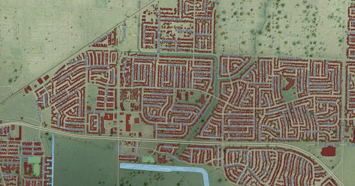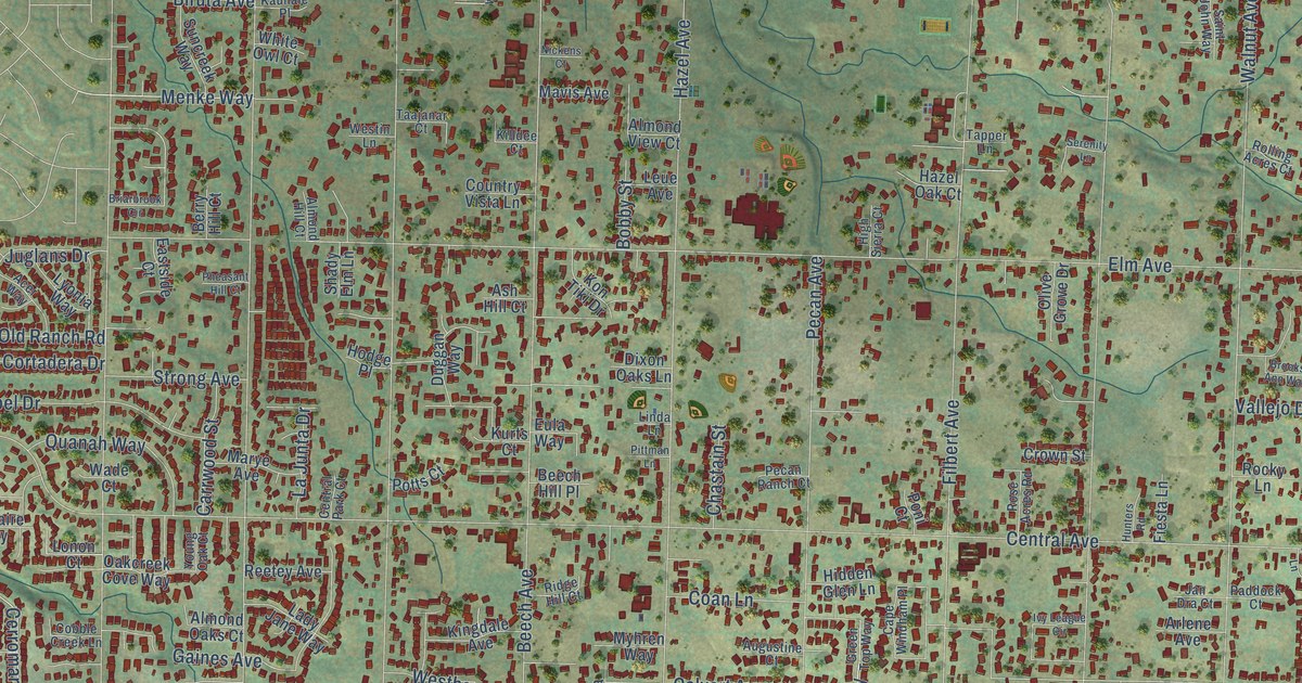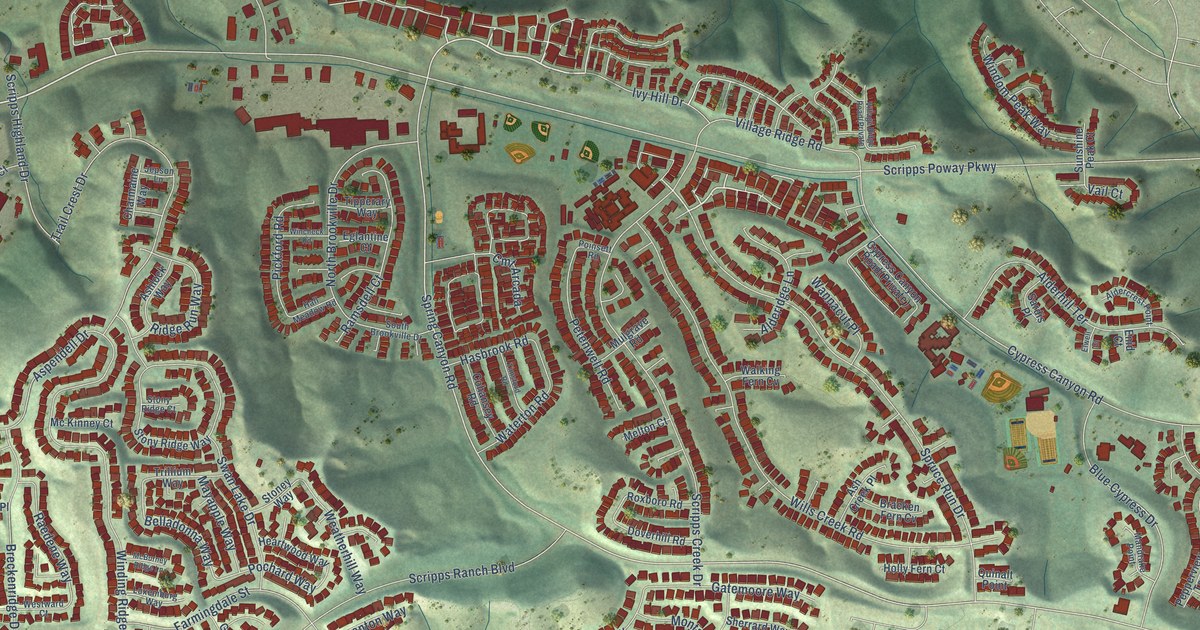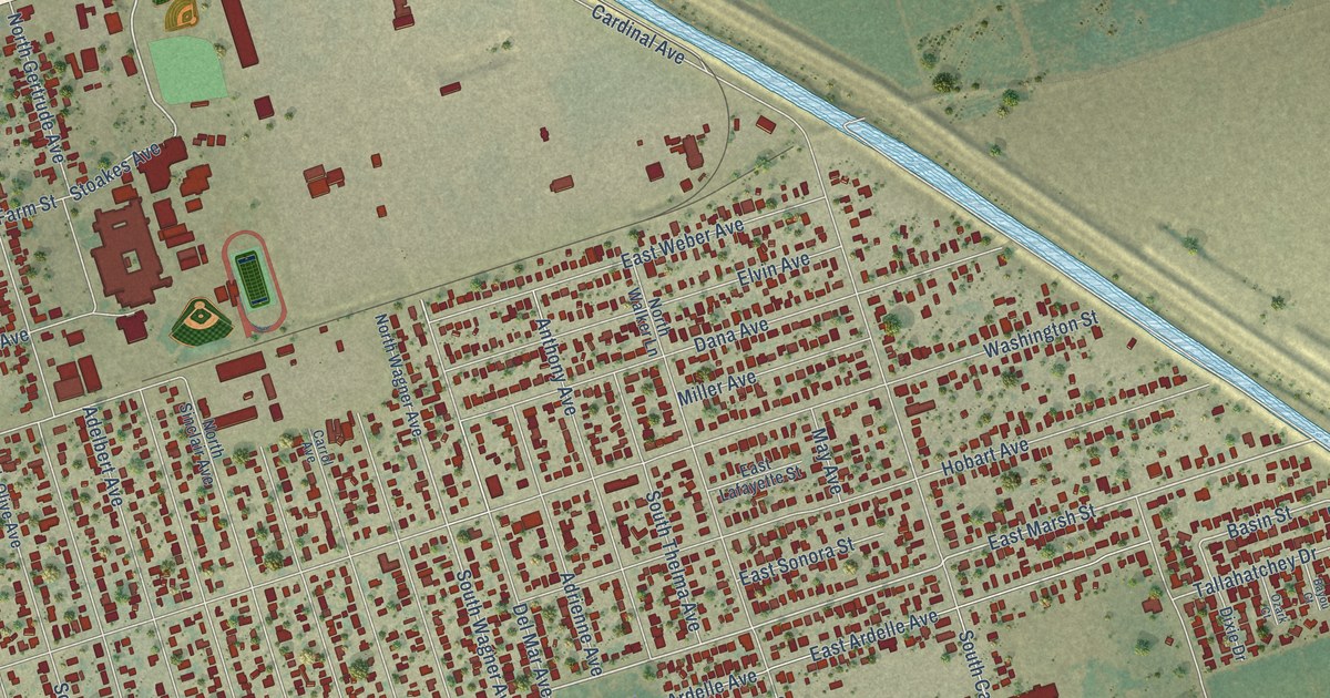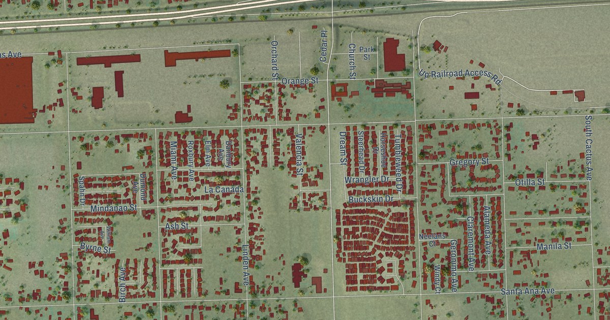
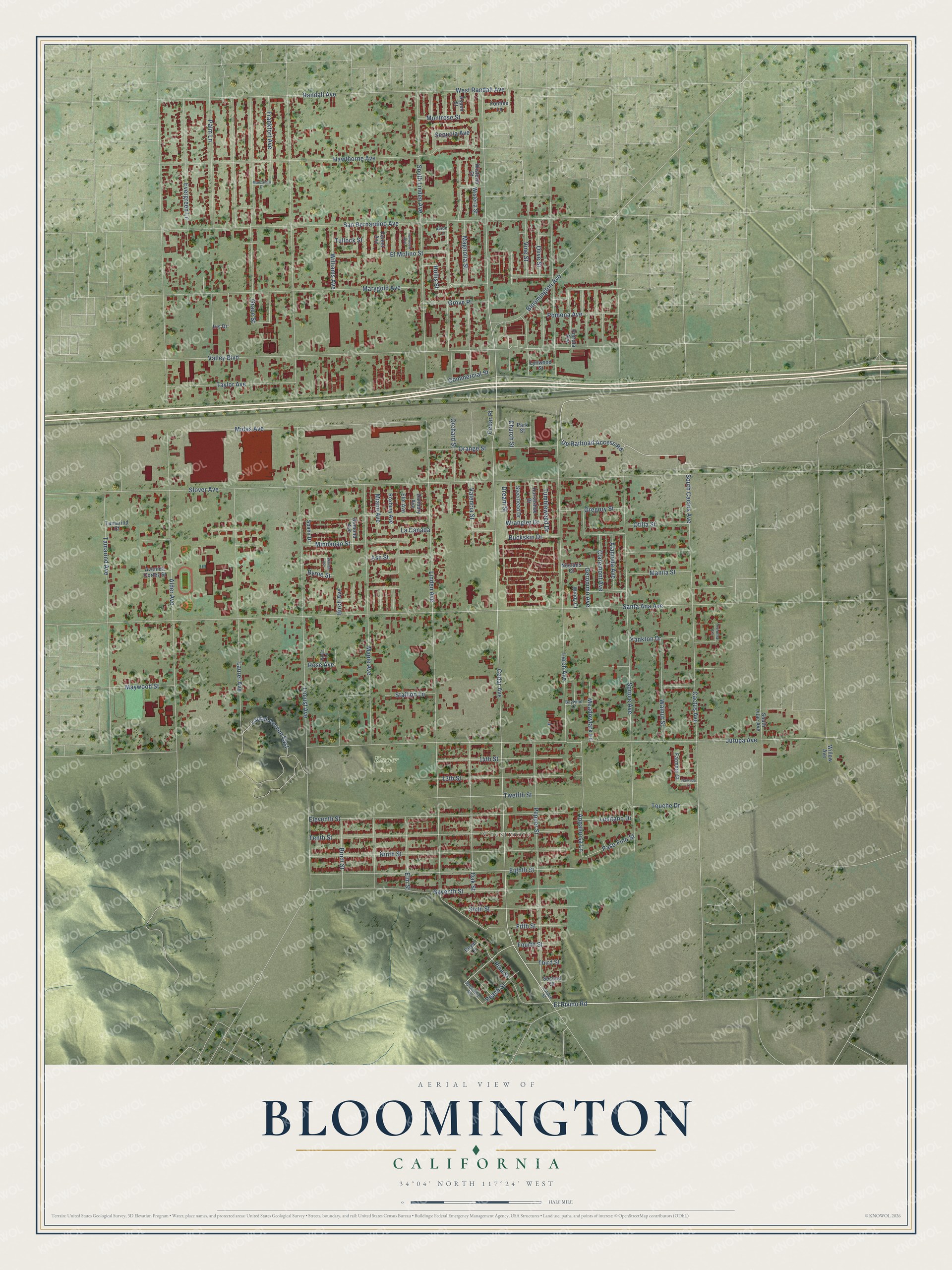
This beautifully detailed map of Bloomington, California was created in 2026 using aerial imagery combined with modern topographical, census, street and landmark data. It's a modern aerial view of Bloomington in San Bernardino County, California, that combines modern data with a vintage aesthetic. The roads feature printed names, and if you look closely you can find your exact house accurately shown in its correct location.
Explore an aerial view of Bloomington, California
On this map you'll find Crestmore, Kessler Park, Cedar Avenue, Linden Avenue, Up Railroad Access Road, El Rivino Road, Hollis Street, Locust Avenue, Santa Ana Avenue, Alder Avenue, Slover Avenue, Jurupa Avenue, and more. Each red shape is a building, so zoom in on the preview and look for yours.
Bloomington is a community in San Bernardino County. The Census Bureau counted 24,339 people here in 2020. The map prints the town name in its title panel, with the coordinates below it.
Take a closer look at the Bloomington map
Names on this map
These names are printed on this map.
Places: Crestmore and Kessler Park.
Streets and roads: Cedar Avenue, Linden Avenue, Up Railroad Access Road, El Rivino Road, Hollis Street, Locust Avenue, Santa Ana Avenue, Alder Avenue, Slover Avenue, Jurupa Avenue, Larch Avenue, Valley Boulevard.
More street names, A to Z
13th Street, 14th Street, Alameda Avenue, Appaloosa Lane, Ash Street, Aspen Street, Avenida Cortez Street, Avion Lane, Baywind Lane, Birch Avenue, Birch Street, Bloomington Avenue, Buckskin Drive, Byrne Street, Cactus Avenue, Cedar Place, Church Street, Claremont Avenue, Commercial Street, Danbury Avenue, Dream Street, Dumond Avenue, Eighth Street, Eleventh Street, Elm Avenue, El Molino Street, Elm Street, Evergreen Lane, Farmers Court, Fifth Street, Fontlee Lane, Forest Avenue, Fourth Street, Frankfort Avenue, Geronimo Avenue, Grace Street, Gregory Street, Grove Place, Hamada Lane, Hawthorne Avenue, Horseshoe Drive, Iris Drive, Ironwood Avenue, La Canada, Laurel Avenue, Laurel Avenue East, Linden Street, Lusitano Drive, Lynwood Street, Magnolia Street, Manila Street, Manzanita Drive, Maple Avenue, Marygold Avenue, Maywood Street, Meadowlark Lane, Miami Avenue, Midas Avenue, Mindanao Street, Montrose Street, Neelans Court, Ninth Street, Oak Street, Olive Street, Orange Street, Orchard Street, Otilla Street, Palm Lane, Park Street, Paso Fino Street, Peach Street, Pepper Street, Pine Street, Pomona Avenue, Portola Avenue, Randall Avenue, Rose Avenue, Rose Lane, Roxbury Avenue, Royal Lane, San Bernardino Avenue, Second Street, Sequoia Avenue, Seventh Street, Sixth Street, South Cactus Avenue, South Lilac Avenue, South Linden Avenue, Spahn Drive, Spruce Avenue, Stallion Lane, Steerhead Drive, Sycamore Street, Tamarind Avenue, Tamarind Court, Taylor Avenue, Tenth Street, Third Street, Touche Drive, Trenmar Lane, Tullock Street, Tumbleweed Drive, Twelfth Street, Valencia Street, Vine Street, Walnut Street, West Randall Avenue, William Avenue, Williams Avenue, Willow Avenue, Windy Court, Wisteria Court, Wisteria Street, Wrangler Drive, Yankton Drive.
Created by KNOWOL in 2026. The buildings are small red shapes, the roads carry their printed names, and shaded relief shows the shape of the land. The title panel reads "AERIAL VIEW OF BLOOMINGTON CALIFORNIA" with 34°04' NORTH 117°24' WEST.
Hang it in the hallway, the office or the cabin, or give it to someone who left Bloomington and still calls it home. Open the preview and look for a street you know. See sizes and frames for the Bloomington map.