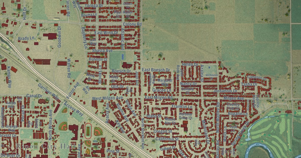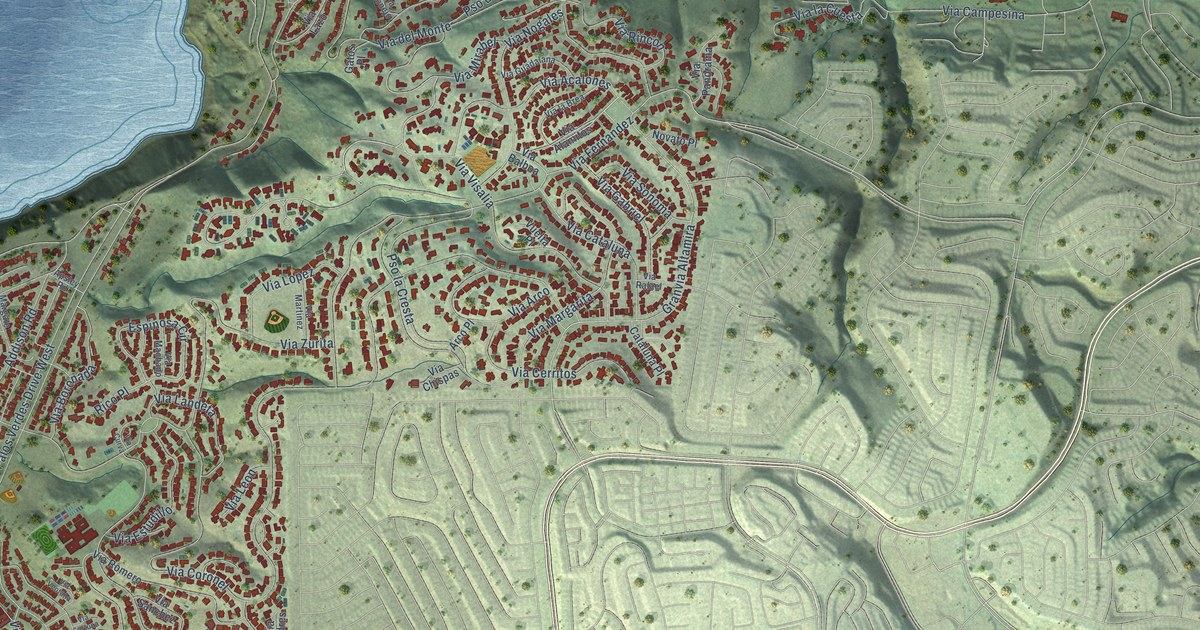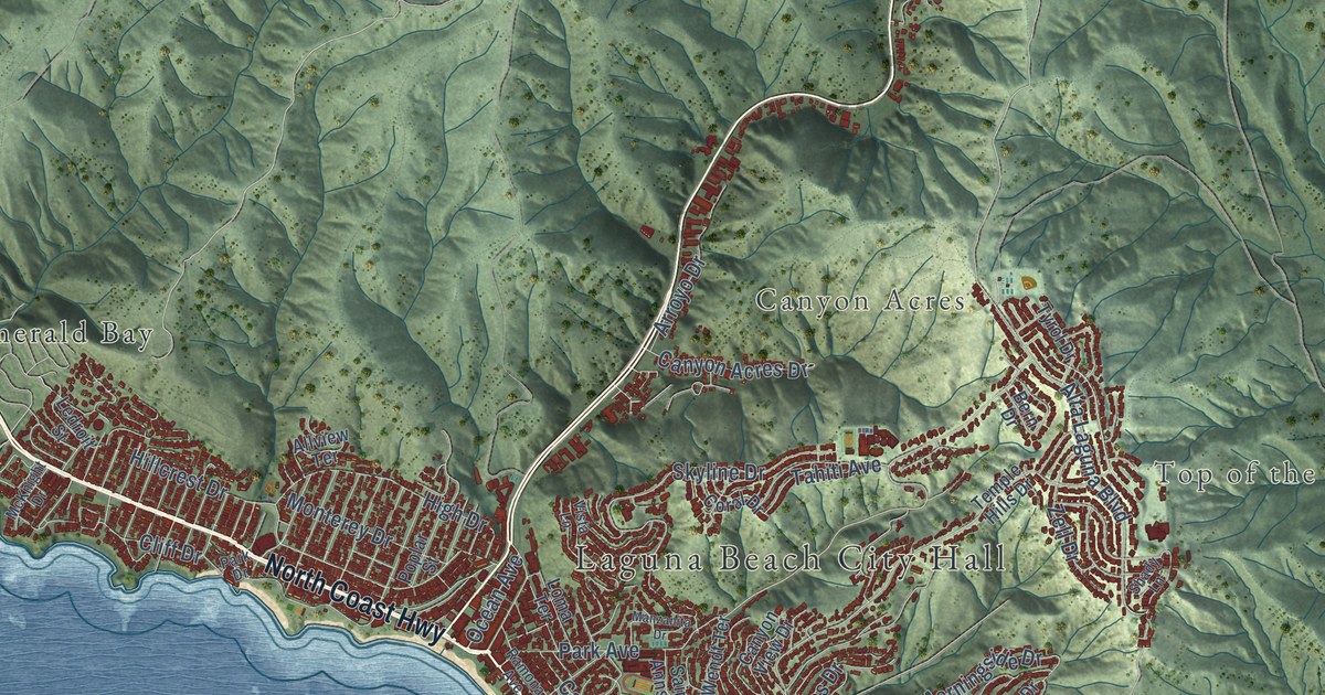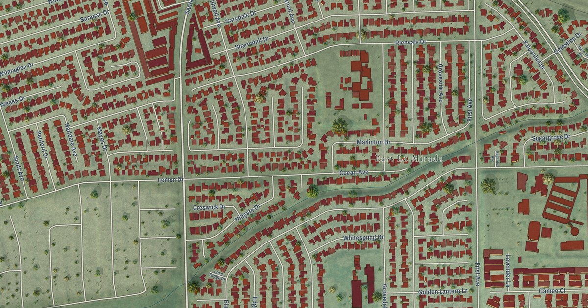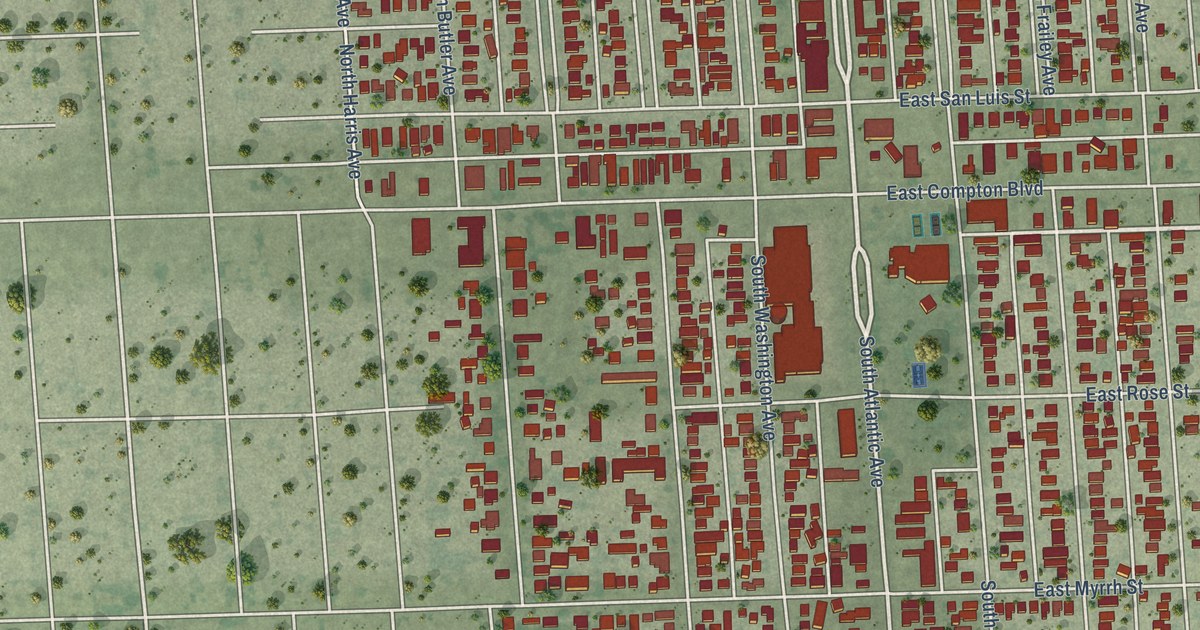
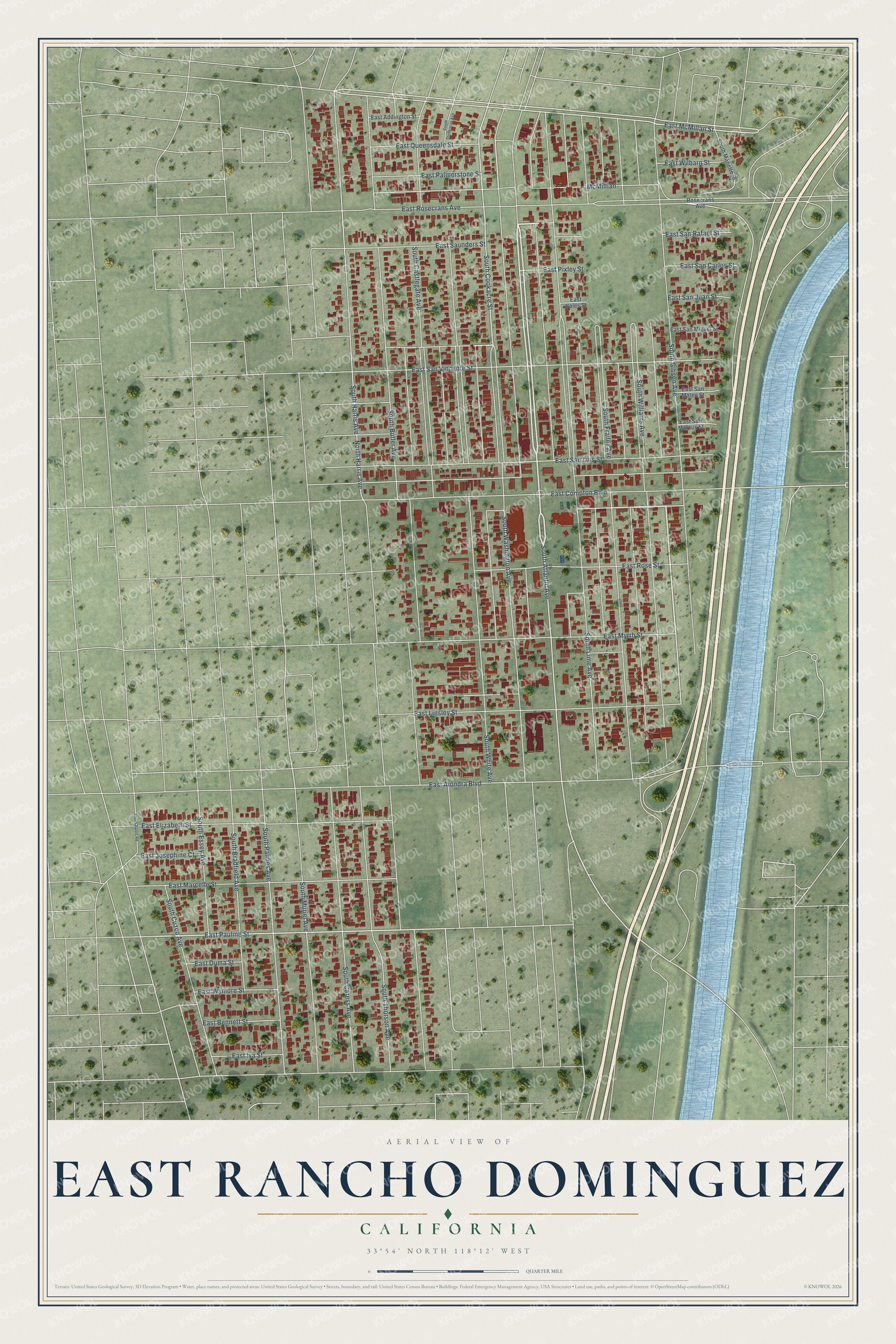
This beautifully detailed map of East Rancho Dominguez, California was created in 2026 using aerial imagery combined with modern topographical, census, street and landmark data. It's a modern aerial view of East Rancho Dominguez in Los Angeles County, California, that combines modern data with a vintage aesthetic. The roads feature printed names, and if you look closely you can find your exact house accurately shown in its correct location.
Explore an aerial view of East Rancho Dominguez, California
On this map you'll find South Atlantic Avenue, East Pauline Street, South Cookacre Street, East McMillan Street, South Lime Avenue, South Butler Avenue, South White Avenue, South Williams Avenue, South Harris Avenue, South Frailey Avenue, South Castlegate Avenue, South Thorson Avenue, and more. Each red shape is a building, so zoom in on the preview and look for yours.
East Rancho Dominguez is a community in Los Angeles County. The Census Bureau counted 15,114 people here in 2020. The map prints the town name in its title panel, with the coordinates below it.
Take a closer look at the East Rancho Dominguez map
Names on this map
These names are printed on this map.
Streets and roads: South Atlantic Avenue, East Pauline Street, South Cookacre Street, East McMillan Street, South Lime Avenue, South Butler Avenue, South White Avenue, South Williams Avenue, South Harris Avenue, South Frailey Avenue, South Castlegate Avenue, South Thorson Avenue.
More street names, A to Z
East Addington Street, East Alondra Boulevard, East Bales Street, East Bennett Street, East Compton Boulevard, East Duma Street, East Elizabeth Street, East Iva Street, East Josephine Court, East Linsley Street, East Marcelle Street, East Myrrh Street, East Palmerstone Street, East Pixley Street, East Queensdale Street, East Rosecrans Avenue, East Rose Street, East San Carlos Street, East San Juan Street, East San Luis Street, East San Marcus Street, East San Mateo Street, East San Miguel Street, East San Rafael Street, East San Vincente Street, East Saunders Street, East Wilbarn Street, East Wymore Street, McMillian, North Harris Avenue, Rosecrans Avenue, South Bradfield Avenue, South Bullis Road, South Caress Avenue, South Cuzco Avenue, South Essey Avenue, South Gibson Avenue, South Manette Place, South Muriel Avenue, South Pannes Avenue, South Stoneacre Avenue, South Washington Avenue.
Created by KNOWOL in 2026. The buildings are small red shapes, the roads carry their printed names, and shaded relief shows the shape of the land. The title panel reads "AERIAL VIEW OF EAST RANCHO DOMINGUEZ CALIFORNIA" with 33°54' NORTH 118°12' WEST.
Hang it in the hallway, the office or the cabin, or give it to someone who left East Rancho Dominguez and still calls it home. Open the preview and look for a street you know. See sizes and frames for the East Rancho Dominguez map.