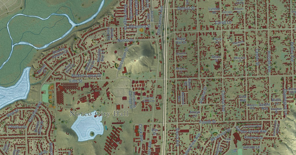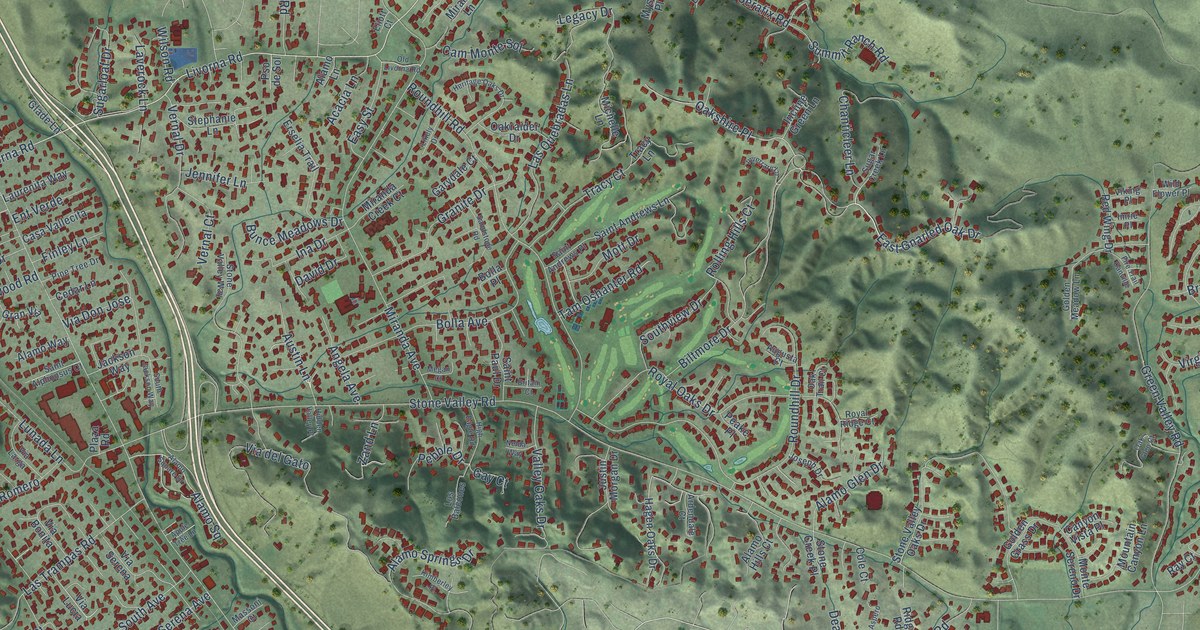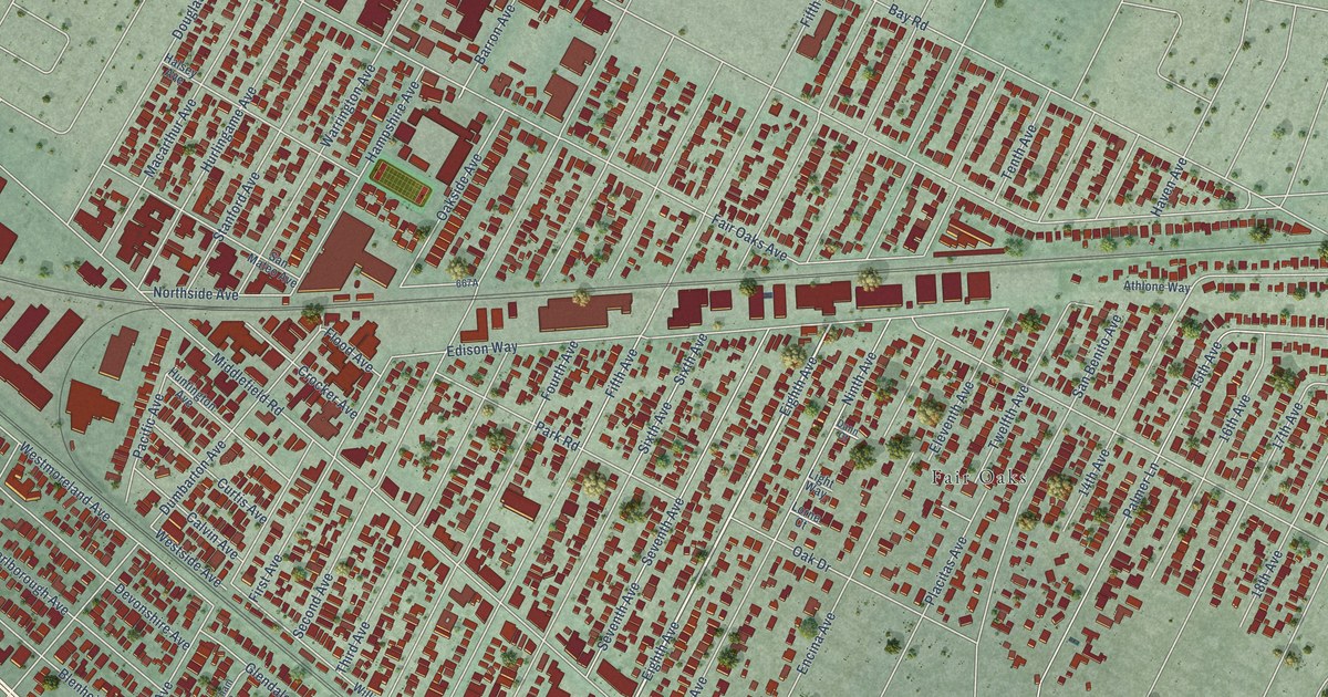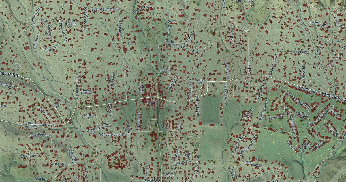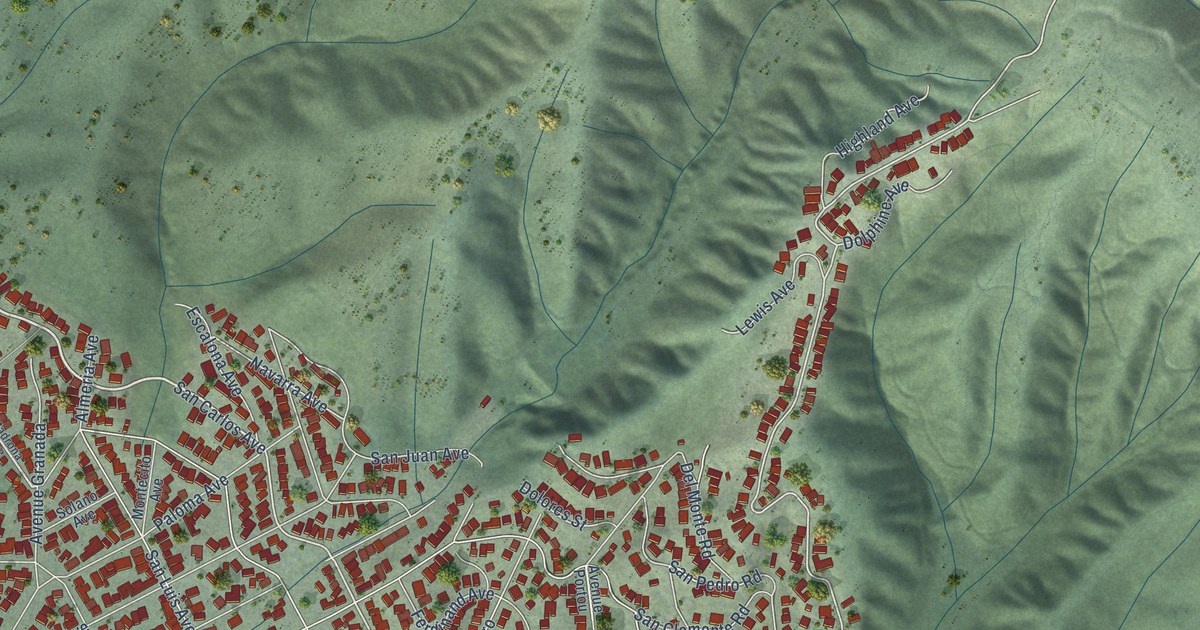
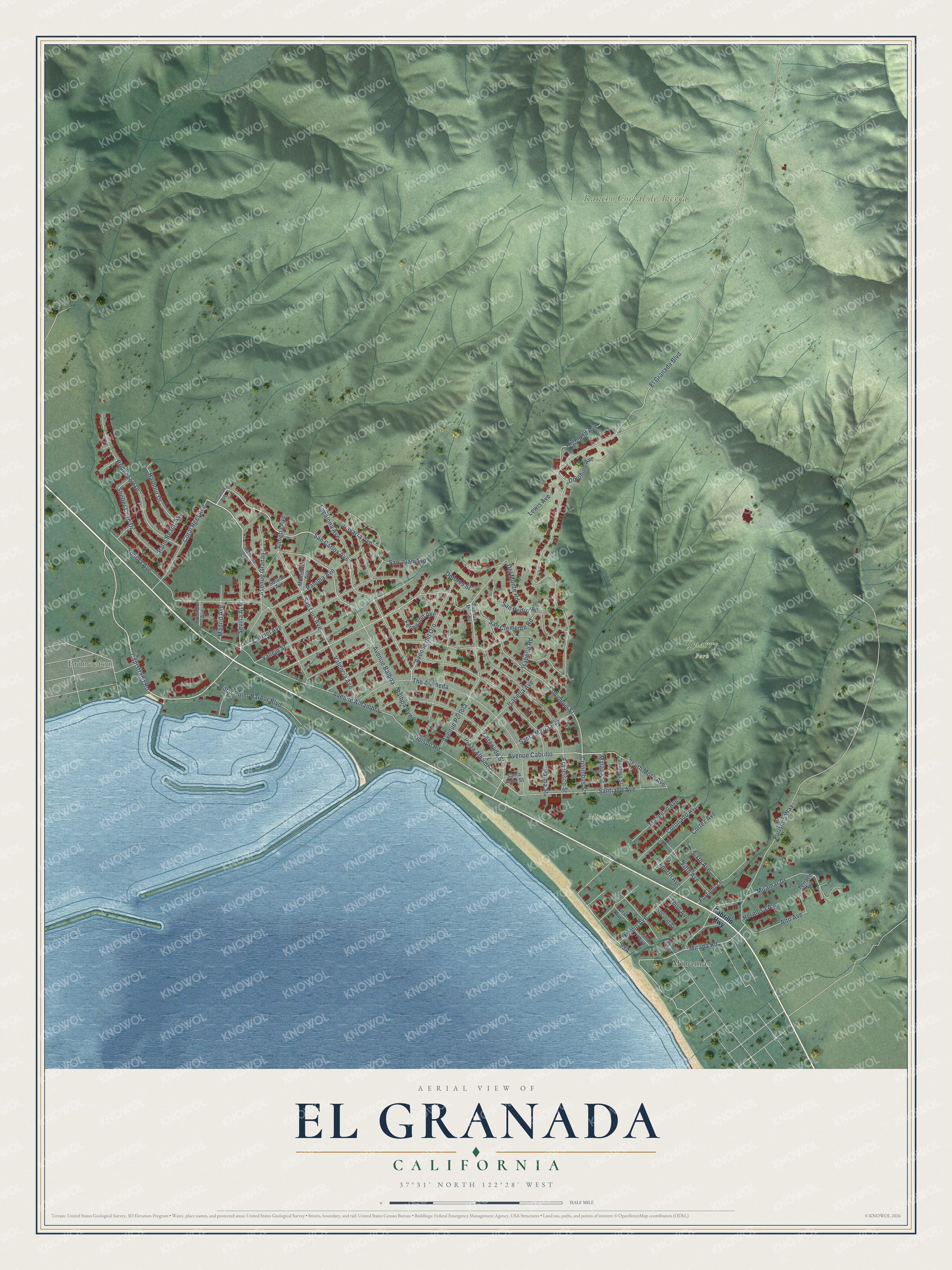
This beautifully detailed map of El Granada, California was created in 2026 using aerial imagery combined with modern topographical, census, street and landmark data. It's a modern aerial view of El Granada in San Mateo County, California, that combines modern data with a vintage aesthetic. The roads feature printed names, and if you look closely you can find your exact house accurately shown in its correct location.
Explore an aerial view of El Granada, California
On this map you'll find Princeton, Mirada Surf, Quarry Park, Rancho Corral de Tierra, Miramar, San Carlos Avenue, Capistrano Road, Sevilla Avenue, Avenue Cabrillo, Avenue Alhambra, Colombus Street, Columbus Street, and more. Each red shape is a building, so zoom in on the preview and look for yours.
El Granada is a community in San Mateo County. The Census Bureau counted 5,481 people here in 2020. The map prints the town name in its title panel, with the coordinates below it.
Take a closer look at the El Granada map
Names on this map
These names are printed on this map.
Places: Princeton, Mirada Surf, Quarry Park, Rancho Corral de Tierra and Miramar.
Streets and roads: San Carlos Avenue, Capistrano Road, Sevilla Avenue, Avenue Cabrillo, Avenue Alhambra, Colombus Street, Columbus Street, Harbour Drive, Palm Beach Avenue, Mirada Road, El Granada Boulevard, Isabella Road.
More street names, A to Z
Alameda Avenue, Al Catraz Avenue, Almeria Avenue, Alto Avenue, Avenue Balboa, Avenue del Oro, Avenue Granada, Avenue Portola, Avenue Portou, Balboa Avenue, Bridgeport Drive, Cabrillo Highway, Carmel Avenue, Coral Reef Avenue, Coronado Avenue, Coronado Street, Cortez Avenue, Del Monte Road, Dolores Street, Dolphine Avenue, Escalona Avenue, Ferdinand Avenue, Fifth Avenue, First Avenue, Fourth Avenue, Francisco Street, Furtado Lane, Hermosa Avenue, Highland Avenue, Isabella Avenue, Johnson Pier, Lewis Avenue, Madrid Avenue, Madrona Avenue, Magellan Avenue, Malaga Street, Medio Avenue, Miramar Drive, Montecito Avenue, Navarra Avenue, Obispo Road, Palma Street, Paloma Avenue, Pillar Point Harbor Boulevard, Plaza Alhambra, Presidio Avenue, Purisima Way, San Clemente Road, San Juan Avenue, San Luis Avenue, San Pedro Road, Santa Anna Street, Santa Maria Avenue, Santiago Avenue, Second Avenue, Shelter Cove Drive, Sixth Avenue, Solano Avenue, Sonora Avenue, South Moro Avenue, Terrace Avenue, The Alameda, The Crossways, Third Avenue, Valencia Avenue, Vallejo Street, Ventura Street.
Created by KNOWOL in 2026. The buildings are small red shapes, the roads carry their printed names, and shaded relief shows the shape of the land. The title panel reads "AERIAL VIEW OF EL GRANADA CALIFORNIA" with 37°31' NORTH 122°28' WEST.
It looks right in a kitchen, an office or a den, and it's a gift for anyone who grew up in El Granada or moved away. Open the preview and find your street. See sizes and frames for the El Granada map.