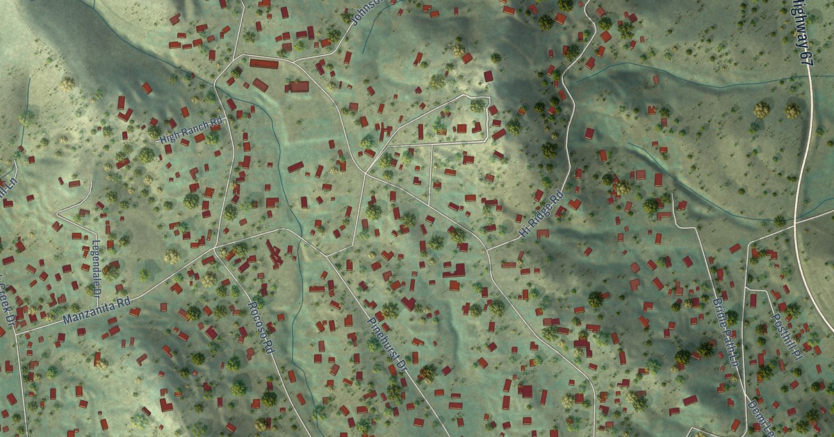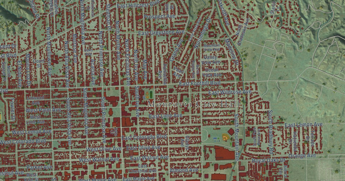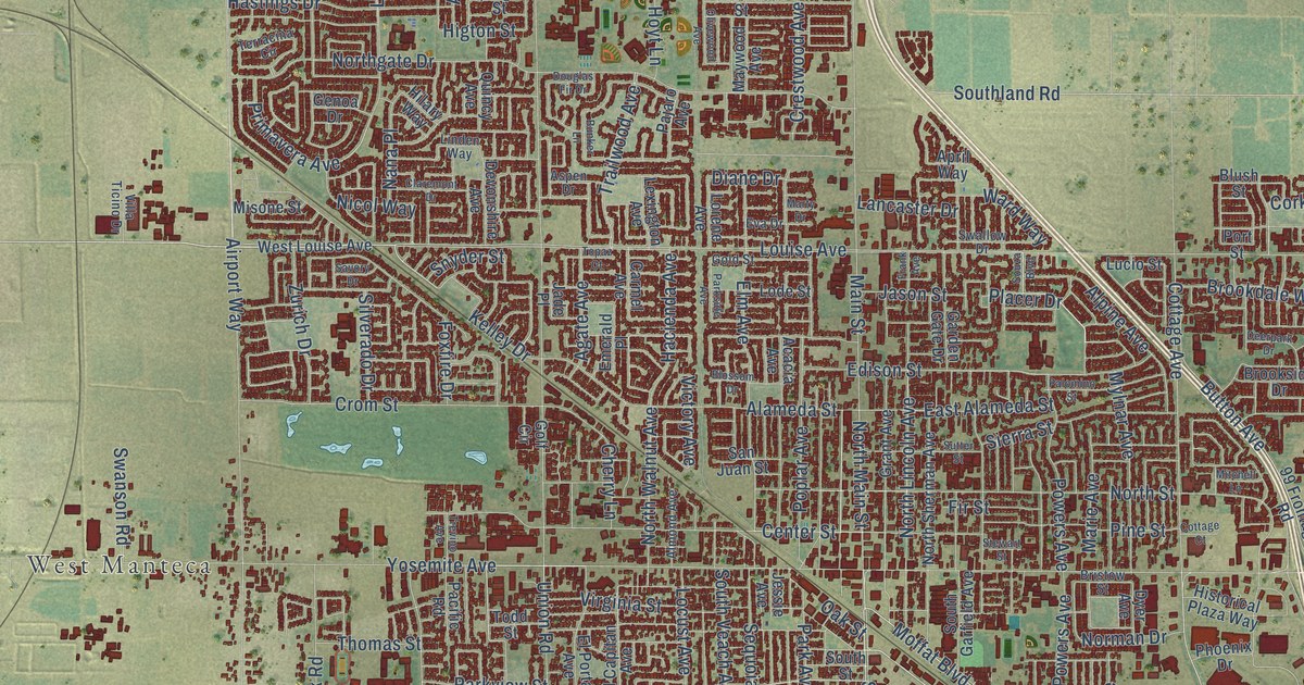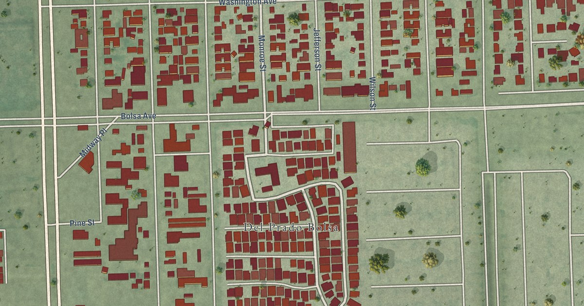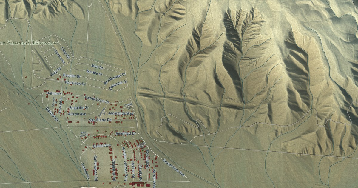
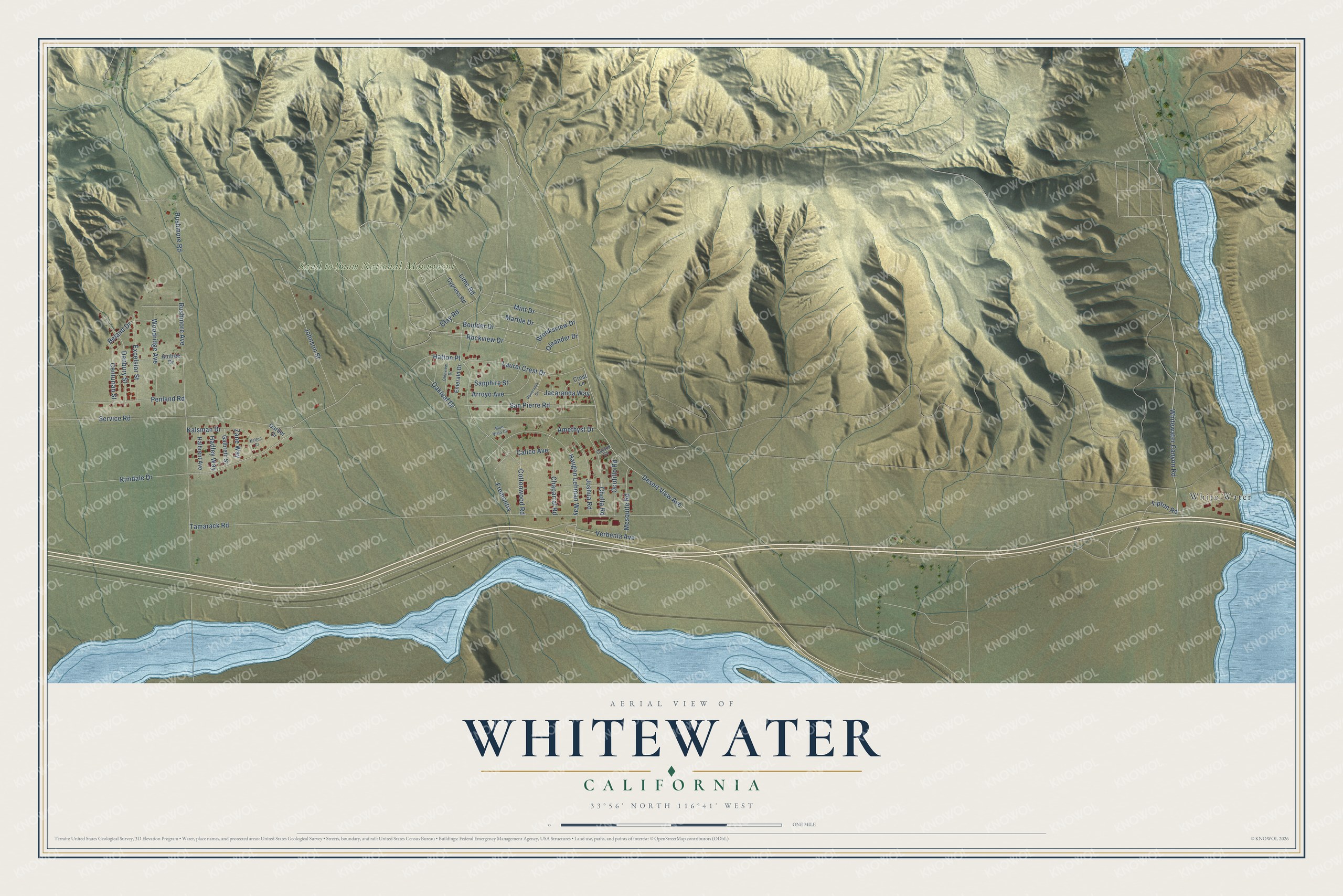
This beautifully detailed map of Whitewater, California was created in 2026 using aerial imagery combined with modern topographical, census, street and landmark data. It's a modern aerial view of Whitewater in Riverside County, California, that combines modern data with a vintage aesthetic. The roads feature printed names, and if you look closely you can find your exact house accurately shown in its correct location.
Explore an aerial view of Whitewater, California
On this map you'll find Sand to Snow National Monument, White Water, Whitewater Canyon Road, Desert View Avenue, Boulder Drive, Verbenia Avenue, Beland Drive, Service Road, Tamarack Road, Kimdale Drive, Rushmore Avenue, Cottonwood Road, and more. Each red shape is a building, so zoom in on the preview and look for yours.
Whitewater is a community in Riverside County. The Census Bureau counted 984 people here in 2020. Whitewater sits about 6 miles east of Cabazon, 8 miles west of Desert Hot Springs and 12 miles southwest of Morongo Valley. The map prints the town name in its title panel, with the coordinates below it.
Take a closer look at the Whitewater map
Names on this map
These names are printed on this map.
Places: Sand to Snow National Monument and White Water.
Streets and roads: Whitewater Canyon Road, Desert View Avenue, Boulder Drive, Verbenia Avenue, Beland Drive, Service Road, Tamarack Road, Kimdale Drive, Rushmore Avenue, Cottonwood Road, Haugen Lehman Way, Johnson Street.
More street names, A to Z
Aintree Drive, Amethyst Drive, Arroyo Avenue, Blue Vista Circle, Brooksview Drive, Cactus Court, Calico Avenue, Centurian Street, Chaparral Road, Cholla Road, Clay Road, Crest Lane, Cypress Road, Danbury Street, Emerald Drive, Excelsior Street, Fremontia, Galbreth Street, Garber Drive, Glenview Drive, Hadley Way, Halbrent Avenue, Hatton Place, Jacaranda Way, Joshua Road, Kalsman Drive, Kelton Court, Laurel Crest Drive, Lime Road, Marble Drive, Mesquite Road, Mint Drive, Oakleaf Drive, Ocotillo Road, Oleander Drive, Panorama Drive, Penland Road, Rockview Drive, Rushmore Road, San Pierre Road, Sapphire Street, Tipton Road, Woodridge Avenue, Zane Way.
See it on a wall
The Whitewater map as a framed print. Swipe for more.


Created by KNOWOL in 2026. The buildings are small red shapes, the roads carry their printed names, and shaded relief shows the shape of the land. The title panel reads "AERIAL VIEW OF WHITEWATER, CALIFORNIA" with 33°56' NORTH 116°41' WEST.
Hang it in the hallway, the office or the cabin, or give it to someone who left Whitewater and still calls it home. Open the preview and look for a street you know. See sizes and frames for the Whitewater map.