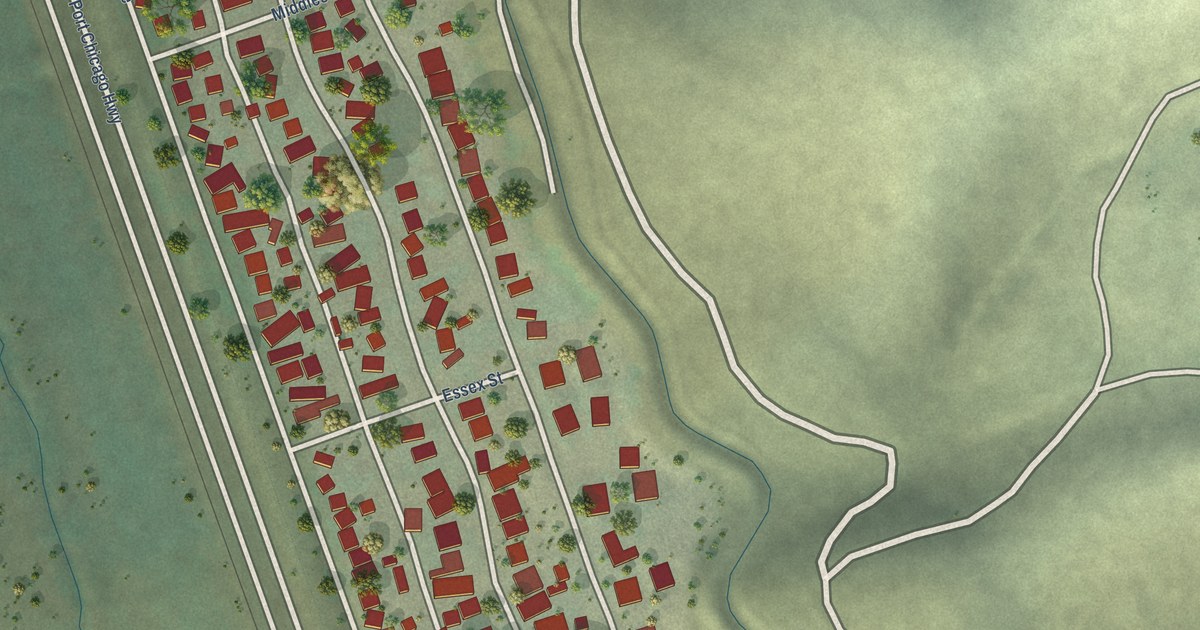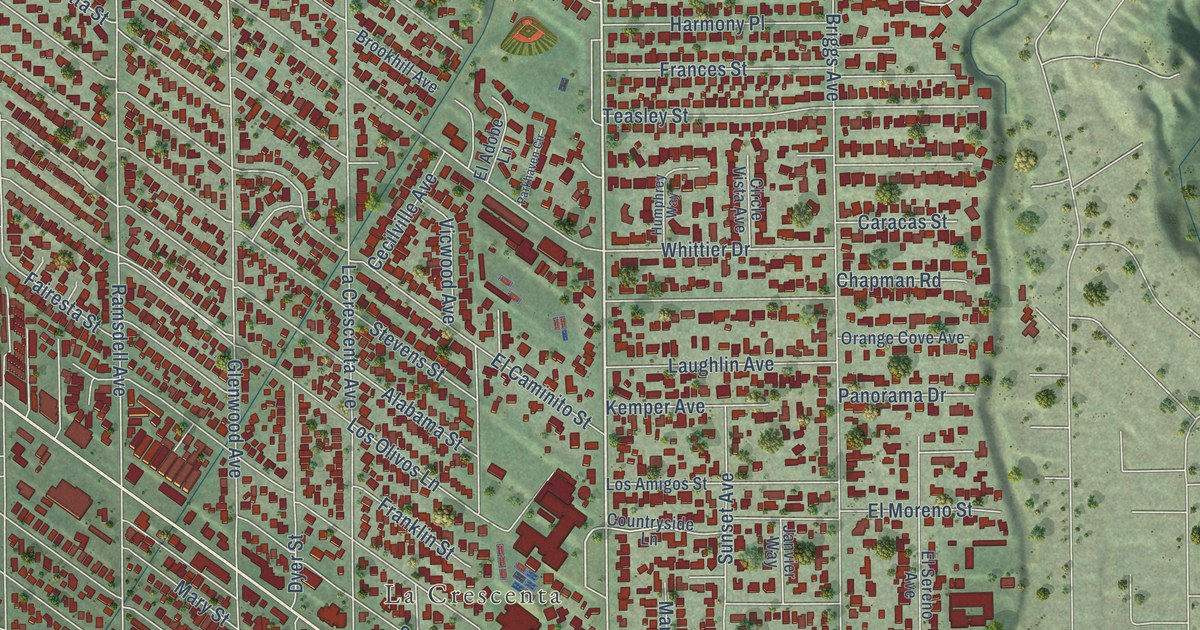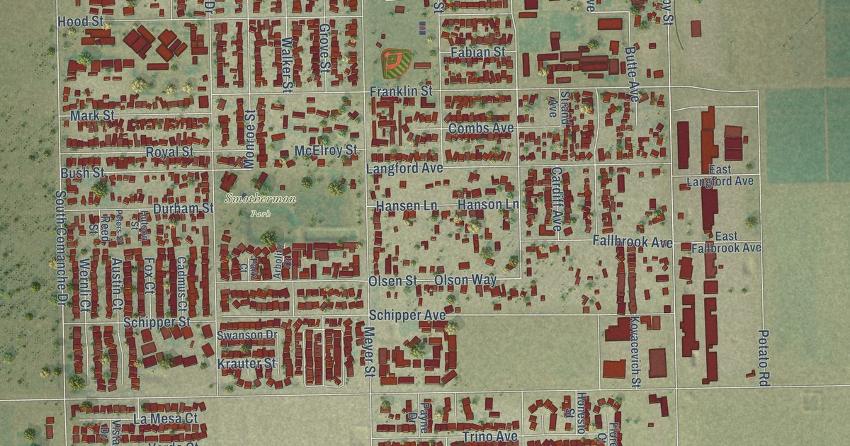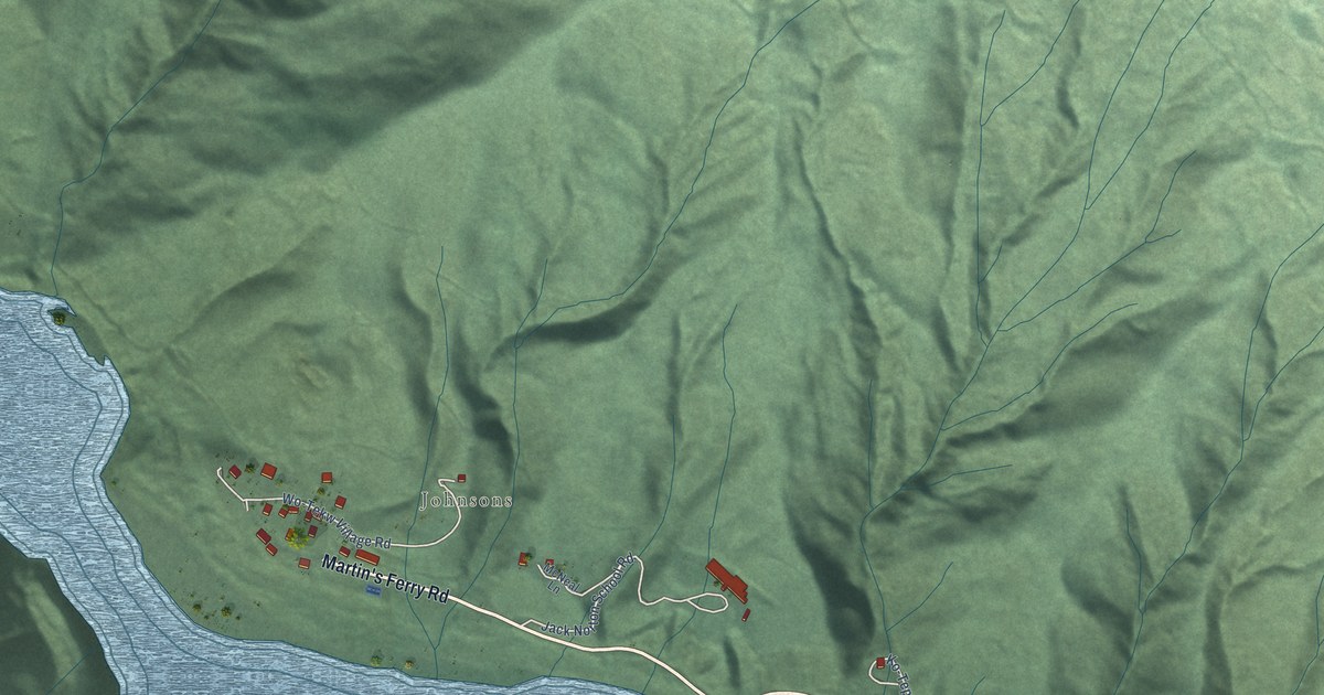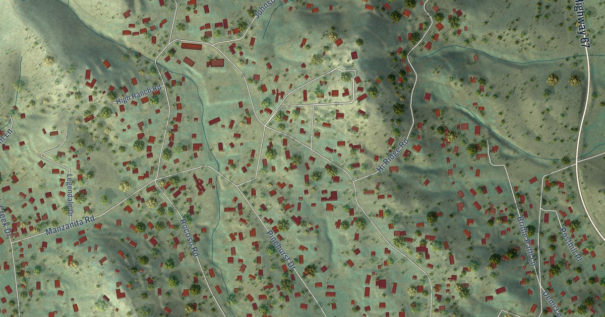
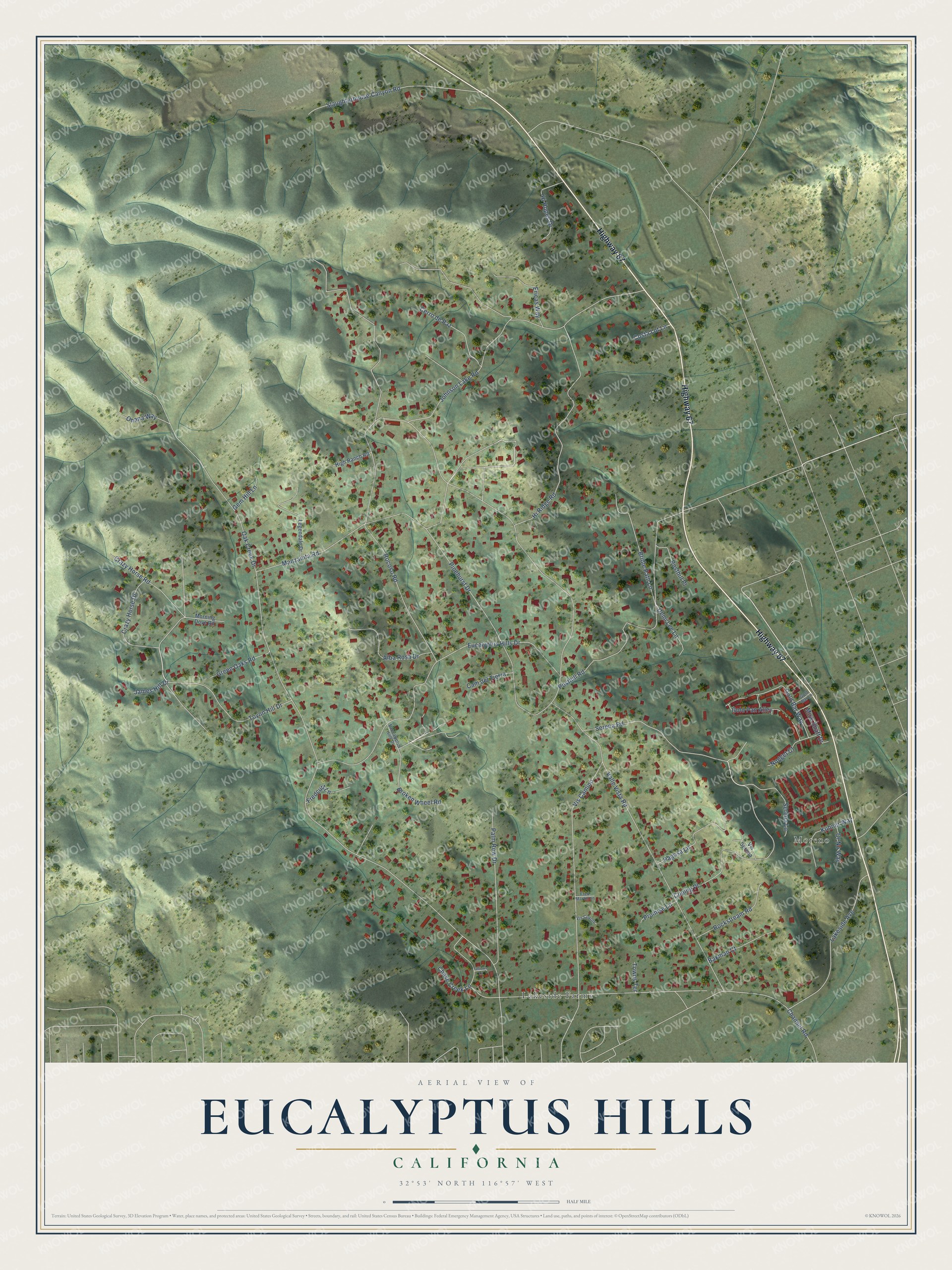
This beautifully detailed map of Eucalyptus Hills, California was created in 2026 using aerial imagery combined with modern topographical, census, street and landmark data. It's a modern aerial view of Eucalyptus Hills in San Diego County, California, that combines modern data with a vintage aesthetic. The roads feature printed names, and if you look closely you can find your exact house accurately shown in its correct location.
Explore an aerial view of Eucalyptus Hills, California
On this map you'll find Moreno, Lakeside Farms, Highway 67, Crazy Horse Drive, Serena Road, Oak Creek Drive, Valle Vista Road, Lakeside Avenue, Rocoso Road, Johnson Lake Road, Eucalyptus Hills Drive, Manzanita Road, and more. Each red shape is a building, so zoom in on the preview and look for yours.
Eucalyptus Hills is a community in San Diego County. The Census Bureau counted 5,517 people here in 2020. Eucalyptus Hills sits about 3 miles northwest of Lakeside, 3 miles northeast of Santee and 3 miles north of Winter Gardens. The map prints the town name in its title panel, with the coordinates below it.
Take a closer look at the Eucalyptus Hills map
Names on this map
These names are printed on this map.
Places: Moreno and Lakeside Farms.
Streets and roads: Highway 67, Crazy Horse Drive, Serena Road, Oak Creek Drive, Valle Vista Road, Lakeside Avenue, Rocoso Road, Johnson Lake Road, Eucalyptus Hills Drive, Manzanita Road, Posthill Road, Pinehurst Drive.
More street names, A to Z
Alba Rosa Drive, Bakman Court, Bridle Path Lane, Broken Wheel Road, Cam del Tierra, Cerro de Paz, Channel Road, Chase Creek Lane, Coping Place, Costa Lot Lane, Crazy Horse Road, Demi Lee Lane, Eaucalyptus Hills Drive, Ericas Way, Fellows Lane, Fredcurt Lane, Fred Martin Lane, Gem Hill Lane, Gold Bar Lane, Gold Bar Way, Gold Pan Alley, Green Oaks Road, High Ranch Road, Hi Hopes Drive, Hi Ridge Road, James Hill Drive, Kuhner Way, Legendale Drive, Mine Shaft Drive, Morning Dove Road, Nugget Court, Ohana Way, Or No Way, Pagosa Lane, Palm Row Drive, Posthill Place, Promise Lane, Rockstream Road, Serena Lane, Slaughterhouse Canyon Road, Towns Terrace, Toyon Hill Drive, Vis Camino, Vis Coyote, Vis Serena.
See it on a wall
The Eucalyptus Hills map as a framed print. Swipe for more.


Created by KNOWOL in 2026. The buildings are small red shapes, the roads carry their printed names, and shaded relief shows the shape of the land. The title panel reads "AERIAL VIEW OF EUCALYPTUS HILLS, CALIFORNIA" with 32°53' NORTH 116°57' WEST.
It looks right in a kitchen, an office or a den, and it's a gift for anyone who grew up in Eucalyptus Hills or moved away. Open the preview and find your street. See sizes and frames for the Eucalyptus Hills map.