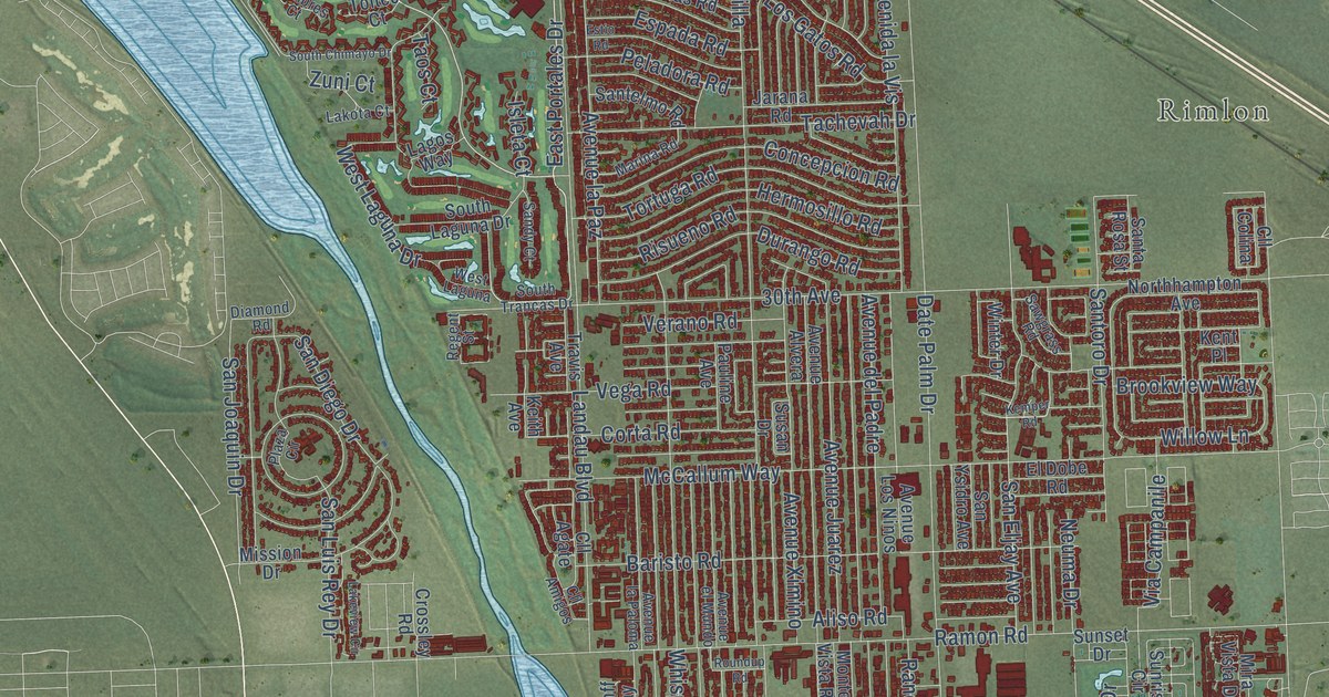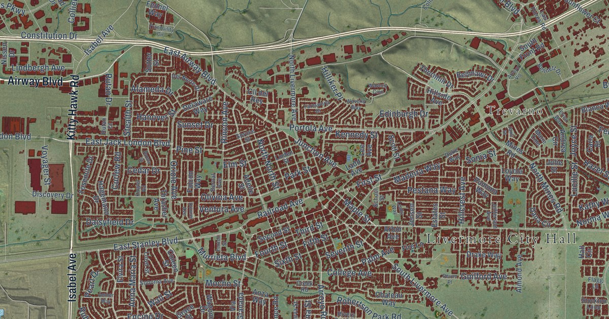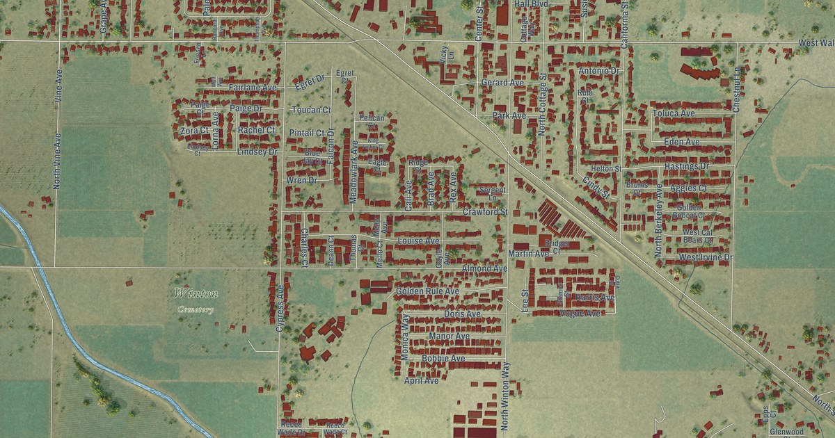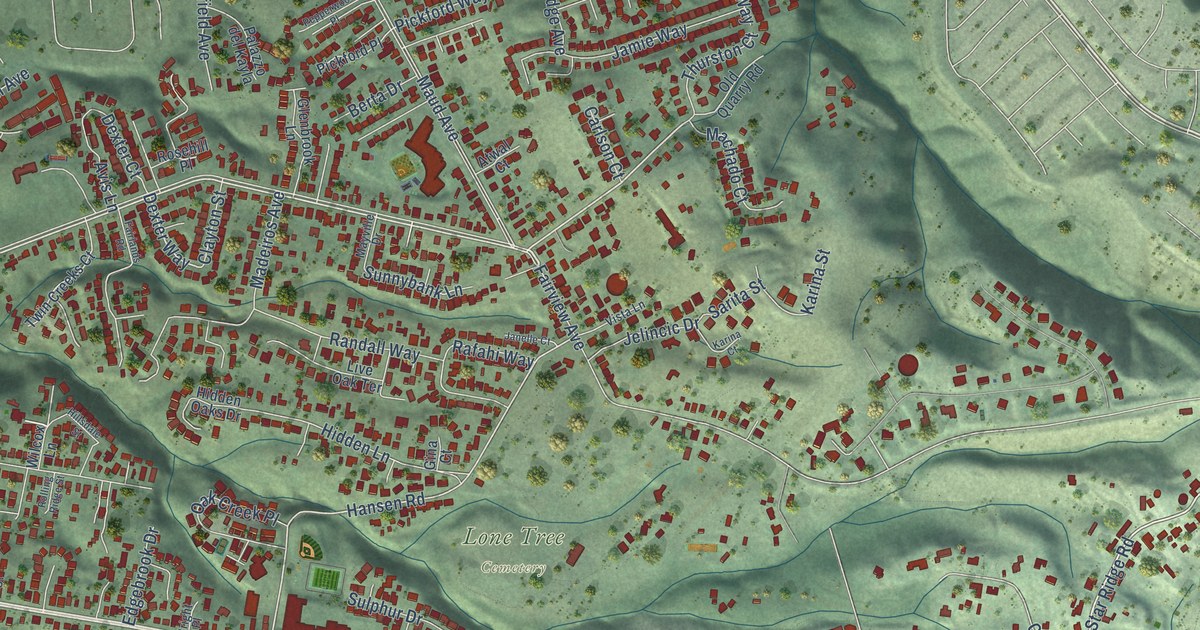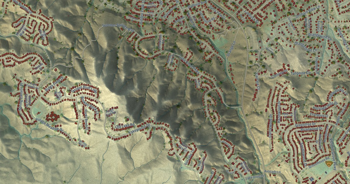
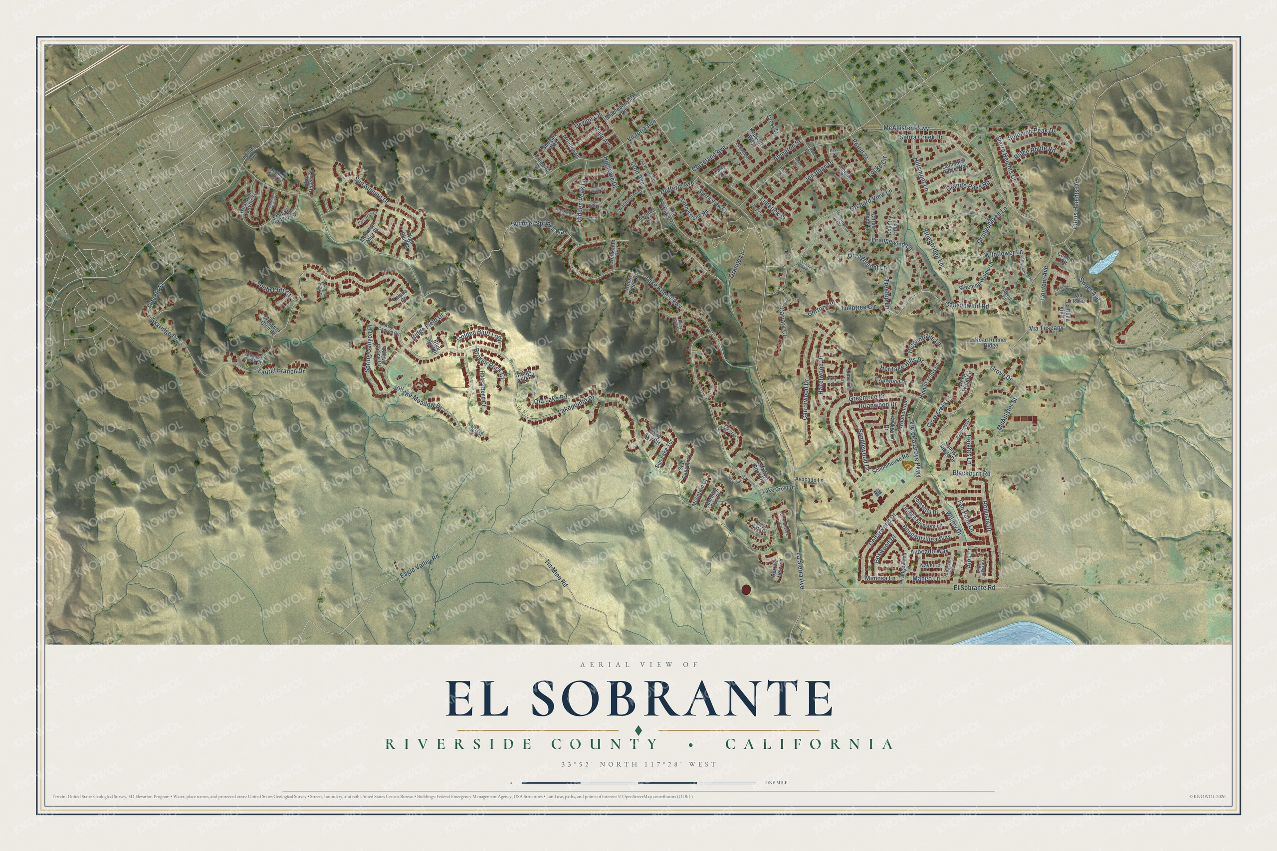
This beautifully detailed map of El Sobrante, Riverside County, California was created in 2026 using aerial imagery combined with modern topographical, census, street and landmark data. It's a modern aerial view of El Sobrante, Riverside County in Riverside County, California, that combines modern data with a vintage aesthetic. The roads feature printed names, and if you look closely you can find your exact house accurately shown in its correct location.
Explore an aerial view of El Sobrante, Riverside County, California
On this map you'll find Via Tuscany, Willow Drive, Treetop Lane, Lincoln Street, Lakepointe Drive, La Sierra Avenue, McAllister Street, Skyridge Drive, McAllister Parkway, Lake Knoll Parkway, El Sobrante Road, Village Meadow Drive, and more. Each red shape is a building, so zoom in on the preview and look for yours.
El Sobrante, Riverside County is a community in Riverside County. The Census Bureau counted 14,039 people here in 2020. The map prints the town name in its title panel, with the coordinates below it.
Take a closer look at the El Sobrante, Riverside County map
Names on this map
These names are printed on this map.
Streets and roads: Via Tuscany, Willow Drive, Treetop Lane, Lincoln Street, Lakepointe Drive, La Sierra Avenue, McAllister Street, Skyridge Drive, McAllister Parkway, Lake Knoll Parkway, El Sobrante Road, Village Meadow Drive.
More street names, A to Z
Abington Street, Alderidge Court, Aloe Lane, Angel Canyon Circle, Avocado Lane, Avocado Way, Blackburn Road, Blossom Time Court, Blue Bird Place, Blue Haven Court, Blue Ridge Court, Bluff Vista Court, Bougainvillea Way, Boxwood Drive, Brianwood Drive, Brightridge Lane, Broken Rock Court, Canyonwind Road, Carly Court, Carrara Court, Carrotwood Drive, Cathedral Ridge Way, Cedarwood Drive, Citrus Glen Circle, Citrus Heights Drive, Citrus Wood Lane, Cleveland Avenue, Cold Spring Circle, Contour Avenue, Cordial Circle, Cornerstone Road, Cortona Place, Country Hills Lane, Creekside Road, Crescent Glen Court, Crestpeak Court, Cross Creek Lane, Cross Street, Deep Wood Lane, Devine Circle, Devor Circle, Dufferin Avenue, Eagle Valley Road, East Peak Court, East Sun Canyon Street, Estates Court, Evanwood Court, Fan Palm Lane, Farm Belle Boulevard, Fillmore Street, Glendon Creek Court, Golden Bluff Loop, Granite Pass Road, Greentree Drive, Greenwood Circle, Grove Drive, Haven Circle, Hawkwood Drive, Hazelwood Drive, Heights Lane, Heritage Hills Drive, Hidden Peak Lane, Hiddentrails Lane, Hidden Trails Lane, High Bluff Court, Highgate Drive, Hillsmont Lane, Indiana Avenue, Jonathan Drive, Jordana Circle, Keusder Way, La Bella Villa, Lake Crest Drive, Lassalette Court, Laurel Branch Drive, Leiana Court, Limerick Street, Limetree Lane, Locke Circle, Lyon Avenue, Mango Lane, Meadow Rock Drive, Middleborough Road, Mimosa Lane, Montauk Circle, Morning Mist Court, Morning Sun Court, Moulton Drive, Mountain Court, Mountain Mist Street, Navel Court, Noble View Circle, Old Heritage Road, Old Lake Road, Old Windmill Court, Orange Blossom Lane, Orangehaven Lane, Orange Lane, Orangemont Lane, Orangewind Lane, Orangewood Lane, Orchard View Lane, Ory Circle, Park Vista Court, Perrin Circle, Pinnacle Peak Court, Poinsetta Drive, Praed Street, Rainy Vale Avenue, Ridge Cliff Road, Ridge Field Drive, Ridge Route Road, Road Runner Ridge, Robusta Drive, Rocky Bend Court, Rocky Creek Drive, Rosy Sky Circle, Ruby Lane, Sandlewood Drive, Schoolhouse Road, Setting Sun Circle, Shugart Way, Sierra Creek Drive, Sierra Heights Drive, Sierra View Court, Solomon Peak Drive, South Cliff Court, Spring Canyon Place, Spring View Lane, Star Canyon Court, Streamside Lane, Summer Springs Way, Sun Lake Terrace, Sunrise Ridge Drive, Sun Summit Drive, Sweet Avenue, Tangerine Way, Tarragon Way, Tiger Lilly Way, Tin Mine Road, Tuliptree Circle, Valley Spring Drive, Via Rosa, Victoria Avenue, Victoria Grove Parkway, Waite Avenue, Warmington Street, Weeping Willow Drive, West Sun Canyon Street, Wildflower Lane, Windham Road, Woodentree Lane.
Created by KNOWOL in 2026. The buildings are small red shapes, the roads carry their printed names, and shaded relief shows the shape of the land. The title panel reads "AERIAL VIEW OF EL SOBRANTE RIVERSIDE COUNTY • CALIFORNIA" with 33°52' NORTH 117°28' WEST.
It suits a den, a classroom or a front hall, and it makes a gift for anyone with El Sobrante, Riverside County roots. Open the preview and find the block you know. See sizes and frames for the El Sobrante, Riverside County map.