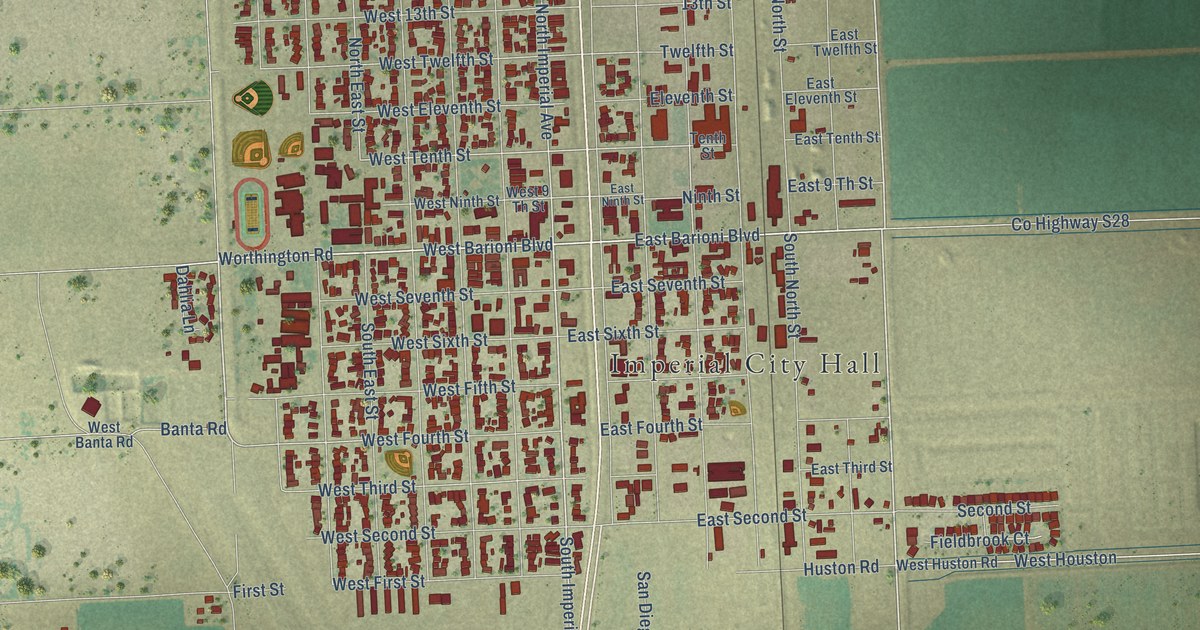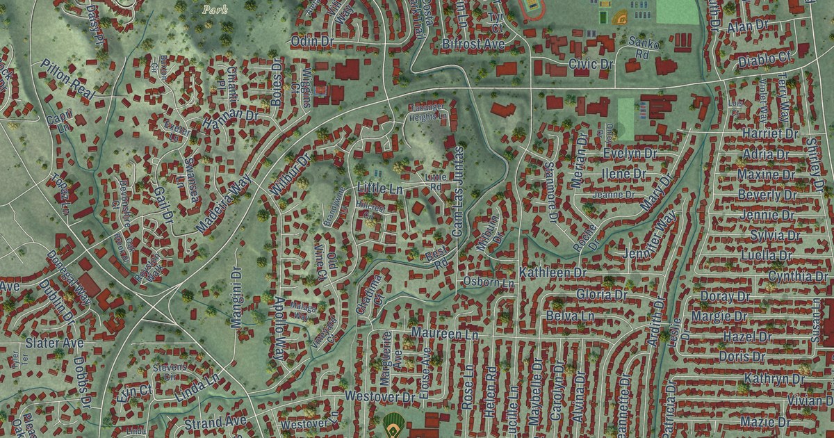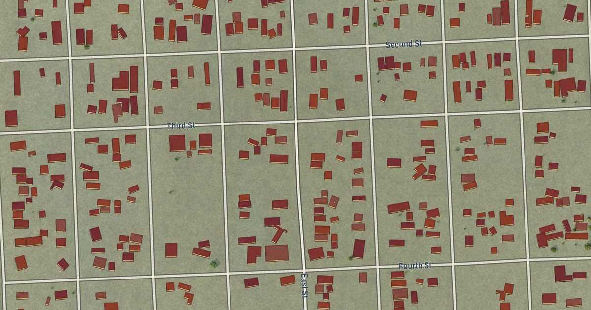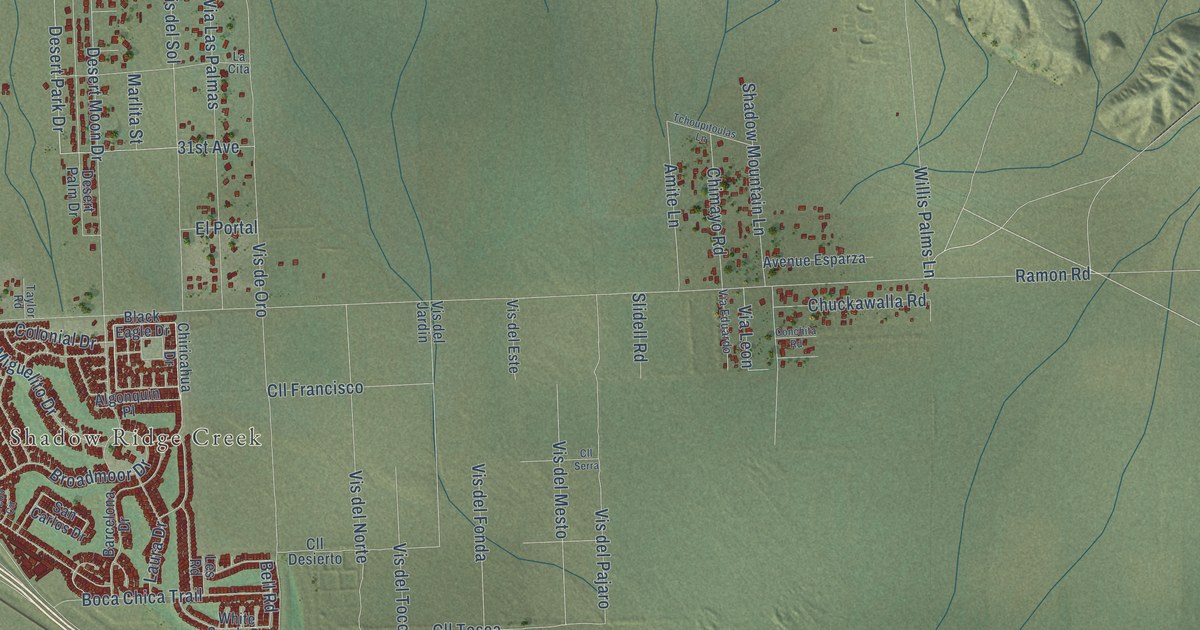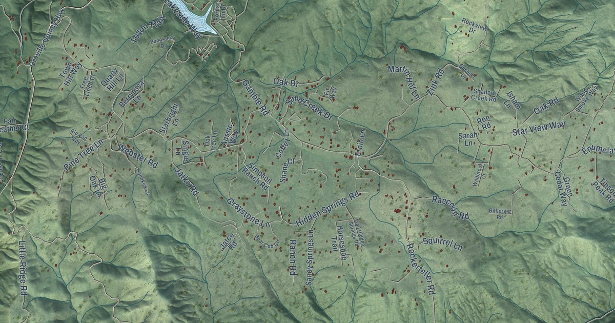
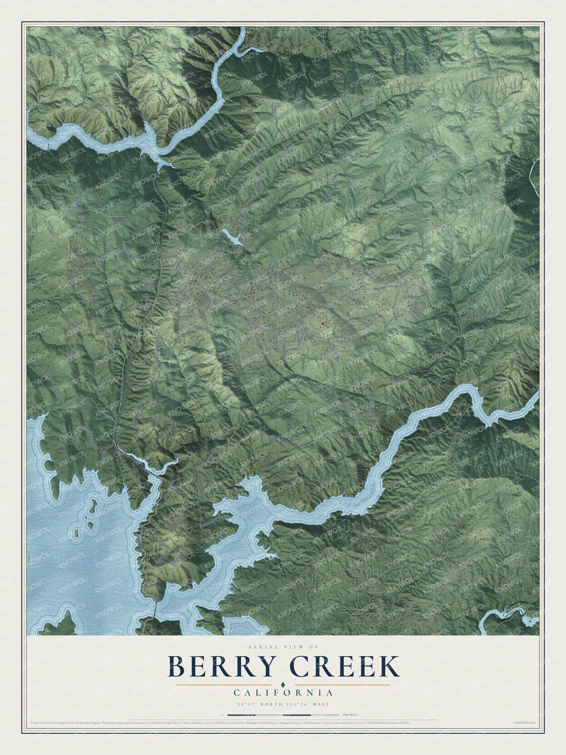
This beautifully detailed map of Berry Creek, California was created in 2026 using aerial imagery combined with modern topographical, census, street and landmark data. It's a modern aerial view of Berry Creek in Butte County, California, that combines modern data with a vintage aesthetic. The roads feature printed names, and if you look closely you can find your exact house accurately shown in its correct location.
Explore an aerial view of Berry Creek, California
On this map you'll find Olive Highway, Oroville Quincy Highway, Big Ridge Road, Bloomer Hill Road, Oro Quincy Highway, Rockerfeller Road, Bald Rock Road, Galen Ridge Road, He Le Ve Road, Bean Creek Road, Straw Road, Simmons Road, and more. Each red shape is a building, so zoom in on the preview and look for yours.
Berry Creek has a story worth telling. On September 8, 2020, high winds pushed the North Complex fire, first called the Bear Fire, out of Plumas County and through Berry Creek and Feather Falls. It ran more than 100,000 acres in a day, killed 16 people and destroyed more than 1,200 structures, and 33 of the 35 families at Berry Creek Elementary lost their homes. Within six months families began coming back to clear their land, living in trailers and RVs while they rebuilt. For some the choice to move back was hard, even though they could not imagine living anywhere else. That's from the North State Public Radio newsroom.
Berry Creek is a community in Butte County. The Census Bureau counted 1,637 people here in 2020.
Take a closer look at the Berry Creek map
Names on this map
These names are printed on this map.
Streets and roads: Olive Highway, Oroville Quincy Highway, Big Ridge Road, Bloomer Hill Road, Oro Quincy Highway, Rockerfeller Road, Bald Rock Road, Galen Ridge Road, He Le Ve Road, Bean Creek Road, Straw Road, Simmons Road.
More street names, A to Z
Aird Circle, Aussie Way, Azalea Lane, Bear Cub Circle, Bell Ranch Road, Berry Creek Road, Berryessa Lane, Big Oak Lane, Black Bear Road, Bobcat Saddle, Bonnie Meadow Lane, Braland Place, Breckenridge Court, Buchner Drive, Catalpa Lane, Cherokee Lane, Coffey Lane, Deer Meadow Road, Dove Court, Edan Canyon Road, Encina Grande Road, Enumclaw Road, Ernie Lane, Fair Weather Court, Fir Way, Foreman Creek Road, Forest Inn Drive, Gamble Road, Graystone Lane, Green Cedar Way, Handkirk Lane, Harrison Springs Road, Hidden Springs Road, Horseshoe Trail, Indian Cemetery Road, Isham Lane, Jatco Road, Jatko Road, Lacey Lane, Lake Madrone Road, Lakeside Way, Lakeview Loop Road, La Sata Lane, Laysier Place, Little Ridge Road, Lonesome Dove Circle, Martin Hill Lane, Mayberry Road, Middlefork Lane, Mirage Lake Road, Northfork Road, Oak Drive, Oak Road, Oak Tree Lane, Panorama Drive, Pine Tree Lane, Ponderosa Way, Pritchett Drive, Quartz Hill Lane, Raccoon Road, Ranch Road, Ratchel Mountain Drive, Rennels Drive, Rip Van Way, Ritberger Road, Rockview Drive, Ron Road, Ruiz Road, Sand Creek Drive, Sandy Springs Lane, Sarah Lane, Schroder Drive, Schwing Loop, Seminole Drive, Shadow Creek Road, Shane Court, Simpson Ranch Road, Single Lane, Spence Way, Squirrel Lane, Starbright Lane, Star Road, Star View Way, Stephens Ridge Road, Stone Road, Sunday Drive, Sycamore Creek Drive, Tipsoo Peak Road, Town Hill Way, Toyon Trail, Trail Hidden Springs Road, Tree Lined Court, Wagon Wheel Way, Webster Road, Wildbrook Court, Wood Smoke Way, Zink Road.
See it on a wall
The Berry Creek map as a framed print. Swipe for more.


Created by KNOWOL in 2026. The buildings are small red shapes, the roads carry their printed names, and shaded relief shows the shape of the land. The title panel reads "AERIAL VIEW OF BERRY CREEK, CALIFORNIA" with 39°37' NORTH 121°24' WEST.
It looks right in a kitchen, an office or a den, and it's a gift for anyone who grew up in Berry Creek or moved away. Open the preview and find your street. See sizes and frames for the Berry Creek map.