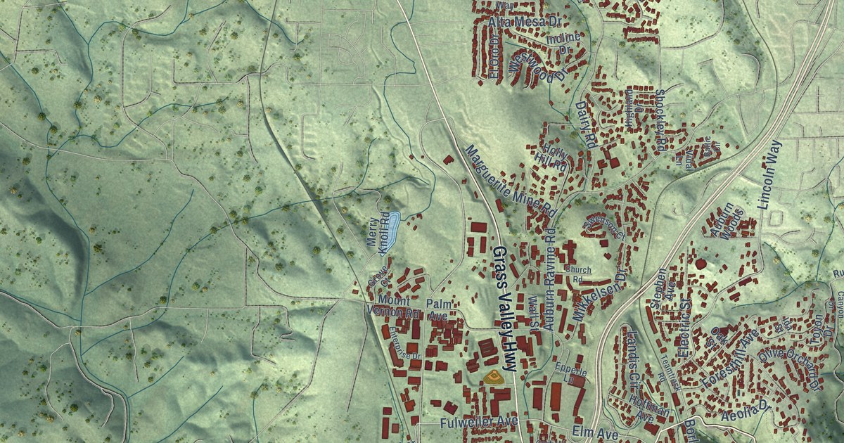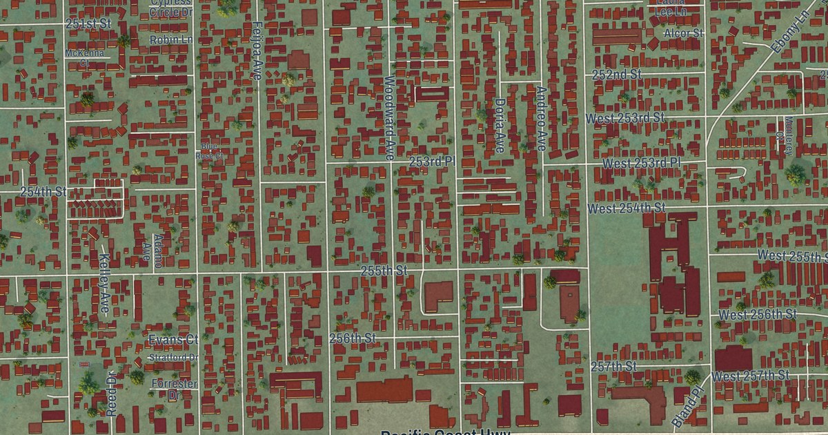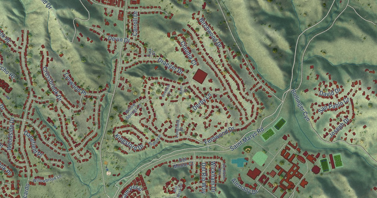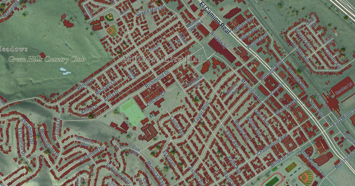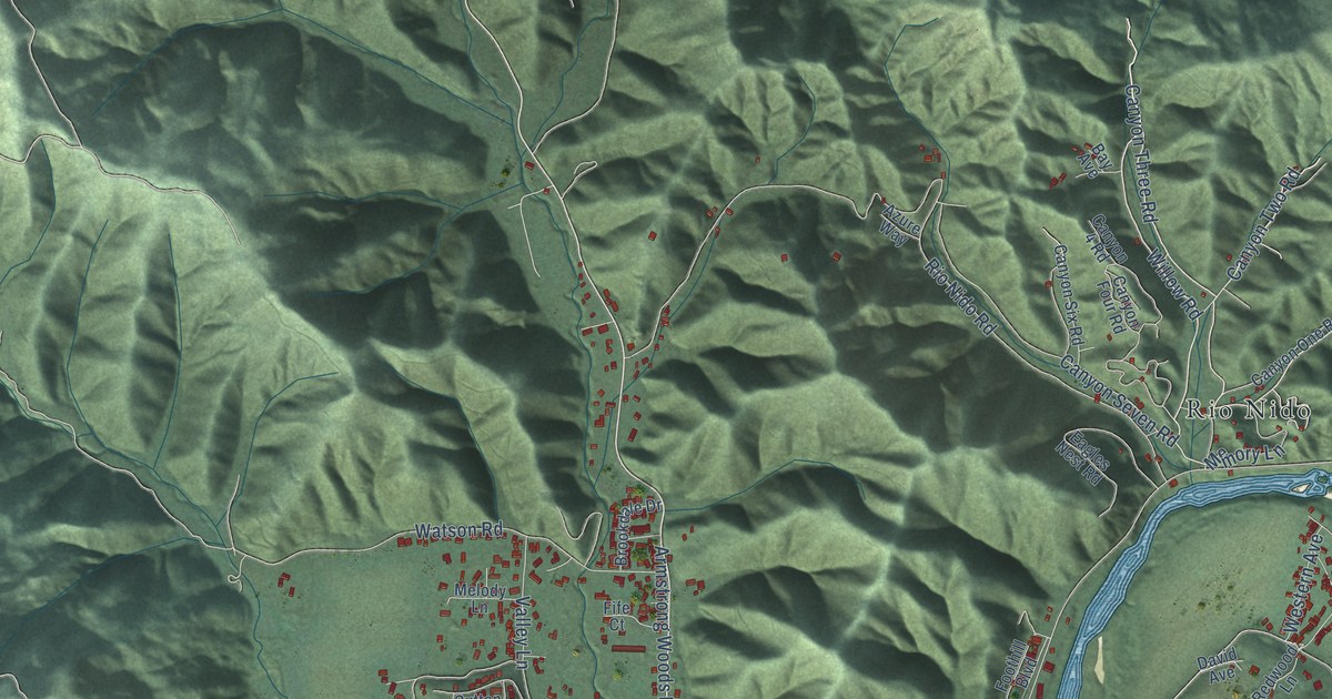
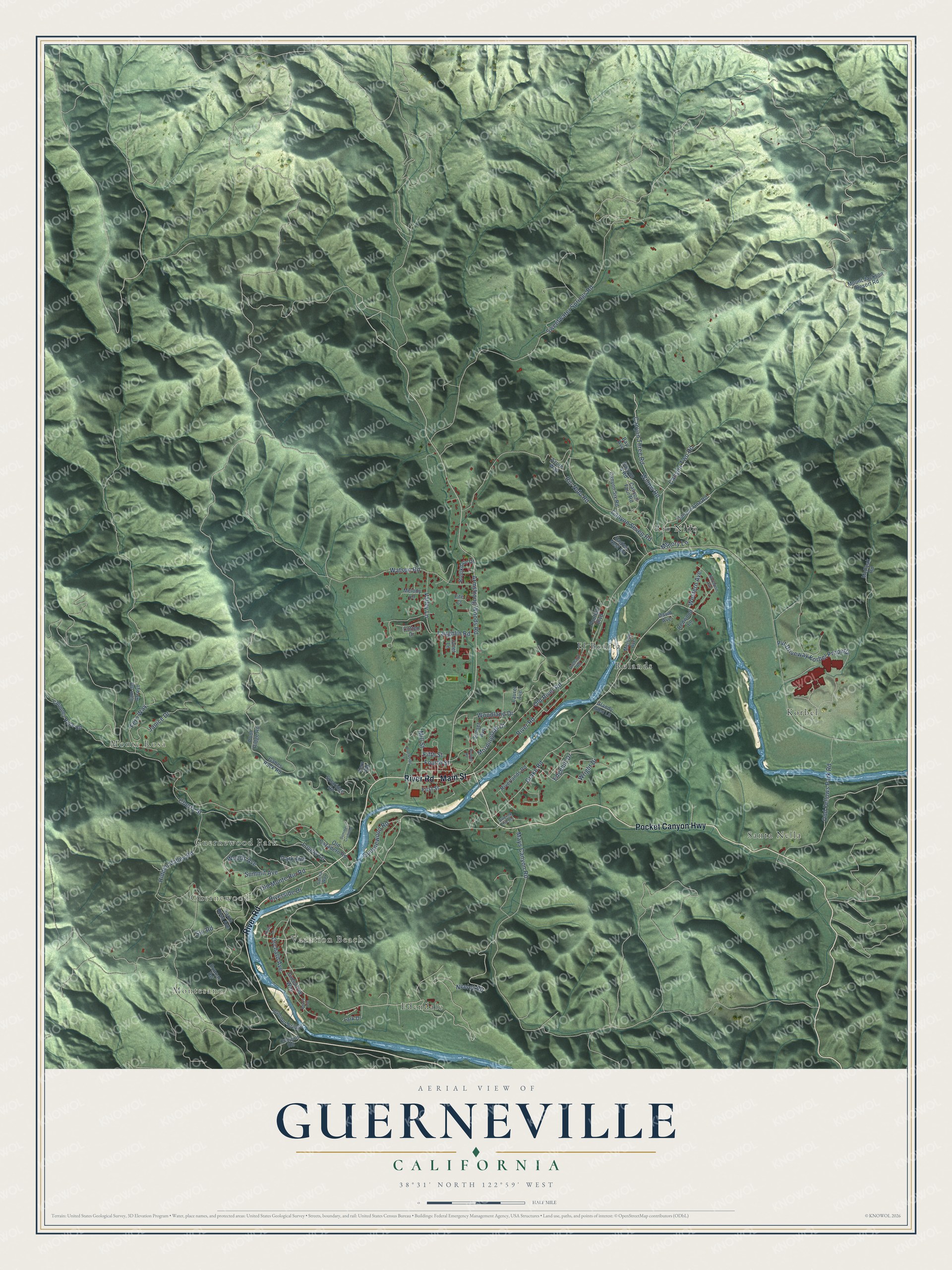
This beautifully detailed map of Guerneville, California was created in 2026 using aerial imagery combined with modern topographical, census, street and landmark data. It's a modern aerial view of Guerneville in Sonoma County, California, that combines modern data with a vintage aesthetic. The roads feature printed names, and if you look closely you can find your exact house accurately shown in its correct location.
Explore an aerial view of Guerneville, California
On this map you'll find Montesano, Monte Rosa, Vacation Beach, Guernewood, Edendale, El Bonita, Guernewood Park, Korbel, Rio Nido, Rolands, Santa Nella, River Road, and more. Each red shape is a building, so zoom in on the preview and look for yours.
Guerneville has a story worth telling. The National Register of Historic Places puts it this way: "This road is the major route be
tween the San Francisco Bay area and the Russian River resorts area, and it crosses the
river only once, at Guerneville."
Guerneville is a community in Sonoma County. The Census Bureau counted 4,552 people here in 2020.
Take a closer look at the Guerneville map
Names on this map
These names are printed on this map.
Places: Montesano, Monte Rosa, Vacation Beach, Guernewood, Edendale, El Bonita, Guernewood Park, Korbel, Rio Nido, Rolands and Santa Nella.
Streets and roads: River Road, Pocket Canyon Highway, Main Street, Canyon Two Road, Canyon Three Road, Armstrong Woods Road, Willow Road, Neeley Road, Drake Road, Sweetwater Springs Road, Pvt Driveway Korbel Property, Fern Way.
More street names, A to Z
Azure Way, Bay Avenue, Beach Avenue, Brookdale Drive, Brookside Lane, Buttner Road, Cam del Arroyo, Canyon 4 Road, Canyon Four Road, Canyon One Road, Canyon Seven Road, Canyon Six Road, Cherry Street, Chimney Rock Road, Cnopius Road, Cutten Drive, David Avenue, Duncan Road, Eagles Nest Road, Edgehill Drive, Fern Road, Fife Court, Fifth Street, First Street, Foothill Boulevard, Fourth Street, Gabes Rock Road, Glandy Glen Lane, Greentree Way, Guerne Hill Road, Guernewood Road, Hidden Valley Road, Janet Lane, Janice Drive, Lark Drive, Laughlin Road, Laurel Avenue, Lovers Lane, Mays Canyon Road, McPeak Road, Melody Avenue, Melody Lane, Memory Lane, Mill Street, Morningside Drive, Mount Jackson Resort Road, Northern Avenue, Odd Fellows Park Road, Old Cazadero Road, Old Monte Rio Road, Old River Road, Orchard Avenue, Orchard Road, Park Avenue, Pool Ridge Road, Redwood Lane, Rio Nido Road, Riverlands Road, River Lane, Riverside Drive, Santa Rosa Avenue, Siri Road, Solaridge Road, Sosna Way, Summer Bridge, Summer Crossing, Summit Avenue, Sunset Avenue, Valley Lane, Watson Road, Western Avenue, Woodland Drive, Woods Avenue, Wright Drive.
Created by KNOWOL in 2026. The buildings are small red shapes, the roads carry their printed names, and shaded relief shows the shape of the land. The title panel reads "AERIAL VIEW OF GUERNEVILLE CALIFORNIA" with 38°31' NORTH 122°59' WEST.
It looks right in a kitchen, an office or a den, and it's a gift for anyone who grew up in Guerneville or moved away. Open the preview and find your street. See sizes and frames for the Guerneville map.