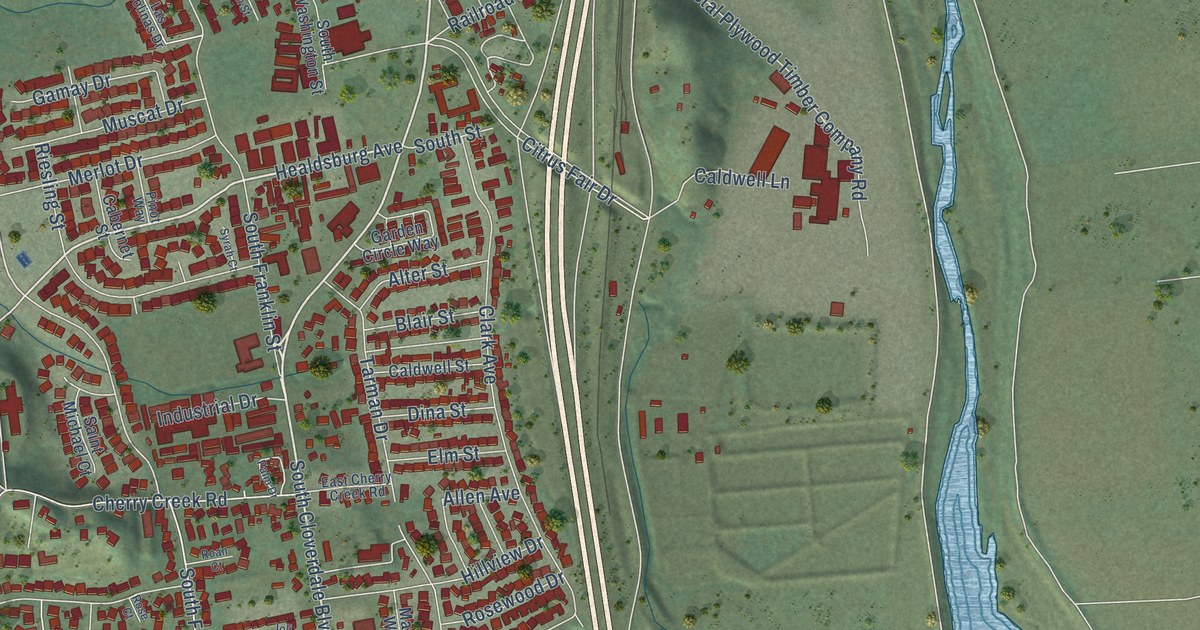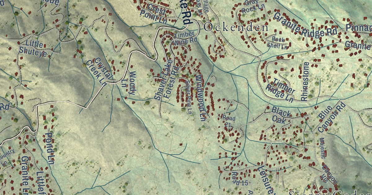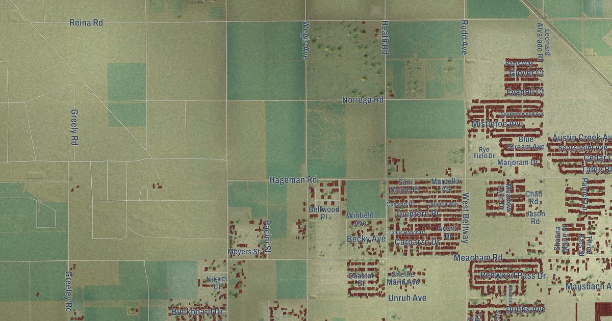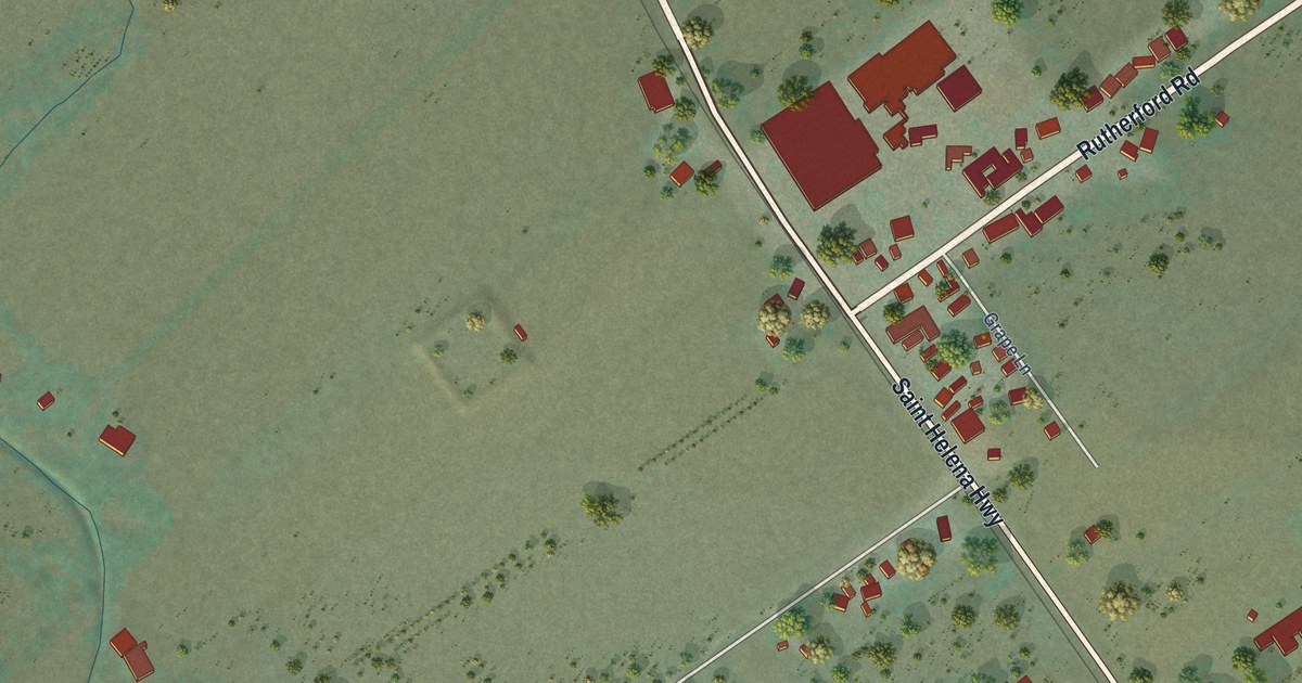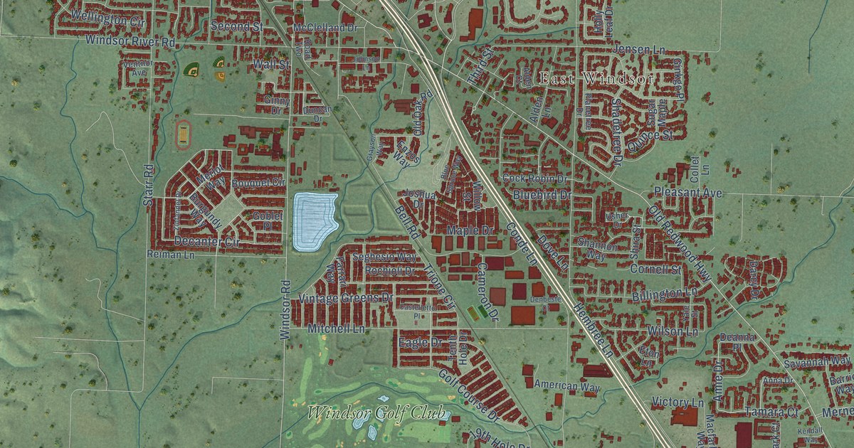
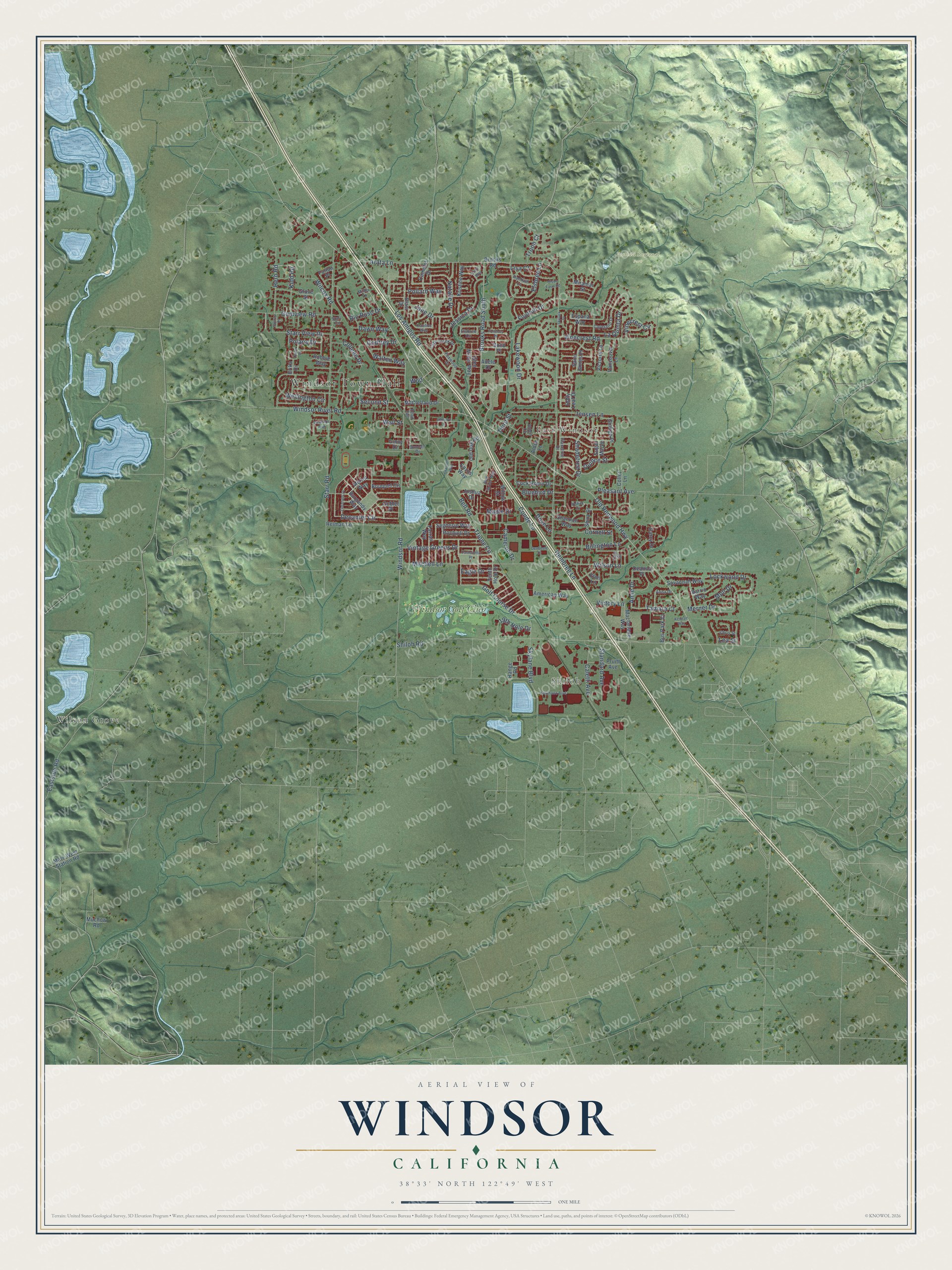
This beautifully detailed map of Windsor, California was created in 2026 using aerial imagery combined with modern topographical, census, street and landmark data. It’s a one-of-a-kind view of Windsor that combines accurate data with a vintage aesthetic. The map shows every building in its true location, many of the roads carry their names, and the shaded topographic relief shows the shape of the land.
Explore an aerial view of Windsor, California
On the map you’ll find Windsor Town Hall, Shiloh, East Windsor, Foothill Regional Park, Wilson Grove, Windsor Golf Club, and Wpd, along with Old Redwood Highway, Los Amigos Road, Brooks Road South, Maple Drive, Amie Drive, and more. If you look closely you can even find your house accurately drawn in its correct location. Zoom in on the preview to look for yours.
Did you know this piece of Windsor, California history?
From the National Register of Historic Places: "By 1898, the commitment to West Windsor was nearly complete, as a new Methodist Episcopal church was built and the church rectory was moved from Old Town to Main Street (later Windsor River Road), just east of the railroad."
Take a closer look at the Windsor map
Street and place names on the Windsor, California map
These names are printed on the map of Windsor, California.
Places: Windsor Town Hall, Shiloh, East Windsor, Foothill Regional Park, Wilson Grove and Windsor Golf Club.
Streets and roads: Old Redwood Highway, Los Amigos Road, Brooks Road South, Wpd, Maple Drive, Amie Drive, Windsor Road, Lakewood Drive, La Quinta Drive, Hembree Lane, Shiloh Road, Starr Road.
More street names, A to Z
19th Hole Drive, Adele Drive, Alden Court, Alden Lane, American Way, Anna Drive, Arata Lane, Barrio Way, Bell Road, Billington Lane, Blasi Drive, Bluebird Drive, Blue Spruce Way, Bond Place, Bouquet Circle, Brooks Road, Burgundy Way, Bus Park Court, Caletti Avenue, Camelot Drive, Cameron Drive, Castelletto Place, Cayetano Drive, Chris Street, Claudius Way, Cock Robin Drive, Colleen Drive, Collet Lane, Conde Lane, Cornell Street, Darcy Drive, Dawn Way, Deanna Place, Decanter Circle, Denbeste Court, Dove Lane, Duncan Drive, Eagle Drive, Eastside Road, Elsbree Circle, Elsbree Lane, Enzos Way, Erika Drive, Espana Way, Eton Lane, Farrari Way, Foothill Drive, Foxwood Drive, Fulton Place, Ginkgo Place, Ginny Drive, Glen Miller Way, Goblet Place, Godfrey Drive, Golf Course Drive, Grayson Way, Grove Street, Gumview Road, Herb Road, Holly Leaf Drive, Jane Drive, Jensen Lane, Jessica Drive, Johnson Lane, Joshua Drive, Jutta Way, Kendall Way, Kidd Road, Kittyhawk Boulevard, Kristine Way, Lazy Creek Drive, Lea Street, Lisa Court, Lockwood Drive, Macfarlane Way, Mark West Station Road, McClelland Drive, Merlot Way, Merner Drive, Miller Lane, Miramar Street, Mitchell Lane, Moll Drive, Muchow Road, Natalie Drive, Old Oak Road, Olson Farm Road, Orion Drive, Planetree Drive, Pleasant Avenue, Polaris Drive, Pollard Way, Pruitt Avenue, Pulteney Place, Quince Street, Rachael Lane, Range Road, Reiman Lane, Rio Ruso Drive, Road Two, Robbie Way, Rochioli Drive, Saint James Place, Savannah Way, Second Street, Seghesio Way, Shadetree Drive, Shannon Way, Shira Street, Skylane Boulevard, Skylark Street, Standard Avenue, Starr Circle, Starr View Drive, Sugar Maple, Sunray Place, Tamara Court, Tenth Hole Drive, Third Street, Trione Circle, Troon Court, Usher Drive, Vancouver Lane, Ventnor Avenue, Victoria Lane, Victory Lane, Vinecrest Circle, Vinecrest Road, Vintage Greens Drive, Wall Street, Walten Way, Wellington Circle, Wilcox Road, Willow Street, Wilson Lane, Windsor River Road, Yale Street, Zinfandel Drive.
See the Windsor, California map on a wall
The Windsor map as an 18 x 24 inch print in a black frame.

This beautifully detailed map of Windsor makes an attractive addition to your office, library, or den, and it can even be used to teach children the geography and history of the area. It also makes a great gift for anyone who grew up in Windsor or moved away. When you’re done exploring, click here to get your copy of the Windsor map.