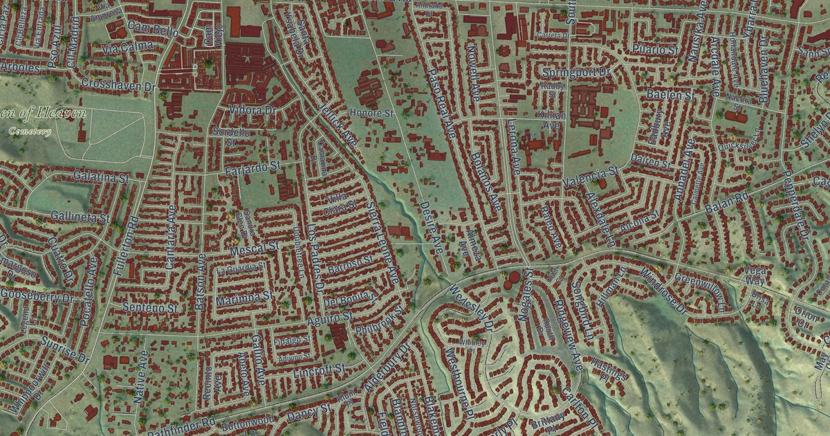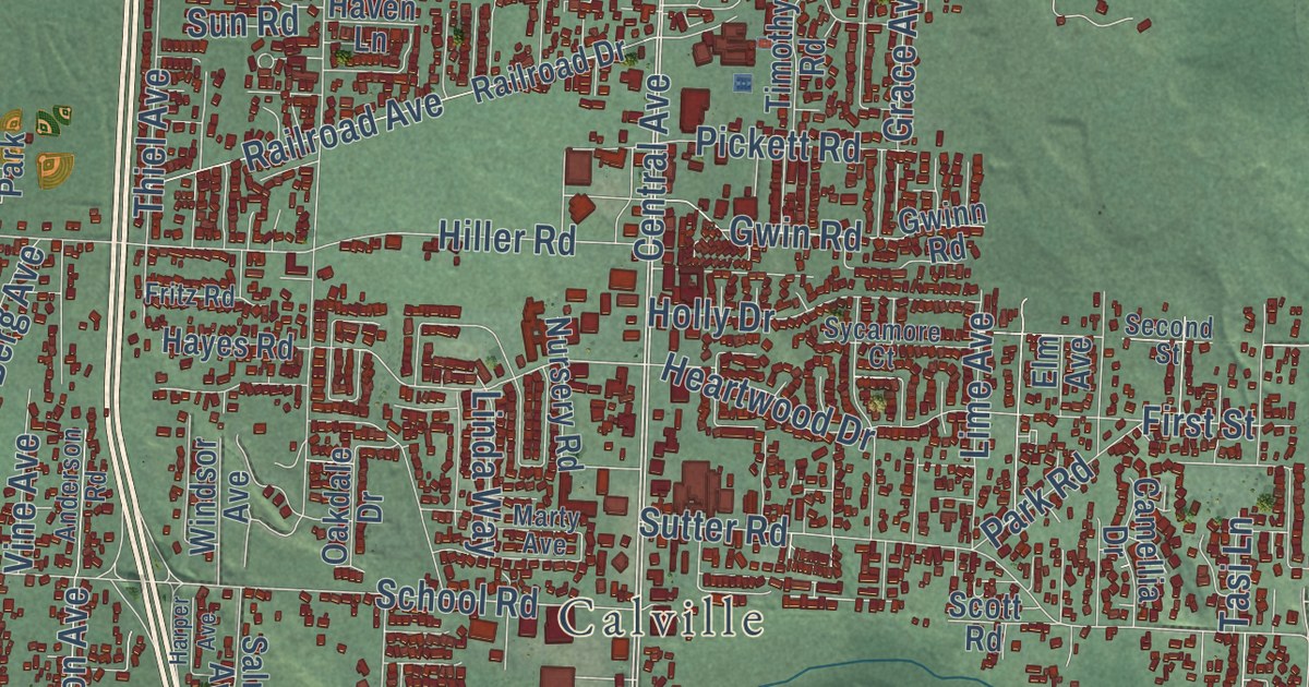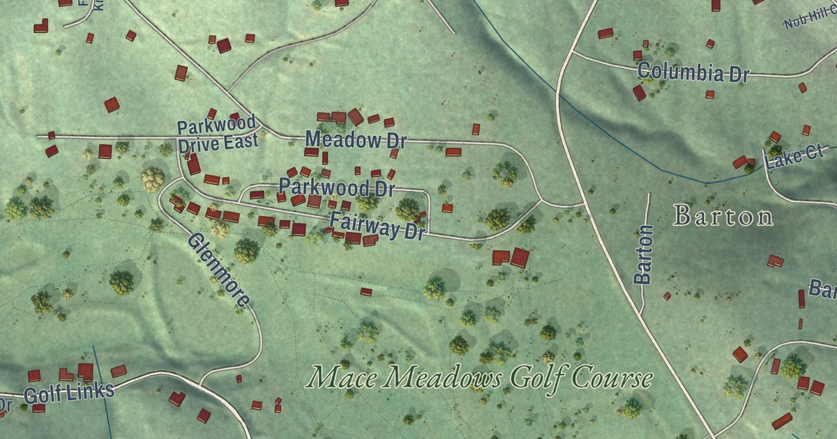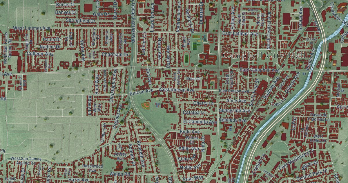
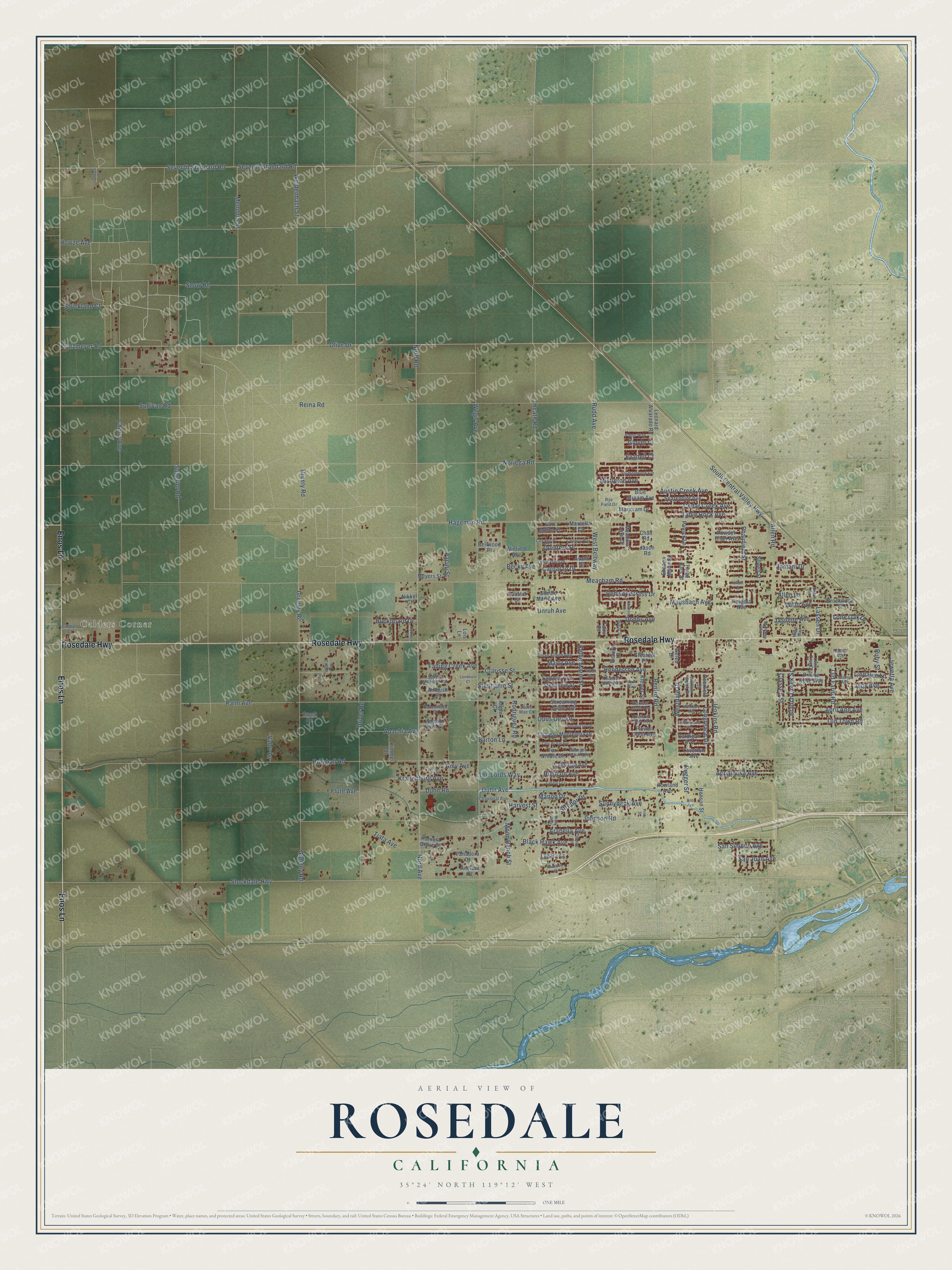
This beautifully detailed map of Rosedale, California was created in 2026 using aerial imagery combined with modern topographical, census, street and landmark data. It’s a one-of-a-kind view of Rosedale that combines accurate data with a vintage aesthetic. The map shows every building in its true location, many of the roads carry their names, and the shaded topographic relief shows the shape of the land.
Explore an aerial view of Rosedale, California
On the map you’ll find Calders Corner, along with Rosedale Highway, Enos Lane, Heath Road, Olive Drive, Jenkins Road, Duhn Avenue, Superior Road, Meacham Road, Palm Avenue, Brimhall Road, Noriega Road, and more. If you look closely you can even find your house accurately drawn in its correct location. Zoom in on the preview to look for yours.
Did you know this piece of Rosedale, California history?
From the Valley Ag Voice: "Taking the lead from other subdivision ventures, tracts of arable land in Western Kern County began to be marketed in 20 acre lots as the 12,000 acre Rosedale Colony."
Take a closer look at the Rosedale map
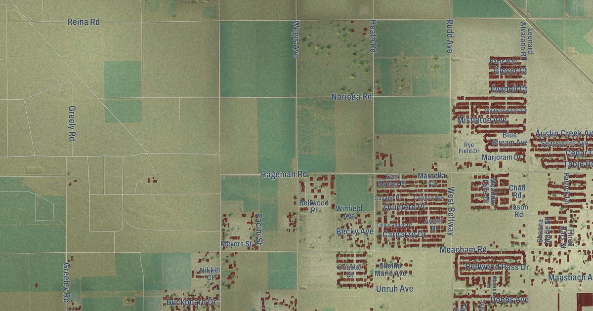
Street and place names on the Rosedale, California map
These names are printed on the map of Rosedale, California.
Places: Calders Corner.
Streets and roads: Rosedale Highway, Enos Lane, Heath Road, Olive Drive, Jenkins Road, Duhn Avenue, Superior Road, Meacham Road, Palm Avenue, Brimhall Road, Noriega Road, Nord Avenue.
More street names, A to Z
Albert Way, Allen Lane, Allen Road, Ambush Court, Amy Avenue, Anelura Court, Angie Court, Apachia Avenue, Appaloosa Avenue, April Ann Avenue, Arabella Avenue, Atrium Court, Austin Creek Avenue, Avanti Drive, Barton Lane, Batch Lane, Becky Avenue, Bellwood Place, Benny Lane, Black Hawk Avenue, Blue Stream Avenue, Bob Avenue, Branch Creek Street, Brockridge Court, Buckboard Drive, Cafaro Court, Calabria Way, Calistoga Avenue, Cardigan Avenue, Carparzo Drive, Carriage Street, Castlemaine Avenue, Cedar Creek Avenue, Chad Road, Chaparral Avenue, Chateau Montelena Drive, Cherry Avenue, Clarisse Street, Classen Street, Clos du Val Avenue, Coastal Court, Creek Road, Cusano Place, Deerfield Street, De Swan Court, Dobbs Avenue, Dollie Mae Court, Driver Road, Duhn Road, Evadell Court, Falling Creek Avenue, Far Niente Drive, Flower Crest Avenue, Flute Avenue, Georges Letour Avenue, Glover Court, Greatest Place, Greeley Rc, Greeley Road, Greely Road, Gribben Court, Hageman Road, Handel Avenue, Harvest Crest Avenue, Harvest Grove Court, Harvest Street, Havenridge Drive, Henderson Avenue, Henson Street, Howze Avenue, Jasmine Avenue, Jason Road, Jeff Street, Jewetta Avenue, Johnson Road, Jomani Drive, Judy Avenue, Kellie Marie Street, Kimmel Street, Klemer Street, Kranenburg Avenue, Kratzmeyer Road, Landeron Court, Lassen Drive, Laverton Avenue, Legacy Court, Legend Oaks Lane, Leonard Alvarado Road, Lindalee Lane, Lois Lane, Lone Oak Drive, Lone Tree Court, Longreach Drive, Maher Way, Mamie Avenue, Manon Drive, Marcella Court, Marjoram Drive, Marty Avenue, Mausbach Avenue, Mc Cain Street, Meadow Lake Drive, Mendota Street, Meyers Street, Mildred Lane, Mistletoe Avenue, Moon Ranch Street, Nikkel Court, Nord Road, Old Farm Road, Old Town Road, Opus One Drive, Orchard Crest Avenue, Pacini Street, Pams Way, Panadero Court, Patrick Lane, Pergola Avenue, Phairfield Street, Pinto Street, Powder River Avenue, Prairie Rose Way, Quintero Place, Redwood Pass Drive, Reina Road, Renfro Road, Ricoh Way, Rodriguez Road, Rowland Avenue, Rubicon Avenue, Ruby Street, Rudd Avenue, Rugger Street, Rye Field Drive, Saddle Mountain Drive, Sammie Avenue, San Juan Avenue, San Marco Place, San Simeon Avenue, Screaming Eagle Avenue, Searspoint Avenue, Sequoia Grove, Seventh Standard Road, Sewell Street, Shauna Marie Street, Shellie Marie Avenue, Snow Road, South Central Valley Highway, Southernwood Avenue, Stephanie Street, Stephenie Street, Stockdale Highway, Strebor Drive, Strickland Court, Sugar Street, Sullivan Road, Sunnybank Avenue, Susan Eileen Avenue, Table Rock Avenue, Tallus Ranch Drive, Tami Court, The Lords Way, Three Bars Street, Thunder Valley Road, Tiata Avenue, Tradition Court, Unruh Avenue, Valov Lane, Van Buren Place, Victory Lane, Wegis Avenue, Weidenbach Street, Welch Drive, Welty Way, West Beltway, Westbury Avenue, Westdale Drive, Willow Brook Street, Winfield Avenue, Winn Avenue.
See the Rosedale, California map on a wall
The Rosedale map as an 18 x 24 inch print in a black frame.

This beautifully detailed map of Rosedale makes an attractive addition to your office, library, or den, and it can even be used to teach children the geography and history of the area. It also makes a great gift for anyone with Rosedale roots. When you’re done exploring, click here to get your copy of the Rosedale map.