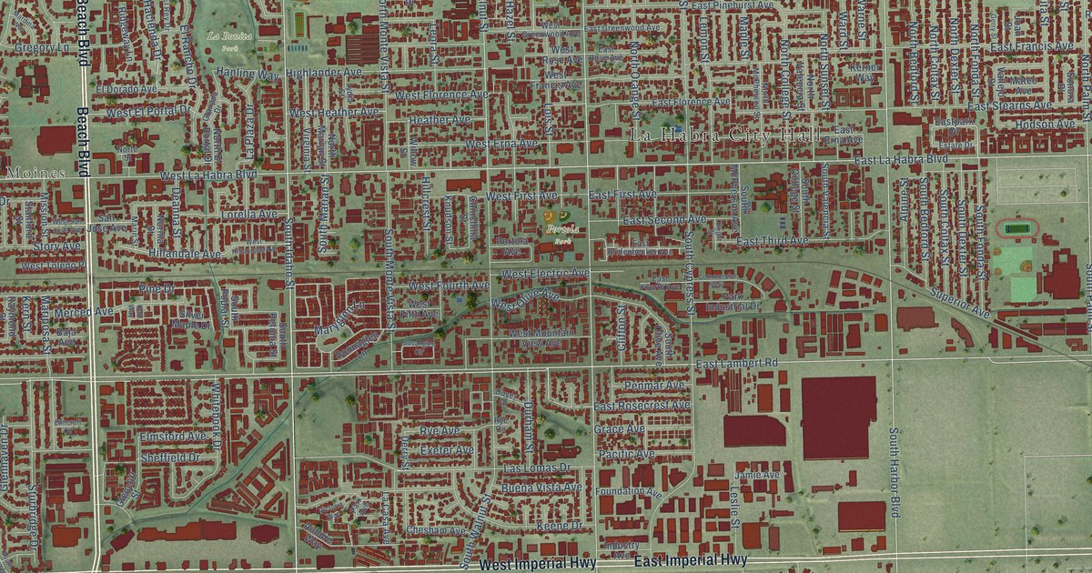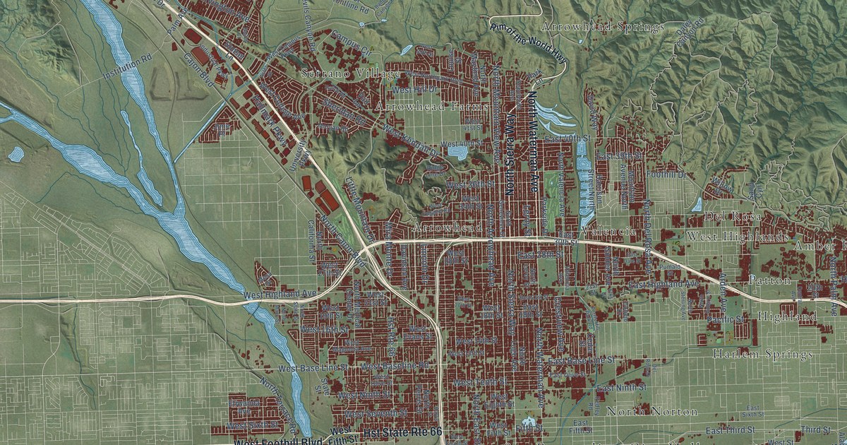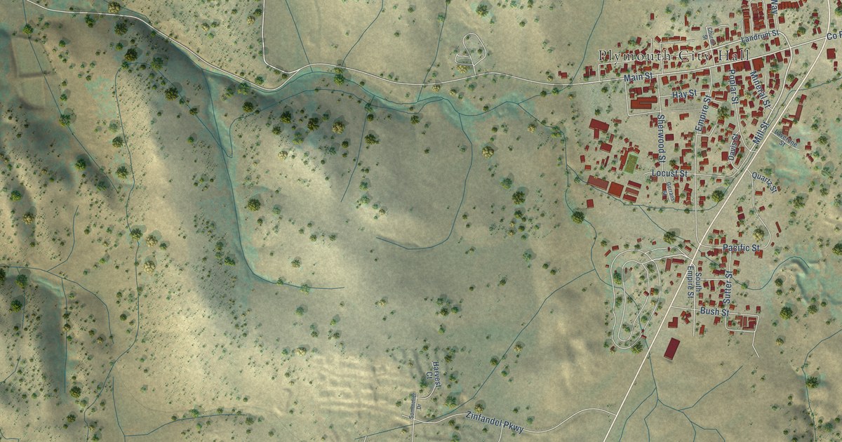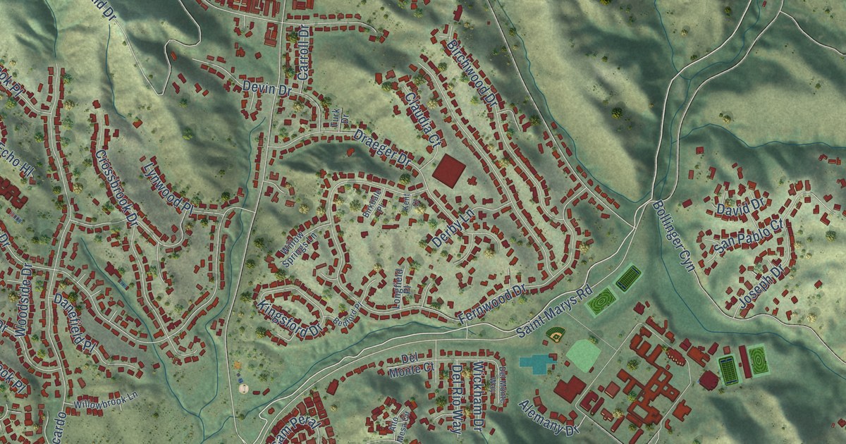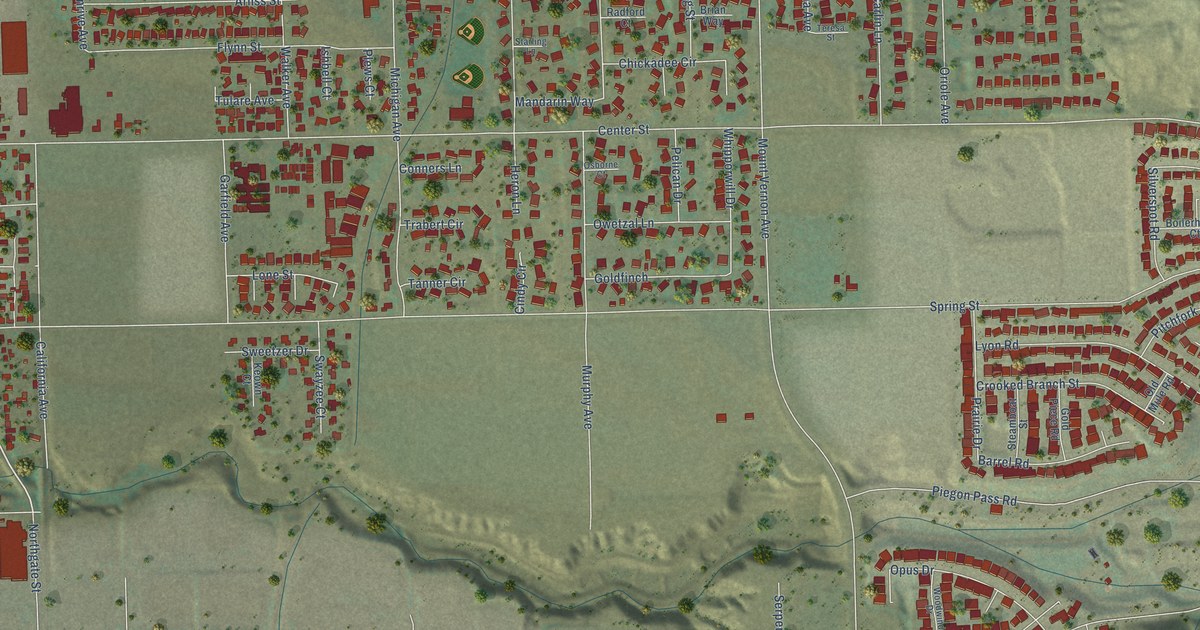
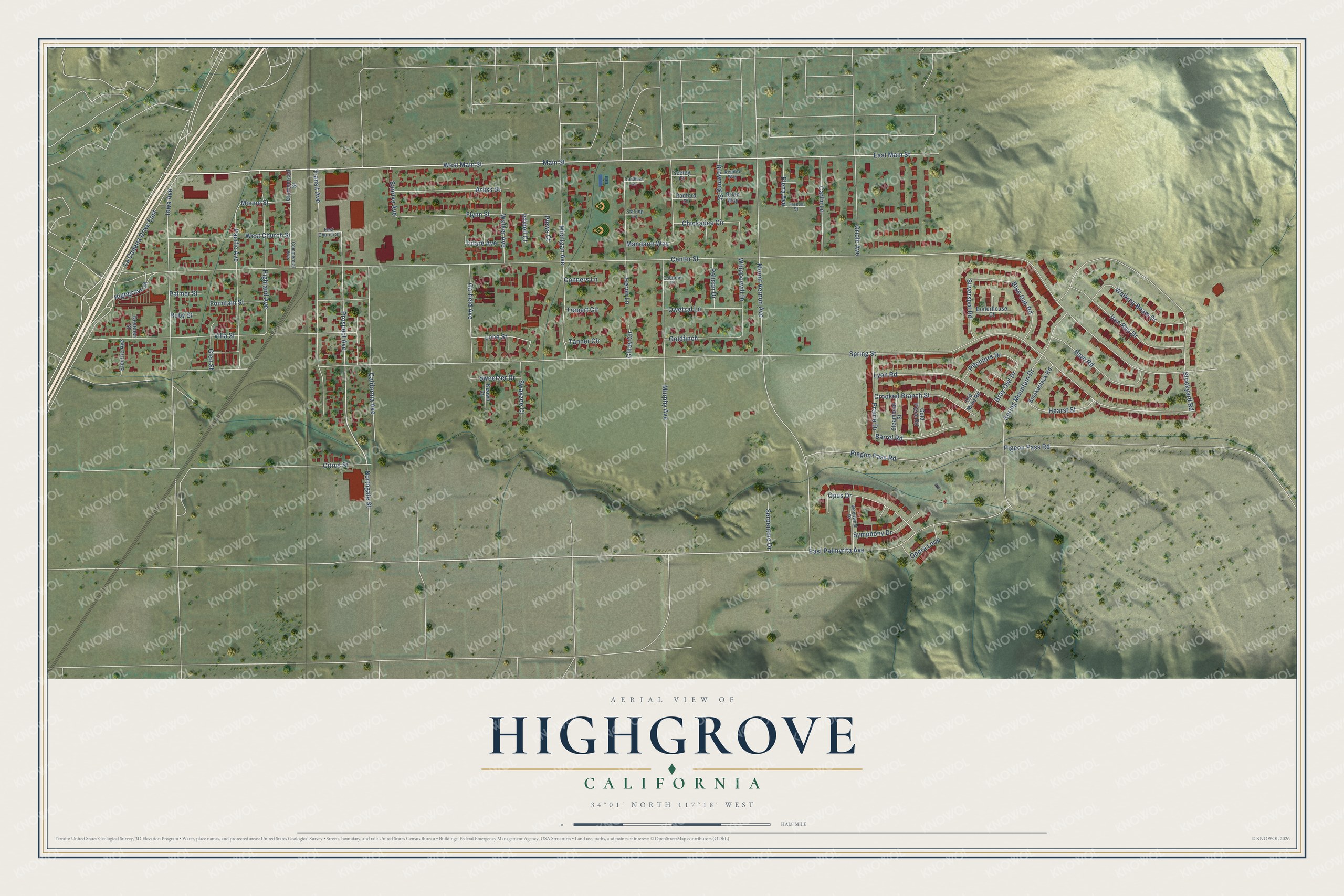
This beautifully detailed map of Highgrove, California was created in 2026 using aerial imagery combined with modern topographical, census, street and landmark data. It's a modern aerial view of Highgrove in Riverside County, California, that combines modern data with a vintage aesthetic. The roads feature printed names, and if you look closely you can find your exact house accurately shown in its correct location.
Explore an aerial view of Highgrove, California
On this map you'll find West Main Street, Highgrove Place, Prospect Avenue, Mound Street, Center Street, Spring Street, Main Street, Mount Vernon Avenue, Pigeon Pass Road, Villa Street, Stockyard Road, East Palmyrita Avenue, and more. Each red shape is a building, so zoom in on the preview and look for yours.
Here is a piece of Highgrove history, in the words of the record. The Historical Marker Database puts it this way: "The first commercially significant hydroelectric plant in California, designed and built by Gustavus Olivio Newman, went into service here in 1888."
Highgrove is a community in Riverside County. The Census Bureau counted 7,515 people here in 2020.
Take a closer look at the Highgrove map
Names on this map
These names are printed on this map.
Streets and roads: West Main Street, Highgrove Place, Prospect Avenue, Mound Street, Center Street, Spring Street, Main Street, Mount Vernon Avenue, Pigeon Pass Road, Villa Street, Stockyard Road, East Palmyrita Avenue.
More street names, A to Z
Arliss Street, Barn Road, Barrel Road, Blue Oak Road, Boilerhouse Court, Brian Way, Browning Street, California Avenue, Cardinal Lane, Carlin Lane, Chickadee Circle, Cindy Circle, Citrus Street, Commercial Avenue, Commercial Street, Conners Lane, Crooked Branch Street, Devener Street, East Church Street, East Main Street, Electric Avenue, Elena Avenue, Flynn Street, Fountain Street, Garfield Avenue, Glen Street, Goldfinch, Gold Piece Road, Gray Owl Drive, Hearst Street, Heron Lane, Highland Avenue, Iowa Avenue, Iron Rail Drive, Ishbell Court, Kendra Way, Keown Court, La Cadena Drive East, Lone Street, Lyon Road, Mandarin Way, Michigan Avenue, Murphy Avenue, Northgate Street, Old Mule Road, Opera Loop, Opus Drive, Oriole Avenue, Osborne Court, Owetzal Lane, Pacific Avenue, Palmer Street, Pelican Drive, Piegon Pass Road, Pitchfork Drive, Plews Court, Prairie Drive, Radford Court, Ruby Street, Sanrive Avenue, Seeley Court, Serpentine Drive, Silverspot Road, Smokestack Road, Spring Mountain Drive, Starling Lane, Steamboat Street, Swayzee Court, Sweetzer Drive, Symphony Drive, Tanner Circle, Teresa Street, Trabert Circle, Transit Avenue, Tulare Avenue, Walker Avenue, Walking Beam Drive, West Church Street, Whipporwill Drive, Woodwind Drive.
Created by KNOWOL in 2026. The buildings are small red shapes, the roads carry their printed names, and shaded relief shows the shape of the land. The title panel reads "AERIAL VIEW OF HIGHGROVE CALIFORNIA" with 34°01' NORTH 117°18' WEST.
It suits a den, a classroom or a front hall, and it makes a gift for anyone with Highgrove roots. Open the preview and find the block you know. See sizes and frames for the Highgrove map.