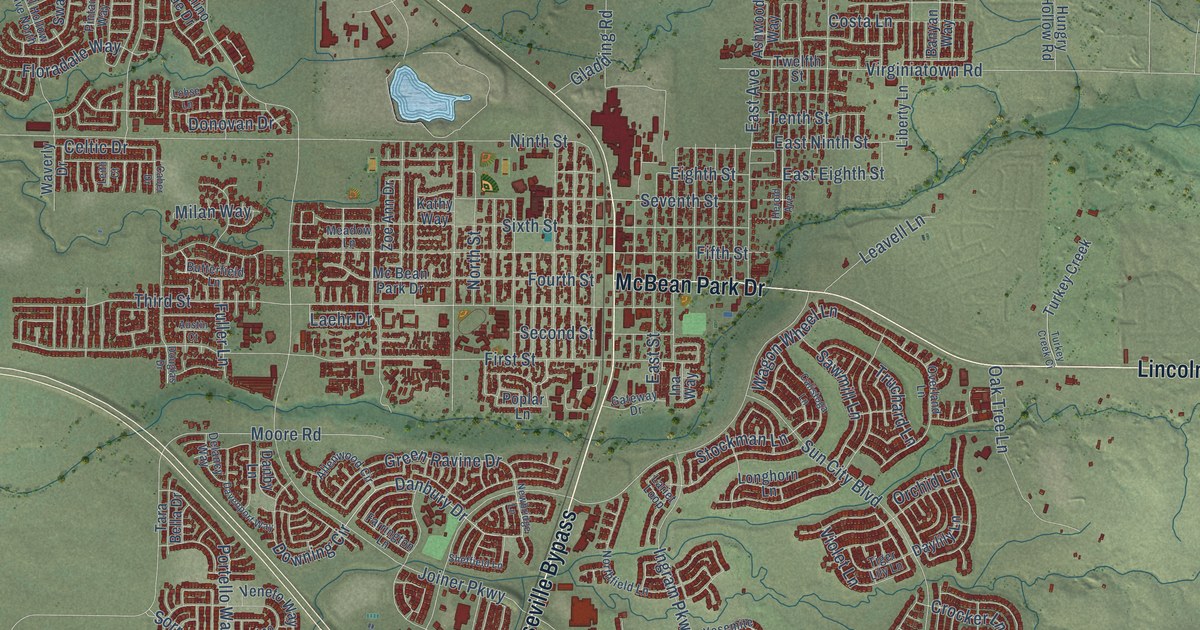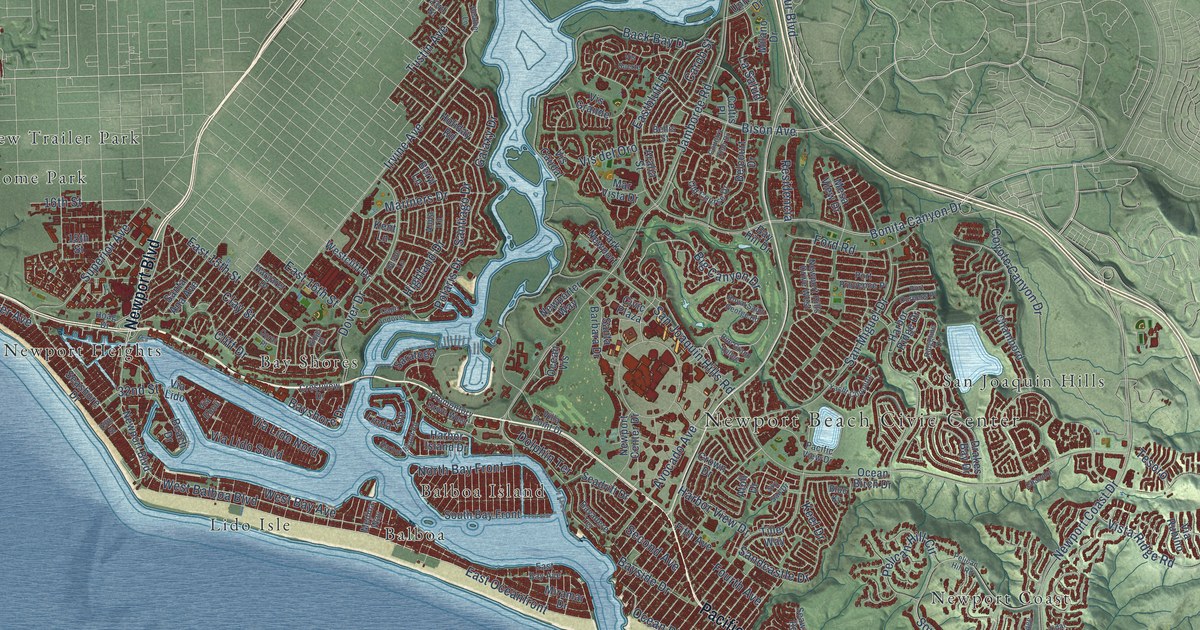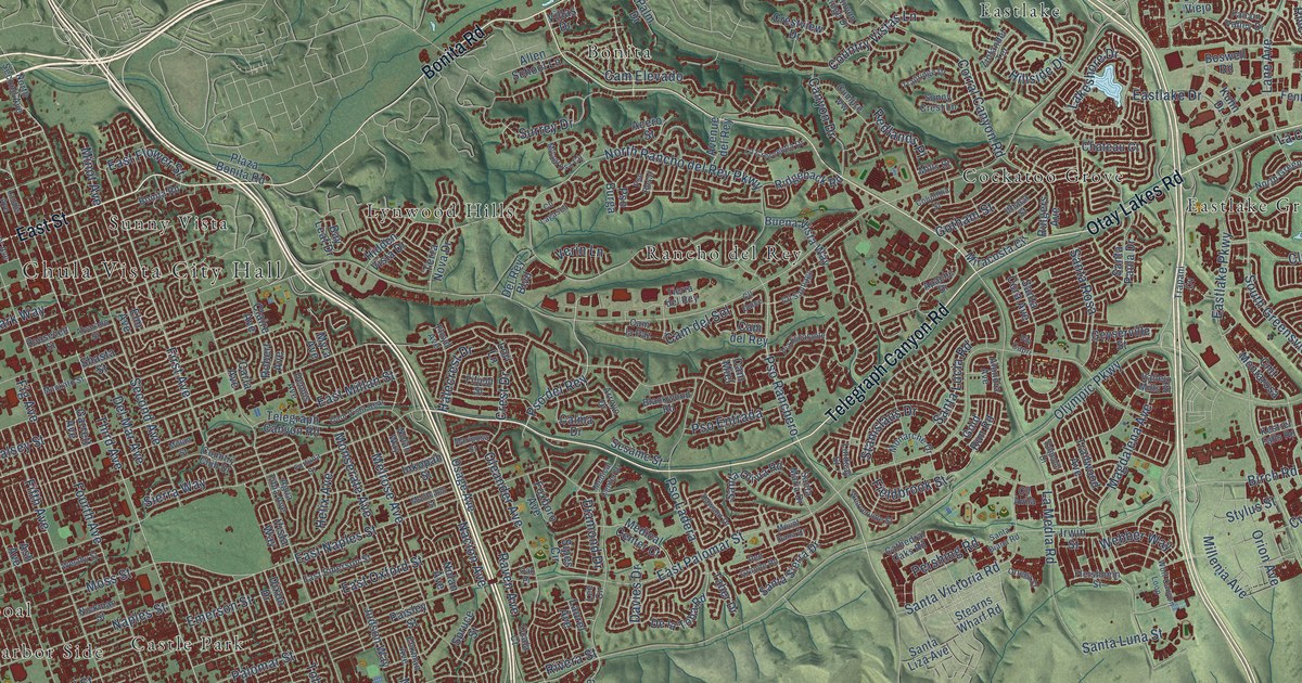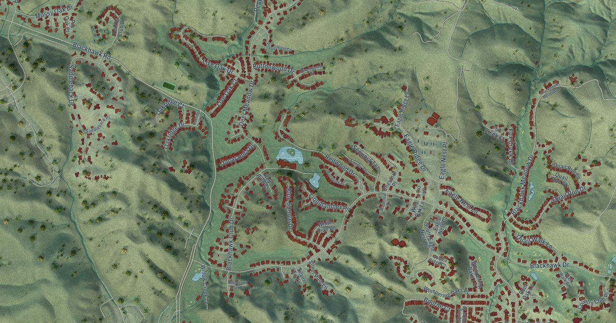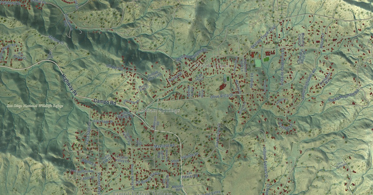
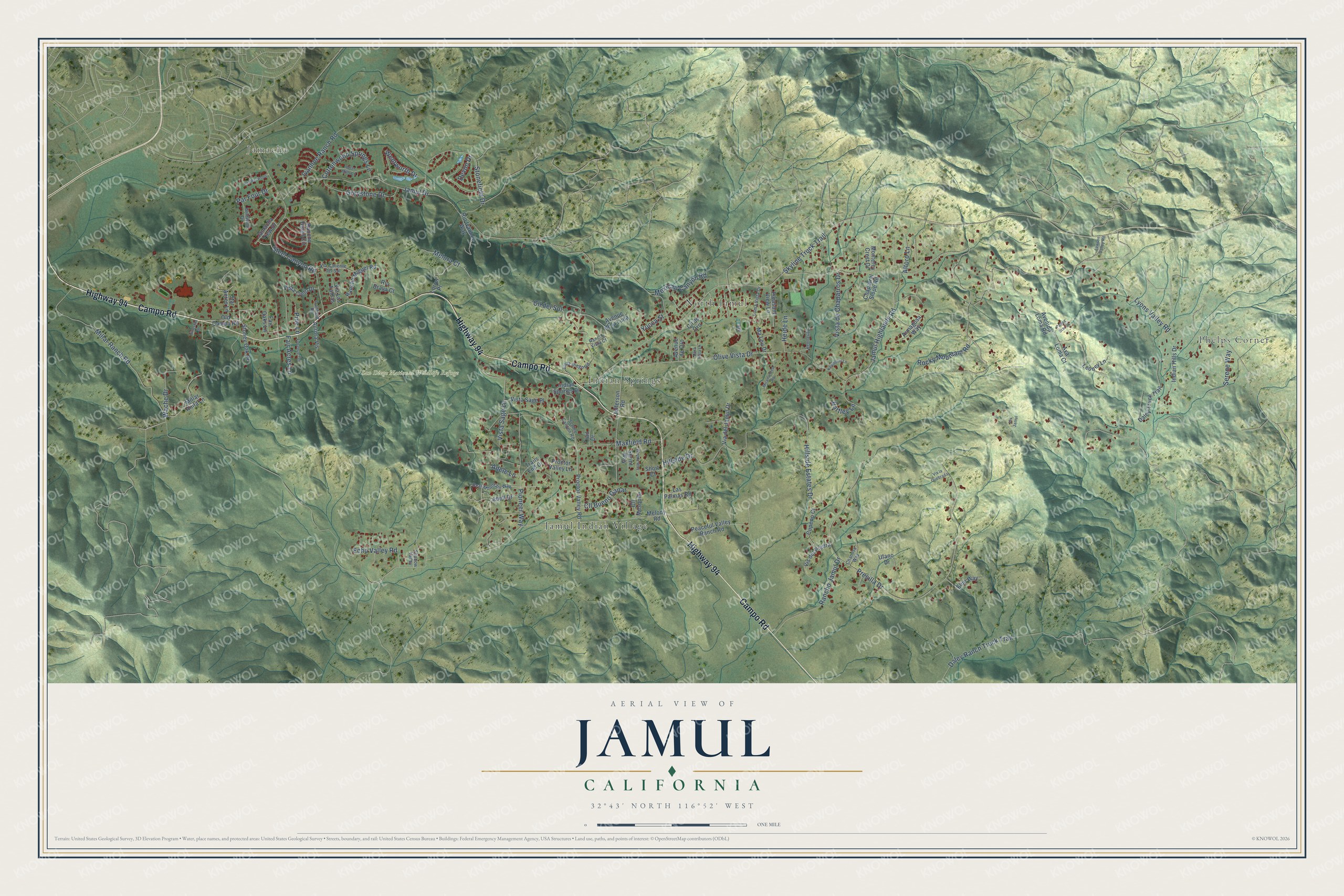
This beautifully detailed map of Jamul, California was created in 2026 using aerial imagery combined with modern topographical, census, street and landmark data. It's a modern aerial view of Jamul in San Diego County, California, that combines modern data with a vintage aesthetic. The roads feature printed names, and if you look closely you can find your exact house accurately shown in its correct location.
Explore an aerial view of Jamul, California
On this map you'll find Phelps Corner, Jamacha, North Jamul, Indian Springs, San Diego National Wildlife Refuge, Jamul Indian Village, Campo Road, Highway 94, Rocky Mountain Road, Lyons Valley Road, Jamul Drive, Presilla Drive, and more. Each red shape is a building, so zoom in on the preview and look for yours.
Jamul is a community in San Diego County. The Census Bureau counted 6,179 people here in 2020. The map prints the town name in its title panel, with the coordinates below it.
Take a closer look at the Jamul map
Names on this map
These names are printed on this map.
Places: Phelps Corner, Jamacha, North Jamul, Indian Springs, San Diego National Wildlife Refuge and Jamul Indian Village.
Streets and roads: Campo Road, Highway 94, Rocky Mountain Road, Lyons Valley Road, Jamul Drive, Presilla Drive, Skyline Truck Trail, Millar Ranch Road, Olive Vista Drive, Steel Canyon Road, Jamul Highlands Road, Hillside Drive.
More street names, A to Z
Abell Drive, Adele Lane, Altoro Lane, Armagosa Way, Aurora Vis, Ava Loma Court, Avenida Loma Road, Avenue de la Luna, Avenue de Oro, Bartley Lane, Bear Mountain Way, Canfield Road, Chamise Way, Chaparral Slope Road, Cll Bueno Ganar, Cll del Sol, Cll de Oro, Cll Mesquite, Cottonwood Springs Lane, Cupeno Court, Daley Ranch Truck Trail, Daley Truck Trail, Devon Drive, Dora Vista Lane, Echo Valley Road, Elijo Way, Fair Acres Lane, Fair Oaks Lane, Florence Terrace, Greystone Drive, Heatherwood, Heide Lane, Hillestad Drive, Hillside Estates Drive, Indian Hills Drive, Indian Mills Lane, Indian Springs Drive, Ivanhoe Ranch Road, Jamacha View Drive, Jefferson Road, Kemberley, Kemberly Lane, Las Palmas Road, Lawson Valley Road, Leoney Lane, Loma Vista Drive, Lorrel Place, Ma Lou Drive, Maxfield Road, Melody Road, Melora Court, Mexican Canyon Road, Millar Anita Lane, Miramontes Road, Monterey Crest Drive, Old Campo Road, Pallux Star Court, Par Four Drive, Peaceful Valley Ranch Road, Pine Lane, Pioneer Way, Pleasant View Lane, Proctor Valley Lane, Proctor Valley Road, Rancho Diego Circle, Rancho Jamul Drive, Rancho Miguel Road, Rancho Vista Court, Rio Brava Court, Rio Ivanhoe Way, Schlee Canyon Road, Serene Way, Shadow Valley, Short Court, Sprint Way, Star Acres Lane, Stonefield Drive, Stoney Oak Drive, Trail Drive, Trails End Drive, Ufano Drive, Via Caliente del Sol, Via del Jamul Drive, Via Las Faldas, Vis del Piedra, Vis Jamul, Vis la Quebrada, Vista Cielo Drive, Vista de Chaparros Drive, Vista Diego Road, Vista Sage Lane, Vista Sage Place, Wache Drive, Wanda Way, Wentworth Drive, Wildwind Drive, Yucca Street.
Created by KNOWOL in 2026. The buildings are small red shapes, the roads carry their printed names, and shaded relief shows the shape of the land. The title panel reads "AERIAL VIEW OF JAMUL CALIFORNIA" with 32°43' NORTH 116°52' WEST.
Hang it in the hallway, the office or the cabin, or give it to someone who left Jamul and still calls it home. Open the preview and look for a street you know. See sizes and frames for the Jamul map.