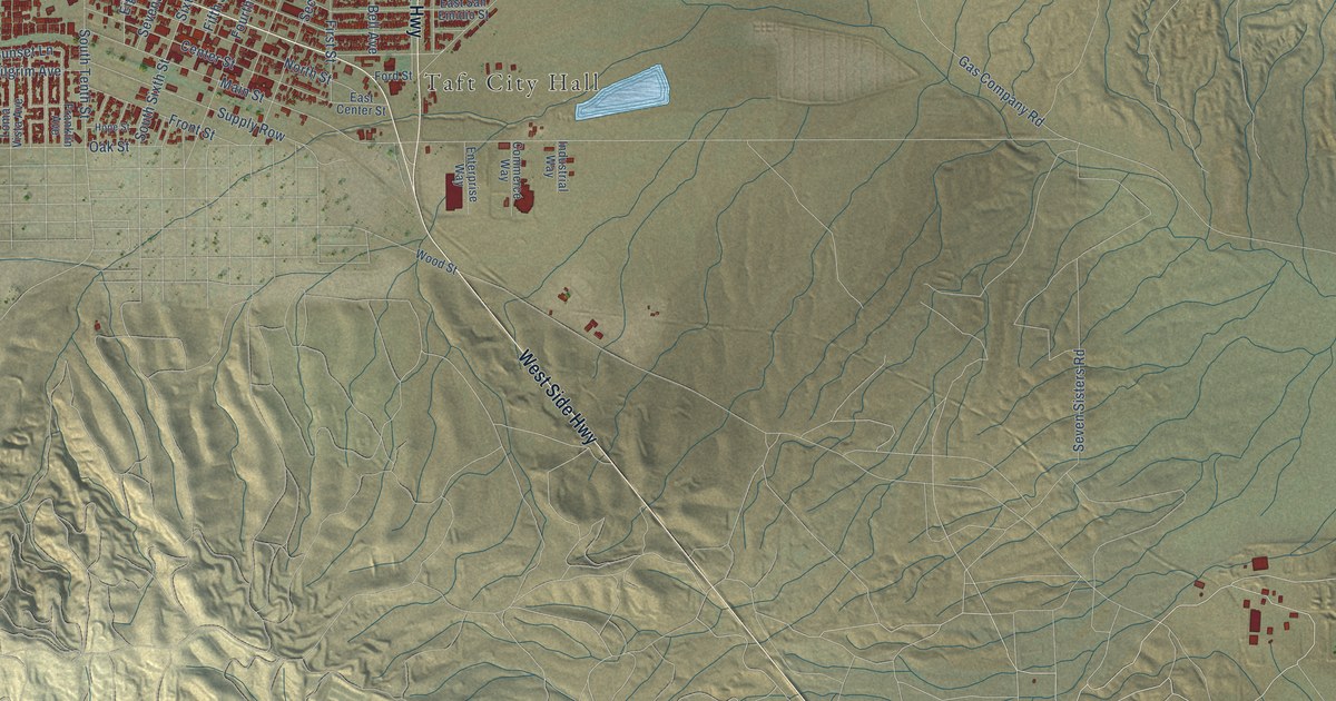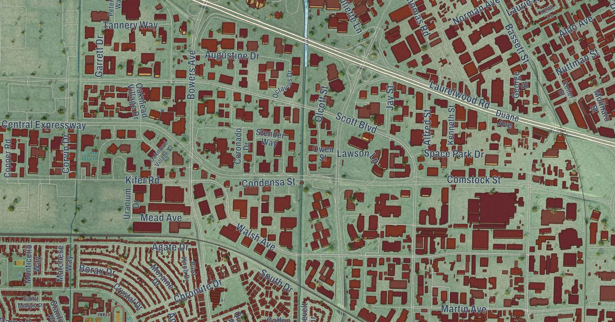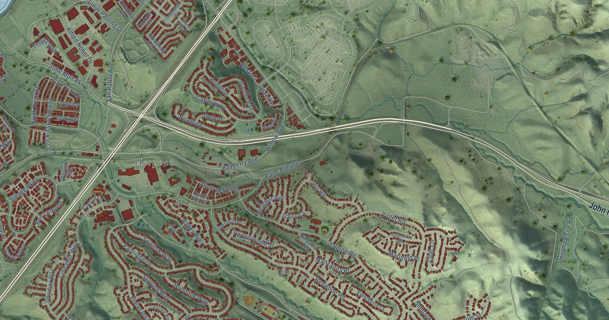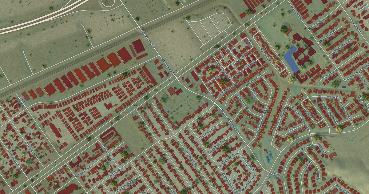
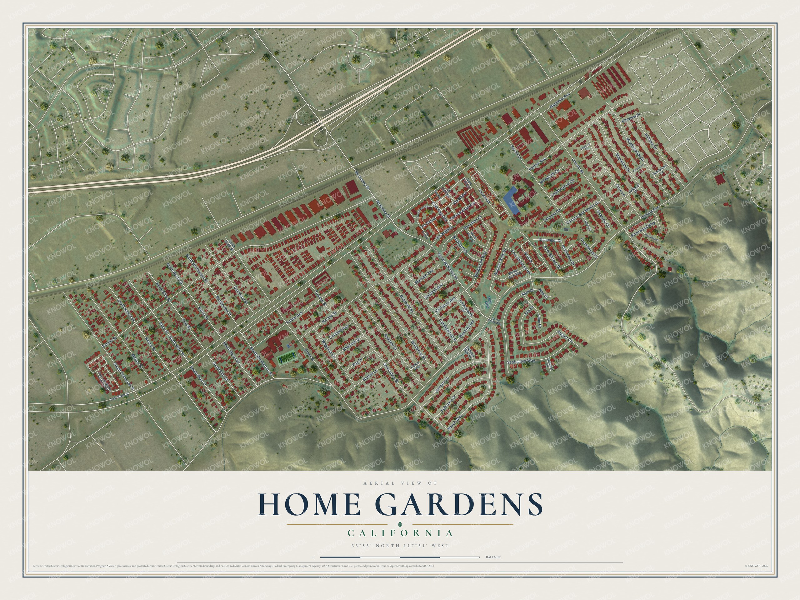
This beautifully detailed map of Home Gardens, California was created in 2026 using aerial imagery combined with modern topographical, census, street and landmark data. It's a modern aerial view of Home Gardens in Riverside County, California, that combines modern data with a vintage aesthetic. The roads feature printed names, and if you look closely you can find your exact house accurately shown in its correct location.
Explore an aerial view of Home Gardens, California
On this map you'll find Lincoln Street, Savannah, Via Antibes, Azalea, Via Napoi, Magnolia Avenue, Indiana Avenue, Estelle Street, Grant Street, Mc Kinley Street, McKinley Street, North McKinley Street, and more. Each red shape is a building, so zoom in on the preview and look for yours.
Home Gardens is a community in Riverside County. The Census Bureau counted 11,203 people here in 2020. The map prints the town name in its title panel, with the coordinates below it.
Take a closer look at the Home Gardens map
Names on this map
These names are printed on this map.
Streets and roads: Lincoln Street, Savannah, Via Antibes, Azalea, Via Napoi, Magnolia Avenue, Indiana Avenue, Estelle Street, Grant Street, Mc Kinley Street, McKinley Street, North McKinley Street.
More street names, A to Z
Andover Street, April Drive, April Shower Drive, Ashland Place, August Circle, Autumn Walk Drive, Avenue Empresa, Avenue Pescador, Babcock Drive, Barker Lane, Blair Street, Briarvale Street, Brotherton Street, Byron Street, Cam Anguilla, Camino San Benito Drive, Cam Tobago, Candlewood Street, Cliffshire Avenue, Cll Antilles, Cobblestone Circle, Concord Avenue, Creekwood Court, Crownsworth Street, Davidson Street, December Court, Dixie Lane, Dogwood Circle, East Sixth Street, Ellis Street, Elmview Drive, Exeter Avenue, Fairoaks Lane, February Drive, Four Seasons Road, Gatehall Avenue, Harlow Avenue, Harlow Street, Harvill Lane, Hillview Drive, Hollowood Court, January Court, July Drive, June Court, Kay Drive, Mapleleaf Drive, March Way, Marvale Avenue, May Court, Meadowview Drive, Moody Street, Neece Street, North Blair Street, North Brotherton Street, North Byron Street, North Ellis Street, North Pole Lane, November Drive, October Court, Park Lane Mobile Home Estate, Porch Street, Reindeer Court, Riverwood Way, Sandstone Lane, September Way, Siskiyou Circle, Snowdrift Drive, Somerdale Street, South Blair Street, South Brotherton Street, South Byron Street, South Ellis Street, South Grant Street, South Neece Street, South Temescal Street, Spring Creek Way, Summer Glen Drive, Tehama Circle, Tolton Avenue, Truman Street, Via Espana, Via Salvia, Wagoner Lane, Waverly Avenue, Windsong Street, Windstorm Way, Winter Sun Way, Woodcliff Circle, Yuba Circle.
Created by KNOWOL in 2026. The buildings are small red shapes, the roads carry their printed names, and shaded relief shows the shape of the land. The title panel reads "AERIAL VIEW OF HOME GARDENS CALIFORNIA" with 33°53' NORTH 117°31' WEST.
It looks right in a kitchen, an office or a den, and it's a gift for anyone who grew up in Home Gardens or moved away. Open the preview and find your street. See sizes and frames for the Home Gardens map.