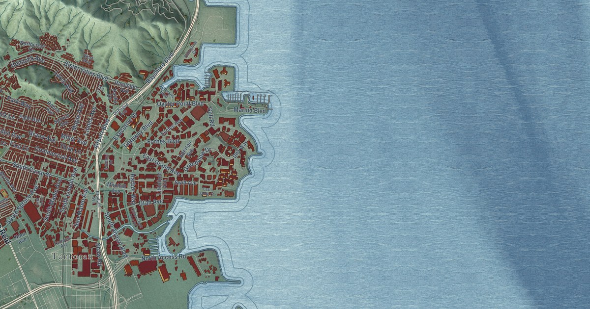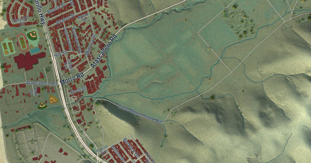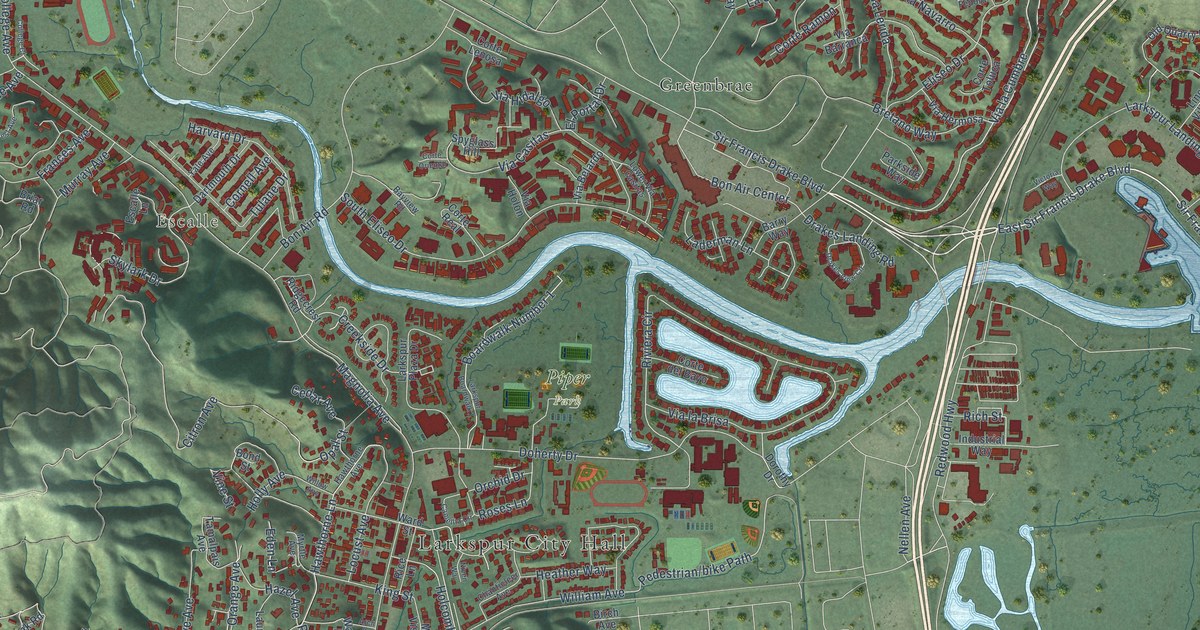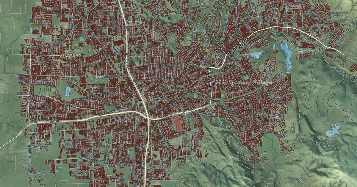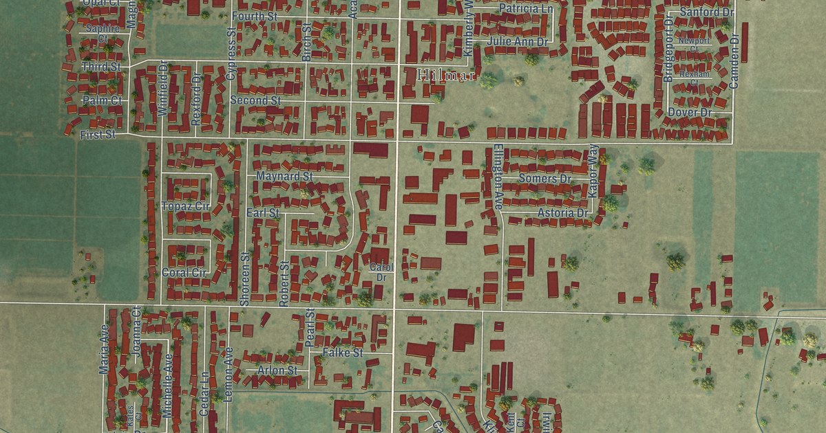
This beautifully detailed map of Hilmar-Irwin, California was created in 2026 using aerial imagery combined with modern topographical, census, street and landmark data. It's a modern aerial view of Hilmar-Irwin in Merced County, California, that combines modern data with a vintage aesthetic. The roads feature printed names, and if you look closely you can find your exact house accurately shown in its correct location.
Explore an aerial view of Hilmar-Irwin, California
On this map you'll find Irwin, Hilmar, Lander Avenue, Amethyst Drive, Camden Drive, Bridgeport Drive, Michelle Avenue, American Avenue, August Avenue, Geer Avenue, Columbus Avenue, Bloss Avenue, and more. Each red shape is a building, so zoom in on the preview and look for yours.
Hilmar-Irwin is a community in Merced County. The Census Bureau counted 5,164 people here in 2020. The map prints the town name in its title panel, with the coordinates below it.
Take a closer look at the Hilmar-Irwin map
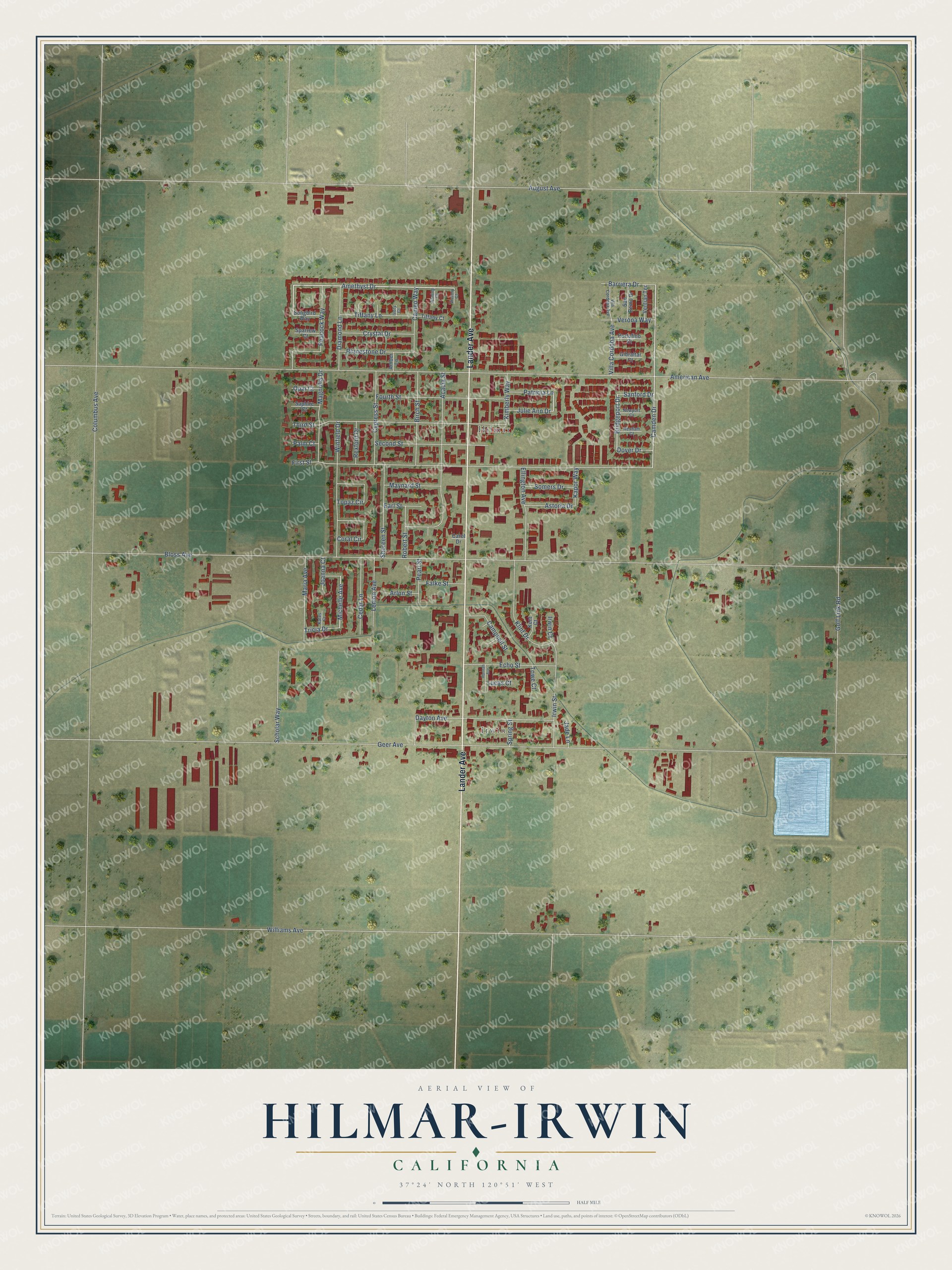
Names on this map
These names are printed on this map.
Places: Irwin and Hilmar.
Streets and roads: Lander Avenue, Amethyst Drive, Camden Drive, Bridgeport Drive, Michelle Avenue, American Avenue, August Avenue, Geer Avenue, Columbus Avenue, Bloss Avenue, Williams Avenue, Golf Link Road.
More street names, A to Z
Acacia Street, Amber Lane, Anning Court, Arlon Street, Astoria Drive, Barriera Drive, Birch Street, Cameo Way, Campbell Street, Carol Drive, Cedar Lane, Coral Circle, Crystal Drive, Cypress Street, Dayton Avenue, Diamond Lane, Dover Drive, Earl Street, Echo Street, Ellington Avenue, Falke Street, First Street, Fourth Street, Gibraltar Court, Hannah Avenue, Irwin Court, Irwin Street, Ivory Court, Jade Lane, Joanna Court, Julie Ann Drive, Kapor Way, Kates Court, Kent Court, Kimberly Way, Klint Drive, Lemon Avenue, Lucas Court, Magnolia Drive, Maria Avenue, Maynard Street, Newport Court, Opal Court, Palm Court, Patricia Lane, Peacock Way, Pearl Street, Portofino Court, Rexford Drive, Rexham Court, Rhinestone Drive, Robert Street, Sanford Drive, San Remo Drive, Saphire Court, Scholar Way, Second Street, Shoreen Street, Somers Drive, Songbird Way, Sparrow Court, Spring Street, Third Street, Tiffany Court, Tiffany Lane, Topaz Circle, Towe Court, Tricia Drive, Ventian Terrace, Verona Way, Victory Court, Vila Cordoba Avenue, Villa Cordoba Avenue, Winfield Drive.
Created by KNOWOL in 2026. The buildings are small red shapes, the roads carry their printed names, and shaded relief shows the shape of the land. The title panel reads "AERIAL VIEW OF HILMAR-IRWIN CALIFORNIA" with 37°24' NORTH 120°51' WEST.
Hang it in the hallway, the office or the cabin, or give it to someone who left Hilmar-Irwin and still calls it home. Open the preview and look for a street you know. See sizes and frames for the Hilmar-Irwin map.