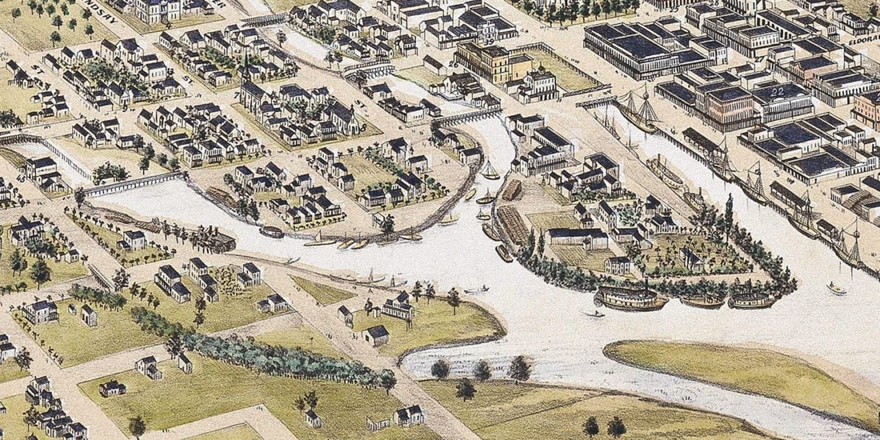
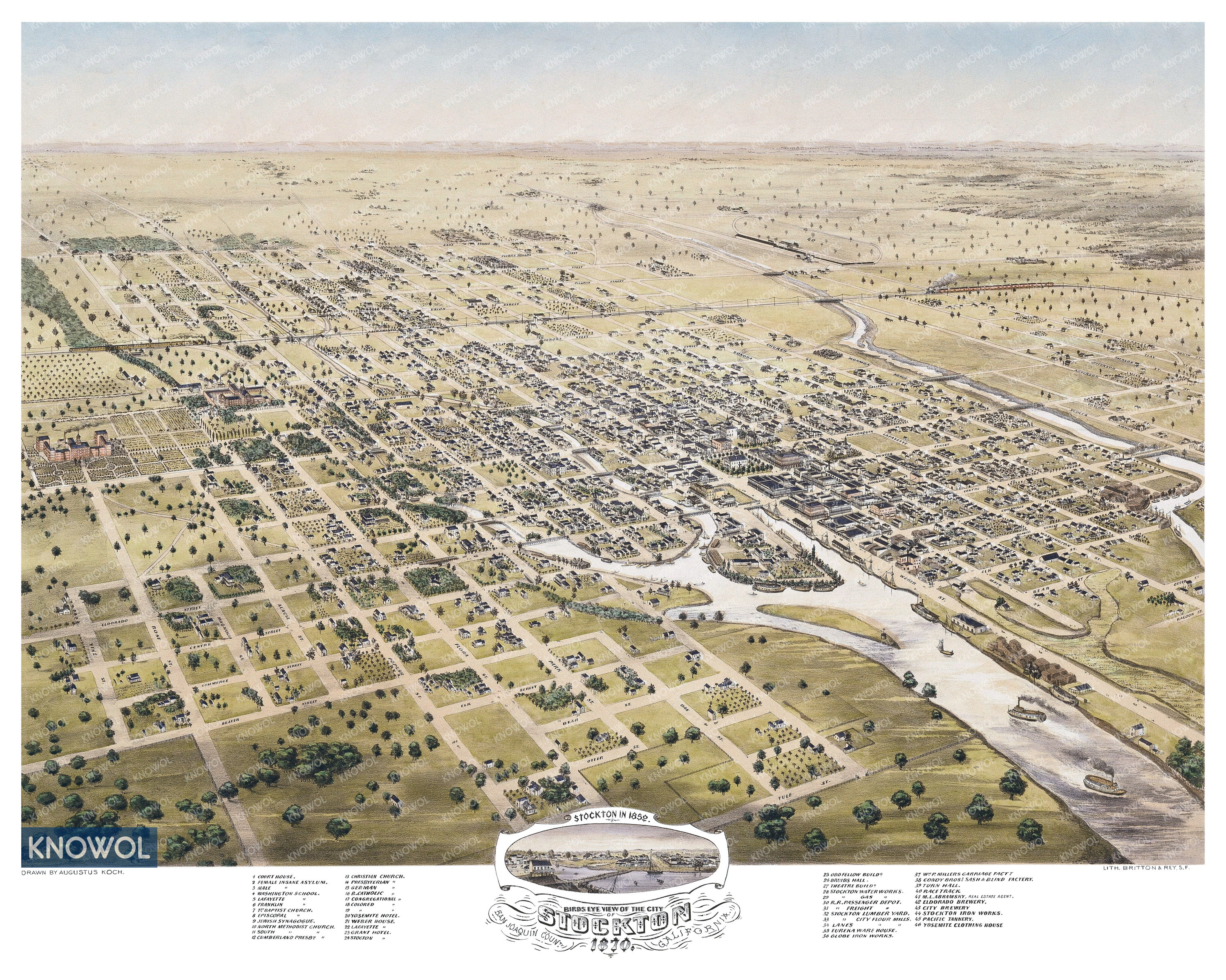
This historic map of Stockton, California was created in 1870 by Augustus Koch, a prominent 19th century map maker. The map shows a bird’s eye view of the city as it used to look, including street names and old landmarks.
Landmarks on the map include Male and Female Insane Asylums, Eldorado Brewery, Pacific Tannery, Yosemite Clothing House, Yosemite Hotel, Odd Fellow Building, Druid’s Hall, City Brewery, Theatre Building, Stockton Race Track, and more.
This historic map of Stockton has been restored by KNOWOL. Reproductions of the restored map are available here.
Historic Old Map of Stockton, California from 1870
This vintage map of Stockton makes an attractive addition to your office, library, or den, and can even be used to teach children the geography and history of the area. When you’re done exploring, click here to get your copy of the restored map.