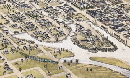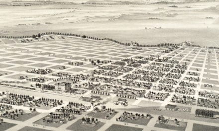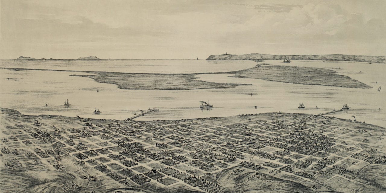
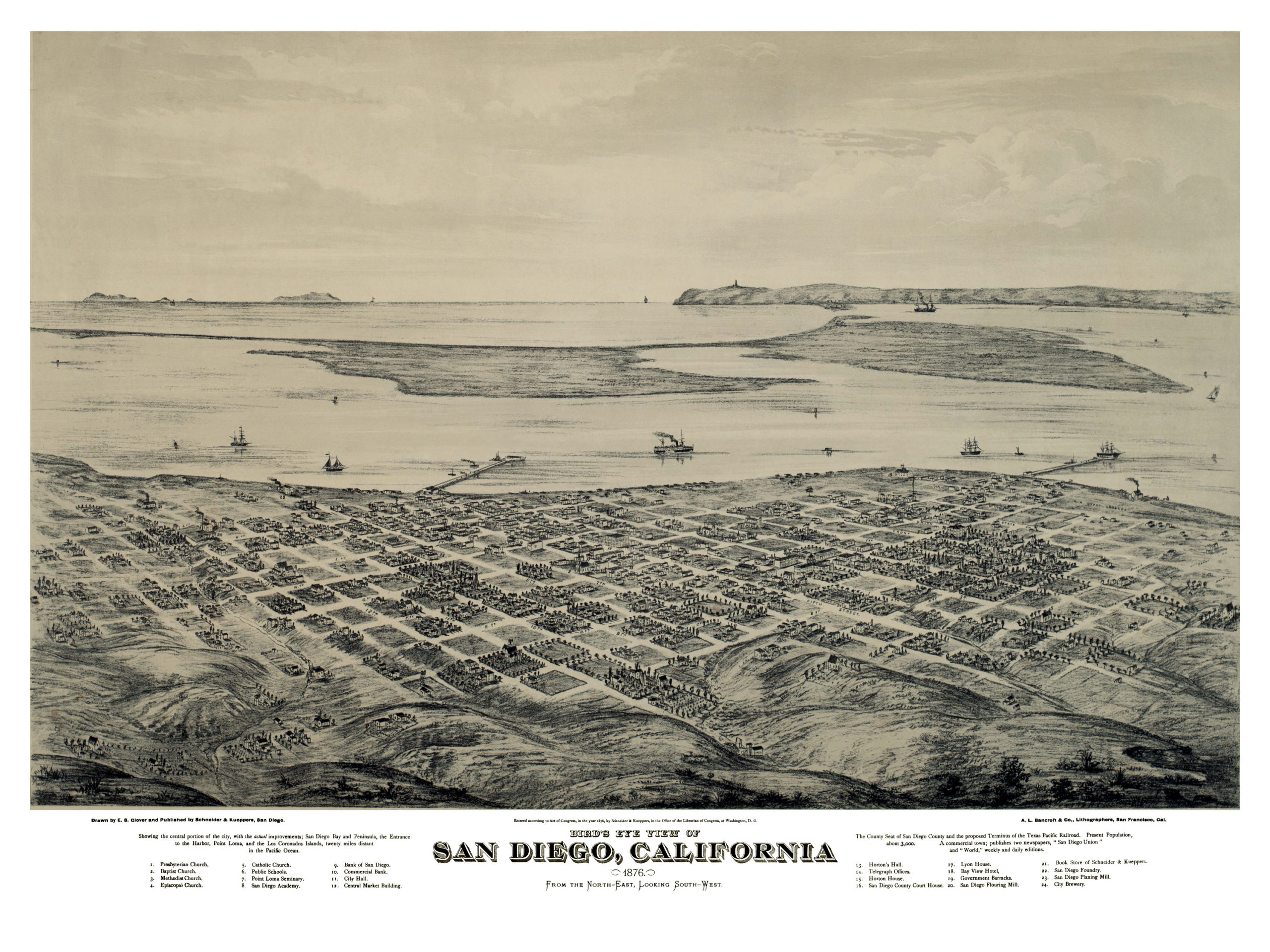
This old map of San Diego, California was created in 1876 by E.S. Glover and published by Schneider & Kueppers. The map shows the central portion of the city including San Diego Bay, Point Loma, and the Los Coronados Islands, twenty miles distant in the Pacific Ocean. San Diego is described as:
“The County Seat of San Diego County and the proposed Terminus of the Texas Pacific Railroad. Present population about 3,000. A commercial town; publishes two newspapers, “San Diego Union” and “World,” weekly and daily editions.”
The map provides a bird’s eye view of San Diego, CA as it looked at the end of the 19th century. Landmarks on the map include Point Loma Seminary, San Diego Academy, City Hall, Central Market Building, Horton’s Hall, Bay View Hotel, Government Barracks, San Diego Flouring Mill, City Brewery, and more.
Click here to see San Diego, California in 1876.
Reproductions of the restored map are available here.
This old map of San Diego has been lovingly restored by the team at KNOWOL. Reproductions of the restored map are available on museum quality, archival paper to ensure that this piece of California history can be passed on to the next generation. Click here to get a copy of the map.