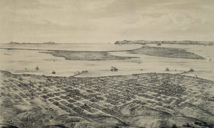
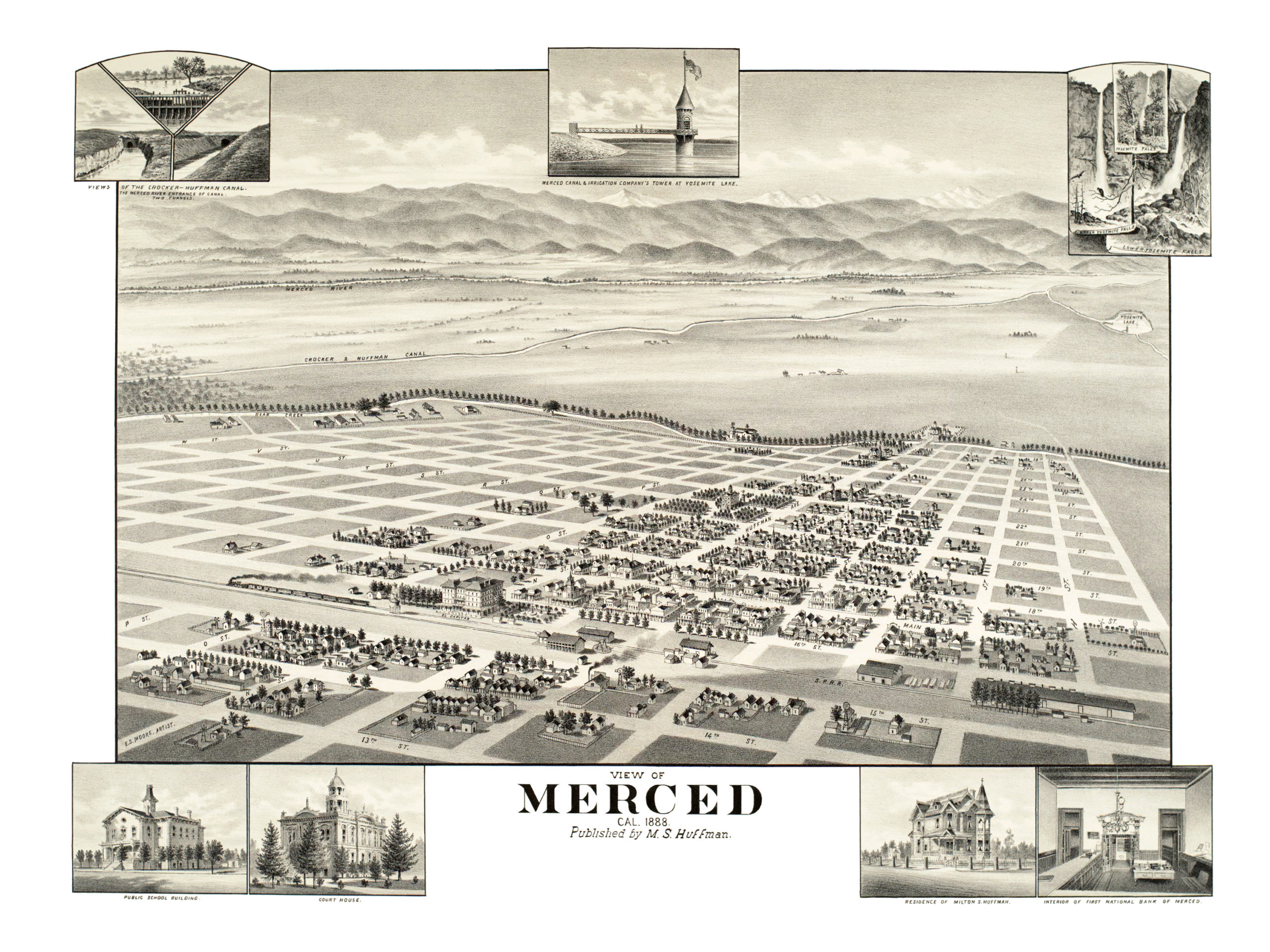
This map of Merced, California was created in 1888 by E.S. Moore, an artist who spent much of his career illustrating bird’s eye views of California towns. Moore captured the development of many Southern California towns shortly after they were settled as part of California’s gold rush.
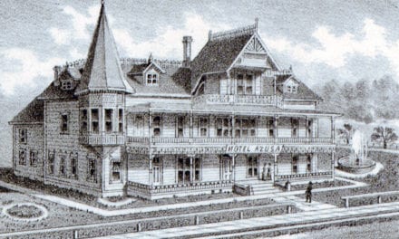
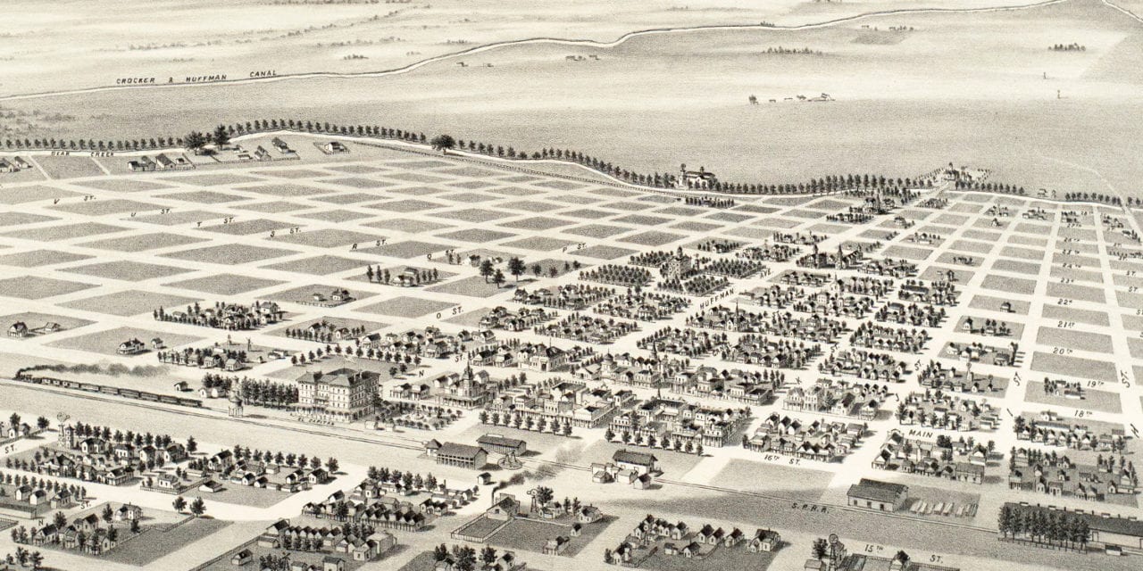
The map shows a bird’s eye view of Merced, CA as it looked toward the end of the 19th century. Landmarks on the map include Merced Court House, Public School, First National Bank of Merced, Bear Creek, and El Capitan Hotel.
Click here to see Merced, California in 1888.
Reproductions of the restored map are available here.
This old map of Merced, CA has been lovingly restored by the team at KNOWOL. Reproductions of the restored map are available on museum quality, archival paper to ensure that this piece of Merced history can be passed on to the next generation. Click here to get a copy of the map.