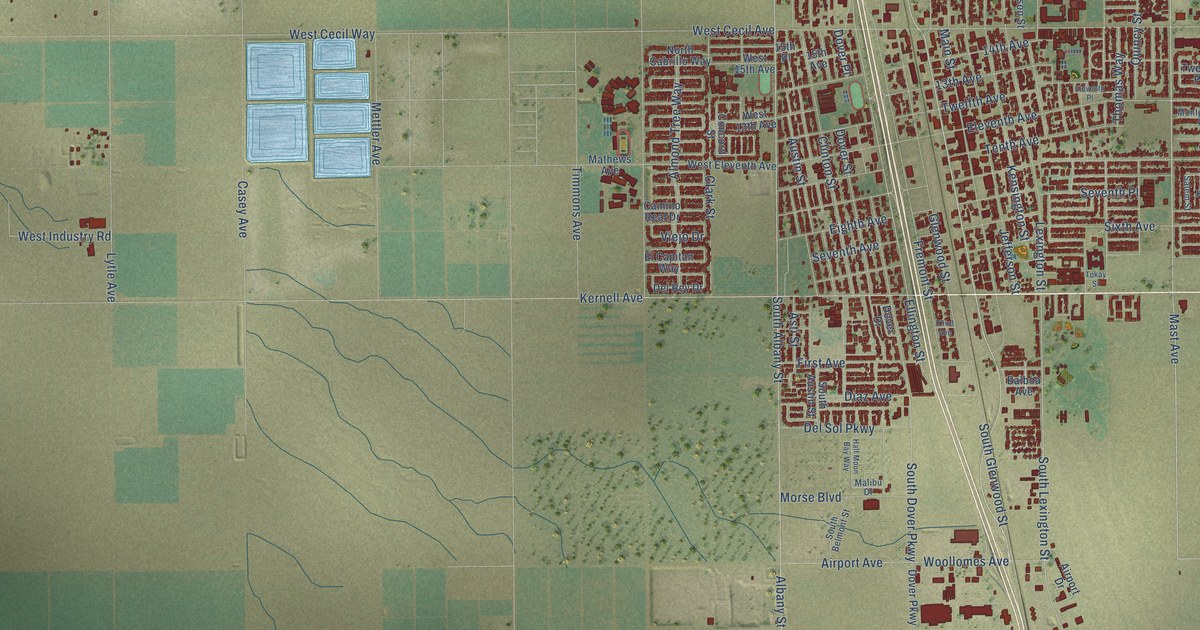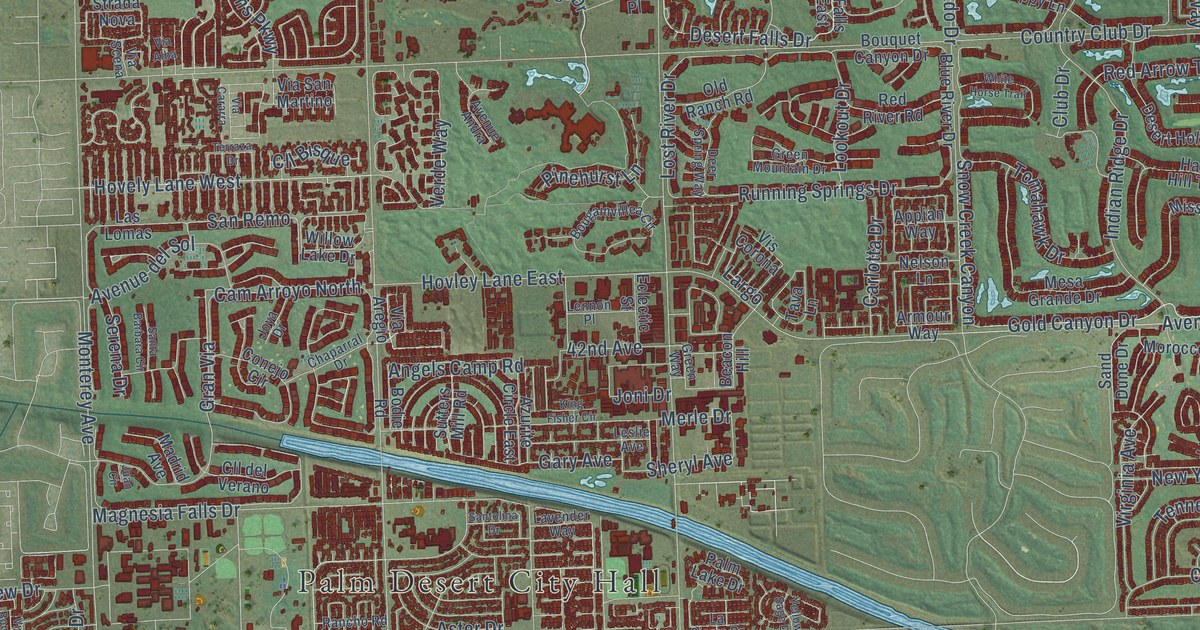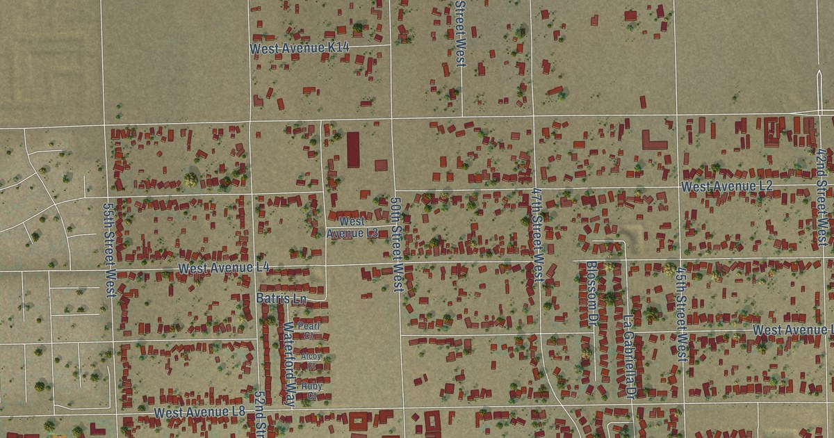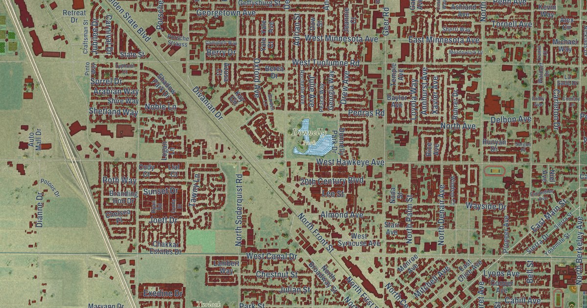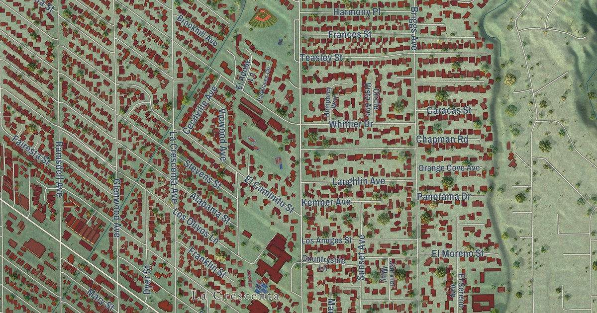
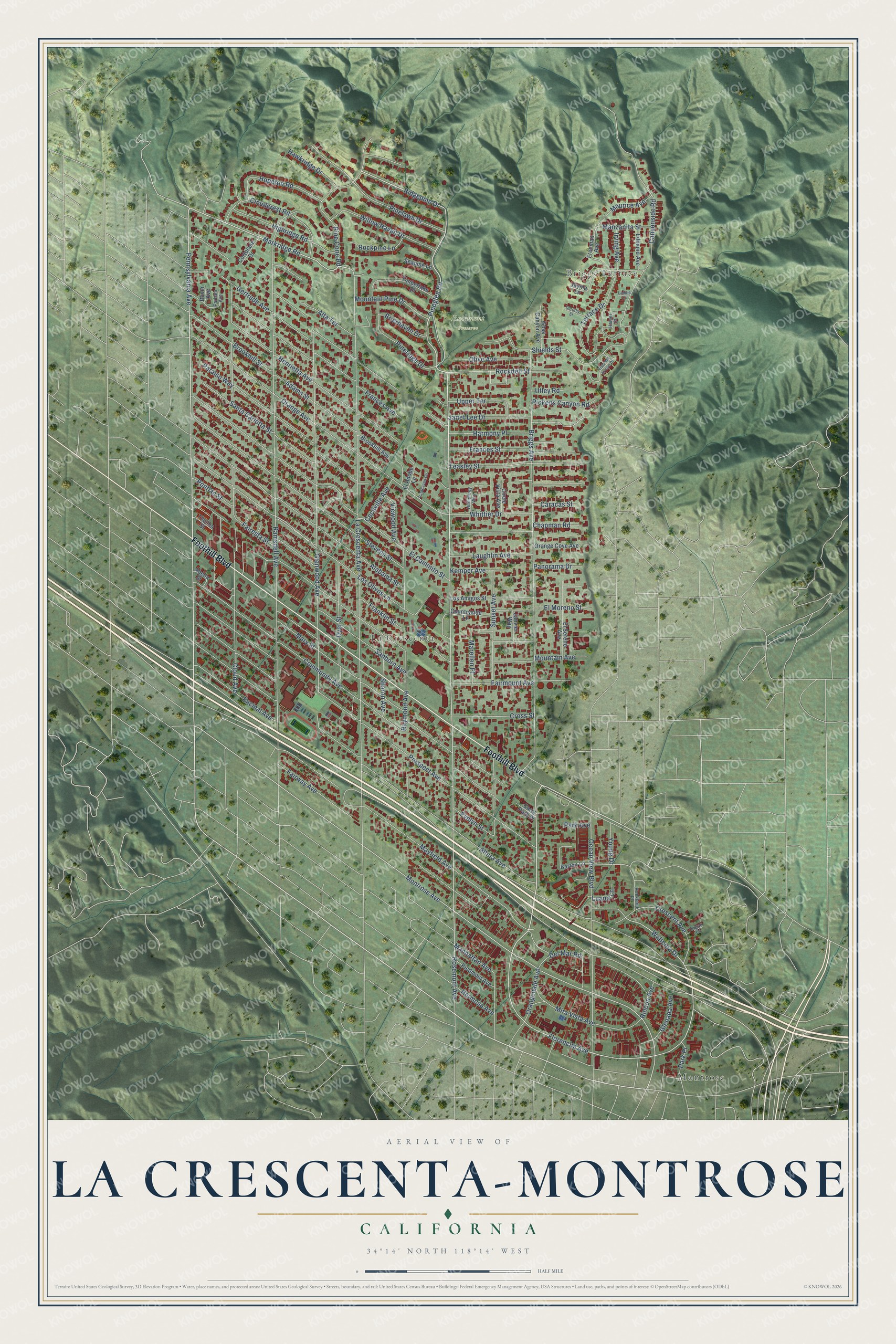
This beautifully detailed map of La Crescenta-Montrose, California was created in 2026 using aerial imagery combined with modern topographical, census, street and landmark data. It's a modern aerial view of La Crescenta-Montrose in Los Angeles County, California, that combines modern data with a vintage aesthetic. The roads feature printed names, and if you look closely you can find your exact house accurately shown in its correct location.
Explore an aerial view of La Crescenta-Montrose, California
On this map you'll find Montrose, Briggs Terrace, La Crescenta, Rosemont Preserve, Foothill Boulevard, Rosemont Avenue, Briggs Avenue, Pennsylvania Avenue, Pineglen Road, Pine Cone Road, Ridgepine Drive, Markridge Road, and more. Each red shape is a building, so zoom in on the preview and look for yours.
La Crescenta-Montrose is a community in Los Angeles County. The Census Bureau counted 19,997 people here in 2020. The map prints the town name in its title panel, with the coordinates below it.
Take a closer look at the La Crescenta-Montrose map
Names on this map
These names are printed on this map.
Places: Montrose, Briggs Terrace, La Crescenta and Rosemont Preserve.
Streets and roads: Foothill Boulevard, Rosemont Avenue, Briggs Avenue, Pennsylvania Avenue, Pineglen Road, Pine Cone Road, Ridgepine Drive, Markridge Road, Waltonia Drive, Florencita Avenue, Montrose Avenue, Cloud Avenue.
More street names, A to Z
Abella Street, Adams Street, Alabama Street, Alta Terrace, Altura Avenue, Barton Lane, Brierhaven Drive, Brookhill Avenue, Brookhill Street, Canyonside Road, Caracas Street, Carol Park Place, Cecilville Avenue, Chapman Road, Circle Vista Avenue, Cloudcrest Road, Community Avenue, Cortolane Drive, Countryside Lane, Crescent Avenue, Cross Street, Daver Avenue, Del Mar Road, Dorothy Street, Dyer Street, Edmund Avenue, El Adobe Lane, El Caminito Street, El Moreno Street, El Sereno Avenue, Encinal Avenue, Evelyn Street, Fairesta Street, Fairmount Avenue, Fairway Avenue, Frances Avenue, Frances Street, Franklin Street, Freeman Avenue, Gertrude Avenue, Glenada Avenue, Glenwood Avenue, Goss Canyon Avenue, Hamer Court, Harmony Place, Hawkridge Drive, Henrietta Avenue, Hermosa Avenue, Highridge Road, Hopeton Road, Humphrey Way, Irving Avenue, Janet Lee Drive, Janvier Way, Jayma Lane, Kemper Avenue, La Crescenta Avenue, Laddie Lane, Laughlin Avenue, Los Amigos Street, Los Olivos Lane, Luana Lane, Manhattan Avenue, Manzanita Street, Marellen Place, Mary Street, Maurice Avenue, Mayfield Avenue, Mira Vista Avenue, Mountain Avenue, Mountain Pine Drive, Ocean View Boulevard, Olive Avenue, Orange Avenue, Orange Cove Avenue, Orangedale Avenue, Organ Lane, Panorama Drive, Paraiso Way, Parham Avenue, Park Avenue, Parkhaven Circle, Park Place, Pickens Canyon Road, Piedmont Avenue, Pinelawn Drive, Pineridge Drive, Pontiac Street, Prospect Avenue, Ramsdell Avenue, Raymond Avenue, Rincon Avenue, Rockdell Street, Rockland Place, Rockpine Lane, Sanborn Avenue, Santa Carlotta Street, Seapine Lane, Sharon Avenue, Shields Street, Stevens Street, Sunset Avenue, Teasley Street, Terrace Drive, Thelma Street, Timberlake Drive, Upper Terrace, Utley Road, Vicwood Avenue, Vista del Arroyo Drive, Whittier Drive, Willow Haven Drive, Young Drive.
Created by KNOWOL in 2026. The buildings are small red shapes, the roads carry their printed names, and shaded relief shows the shape of the land. The title panel reads "AERIAL VIEW OF LA CRESCENTA-MONTROSE CALIFORNIA" with 34°14' NORTH 118°14' WEST.
It suits a den, a classroom or a front hall, and it makes a gift for anyone with La Crescenta-Montrose roots. Open the preview and find the block you know. See sizes and frames for the La Crescenta-Montrose map.