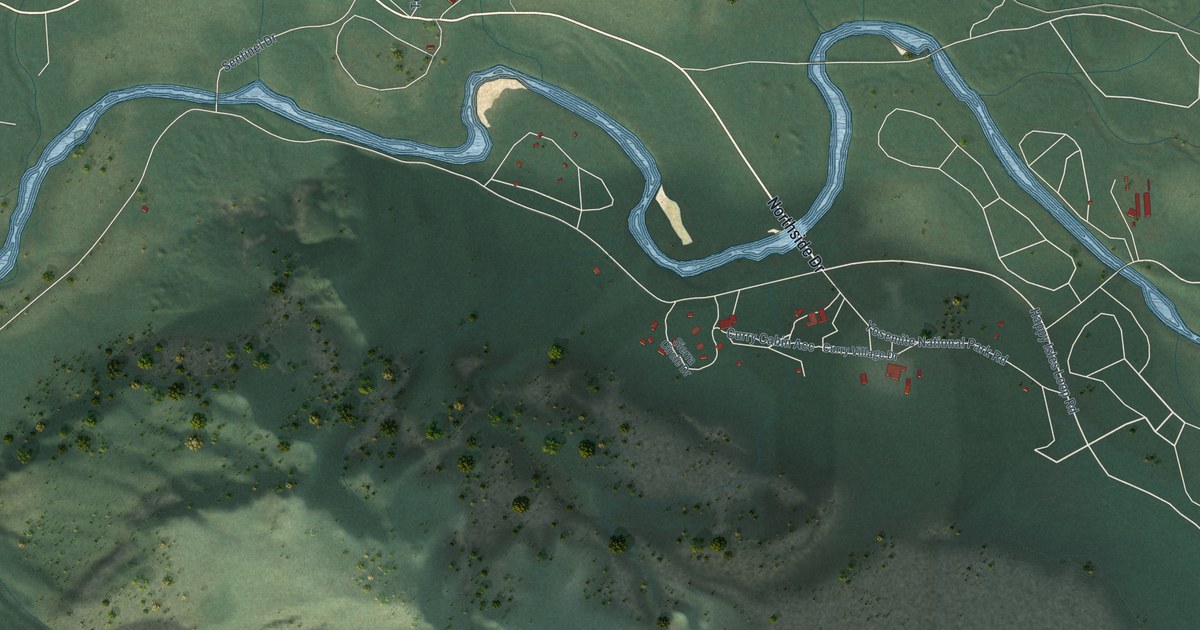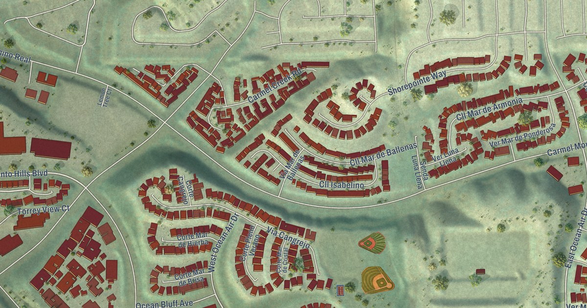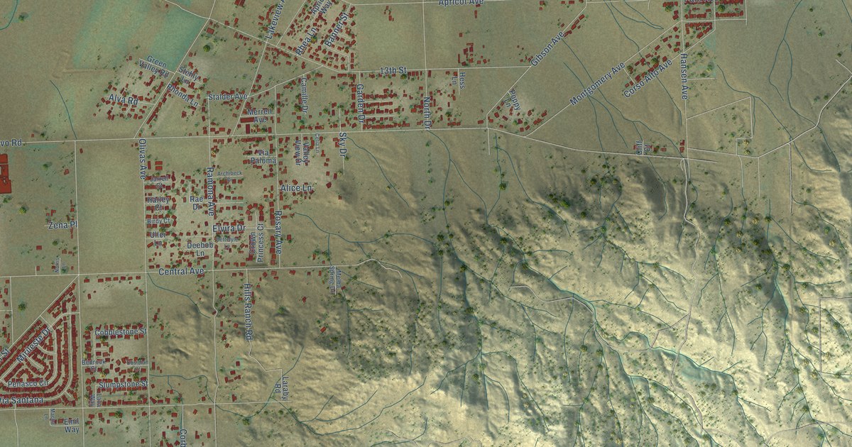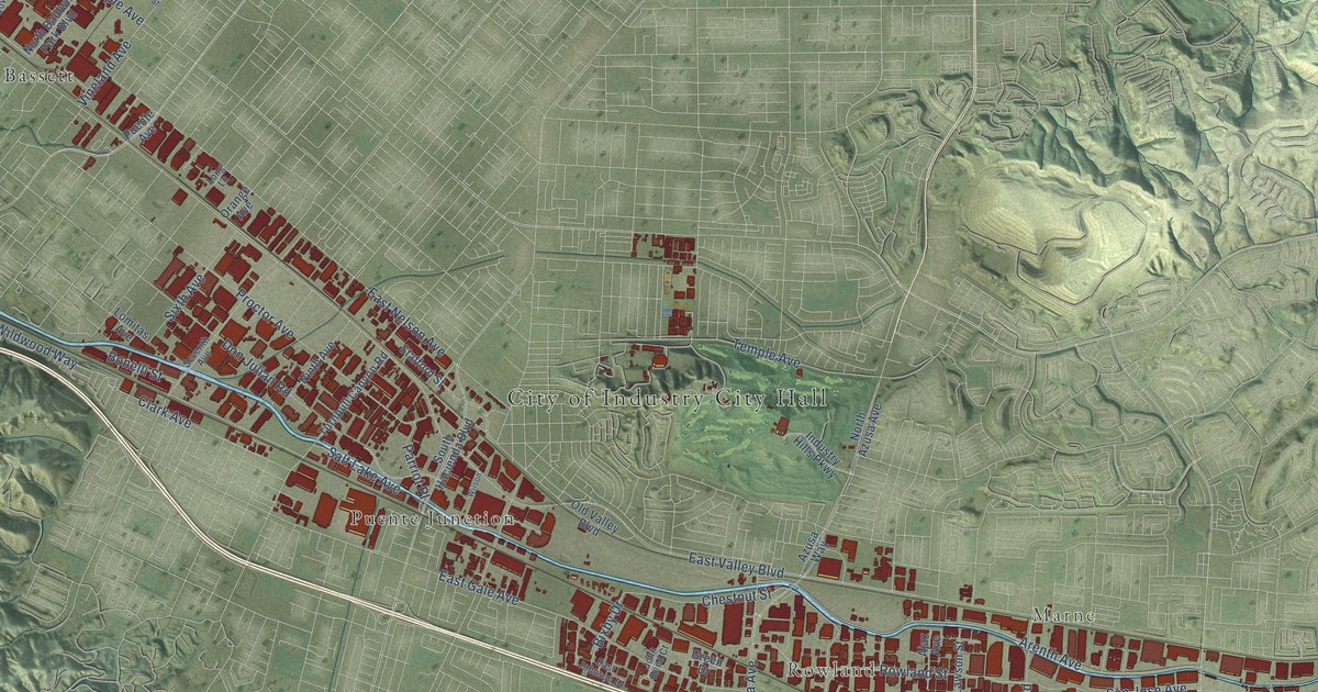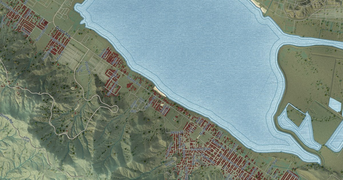
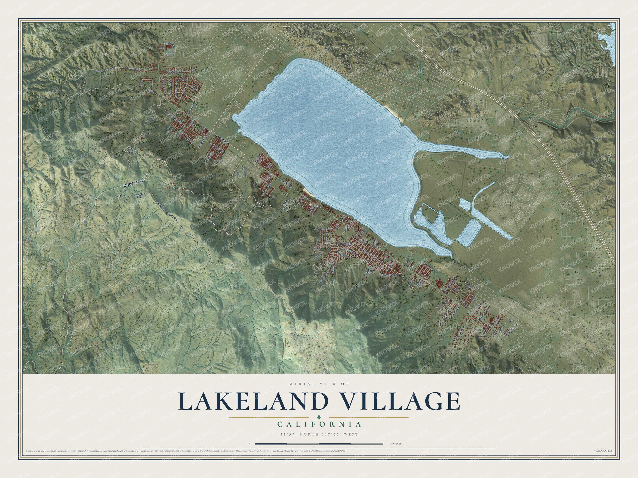
This beautifully detailed map of Lakeland Village, California was created in 2026 using aerial imagery combined with modern topographical, census, street and landmark data. It's a modern aerial view of Lakeland Village in Riverside County, California, that combines modern data with a vintage aesthetic. The roads feature printed names, and if you look closely you can find your exact house accurately shown in its correct location.
Explore an aerial view of Lakeland Village, California
On this map you'll find Ortega Highway, Toft Drive, Brightman Avenue, Akley Street, Hill, Encina Drive, Grand Avenue, South Main Divide Road, Stoneman Street, Skylark Drive, Laguna Avenue, Amorose Street, and more. Each red shape is a building, so zoom in on the preview and look for yours.
Lakeland Village is a community in Riverside County. The Census Bureau counted 12,364 people here in 2020. The map prints the town name in its title panel, with the coordinates below it.
Take a closer look at the Lakeland Village map
Names on this map
These names are printed on this map.
Streets and roads: Ortega Highway, Toft Drive, Brightman Avenue, Akley Street, Hill, Encina Drive, Grand Avenue, South Main Divide Road, Stoneman Street, Skylark Drive, Laguna Avenue, Amorose Street.
More street names, A to Z
Adelfa Street, Alvarado Street, Arbolado Lane, Audelo Street, Blanche Drive, Bonnie Lea Drive, Borchard Road, Brand Street, Brechtel Street, Brookstone Lane, Buena Vista Street, Burbank Drive, Case Street, Churchill Street, Coplasa Street, Corydon Street, Cottrell Boulevard, Curtis Avenue, Danny Lane, Darnell Drive, El Cariso Trail, Elena Drive, Eureka Street, Fairview Street, Follman Way, Garner Road, Gill Lane, Ginger, Grape Street, Greenwood Drive, Hayes Avenue, Heers Place, Hilldale Lane, Hillview Lane, Hollister Drive, Kathryn Way, Killen Road, Killen Tr Trail, Killon Trail, Koves Road, Lancashire Drive, Leach Canyon Road, Machado Street, Macy Street, Maiden Lane, Marie Drive, Mitchell Drive, Monty Court, Morrell Drive, Onorato Drive, Ontario Way, Oregon Street, Patsy Place, Perret Boulevard, Plumas Street, Raley Avenue, Riverside Drive, Rocking Horse Court, Rockridge Road, Rome Hill Road, Rose Avenue, Samuel Drive, Sanders Drive, Sangston Drive, Sarabia Street, Scales Way, Tempe Street, Trinity Way, Tule Way, Turner Street, Union Avenue, Union Street, Verda Place, Via Bonica, Via Caribia, Via Lakistas, Washington Street, Wood Street, Wride Street, Zellar Street, Zinck Way.
Created by KNOWOL in 2026. The buildings are small red shapes, the roads carry their printed names, and shaded relief shows the shape of the land. The title panel reads "AERIAL VIEW OF LAKELAND VILLAGE CALIFORNIA" with 33°39' NORTH 117°22' WEST.
It looks right in a kitchen, an office or a den, and it's a gift for anyone who grew up in Lakeland Village or moved away. Open the preview and find your street. See sizes and frames for the Lakeland Village map.