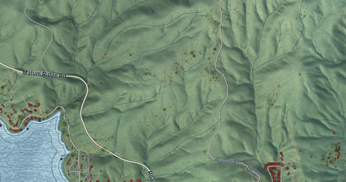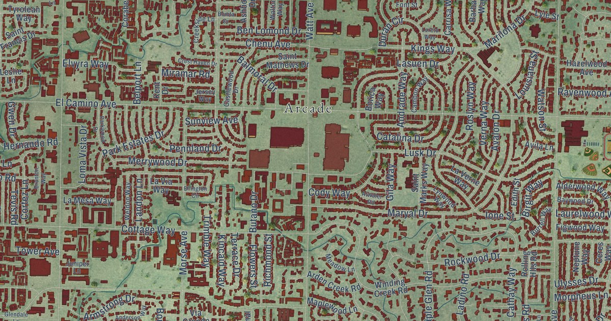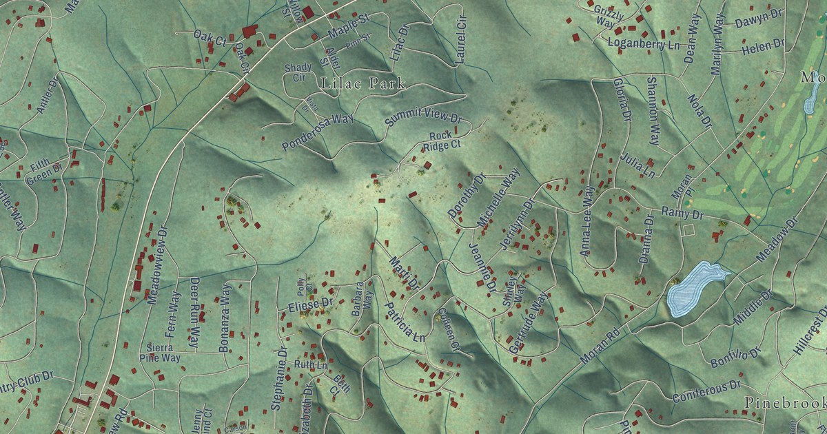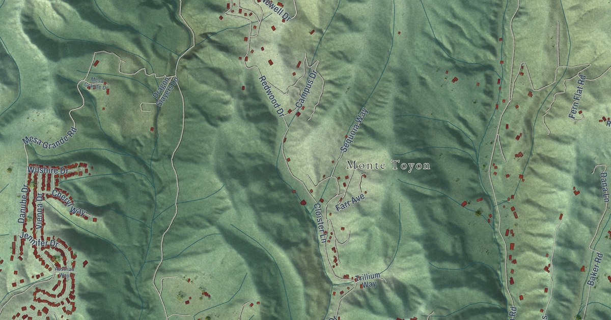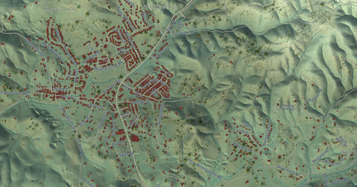
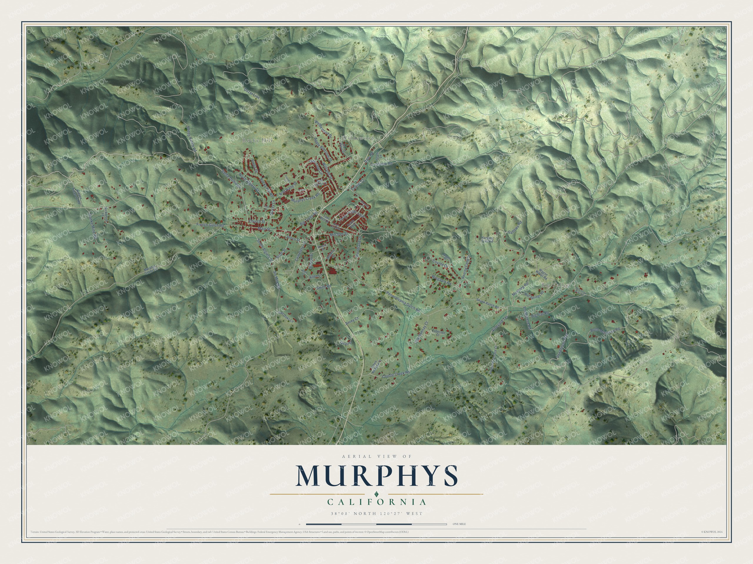
This beautifully detailed map of Murphys, California was created in 2026 using aerial imagery combined with modern topographical, census, street and landmark data. It's a modern aerial view of Murphys in Calaveras County, California, that combines modern data with a vintage aesthetic. The roads feature printed names, and if you look closely you can find your exact house accurately shown in its correct location.
Explore an aerial view of Murphys, California
On this map you'll find Big Valley, Rocky Hill, Wyldewood, Ponderosa Road, Butte Mountain Road, Dozer Line, South Algiers Street, Ponderosa Way, Scott Street, Murphys Creek Road, Coyote Creek Road, Santa Domingo, and more. Each red shape is a building, so zoom in on the preview and look for yours.
Every town has a first chapter, and Murphys is no exception. The record at ohp.parks.ca.gov puts it this way: "One of the principal mining communities in Calaveras County, Murphys was named for the discoverer of gold on the flat in 1849."
Murphys is a community in Calaveras County. The Census Bureau counted 1,995 people here in 2020.
Take a closer look at the Murphys map
Names on this map
These names are printed on this map.
Places: Big Valley, Rocky Hill and Wyldewood.
Streets and roads: Ponderosa Road, Butte Mountain Road, Dozer Line, South Algiers Street, Ponderosa Way, Scott Street, Murphys Creek Road, Coyote Creek Road, Santa Domingo, Sheep Ranch Road, Pennsylvania Gulch Road, French Gulch Road.
More street names, A to Z
Allen Court, Allen Lane, Anrey Court, Apple Blossom Drive, Big Flat Road, Big Trees Road, Black Bart Boulevard, Bret Harte Drive, Bret Harte Lane, Cabernet Court, Cemetery Lane, Chardonnay Court, Church Street, Cottage Circle, Coyote Drive, Crestview Road, Dam Road, Dutch Kate, Ernest Street, Fair Oaks Lane, Franke Mine Road, Friendly Court, Gallows Road, Gold Street, Grant Lane, Green Meadow Court, Hanging Tree Road, Hidden Treasure Road, Jones Street, Main Street, Mine Dump Butte Road, Mitchler Street, Mountain Jim, Murphys Grade Road, Mustang Road, Nickerson Lane, North Algiers Street, Nugget Drive, Oak Tree Circle, Quail Tl, Roaring Camp Drive, Rocky Hill Road, School Street, Six Mile Road, Skunk Ranch Road, Smith Road, Stella Drive, Surrey Lane, Sweet Water Drive, Tanner Court, Three Finger Jack, Tom Bell Drive, Vineyard Terrace, Vineyard Terrace Court, Wagon Wheel Road, Watkins Street, Wet Springs Road, Williams Street, Wingdam Road, Woodland Drive, Wyldewood Drive.
Created by KNOWOL in 2026. The buildings are small red shapes, the roads carry their printed names, and shaded relief shows the shape of the land. The title panel reads "AERIAL VIEW OF MURPHYS CALIFORNIA" with 38°08' NORTH 120°27' WEST.
Hang it in the hallway, the office or the cabin, or give it to someone who left Murphys and still calls it home. Open the preview and look for a street you know. See sizes and frames for the Murphys map.