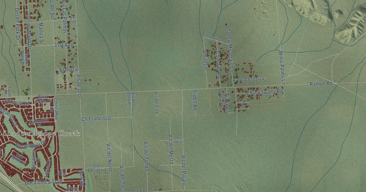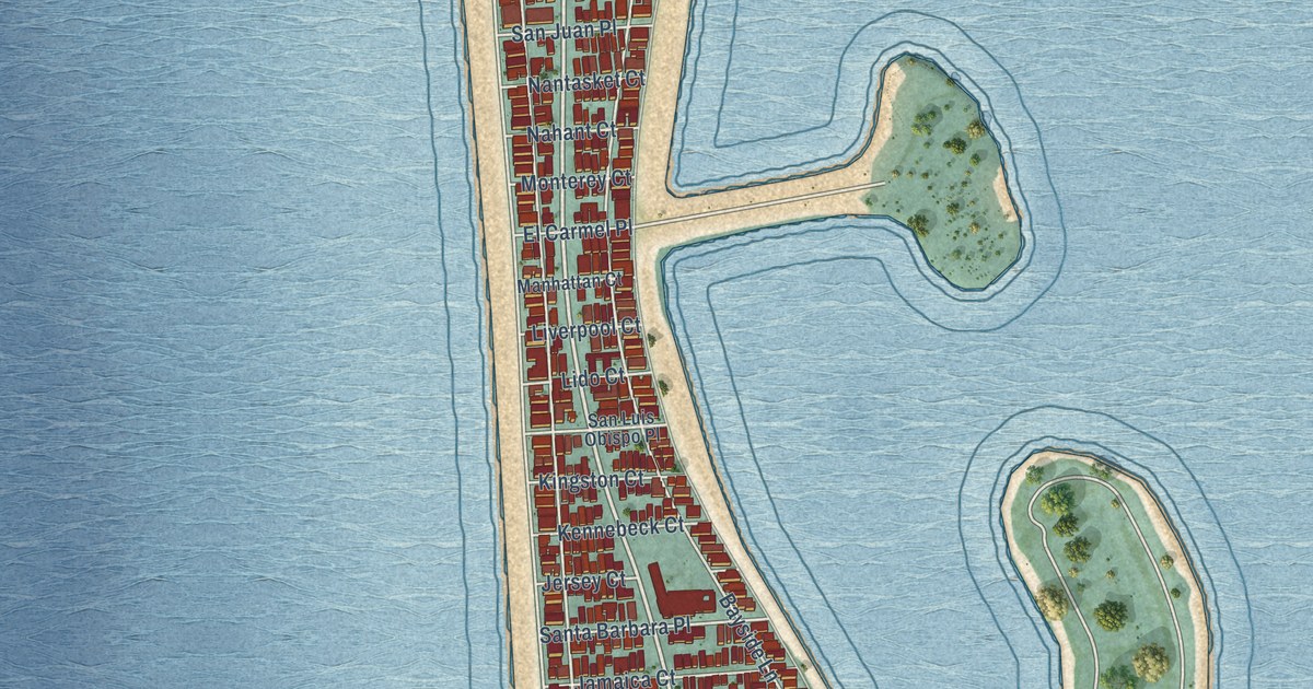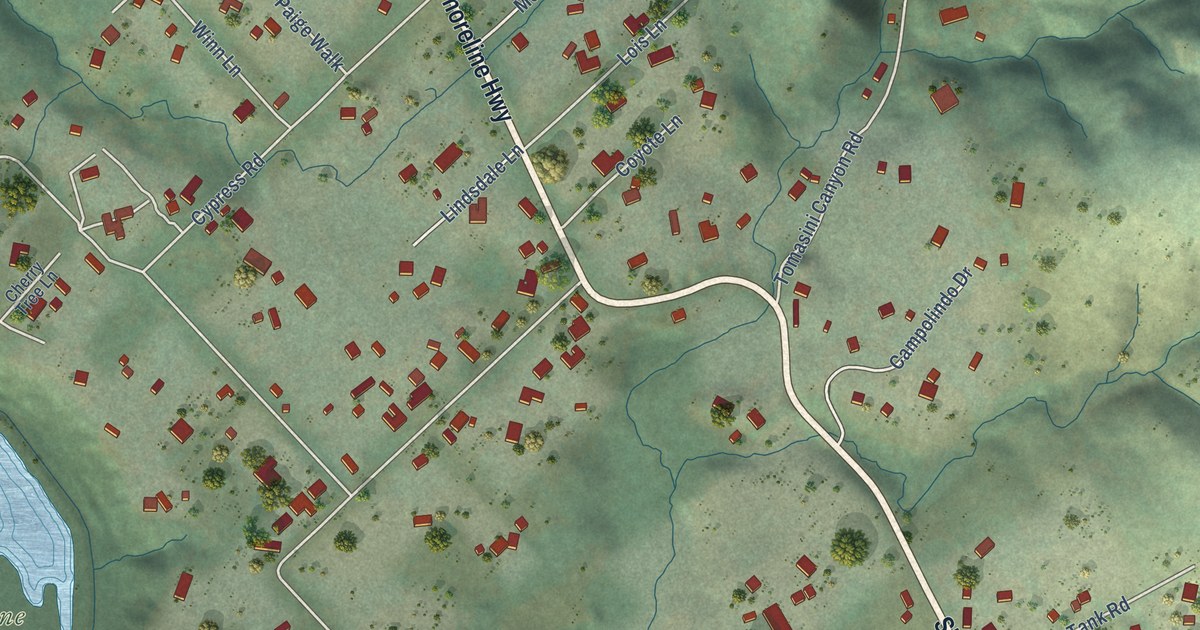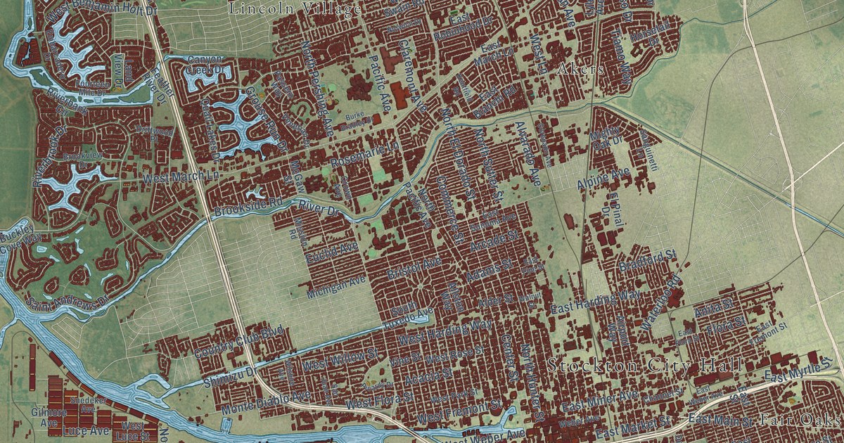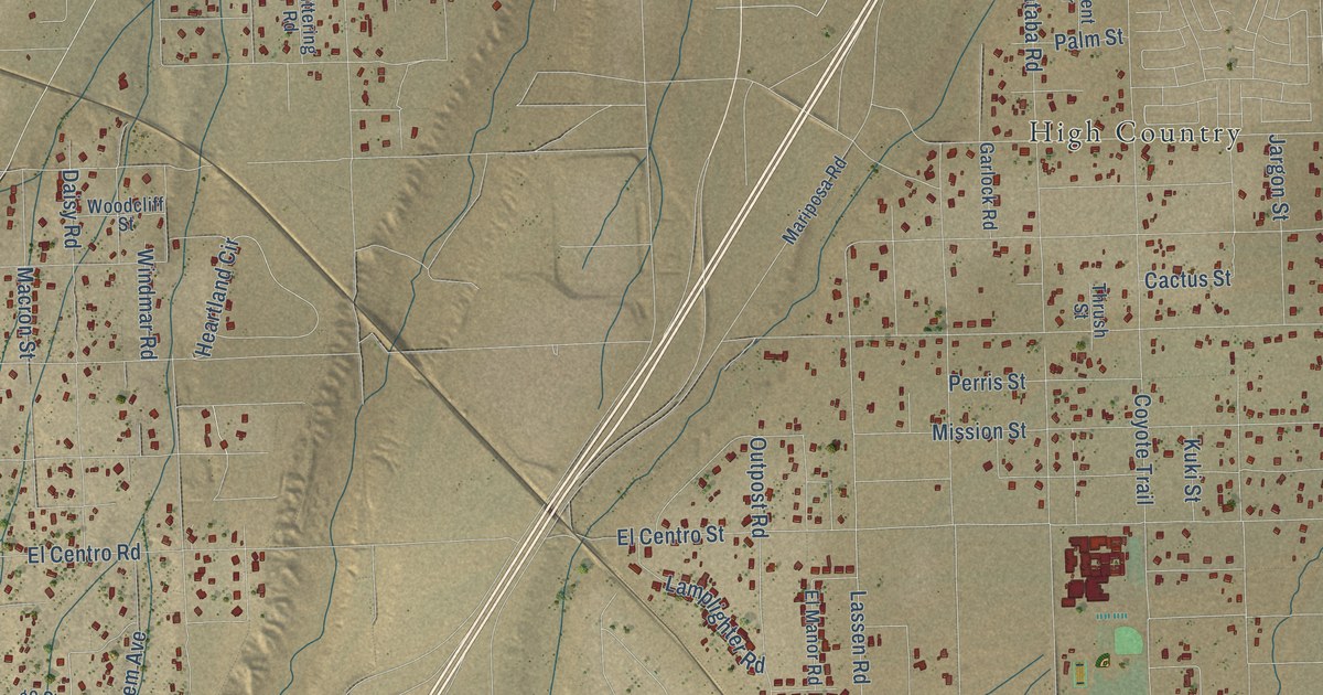
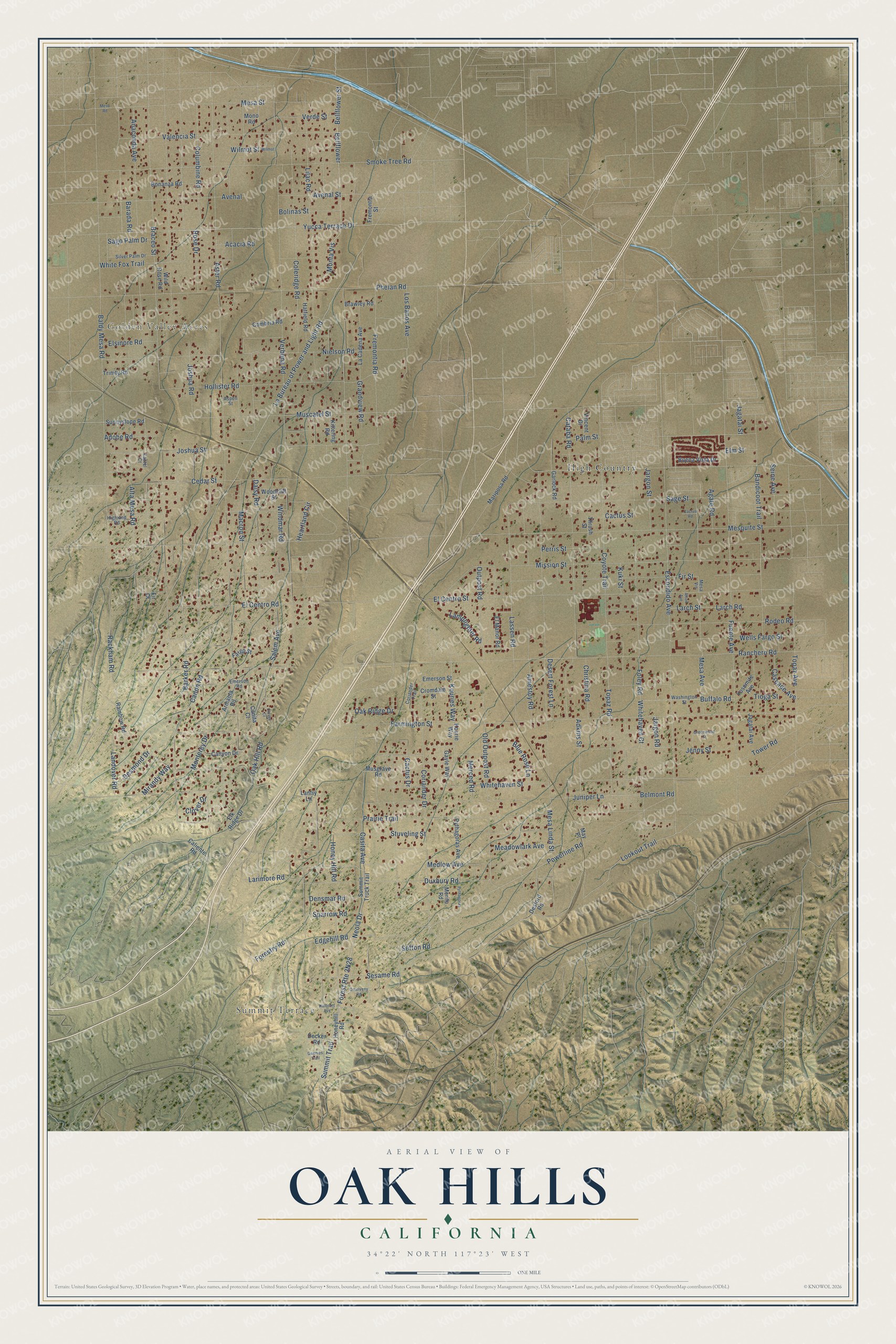
This beautifully detailed map of Oak Hills, California was created in 2026 using aerial imagery combined with modern topographical, census, street and landmark data. It's a modern aerial view of Oak Hills in San Bernardino County, California, that combines modern data with a vintage aesthetic. The roads feature printed names, and if you look closely you can find your exact house accurately shown in its correct location.
Explore an aerial view of Oak Hills, California
On this map you'll find Golden Valley Acres, Summit Terrace, High Country, Yucca Terrace Drive, Medlow Avenue, Powerline Road, Neola Drive, Summit Trail, Edgehill Road, Outpost Road, Forestry Road, Kouries Way, and more. Each red shape is a building, so zoom in on the preview and look for yours.
Oak Hills is a community in San Bernardino County. The Census Bureau counted 9,450 people here in 2020. The map prints the town name in its title panel, with the coordinates below it.
Take a closer look at the Oak Hills map
Names on this map
These names are printed on this map.
Places: Golden Valley Acres, Summit Terrace and High Country.
Streets and roads: Yucca Terrace Drive, Medlow Avenue, Powerline Road, Neola Drive, Summit Trail, Edgehill Road, Outpost Road, Forestry Road, Kouries Way, Sefton Road, Aster Road, Lookout Trail.
More street names, A to Z
Acacia Road, Adkins Street, Adobe Road, Afton Avenue, Agate Road, Alta Mesa Road, Amestoy Road, Anaconda Avenue, Armanta Road, Aspen Street, Avenal, Avenal Street, Baldy Mesa Road, Bandicoot Trail, Barada Road, Barker Road, Bellflower, Bellflower Street, Belmont Road, Blue Rose Lane, Bolinas Street, Bonanza Road, Braceo Street, Brawley Road, Buena Vista Drive, Buffalo Road, Cactus Drive, Cactus Road, Cactus Street, Caliente Road, Cambria Road, Canita Court, Canon Road, Cantel Court, Canyon Drive, Cascade Avenue, Casita Avenue, Cataba Road, Cedar Street, Christina Road, Clover Court, Clover Drive, Coleridge Road, Columbine Road, Coriander Drive, Coriander Trail, Coyote Trail, Cromdale Street, Daisy Road, Decker Road, Densmar Road, Desert Forest Lane, Desford Road, Desmond Drive, Duxbury Road, El Centro Road, El Centro Street, Elk Ridge Drive, El Manor Road, Elm Street, Elsinore Road, Emerson Road, Emerson Street, Escondido Avenue, Fargo Street, Farmington Street, Fir Court, Fir Street, Foley Road, Fremontia Road, Fremontia Street, Fuente Avenue, Garlock Road, Gayle Way, Geenies Trail, Grandview Road, Greenwood Street, Halbrent Avenue, Hatfield Road, Heartland Circle, Highland Road, Hollister Road, Honey Hill Road, Honeyhill Road, Jagatai Avenue, Jagatai Street, Jargon Road, Jargon Street, Jenny Street, Joshua Road, Joshua Street, Juniper Lane, Kittering Road, Kourie Way, Kuki Street, La Bureau of Power and Light Road, La Cadena Avenue, Lamplighter Road, Landover Road, Lantry Lane, Larch Road, Larch Street, Larimore Road, Lassen Road, Lilac Road, Los Banos Avenue, Macron Street, Mariposa Road, May Place, Meadowlark Avenue, Merced Road, Merito Road, Mesa Avenue, Mesa Linda Street, Mesa Road, Mesa Street, Mesa Vis, Mesquite Street, Mirandy Way, Mission Street, Mono Road, Monta Vis, Monterey Drive, Muscatel Street, Musgrave Road, Nielson Road, Oak Hill Road, Oak Ridge Drive, Old Outpost Road, Omelveny Road, Palm Street, Perris Street, Phelan Road, Prairie Trail, Pythagoras, Pythagoras Avenue, Rackham Road, Rainbow Road, Ranchero Road, Rodeo Road, Rose Drive, Sage Street, Sago Palm Drive, Salem Avenue, Seine Avenue, Sesame Road, Silver Palm Drive, Smoke Tree Road, Sparrow Road, Stuveling Street, Summit Truck Trail, Sunnyslope Road, Thrush Street, Tioga Street, Topaz Avenue, Topaz Road, Tower Road, Trinity Road, Valencia Street, Verbena Road, Verde Street, Vincent Drive, Washington Street, Wells Fargo Street, White Fox Trail, Whitehaven Court, Whitehaven Street, Wild Rose Road, Wilmot, Wilmot Street, Windmar Road, Woodcliff Street, Yosemite Avenue.
Created by KNOWOL in 2026. The buildings are small red shapes, the roads carry their printed names, and shaded relief shows the shape of the land. The title panel reads "AERIAL VIEW OF OAK HILLS CALIFORNIA" with 34°22' NORTH 117°23' WEST.
It suits a den, a classroom or a front hall, and it makes a gift for anyone with Oak Hills roots. Open the preview and find the block you know. See sizes and frames for the Oak Hills map.