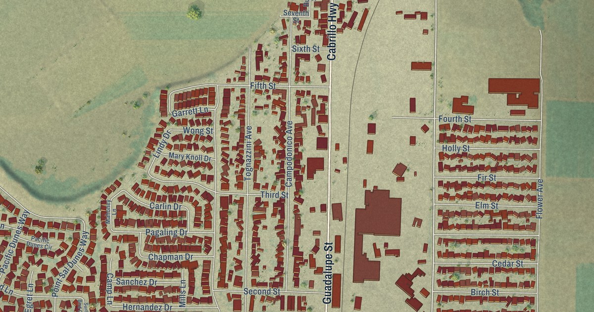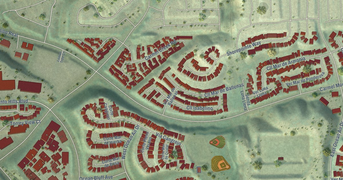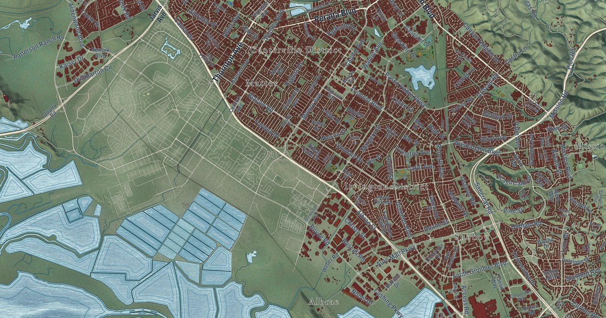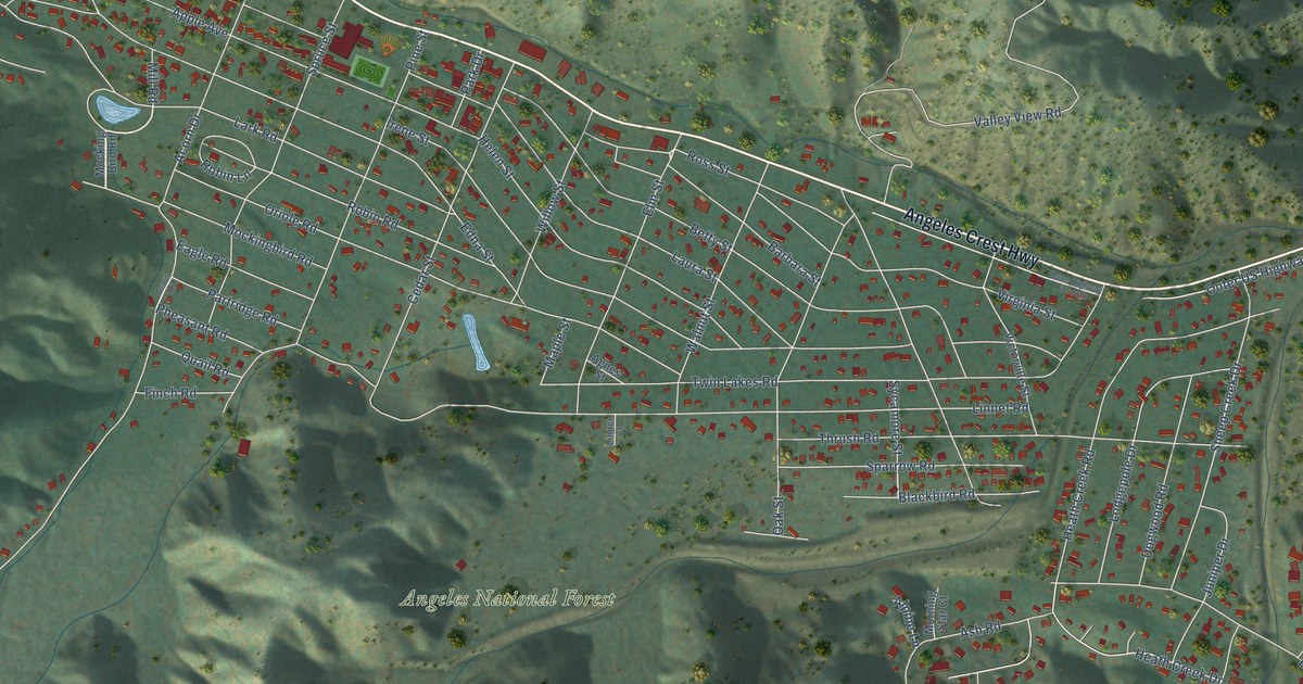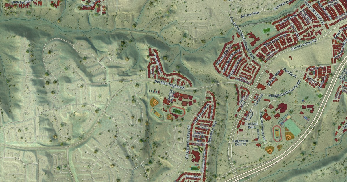
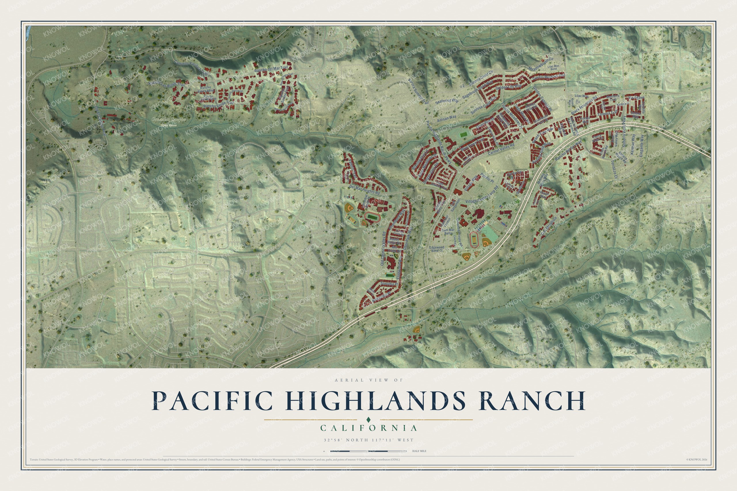
This beautifully detailed map of Pacific Highlands Ranch, California was created in 2026 using aerial imagery combined with modern topographical, census, street and landmark data. It's a modern aerial view of Pacific Highlands Ranch in San Diego County, California, that combines modern data with a vintage aesthetic. The roads feature printed names, and if you look closely you can find your exact house accurately shown in its correct location.
Explore an aerial view of Pacific Highlands Ranch, California
On this map you'll find Gonzales Canyon Open Space, Carmel Valley Road, Briarcrest Place, Carita Cv, Black Mountain Road, Rancho del Sol Way, Ginger Glen Road, Autumn Gold Way, Solterra Vista Parkway, Summit Crest Circle, Deer Park Way, Aurora Summit Trail, and more. Each red shape is a building, so zoom in on the preview and look for yours.
Here is a piece of Pacific Highlands Ranch history, in the words of the record. The City of San Diego puts it this way: "In November 1998, voters approved Proposition M, which approved an amendment to the City's General Plan to allow a phase shift within Pacific Highlands Ranch from Future Urbanizing to Planned Urbanizing."
Pacific Highlands Ranch is a place in San Diego County.
Take a closer look at the Pacific Highlands Ranch map
Names on this map
These names are printed on this map.
Places: Gonzales Canyon Open Space.
Streets and roads: Carmel Valley Road, Briarcrest Place, Carita Cv, Black Mountain Road, Rancho del Sol Way, Ginger Glen Road, Autumn Gold Way, Solterra Vista Parkway, Summit Crest Circle, Deer Park Way, Aurora Summit Trail, Rancho Verde Trail.
More street names, A to Z
Aliso Valley Way, Artisan Way, Aster Meadows Place, Belleza Ranch Road, Blazing Star Lane, Blue Dawn Trail, Bolero Way, Caminito Pacifica Trail, Cam Mar Bella, Cam Rioja, Cam San Fermin, Cam Santander, Cantare Trail, Cape Jewels Trail, Cathedral North Place, Centella Way, Chambord Way, Cielo Ranch Road, Cmt Mendiola, Cypress Meadows Trail, Del Mar Heights Road, Dogwood Way, Edgewood Bend Court, Elegante Way, El Presidio Trail, Flintwood Way, Foxtail Way, Golden Cypress Place, Golden Lily Way, Kenmar Way, La Porta Point, Lilac Court, Lilac Mist Bend, Lilac Way, Lopelia Meadows Place, Marguerite Creek Way, Meadowbrush Circle, Mill Creek Road, Monterra Trail, Montez Villa Road, Morning Glory Way, Nadinia Place, Old Carmel Valley Road, Old El Camino Real, Pacific Highlands Ranch Parkway, Pacific Place, Peach Tree Way, Peach Way, Petunia Avenue, Porter Creek Road, Quail Run Street, Rabbit Ridge Road, Rancho del Mar Trail, Rancho Laguna Bend, Rancho Las Brisas Trail, Rancho Quinta Bend, Rancho Santa Fe Farms Road, Rancho Sierra Bend, Rancho Solana Trail, Rancho Tierra Trail, Rancho Vista Bend, Roselle Meadows Trail, Sagebrush Bend Way, Sage Mesa Road, Seafaring Way, Selena Way, Shasta Daisy Trail, Silverbush Creek Street, Sonoma Place, Sunrose Crest Way, Sunstone Point, Terrazzo Court, Tierra Vista Circle, Tiki Court, Torenia Trail, Unnamed Private Road, Valerio Trail, Verda Lane, Via Agave, Village Center Loop Road, Village Way, White Oak Lane, Zinnia Hills Place.
Created by KNOWOL in 2026. The buildings are small red shapes, the roads carry their printed names, and shaded relief shows the shape of the land. The title panel reads "AERIAL VIEW OF PACIFIC HIGHLANDS RANCH CALIFORNIA" with 32°58' NORTH 117°11' WEST.
It suits a den, a classroom or a front hall, and it makes a gift for anyone with Pacific Highlands Ranch roots. Open the preview and find the block you know. See sizes and frames for the Pacific Highlands Ranch map.