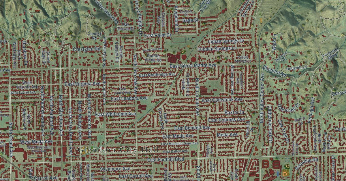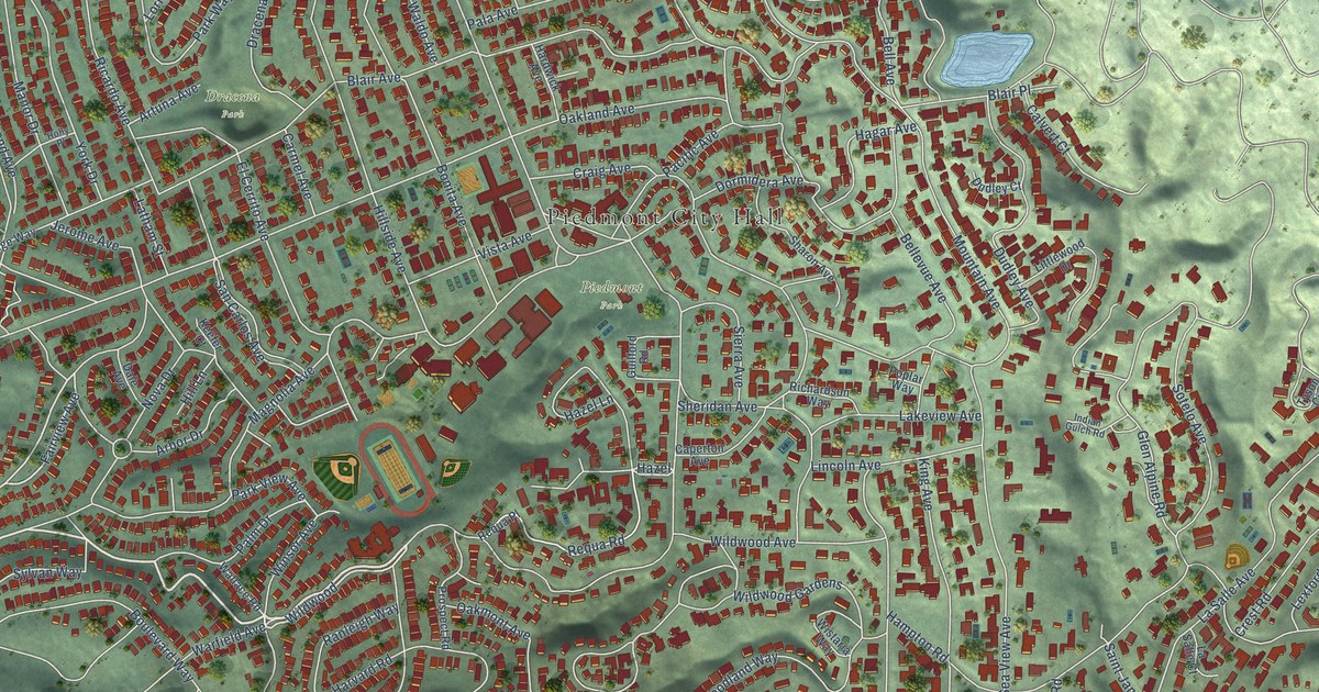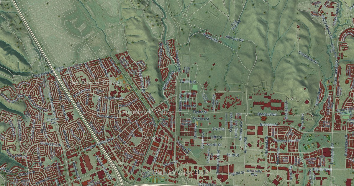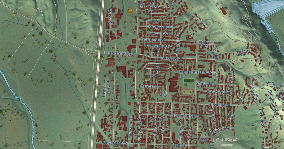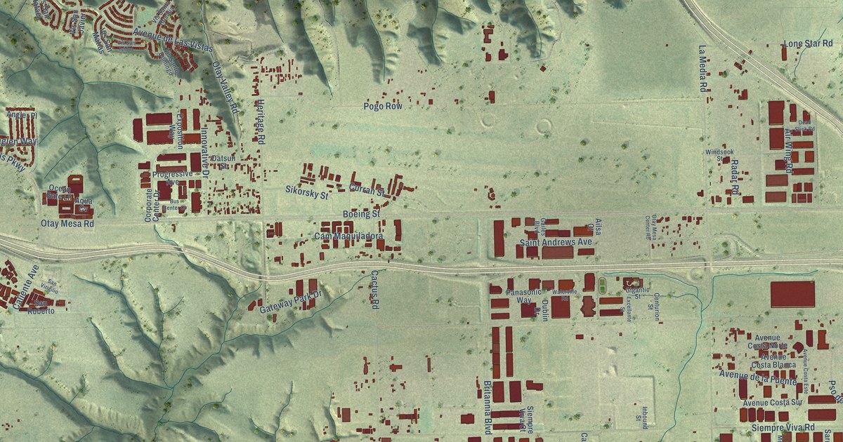
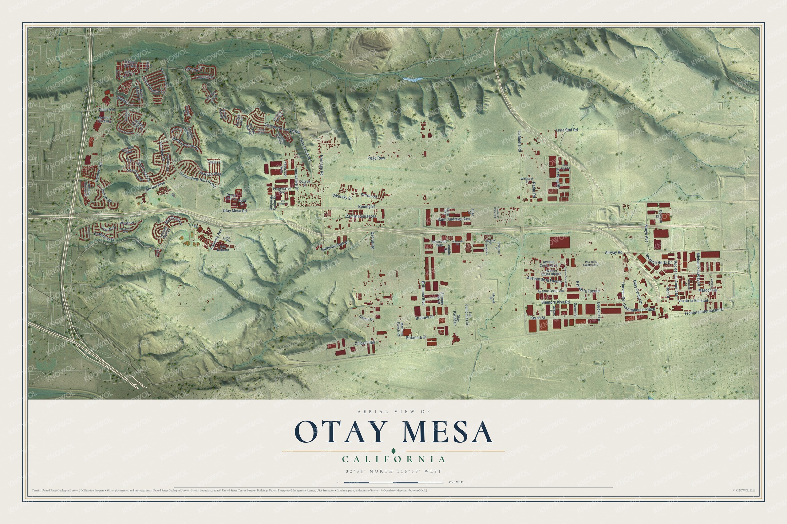
This beautifully detailed map of Otay Mesa, California was created in 2026 using aerial imagery combined with modern topographical, census, street and landmark data. It's a modern aerial view of Otay Mesa in San Diego County, California, that combines modern data with a vintage aesthetic. The roads feature printed names, and if you look closely you can find your exact house accurately shown in its correct location.
Explore an aerial view of Otay Mesa, California
On this map you'll find Otay Mesa Road, Ocean View Hills Parkway, Saint Andrews Avenue, Airway Road, La Media Road, Siempre Viva Road, Dennery Road, Pogo Row, Heritage Road, Britannia Boulevard, Cactus Road, Avenue de Las Vistas, and more. Each red shape is a building, so zoom in on the preview and look for yours.
Every town has a first chapter, and Otay Mesa is no exception. The City of San Diego puts it this way: "While several families continued to farm on Otay Mesa, the Army and Navy began to use a large part of the mesa as training grounds for pilots."
Otay Mesa is a place in San Diego County.
Take a closer look at the Otay Mesa map
Names on this map
These names are printed on this map.
Streets and roads: Otay Mesa Road, Ocean View Hills Parkway, Saint Andrews Avenue, Airway Road, La Media Road, Siempre Viva Road, Dennery Road, Pogo Row, Heritage Road, Britannia Boulevard, Cactus Road, Avenue de Las Vistas.
More street names, A to Z
Ailsa Court, Air Wing Road, Anchor Cv, Angler Place, Aqua Cv, Avenue Costa Blanca, Avenue Costa Este, Avenue Costa Norte, Avenue Costa Sur, Avenue de la Fuente, Ballast Lane, Bay Crest Lane, Black Coral Way, Boeing Street, Bristow Court, Britannia Court, Bus Center Court, Cactus Court, Caliente Avenue, Cam Maquiladora, Carbine Way, Centurion Street, Cimarron Way, Cll de Linea, Corporate Center Drive, Curran Street, Customhouse Plaza, Datsun Street, Dead Stick Road, Del Sol Bl, Del Sol Boulevard, Dornoch Court, Drucker Lane, Dublin Drive, Excellante Street, Exposition Way, Falconhurst Terrace, Frontera Internacional, Gailes Boulevard, Gateway Park Drive, Gigantic Street, Golden Sands Place, Golden Sky Way, Harvest Road, Heinrich Hertz Drive, Inbound Street, Innovative Drive, Island Breeze Lane, Kentmere Terrace, Kerns Street, Las Californias Drive, Lemat Place, Lone Star Road, Marconi Court, Marconi Drive, Marconi Place, Mariner Drive, Marsh Harbor Drive, Martinez Ranch Road, Masterson Lane, Melksee Street, Michael Faraday Drive, Ocean Gate Lane, Ocean Mist Place, Otay Center Drive, Otay Mesa Center Road, Otay Pacific Drive, Otay Valley Road, Palm Avenue, Panasonic Way, Parsons Landing, Progressive Avenue, Pso de la Fuente, Pso de la Fuente North, Pso de Las Americas, Radar Road, Regatta Lane, Riviera Shores Street, Roll Drive, Saltaire Place, San Roberto, San Virigilio, Sanyo Avenue, Sarnen Street, Sea Bird Way, Sea Coral Drive, Seaglen Way, Sea Reef Drive, Sea Water Lane, Siempre Viva Court, Sikorsky Street, Sunrise Bluff Drive, Surf Crest Drive, Surfwood Lane, Topsail Drive, Topside Lane, Via de la Amistad, Vis San Isidro, Vis San Javier, Vis San Lucas, Vis San Matias, Vis San Rafael, Vis Santa Rosalia, Vis Santo Domingo, Walmart Driveway, Waterville Road, Westport View Drive, Windsock Street, Wind Surf Way, Wyatt Place.
Created by KNOWOL in 2026. The buildings are small red shapes, the roads carry their printed names, and shaded relief shows the shape of the land. The title panel reads "AERIAL VIEW OF OTAY MESA CALIFORNIA" with 32°34' NORTH 116°59' WEST.
Hang it in the hallway, the office or the cabin, or give it to someone who left Otay Mesa and still calls it home. Open the preview and look for a street you know. See sizes and frames for the Otay Mesa map.