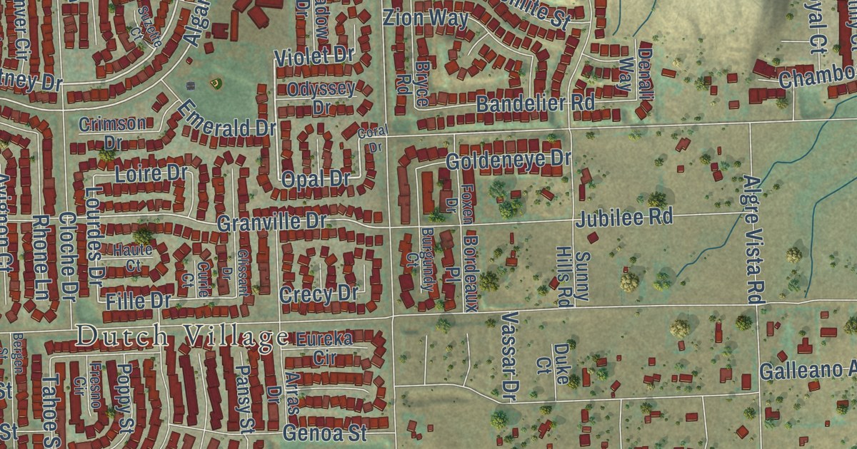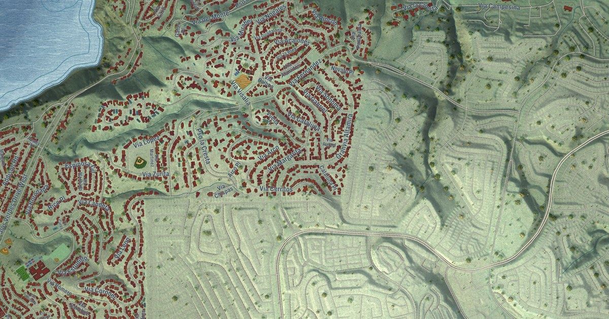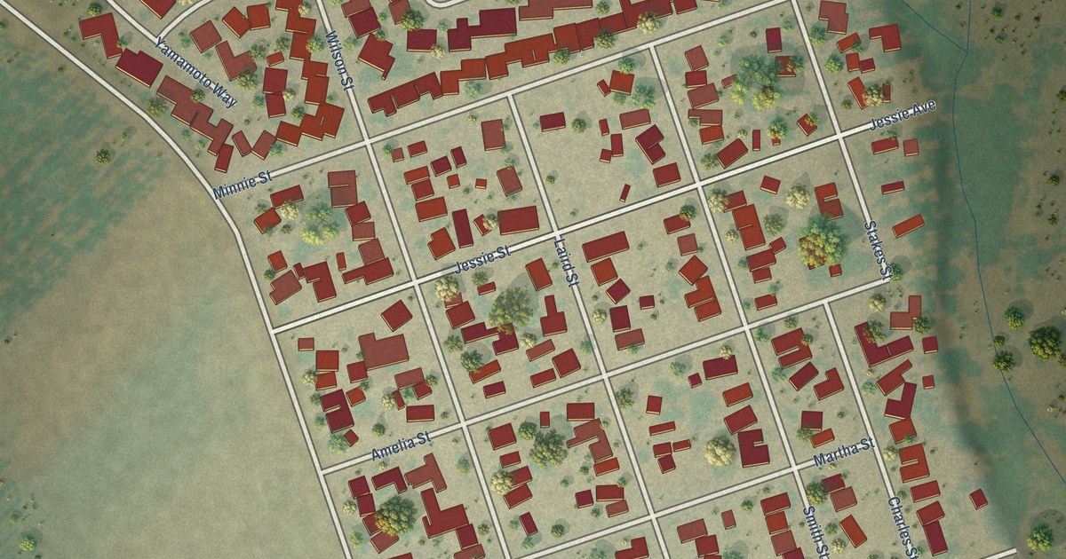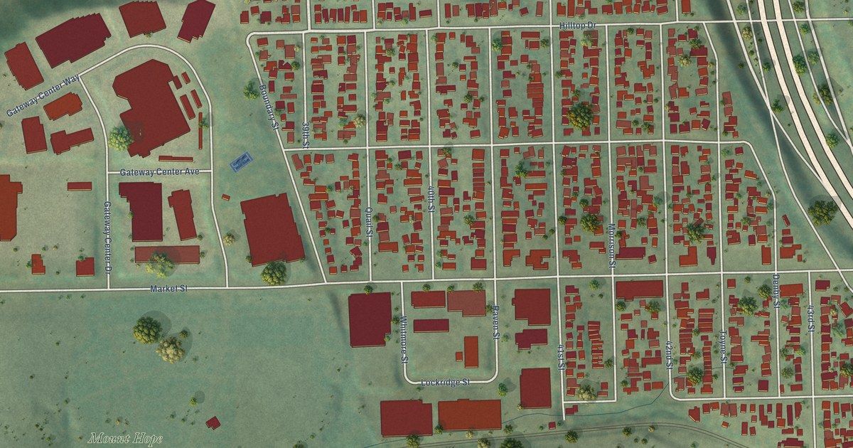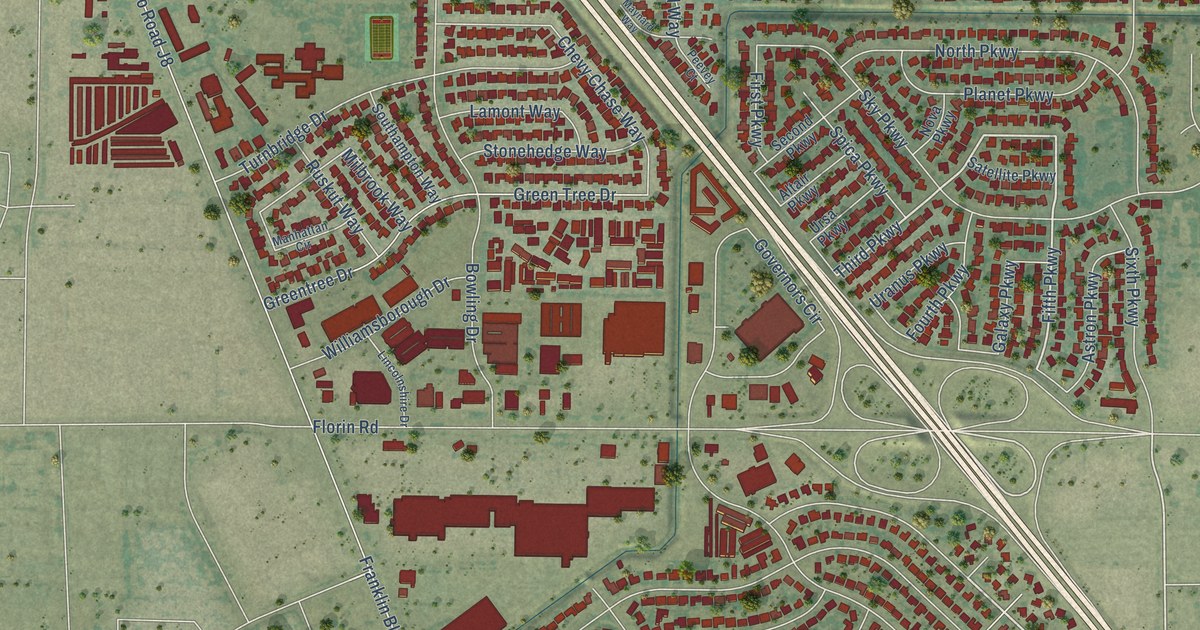
This beautifully detailed map of Parkway, California was created in 2026 using aerial imagery combined with modern topographical, census, street and landmark data. It’s a one-of-a-kind view of Parkway that combines accurate data with a vintage aesthetic. The map shows every building in its true location, many of the roads carry their names, and the shaded topographic relief shows the shape of the land.
Explore an aerial view of Parkway, California
On the map you’ll find South Sacramento, Nicholas Park, and Cordova, along with Circle Parkway, Center Parkway, Third Parkway, Fifth Parkway, Franklin Boulevard, 53rd Avenue, 47th Avenue, County Road J8, East Parkway, and more. If you look closely you can even find your house accurately drawn in its correct location. Zoom in on the preview to look for yours.
Take a closer look at the Parkway map
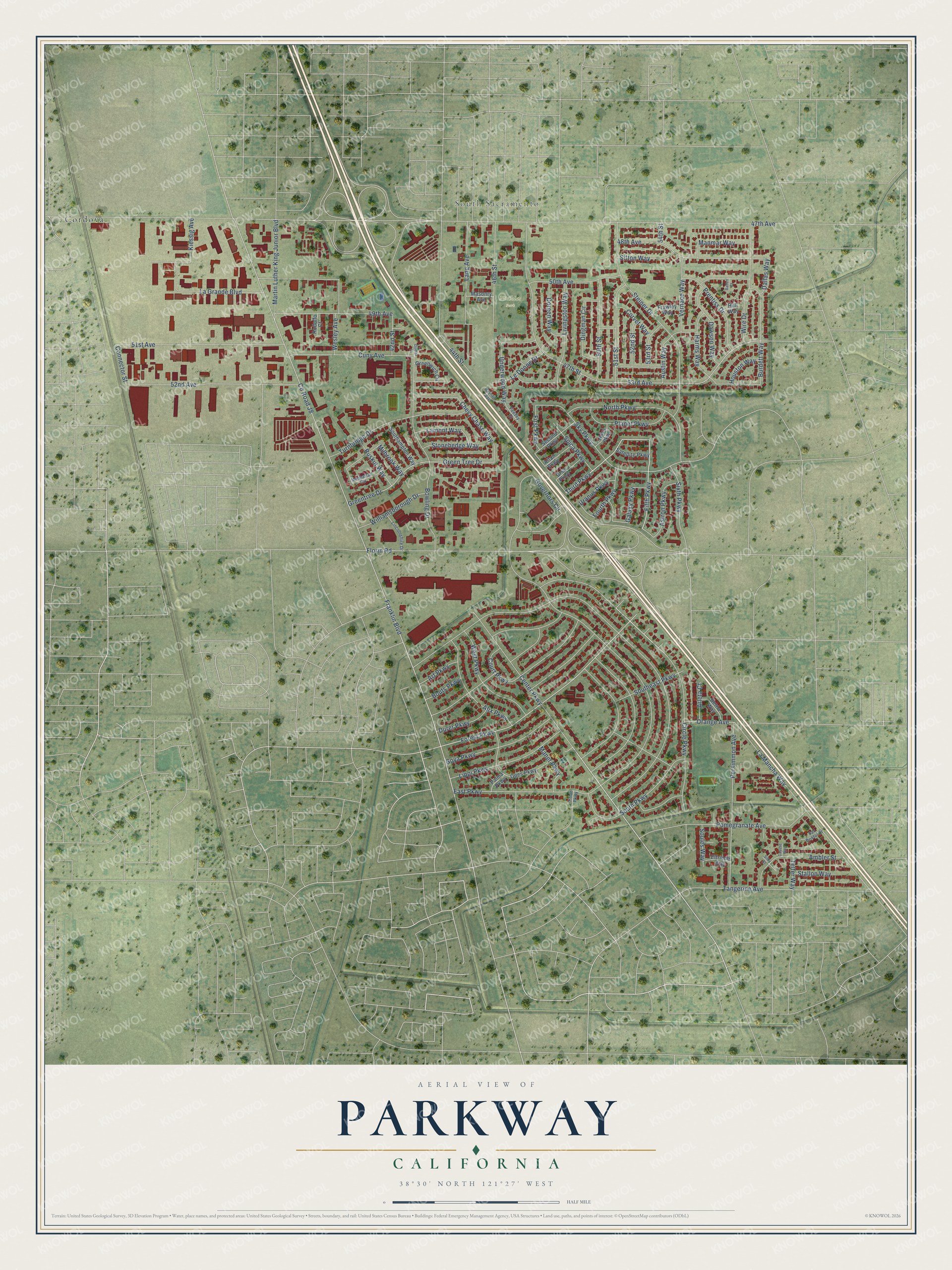
Street and place names on the Parkway, California map
These names are printed on the map of Parkway, California.
Places: South Sacramento, Nicholas Park and Cordova.
Streets and roads: Circle Parkway, Center Parkway, Third Parkway, Fifth Parkway, Franklin Boulevard, 53rd Avenue, 47th Avenue, County Road J8, East Parkway, Florin Road, Forest Parkway, 48th Avenue.
More street names, A to Z
42nd Street, 44th Street, 46th Street, 47th Street, 49th Avenue, 50th Avenue, 50th Street, 51st Avenue, 51st Street, 52nd Avenue, 52nd Street, 53rd Street, 54th Street, Alix Parkway, Altair Parkway, Ambler Street, Arleta Court, Art Parkway, Astron Parkway, Austin Way, Baden Court, Berna Way, Bouts Parkway, Bowling Drive, Burdett Way, Cayuse Way, Chevy Chase Way, Connector Street, Corvet Way, Court Parkway, Cuny Avenue, Dallas Way, Dawson Way, Dingman Circle, Doreen Way, Durer Parkway, Elfriede Way, First Parkway, Fourth Parkway, Frawley Way, Galaxy Parkway, Goes Parkway, Gomez Court, Governors Circle, Goya Parkway, Green Tree Drive, Greentree Drive, Greenwich Circle, Harms Way, Houston Way, Hull Way, Kiessig Avenue, La Grande Boulevard, La Mancha Way, Lamont Way, Lang Avenue, Le Donne Drive, Lincolnshire Drive, Lippi Parkway, Livingston Way, Manet Parkway, Manhattan Circle, Manmar Way, Martin Luther King Junior Boulevard, Masonry Avenue, Maynard Way, Milbrook Way, North Parkway, Nova Parkway, Orange Avenue, Palma Parkway, Peevey Court, Persimmon Avenue, Planet Parkway, Pomegranate Avenue, Prentiss Drive, Rodolfo Court, Ruskut Way, San Bristol Court, Satellite Parkway, Second Parkway, Silky Court, Sitton Way, Sixth Parkway, Sky Parkway, Soules Way, Southampton Way, Southeast Parkway, South Parkway, Spica Parkway, Stallon Way, Steiner Drive, Stonehedge Way, Tangerine Avenue, Telfer Way, Titian Parkway, Turnbridge Drive, Underwood Way, Uranus Parkway, Ursa Parkway, Vernace Way, Wesley Avenue, West Parkway, Williamsborough Drive, Wire Drive.
See the Parkway, California map on a wall
The Parkway map as an 18 x 24 inch print in a black frame.

This beautifully detailed map of Parkway makes an attractive addition to your office, library, or den, and it can even be used to teach children the geography and history of the area. It also makes a great gift for anyone who grew up in Parkway or moved away. When you’re done exploring, click here to get your copy of the Parkway map.