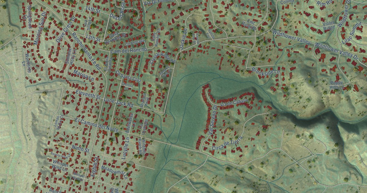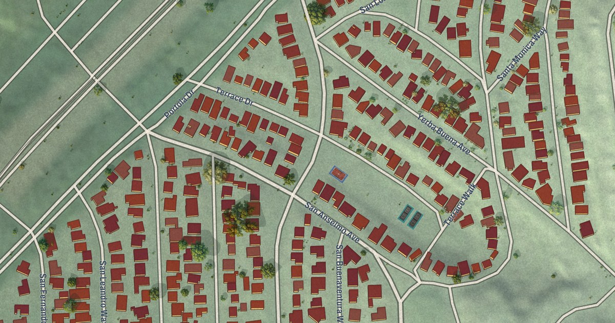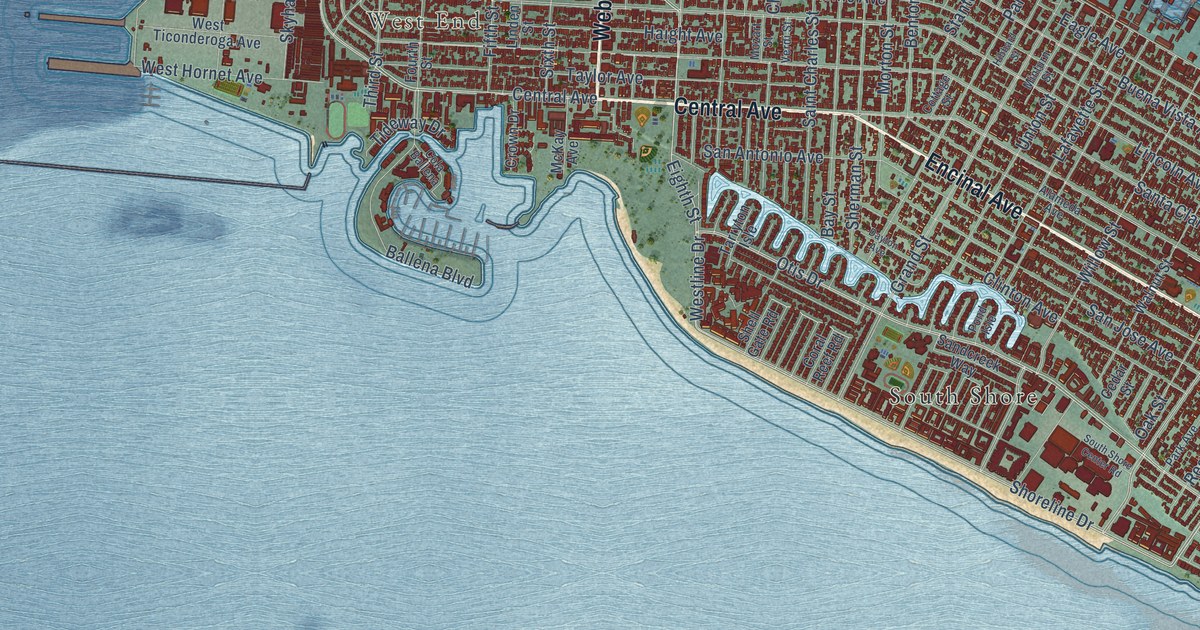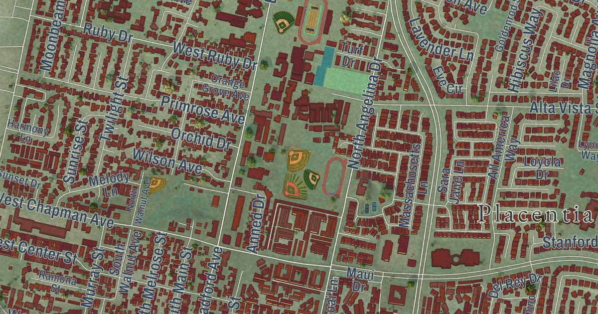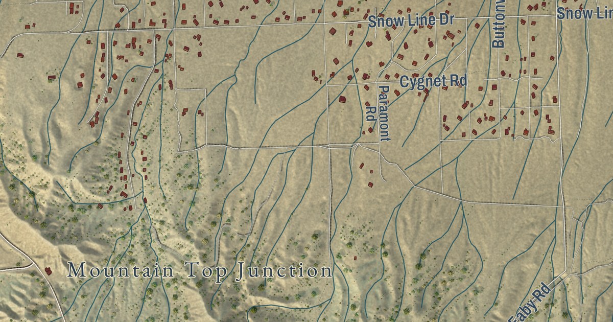
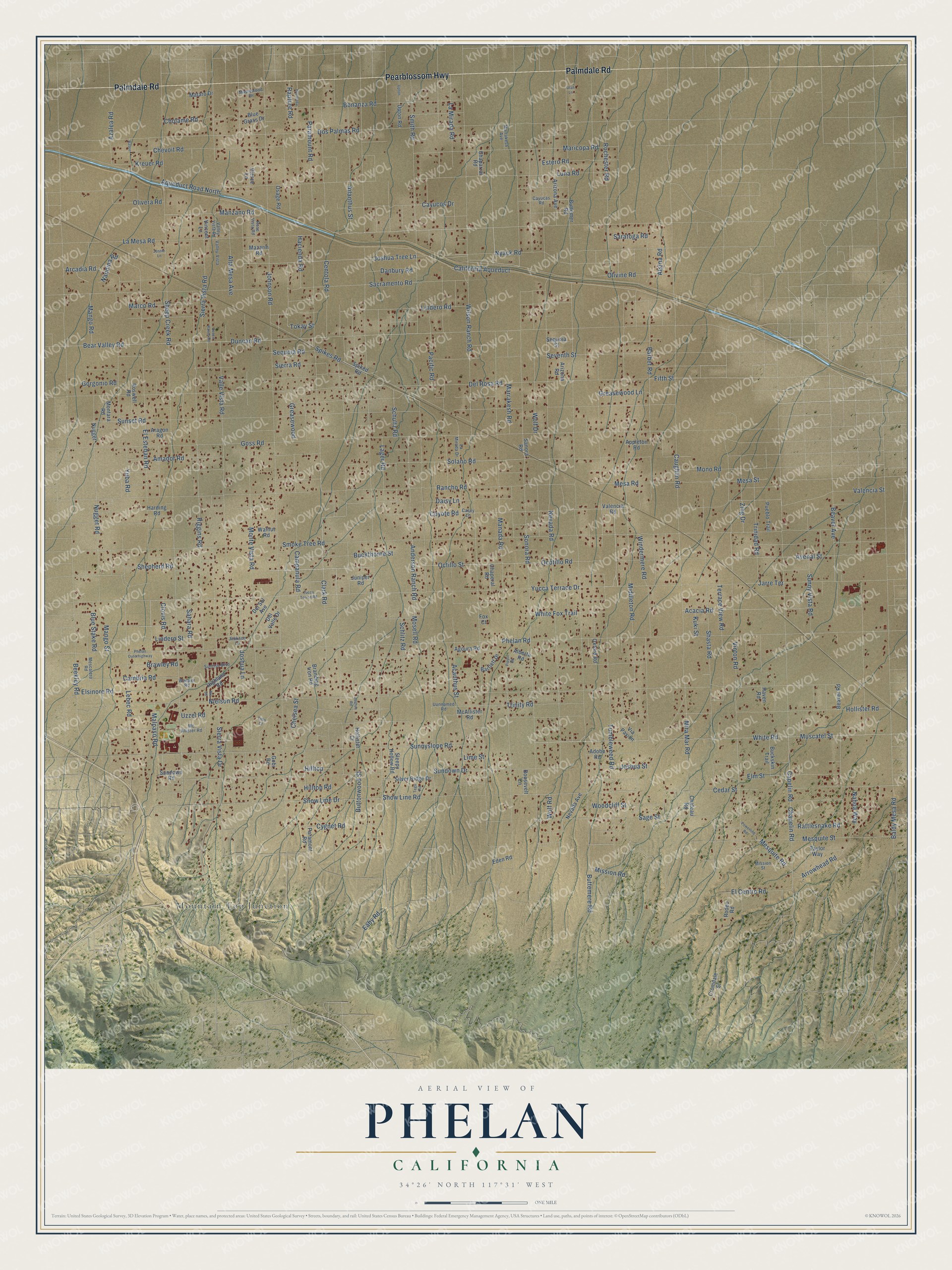
This beautifully detailed map of Phelan, California was created in 2026 using aerial imagery combined with modern topographical, census, street and landmark data. It’s a one-of-a-kind view of Phelan that combines accurate data with a vintage aesthetic. The map shows every building in its true location, many of the roads carry their names, and the shaded topographic relief shows the shape of the land.
Explore an aerial view of Phelan, California
On the map you’ll find Mountain Top Junction, along with Palmdale Road, Pearblossom Highway, Middleton Road, Eaby Road, La Mesa Road, Centola Road, Rochester Road, Aqueduct Road North, White Fox Trail, Ocotillo Road, Yucca Terrace Drive, and more. If you look closely you can even find your house accurately drawn in its correct location. Zoom in on the preview to look for yours.
Did you know this piece of Phelan, California history?
From San Bernardino County: "The Phelan community was named after Senator James D. Phelan and his brother John Thomas Phelan."
Take a closer look at the Phelan map
Street and place names on the Phelan, California map
These names are printed on the map of Phelan, California.
Places: Mountain Top Junction.
Streets and roads: Palmdale Road, Pearblossom Highway, Middleton Road, Eaby Road, La Mesa Road, Centola Road, Rochester Road, Aqueduct Road North, White Fox Trail, Ocotillo Road, Yucca Terrace Drive, Sunnyslope Road.
More street names, A to Z
Acacia Road, Acanthus Street, Adobe Road, Agoura Road, Ailanthus Street, Alberta Road, Alta Mesa Avenue, Amador Road, Anderson Ranch Road, Appleton Road, Aragon Road, Arcadia Road, Arizona Avenue, Arizona Road, Arrowhead Road, Atsina Road, Avenal Street, Azalea Road, Baldy Mesa Road, Barbet Road, Bartlett Drive, Bear Valley Road, Beaver Avenue, Beaver Road, Beekley Road, Blue Grass Drive, Blue Stake Road, Bonanza Road, Branding Iron Road, Brawley Road, Buckskin Trail, Buckthorne Street, Buttemere Road, Buttemer Road, Buttonwood Street, California Aqueduct, Cambria Road, Campanula Road, Capelin Road, Casey Lane, Caughlin Road, Cayucas Road, Cayucos Drive, Cedar Street, Chaparral Road, Chapelin Road, Chaperal Road, Chateau Road, Chelsea Street, Chevoit Road, Cholame Road, Clark Road, Clovis Road, Coyote Road, Cromdale Street, Cygnet Road, Daisy Lane, Danbury Road, Del Rosa Road, Del Sol Avenue, Del Valle Drive, Desert Ranch Road, Dos Palmas Road, Duncan Road, Eden Road, El Centro Road, El Esteban Road, Elm Street, Elsinore Road, Estero Road, Fifth Street, Fox Court, Gobi Road, Gorgonio Road, Goss Road, Greasewood, Greasewood Lane, Hacienda, Hacienda Road, Harding Road, Highland Road, Hilltop, Hilltop Road, Hollister Court, Hollister Road, Jackson Lane, Jarre Terrace, Jennie Lane, Johnson Road, Joshua Lane, Joshua Road, Joshua Street, Joshua Tree Lane, Juniper Road, Kreuer Road, Kuki Street, Lager Road, La Mirada Drive, La Mirada Road, Lebec Road, Lime Street, Lindero Road, Lindero Street, Luna Road, Malpaso Road, Manada Road, Mango Road, Mango Street, Manzano Road, Maplewood Drive, Marco Road, Maricopa Road, Marrakesh Avenue, Marrakesh Road, Mataro Drive, Mazarin Road, McAllister Road, Mc Allister Road, Mesa Road, Mesa Street, Mescalero Road, Mesquite Road, Mesquite Street, Mira Mar Road, Mission Road, Mission Street, Mono Road, Montara Road, Monte Vista Road, Mosell Road, Muscatel Street, Nahoa Way, Nandina Road, Nevada Avenue, Nevada Road, Nielson Road, Nugget, Nugget Road, Nyack Road, Octillo Street, Olivera Road, Olivine Road, Osage Road, Oxford Road, Pacific Road, Paramont Road, Paramount Road, Phelan Outerhighway, Phelan Road, Pierce Lane, Pippin Road, Powerline Road, Pueblo Trail, Rancho Road, Rapture Road, Rattlesnake Road, Raven, Raven Road, Riggins Road, Rodeo Road, Roosevelt Lane, Rose Vista Road, Roswell Road, Route 66, Sacramento Road, Sage Street, Sahara Road, Sanora Road, Saratoga Road, Schlitz Road, Schultz Road, Sequoia Road, Sequoia Street, Seventh Street, Shasta Road, Sheep Creek Road, Shepherd Road, Sierra Road, Sierra Vista Drive, Sierra Vista Road, Silver Ridge Drive, Sleepy Hollow Road, Smith Road, Smoke Tree Road, Snow Line Drive, Snow Line Road, Solano Road, Sonora Road, Spiked Road, Spikes Road, Sundown Drive, Sundown Road, Sunny Vista Road, Sunrise Boulevard, Sunset Road, Taylor Way, Tego Road, Terrace View Road, Tims Court, Tokay Street, Trinidad Road, Trinity Road, Tumbleweed Road, Upton, Upton Road, Utah Lane, Uunnamed Road, Uzzel Road, Valencia Road, Valencia Street, Valle Vista Road, Valley-Vista, Valley Vista Road, Via Pavion, Vincent Lane, Vinton Road, Walnut Road, Warbler Road, White Road, Wilson Ranch Road, Windermere Road, Wolf Drive, Wolf Road, Woodcliff Street, Yuba Road, Yucca Terrce Road, Zing Drive.
See the Phelan, California map on a wall
The Phelan map as an 18 x 24 inch print in a black frame.

This beautifully detailed map of Phelan makes an attractive addition to your office, library, or den, and it can even be used to teach children the geography and history of the area. It also makes a great gift for anyone with Phelan roots. When you’re done exploring, click here to get your copy of the Phelan map.