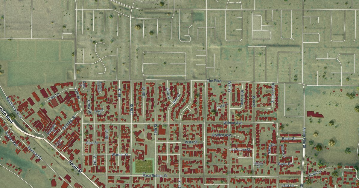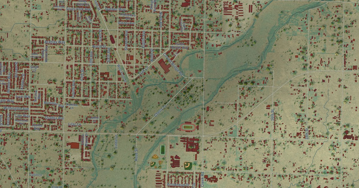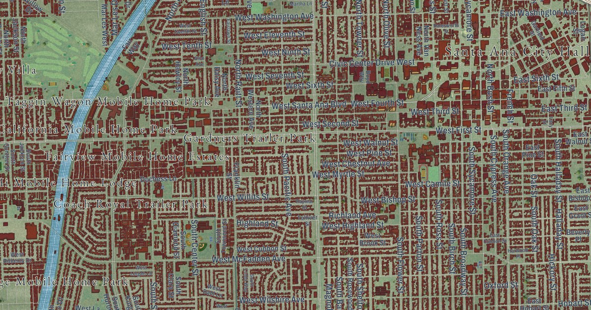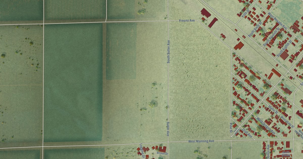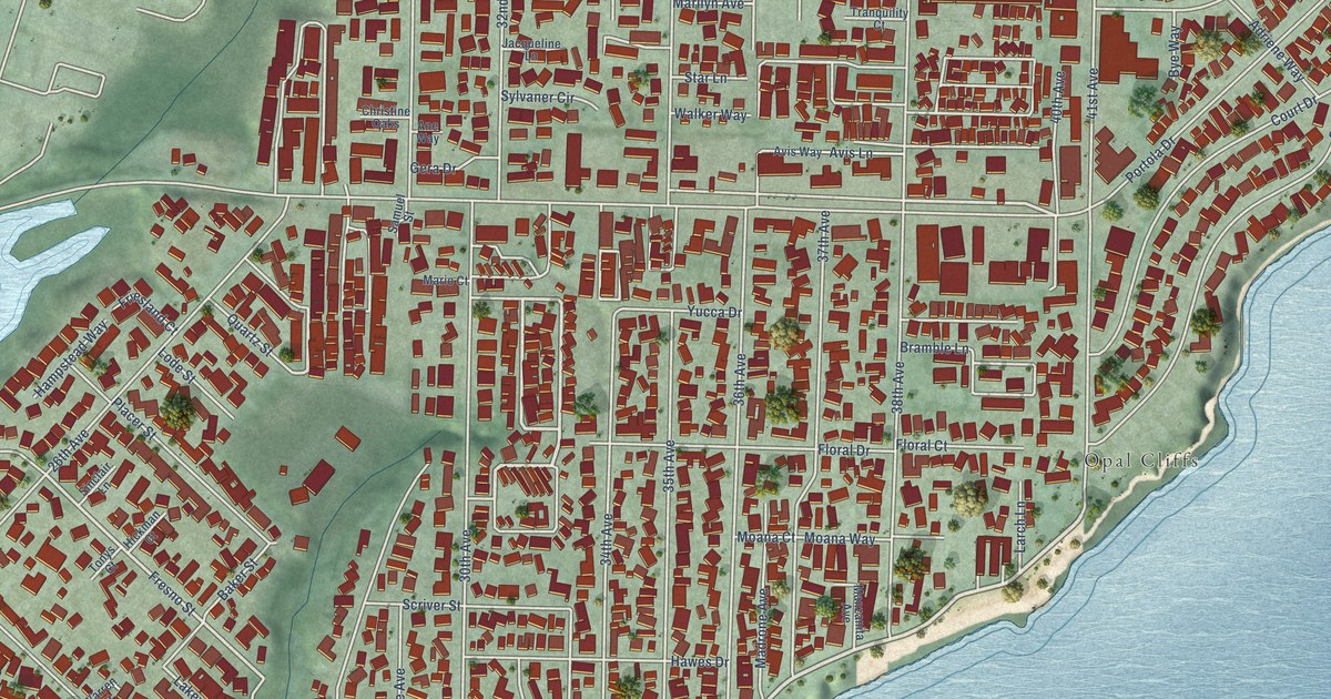
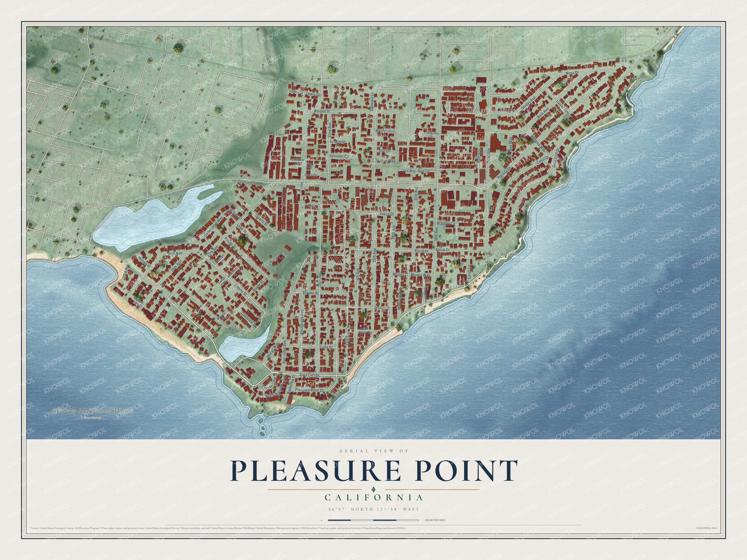
This beautifully detailed map of Pleasure Point, California was created in 2026 using aerial imagery combined with modern topographical, census, street and landmark data. It's a modern aerial view of Pleasure Point in Santa Cruz County, California, that combines modern data with a vintage aesthetic. The roads feature printed names, and if you look closely you can find your exact house accurately shown in its correct location.
Explore an aerial view of Pleasure Point, California
On this map you'll find Shangri La Estates, Opal Cliffs, Monterey Bay National Marine Sanctuary, East Cliff Drive, Moran Way, Fresno Street, Lakeview Drive, Portola Drive, 30th Avenue, Opal Cliff Drive, 38th Avenue, 35th Avenue, and more. Each red shape is a building, so zoom in on the preview and look for yours.
Pleasure Point is a community in Santa Cruz County. The Census Bureau counted 5,821 people here in 2020. The map prints the town name in its title panel, with the coordinates below it.
Take a closer look at the Pleasure Point map
Names on this map
These names are printed on this map.
Places: Shangri La Estates, Opal Cliffs and Monterey Bay National Marine Sanctuary.
Streets and roads: East Cliff Drive, Moran Way, Fresno Street, Lakeview Drive, Portola Drive, 30th Avenue, Opal Cliff Drive, 38th Avenue, 35th Avenue, 41st Avenue, 26th Avenue, 36th Avenue.
More street names, A to Z
23rd Avenue, 24th Avenue, 25th Avenue, 32nd Avenue, 33rd Avenue, 34th Avenue, 37th Avenue, 40th Avenue, 47th Avenue, Adriene Way, Anchorage Avenue, Ane Way, Avis Lane, Avis Way, Bain Avenue, Baker Street, Bramble Lane, Bye Way, Calla Drive, Chesterfield Drive, Christine Oaks, Court Drive, Floral Court, Floral Drive, Friesland Court, Gera Drive, Gladys Avenue, Hampstead Way, Hawes Drive, Hickman Court, Jacqueline Lane, Larch Lane, Laurel Avenue, Lewis Ci, Lewis Circle, Lode Street, Madrone Avenue, Manzanita Avenue, Marilyn Avenue, Mario Court, Melanie Place, Moana Court, Moana Way, Nova Drive, Palisades Avenue, Placer Street, Pleasure Point Drive, Quartz Street, Rockview Drive, Roland Drive, Saint Deyns Street, Samuel Street, Scriver Street, Shore View Drive, Sinclair Lane, South Palisades Avenue, Star Lane, Sylvaner Circle, Tonys Court, Tranquility Court, Vanessa Lane, Walker Way, Warren Court, Warren Street, Yucca Drive.
Created by KNOWOL in 2026. The buildings are small red shapes, the roads carry their printed names, and shaded relief shows the shape of the land. The title panel reads "AERIAL VIEW OF PLEASURE POINT CALIFORNIA" with 36°57' NORTH 121°58' WEST.
It suits a den, a classroom or a front hall, and it makes a gift for anyone with Pleasure Point roots. Open the preview and find the block you know. See sizes and frames for the Pleasure Point map.