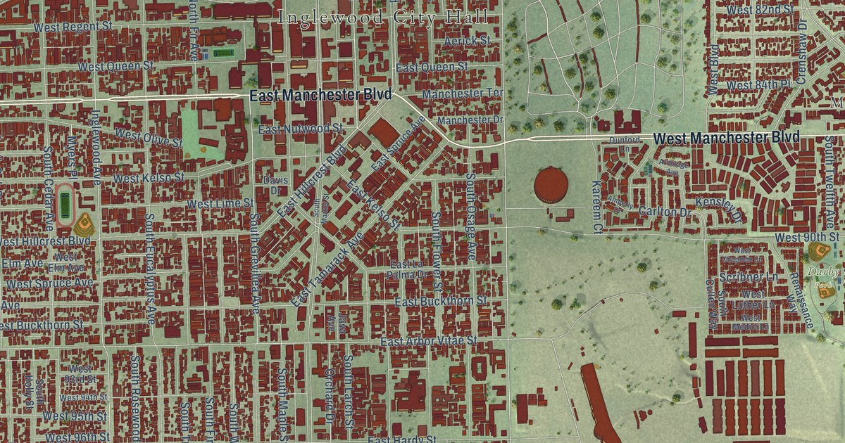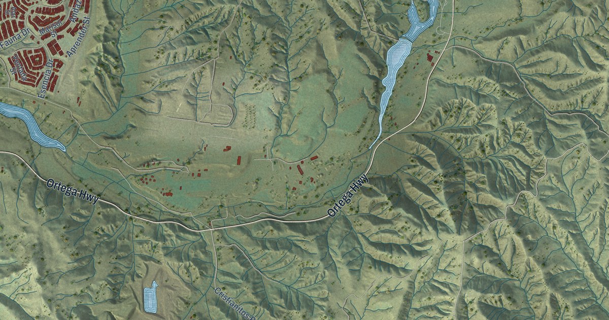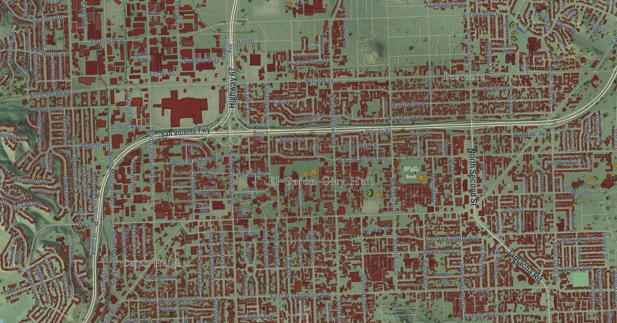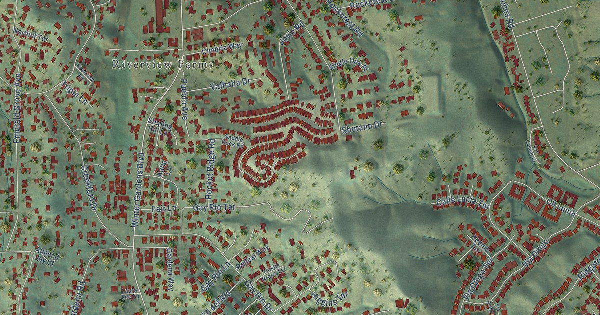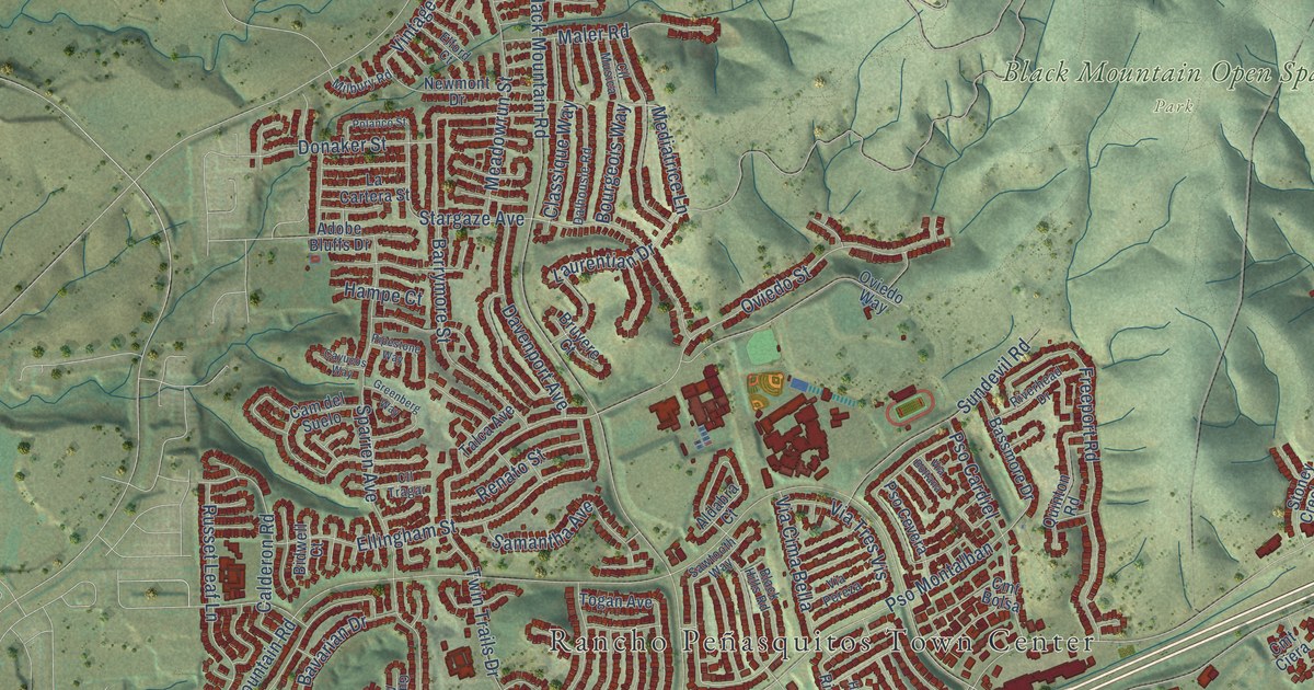
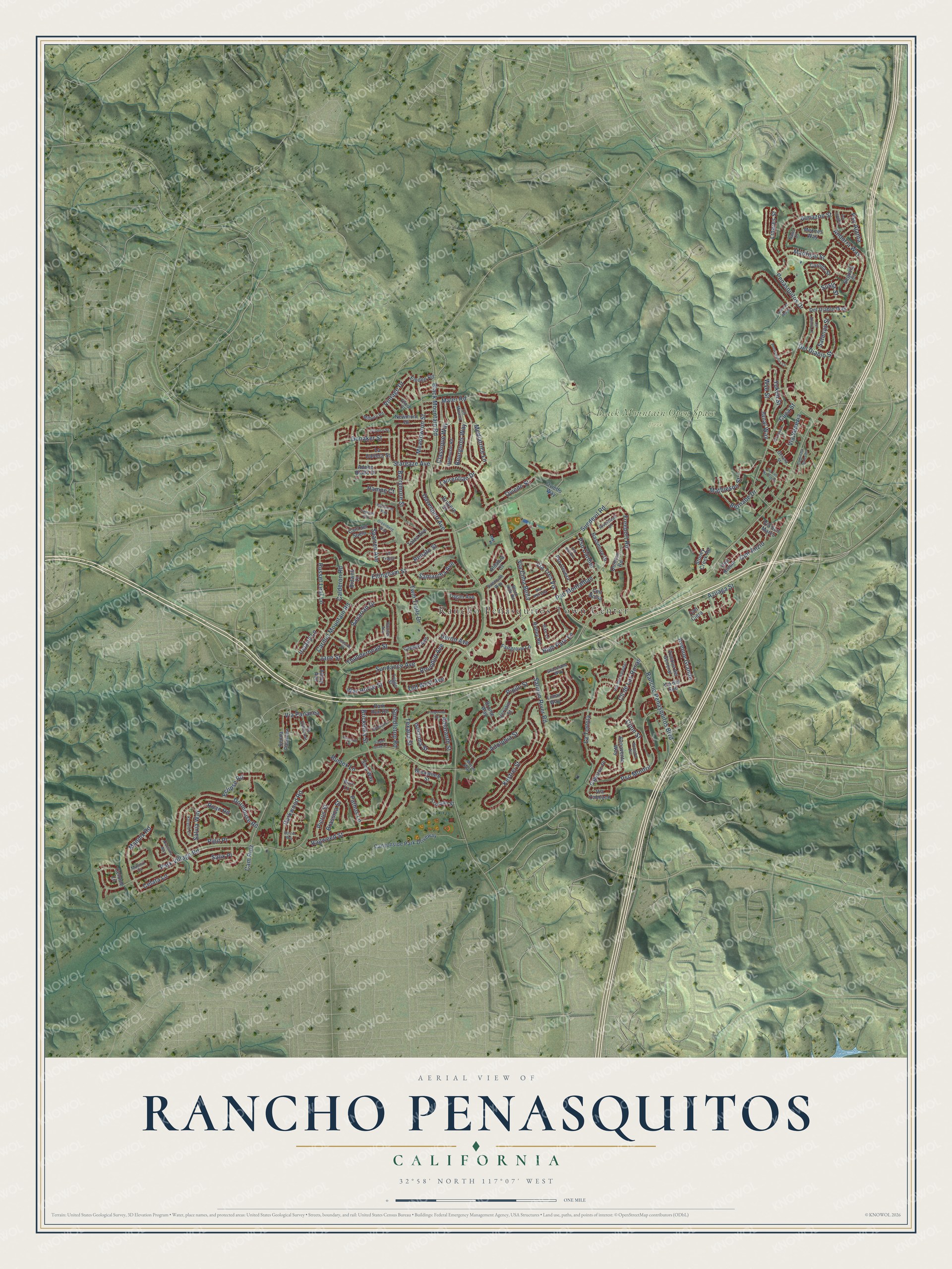
This beautifully detailed map of Rancho Penasquitos, California was created in 2026 using aerial imagery combined with modern topographical, census, street and landmark data. It's a modern aerial view of Rancho Penasquitos in San Diego County, California, that combines modern data with a vintage aesthetic. The roads feature printed names, and if you look closely you can find your exact house accurately shown in its correct location.
Explore an aerial view of Rancho Penasquitos, California
On this map you'll find Rancho Peñasquitos Town Center, Black Mountain Open Space Park, Vintage Drive, Mathieson Street, Carmel Mountain Road, Black Mountain Road, Park Village Road, Salmon River Road, Sundance Avenue, Oviedo Street, Twin Trails Drive, Sparren Avenue, and more. Each red shape is a building, so zoom in on the preview and look for yours.
Here is a piece of Rancho Penasquitos history, in the words of the record. The City of San Diego puts it this way: "The most prominent feature of the community is Black Mountain which rises to an elevation of 1,500 feet."
Rancho Penasquitos is a place in San Diego County.
Take a closer look at the Rancho Penasquitos map
Names on this map
These names are printed on this map.
Places: Rancho Peñasquitos Town Center and Black Mountain Open Space Park.
Streets and roads: Vintage Drive, Mathieson Street, Carmel Mountain Road, Black Mountain Road, Park Village Road, Salmon River Road, Sundance Avenue, Oviedo Street, Twin Trails Drive, Sparren Avenue, Penasquitos Drive, Darkwood Road.
More street names, A to Z
Abing Avenue, Adobe Bluffs Drive, Adolphia Street, Aldabra Court, Almazon Street, Amaranth Street, Andorra Way, Arucauna Way, Avenue del General, Avenue Grande, Avenue Maria, Azuaga Street, Barrymore Street, Bassmore Drive, Bavarian Drive, Benavente Way, Bernabe Drive, Bidwell Court, Black Hills Road, Borzoi Way, Bourgeois Way, Brassica Street, Brickellia Street, Brome Way, Bruyere Court, Buckwheat Street, Burr Lane, Cabezon Place, Calderon Road, Cam del Suelo, Caminata Soleado, Cam Ruiz, Canyonside Park Driveway, Carlota Street, Cayote Avenue, Cayucos Way, Celata Lane, Celome Lane, Cijon Street, Classique Way, Cll de Las Rosas, Cll Musica, Cll Tragar, Cmt Anzio, Cmt Bolsa, Cmt Ciera, Cmt Rimini, Cuca Street, Dalhousie Road, Davenport Avenue, Del Diablo Lane, Del Diablo Street, Del Diablo Way, Deron Avenue, Donaker Street, Dormouse Road, Eclipse Road, Elford Court, Ellingham Street, Emden Road, Fairgrove Lane, Foxcroft Place, Freeport Road, Gerana Street, Ginger Snap Lane, Graceland Way, Greenberg Way, Gunner Avenue, Hampe Court, High Park Lane, Hike Lane, Ireland Lane, Isocoma Street, Janal Way, Jane Street, Katydid Circle, Kestrel Street, La Cartera Street, La Tortola, Laurentian Drive, Limar Way, Linares Street, Madrigal Street, Maler Road, Mannix Court, Mannix Road, Meadowrun Street, Mediatrice Lane, Meknes Way, Mengibar Avenue, Milbury Road, Monsanto Court, Moran Way, Nawa Court, Newmont Drive, Old West Avenue, Oviedo Way, Park Run Road, Pathos Lane, Penasquitos Court, Picrus Street, Pimpernel Drive, Pipestone Way, Pipilo Street, Pipit Place, Polanco Street, Pso Ajanta, Pso Cardiel, Pso Cevera, Pso Jenghiz, Pso Montalban, Pso Montril, Quinton Road, Ragweed Street, Rancho Penasquitos Boulevard, Renato Street, Rideabout Lane, Ridley Road, Riverhead Drive, Roan Road, Roundup Avenue, Rumex Lane, Russet Leaf Lane, Salix Place, Salvia Way, Samantha Avenue, Satanas Street, Sawtooth Way, Sedorus Street, Segovia Court, Senda Panacea, Sora Way, Spindletop Road, Stargaze Avenue, Stoney Creek Road, Sundevil Road, Susita Street, Talca Avenue, Texana Street, Thunderhead Street, Togan Avenue, Trigger Street, Truman Street, Vervain Street, Via Boltana, Via Cabezon, Via Cima Bella, Via Colmenar, Via del Sud, Via del Valedor, Via Los Narcisos, Via Panacea, Via Pereza, Via San Marco, Via Tres Vis, Via Venezia, War Horse Street, Wye Street, Yukon Street.
Created by KNOWOL in 2026. The buildings are small red shapes, the roads carry their printed names, and shaded relief shows the shape of the land. The title panel reads "AERIAL VIEW OF RANCHO PENASQUITOS CALIFORNIA" with 32°58' NORTH 117°07' WEST.
It suits a den, a classroom or a front hall, and it makes a gift for anyone with Rancho Penasquitos roots. Open the preview and find the block you know. See sizes and frames for the Rancho Penasquitos map.