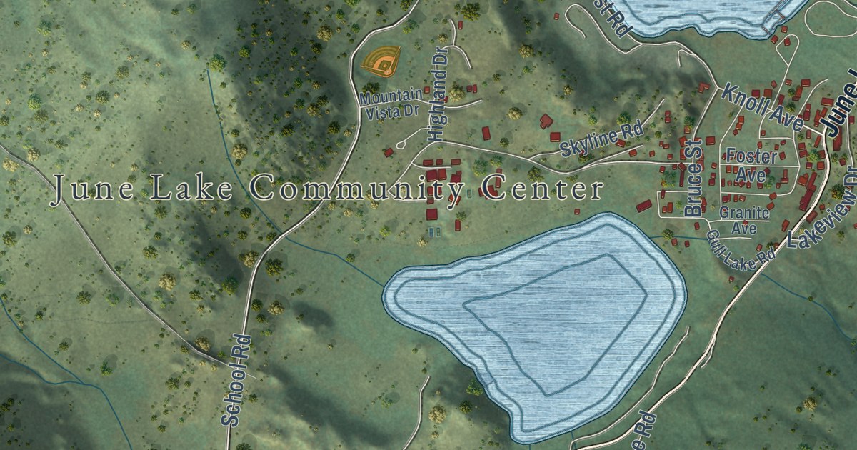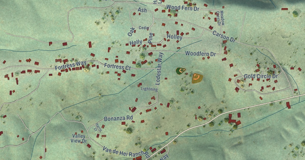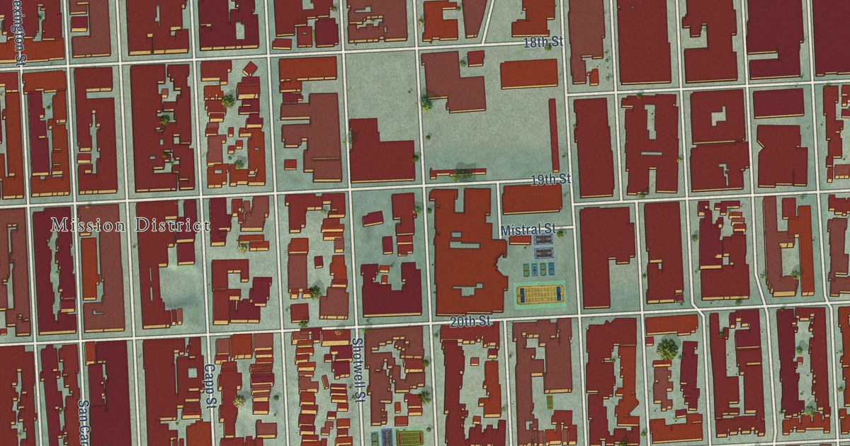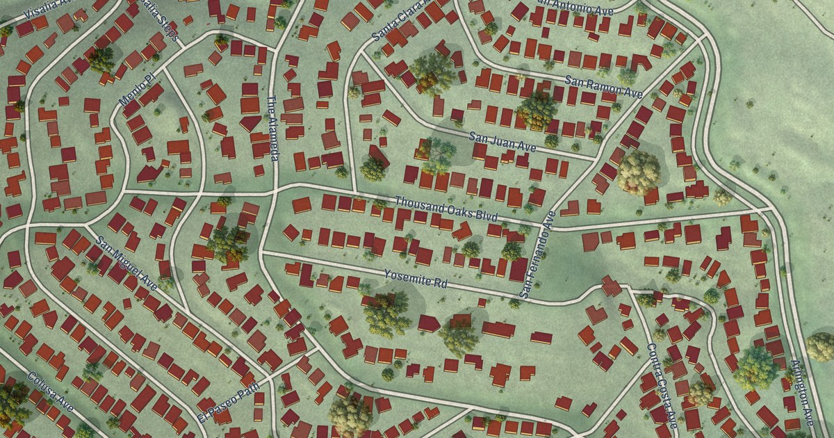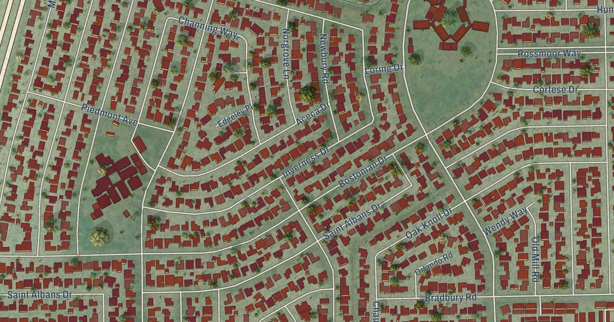
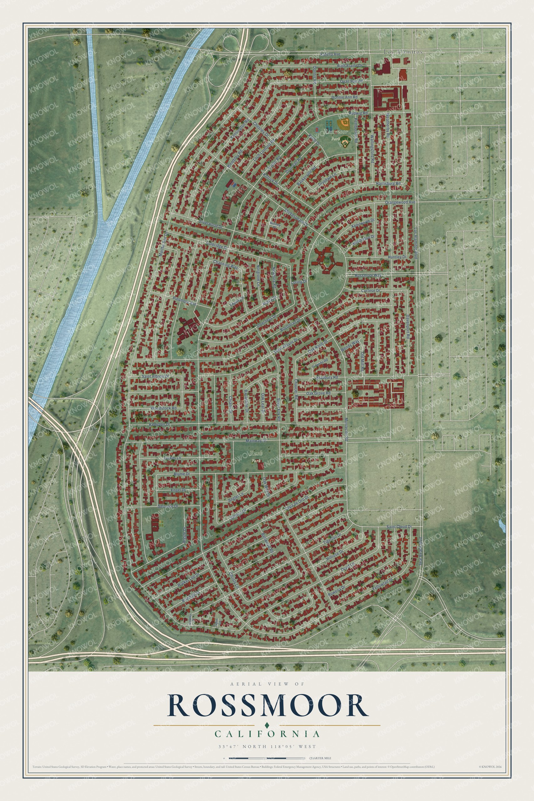
This beautifully detailed map of Rossmoor, California was created in 2026 using aerial imagery combined with modern topographical, census, street and landmark data. It’s a one-of-a-kind view of Rossmoor that combines accurate data with a vintage aesthetic. The map shows every building in its true location, many of the roads carry their names, and the shaded topographic relief shows the shape of the land.
Explore an aerial view of Rossmoor, California
On the map you’ll find Rossmoor Park, Rush Park, and Los Alamitos, along with Montecito Road, Orangewood Avenue, Saint Cloud Drive, Davenport Road, Harrisburg Road, Tigertail Drive, Foster Road, Argyle Drive, Hillrose Drive, and more. If you look closely you can even find your house accurately drawn in its correct location. Zoom in on the preview to look for yours.
Did you know this piece of Rossmoor, California history?
From the Our Rossmoor: "The Rossmoor community of 3,500 homes was the largest yet to be built in Orange County."
Take a closer look at the Rossmoor map
Street and place names on the Rossmoor, California map
These names are printed on the map of Rossmoor, California.
Places: Rossmoor Park, Rush Park and Los Alamitos.
Streets and roads: Montecito Road, Orangewood Avenue, Saint Cloud Drive, Davenport Road, Harrisburg Road, Tigertail Drive, Foster Road, Argyle Drive, Hillrose Drive, Channing Way, Martha Ann Drive, Kensington Road.
More street names, A to Z
Aceca Drive, Angler Lane, Ballantine Drive, Baskerville Road, Bellwood Road, Blume Drive, Bostonian Drive, Bradbury Road, Brimhall Drive, Burney Place, Chaucer Road, Chesney Drive, Chianti Drive, Christy Lane, Coleridge Drive, Copa de Oro Drive, Cortese Drive, Donnie Ann Road, Donnis Road, Donovan Road, Druid Lane, Drysdale Lane, Edgeley Place, Engel Drive, Gertrude Drive, Hedwig Road, Huntley Drive, Inverness Drive, Katella Avenue, Kempton Drive, Kenilworth Drive, Kerth Drive, Kiethley Drive, Kittrick Drive, Loch Lomond Road, Loring Drive, Los Alamitos Boulevard, Mainway Drive, Newbury Road, Norgrove Lane, Oak Grove Road, Oak Knoll Drive, Oak Leaf Drive, Oak Way Drive, Old Mill Road, Orlando Road, Pemberton Road, Piedmont Avenue, Quail Run Road, Rossmoor Way, Rowena Drive, Ruth Elaine Drive, Saint Albans Drive, Salmon Drive, Seal Beach Boulevard, Shakespeare Drive, Silver Fox Road, Silverwood Drive, Spur Lane, Tucker Lane, Walker Lee Drive, Wallingsford Road, Weatherby Road, Wembley Road, Wendy Way, Wimbleton Drive, Woodstock Road, Yellowtail Drive.
See the Rossmoor, California map on a wall
The Rossmoor map as an 18 x 24 inch print in a black frame.

This beautifully detailed map of Rossmoor makes an attractive addition to your office, library, or den, and it can even be used to teach children the geography and history of the area. It also makes a great gift for someone who left Rossmoor and still calls it home. When you’re done exploring, click here to get your copy of the Rossmoor map.