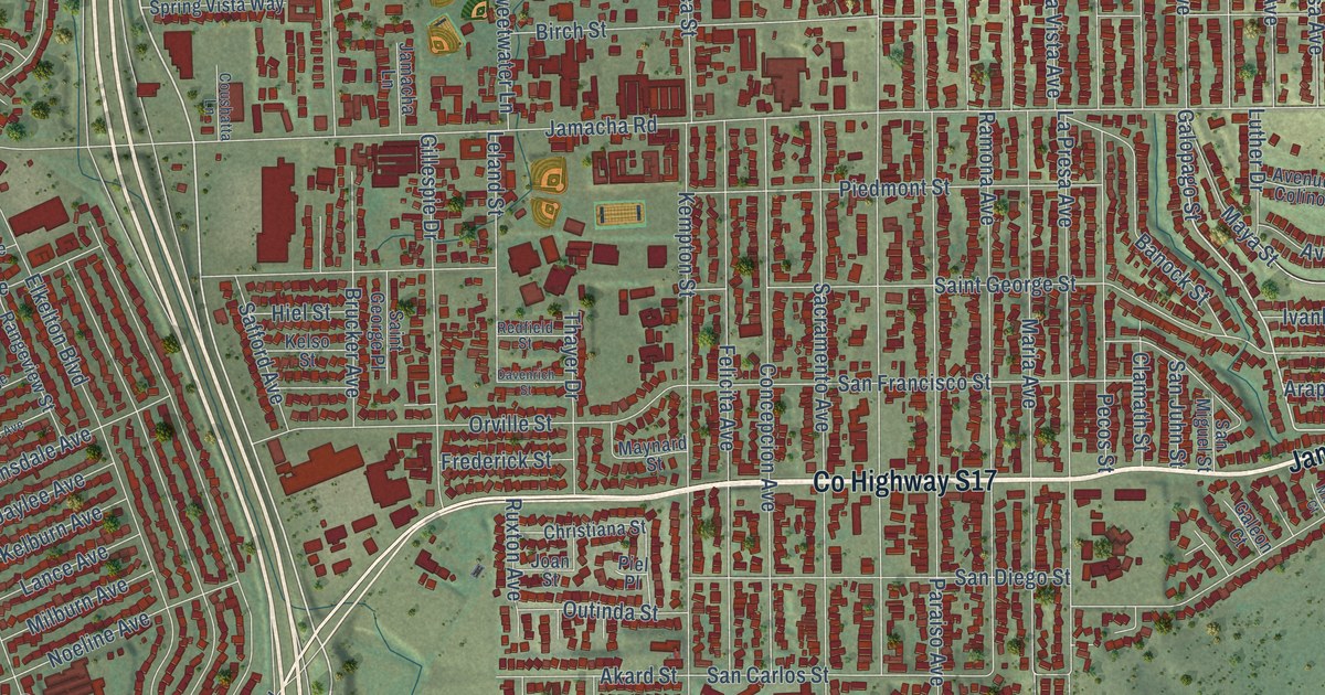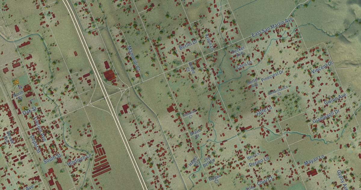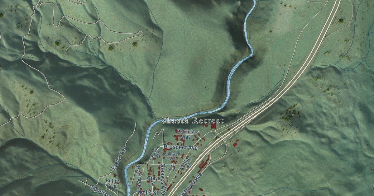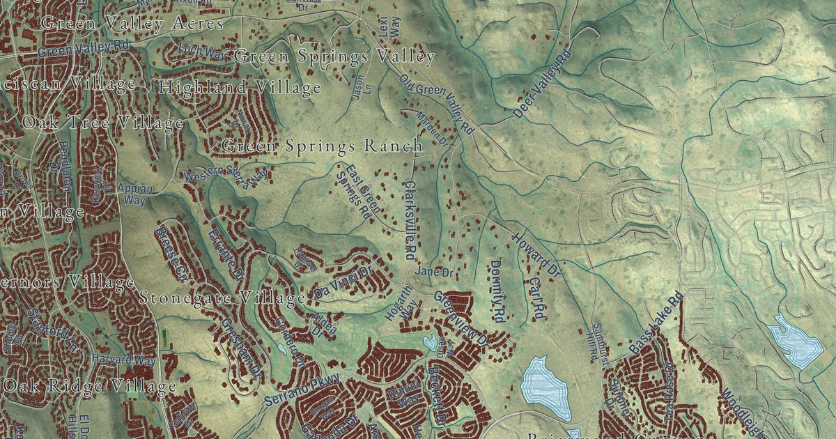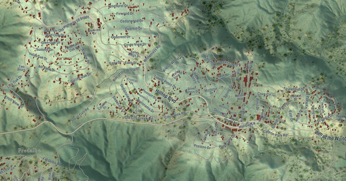
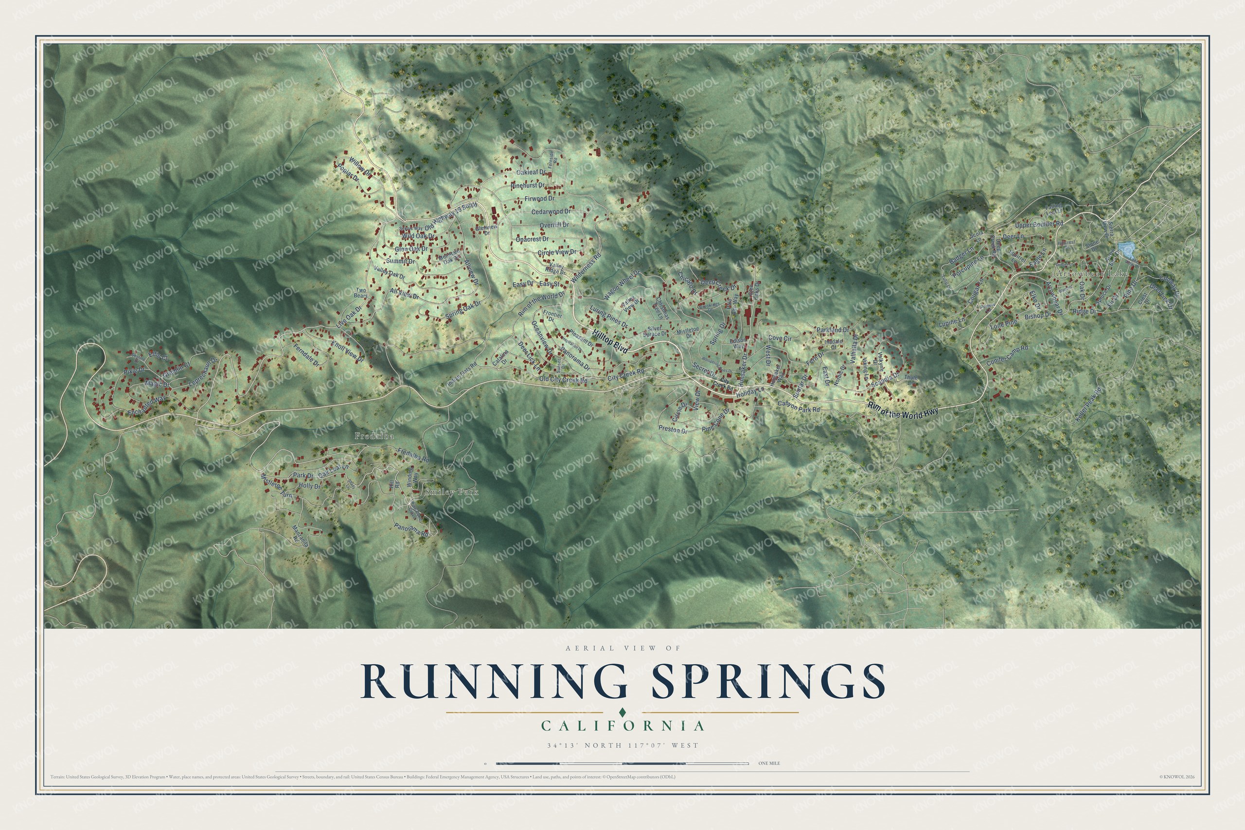
This beautifully detailed map of Running Springs, California was created in 2026 using aerial imagery combined with modern topographical, census, street and landmark data. It's a modern aerial view of Running Springs in San Bernardino County, California, that combines modern data with a vintage aesthetic. The roads feature printed names, and if you look closely you can find your exact house accurately shown in its correct location.
Explore an aerial view of Running Springs, California
On this map you'll find Arrowbear Lake, Smiley Park, Fredalba, Hilltop Boulevard, Rim of the World Highway, Old City Creek Road, Live Oak Drive, Park Drive, Panorama Road, Oakleaf Drive, Hunsaker Drive, Fredalba Road, and more. Each red shape is a building, so zoom in on the preview and look for yours.
Running Springs is a community in San Bernardino County. The Census Bureau counted 5,268 people here in 2020. The map prints the town name in its title panel, with the coordinates below it.
Take a closer look at the Running Springs map
Names on this map
These names are printed on this map.
Places: Arrowbear Lake, Smiley Park and Fredalba.
Streets and roads: Hilltop Boulevard, Rim of the World Highway, Old City Creek Road, Live Oak Drive, Park Drive, Panorama Road, Oakleaf Drive, Hunsaker Drive, Fredalba Road, Glen Oak Drive, Willow Drive, City Creek Road.
More street names, A to Z
All View Drive, Allview Drive, Arrowbear Drive, Arrow Bear Drive, Badger Lane, Bishop Drive, Bluebird Lane, Brookings Drive, Canyon Park Road, Catalina Drive, Cedarwood Drive, Chicago Drive, Christmas Tree Lane, Circle Drive, Circle View Drive, Conifer Camp Road, Conway Drive, Cougar Lane, Cove Circle, Crest Drive, Deep Creek Drive, Deep Creek Road, Deer Lane, Deer Lick Drive, Deer Lick Lane, Donner Lane, Eagle Lane, East Drive, Easy Drive, Easy Street, Edison Way, Elfin Court, Elko Drive, Enchanted Way, Falling Leaf Lane, Ferndale Drive, Fern Drive, Fernside Road, Fir Drive, Firwood Drive, Frontier Drive, Glen Oaks Drive, Glenview Drive, Gremlin Court, Hillcrest Drive, Hill Road, Holiday Lane, Holly Drive, Hunsaker Way, Inadale Court, Indian Flats Road, Inspiration Drive, Keller Peak Road, Knoll View Drive, Lake View Drive, Leprechaun Drive, Lone Pine, Lupine Lane, Luring Pines Drive, Magic Drive, Manzanita Road, Mistletoe Drive, Mistletoe Turn, Mountain Oak Drive, Nordic Drive, Oak Drive, Oak Leaf Lane, Oceanview Drive, Old Highway 18 South, Onacrest Drive, Overhill Drive, Palo Alto Way, Panorama Drive, Parkland Drive, Pine Cone Curve, Pine Cone Drive, Pine Drive, Pinehurst Drive, Pixie Drive, Pleasant Drive, Poplar Drive, Porcupine Lane, Powers Lane, Preston Drive, Ridge Drive, Rim of the World Drive, Scandia Drive, Scenic Way, Scola Lane, Secret Drive, Shady Lane, Sierra View Drive, Silver Spruce Drive, Skyline Drive, Soutar Drive, Spring Drive, Spring Oak Drive, Spruce Drive, Squirrel Lane, Stone Drive, Summit Drive, Sunset Drive, Thule Lane, Tulip Lane, Two Bears, Upper Boulder Road, Valhalla Drive, Valkyrie Drive, Valley Oak Drive, Valley Ridge Drive, Valley View Drive, View Drive, Viking Lane, Wagon Wheel Drive, West Drive, Whispering Pines Drive, Wilderness Road, Wild Oak Drive, Winding Way.
Created by KNOWOL in 2026. The buildings are small red shapes, the roads carry their printed names, and shaded relief shows the shape of the land. The title panel reads "AERIAL VIEW OF RUNNING SPRINGS CALIFORNIA" with 34°13' NORTH 117°07' WEST.
It looks right in a kitchen, an office or a den, and it's a gift for anyone who grew up in Running Springs or moved away. Open the preview and find your street. See sizes and frames for the Running Springs map.