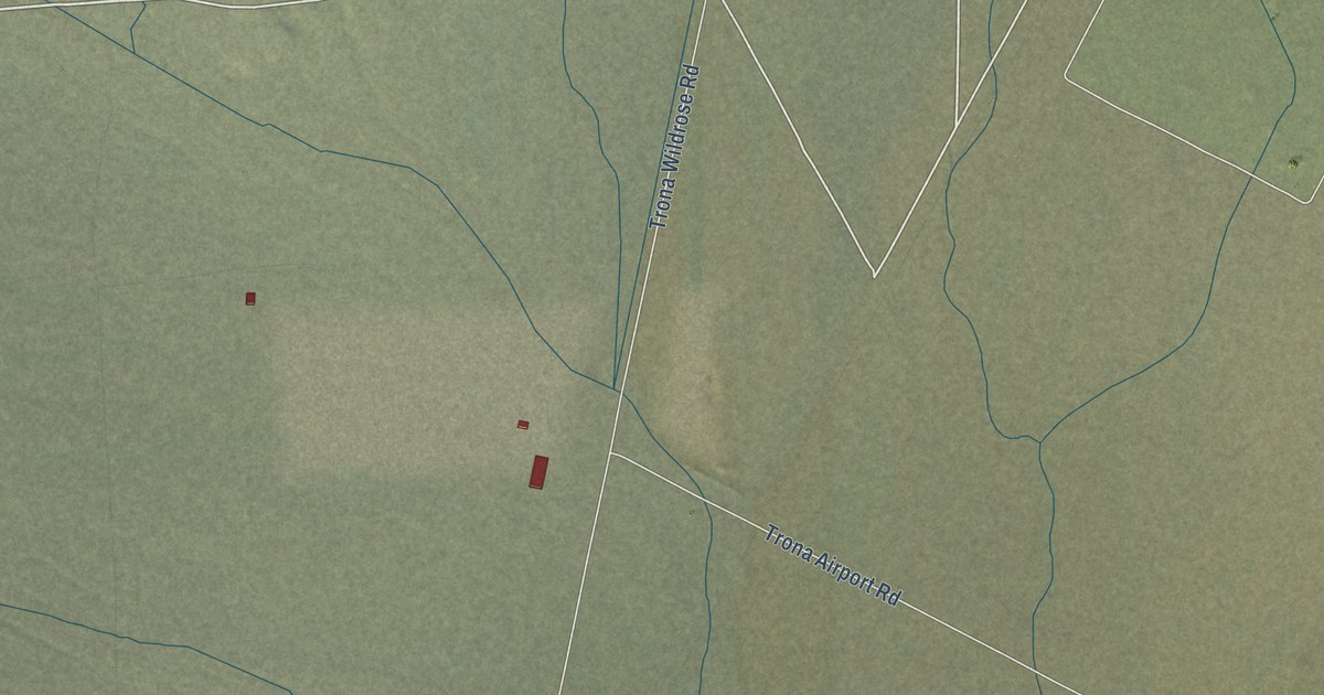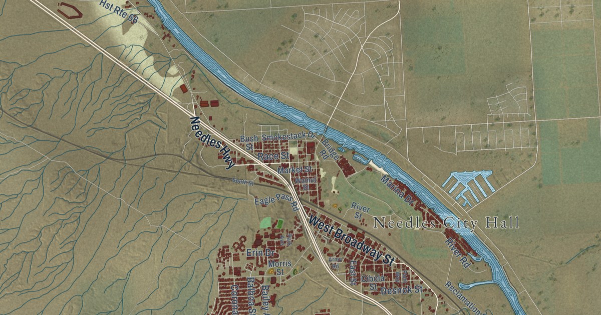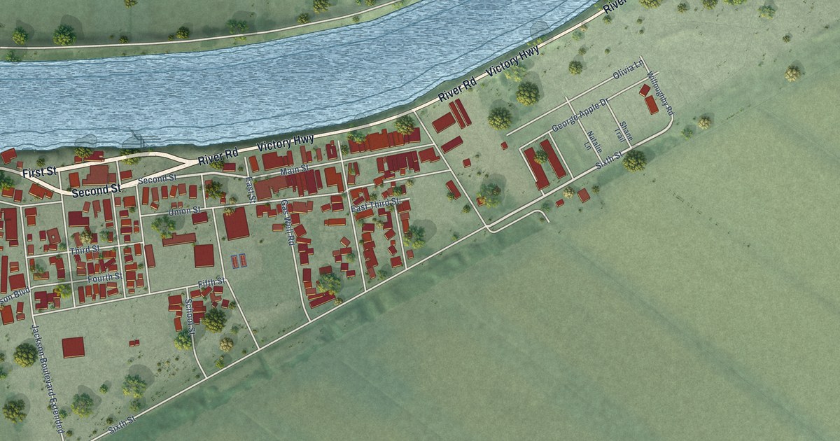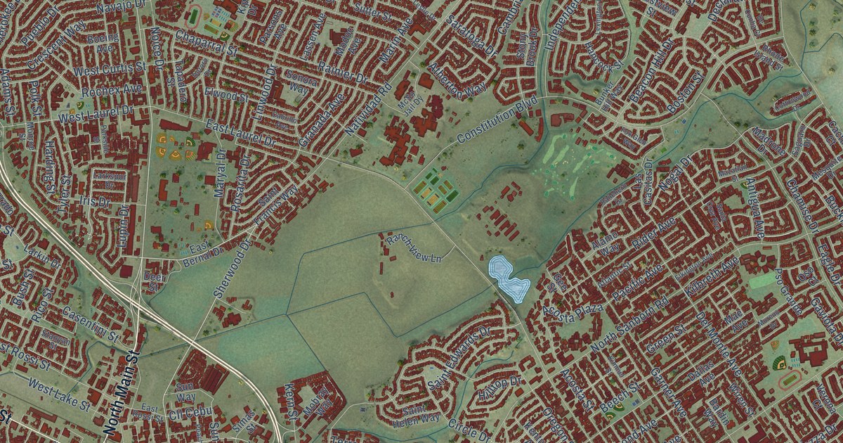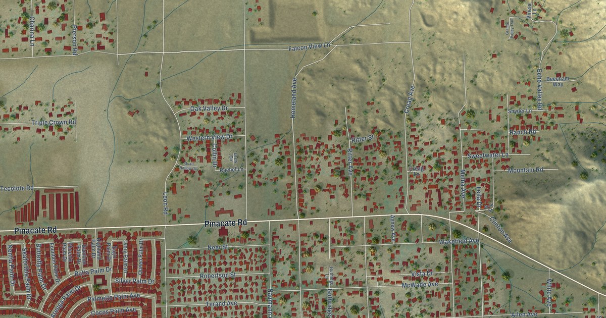
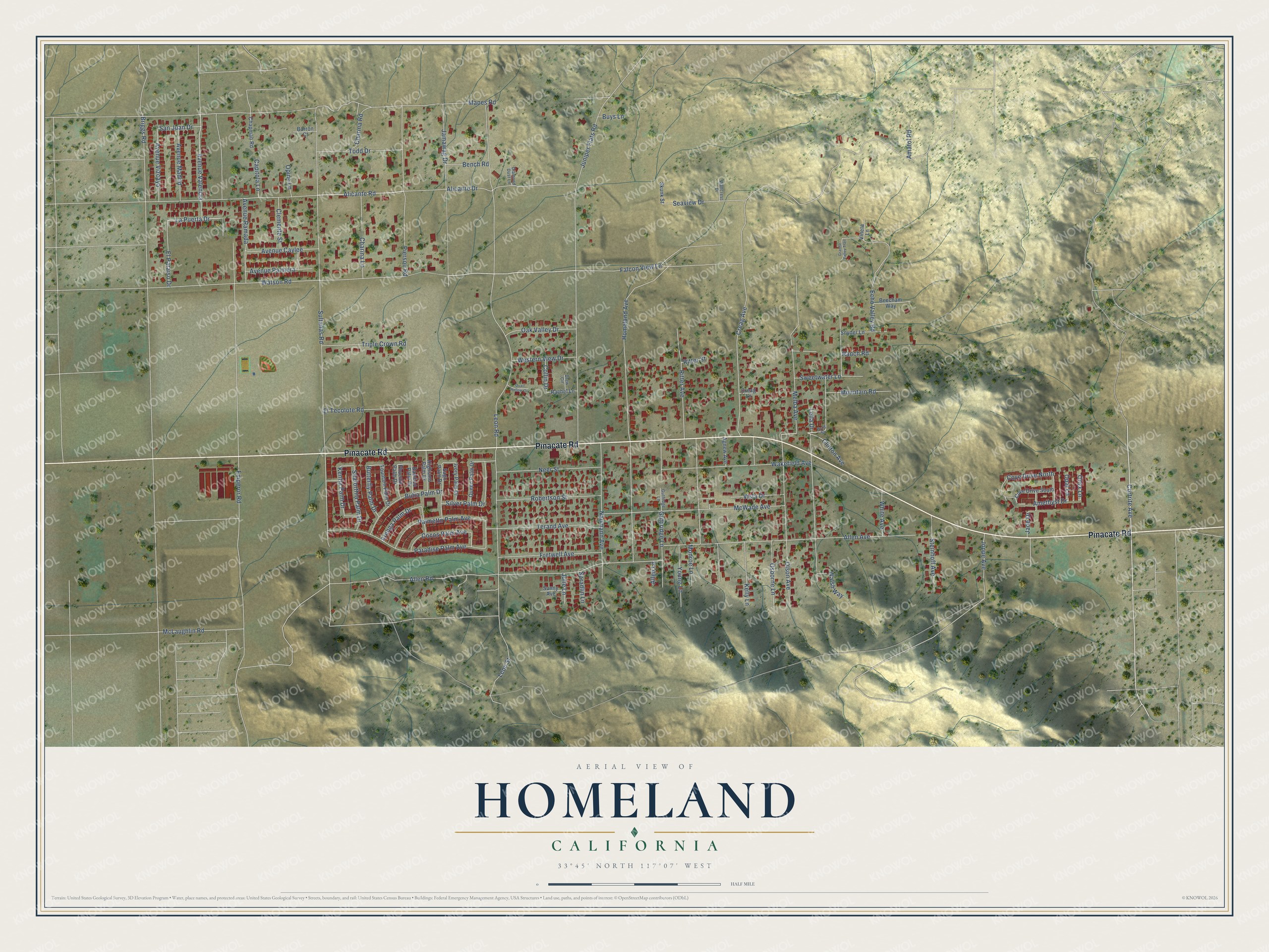
This beautifully detailed map of Homeland, California was created in 2026 using aerial imagery combined with modern topographical, census, street and landmark data. It's a modern aerial view of Homeland in Riverside County, California, that combines modern data with a vintage aesthetic. The roads feature printed names, and if you look closely you can find your exact house accurately shown in its correct location.
Explore an aerial view of Homeland, California
On this map you'll find Pinacate Road, Cortrite Avenue, Alicante Road, Watson Road, Clinton Avenue, La Puerta Drive, Avenue Valencia, Amethyst Drive, Briggs Road, Sultanas Road, Falcon View Lane, Leon Road, and more. Each red shape is a building, so zoom in on the preview and look for yours.
Every town has a first chapter, and Homeland is no exception. The Homeland post office was established on December 16, 1949, and the nomination of Lulu Ellen Spradlin of Homeland to be its postmaster later went before the United States Senate. That's from the Congressional Record.
Homeland is a community in Riverside County. The Census Bureau counted 6,772 people here in 2020.
Take a closer look at the Homeland map
Names on this map
These names are printed on this map.
Streets and roads: Pinacate Road, Cortrite Avenue, Alicante Road, Watson Road, Clinton Avenue, La Puerta Drive, Avenue Valencia, Amethyst Drive, Briggs Road, Sultanas Road, Falcon View Lane, Leon Road.
More street names, A to Z
Agnew Avenue, Alicante Drive, Allen Avenue, Allen Lane, Allen Road, Amatol Road, Arenga Palm Drive, Avenue Caylee, Avenue Madrid, Avenue Palmera, Avenue Ramada, Avenue Vizcaya, Bamboo Palm Drive, Barron Court, Beecham Way, Bench Road, Butia Palm Drive, Butterfly Palm Drive, Buys Lane, Byrd Street, Capitola Lane, Chapman Road, Charina Lane, Charina Road, Clemente Street, Cocos Palm Avenue, Collin Drive, Cove Drive North, Cove Drive South, Creag Avenue, Creag Lane, Diamond Dust Lane, Drew Circle, Echo Valley Road, El Paraiso Drive, El Tecolote Road, Emperor Road, Fountain Palm Drive, Fretwell Avenue, Granite Valley Trail, Guthidge Lane, Guthridge Lane, Highland Palm Drive, Homeland Avenue, Ivory Palm Drive, Jade Drive, Jamawag Drive, Joppe Avenue, Julie Lane, Juniper Flats Road, Kelly Lane, Kentia Palm Drive, Leila Drive, Leon Street, Mapes Road, McLaughlin Road, McWade Avenue, Melba Avenue, Monroe Lane, Mountain Road, Naumann Avenue, Neer Street, Oak Valley Drive, Olson Avenue, Onyx Lane, Opal Lane, Opine Lane, Osborne Lane, Palmetto Palm Avenue, Paradise Palm Avenue, Phoenix Palm Drive, Pierson Road, Quail Hollow Circle, Queen Palm Drive, Rachel Lane, Ranch Road, Ritter Avenue, Ritter Street, Robertson Street, Sago Palm Drive, San Juan Drive, Seaforthia Palm Drive, Seaview Drive, Silver Palm Drive, Skunk Street, Snyder Lane, Spradlin Lane, Steinhoff Avenue, Sunny Avenue, Sweetwater Lane, Terand Avenue, Todd Drive, Triple Crown Road, Vineta Lane, Vista Drive, Wakefield Avenue, Wallcrest Drive, Walsh Way, Western View Drive, White Avenue, Young Lane.
See it on a wall
The Homeland map as a framed print. Swipe for more.


Created by KNOWOL in 2026. The buildings are small red shapes, the roads carry their printed names, and shaded relief shows the shape of the land. The title panel reads "AERIAL VIEW OF HOMELAND, CALIFORNIA" with 33°45' NORTH 117°07' WEST.
Hang it in the hallway, the office or the cabin, or give it to someone who left Homeland and still calls it home. Open the preview and look for a street you know. See sizes and frames for the Homeland map.