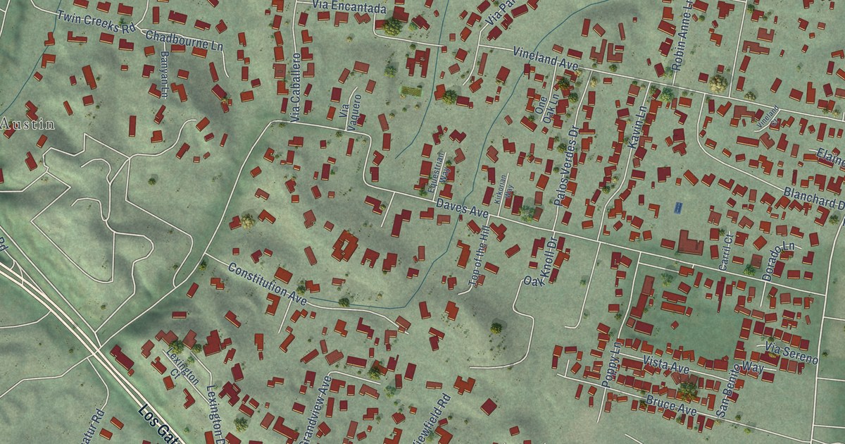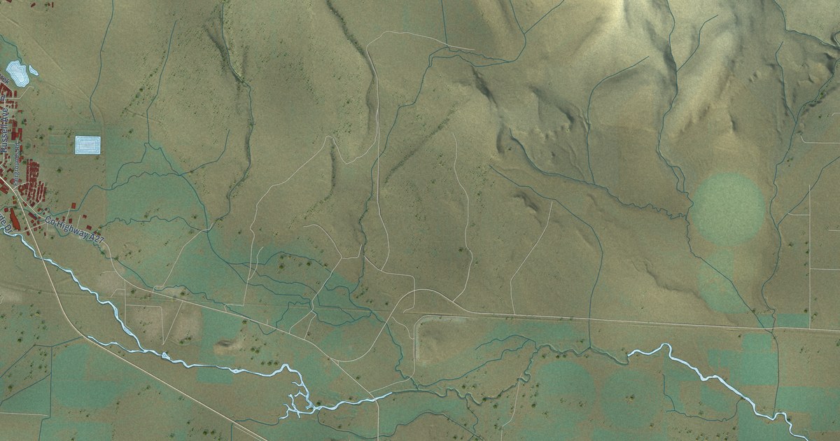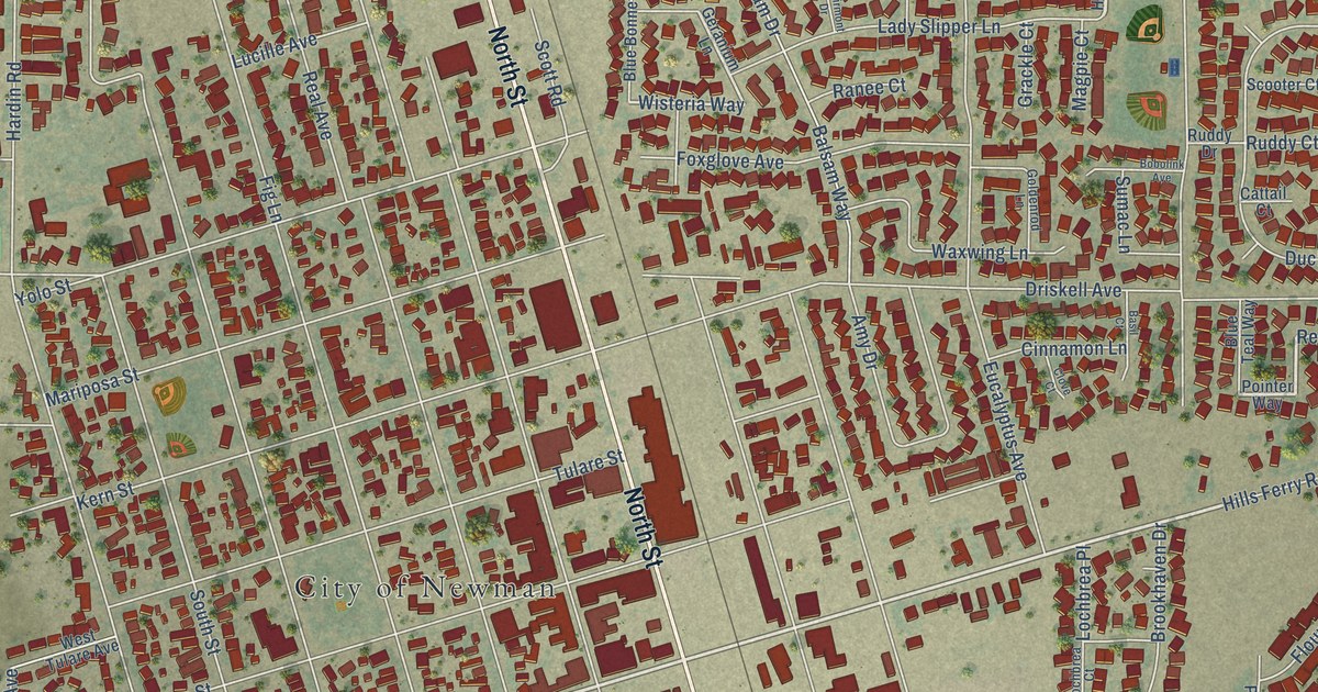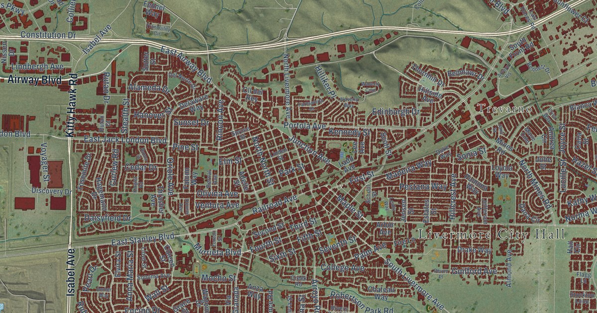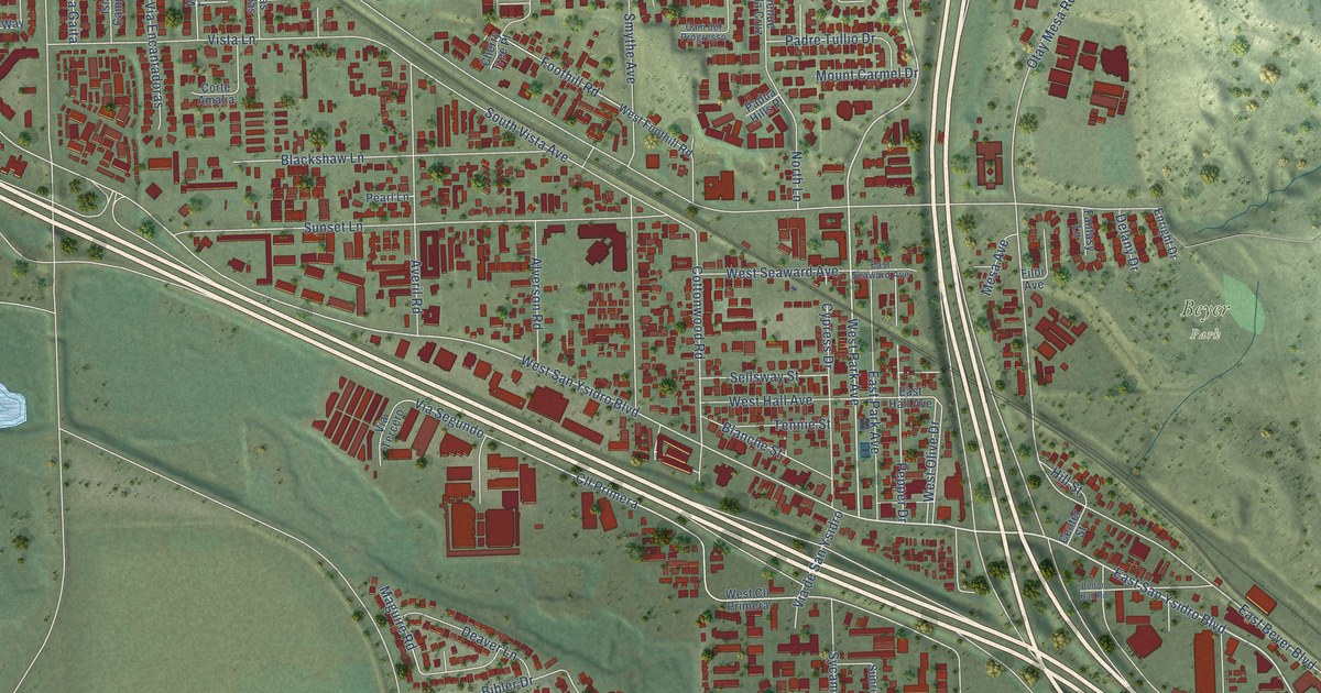
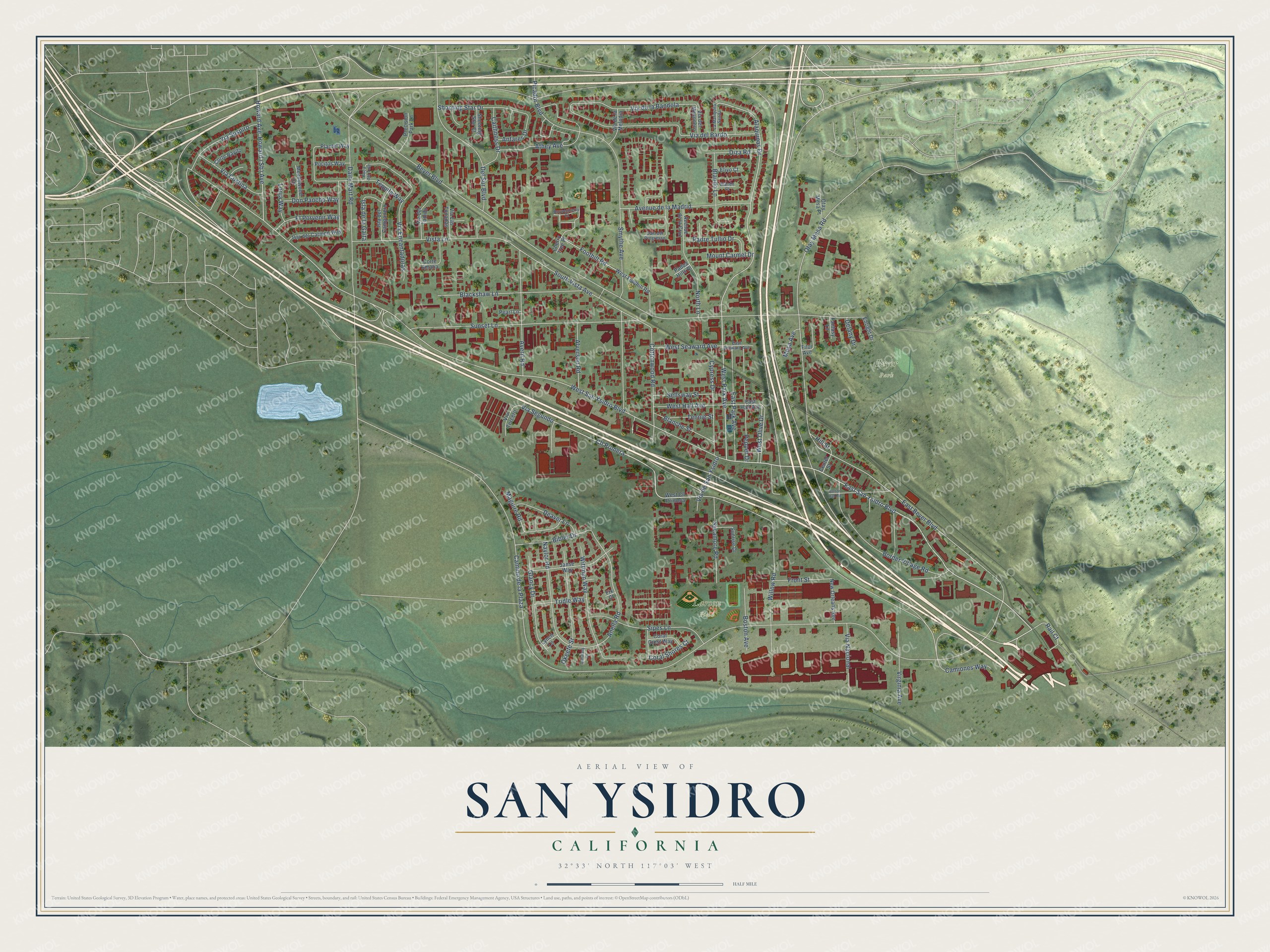
This beautifully detailed map of San Ysidro, California was created in 2026 using aerial imagery combined with modern topographical, census, street and landmark data. It's a modern aerial view of San Ysidro in San Diego County, California, that combines modern data with a vintage aesthetic. The roads feature printed names, and if you look closely you can find your exact house accurately shown in its correct location.
Explore an aerial view of San Ysidro, California
On this map you'll find Beyer Park, Larsen Field, East San Ysidro Boulevard, West Park Avenue, Alaquinas Drive, Via Segundo, West San Ysidro Boulevard, Cll Primera, Cottonwood Road, Otay Mesa Road, East Beyer Boulevard, South Vista Avenue, and more. Each red shape is a building, so zoom in on the preview and look for yours.
Every town has a first chapter, and San Ysidro is no exception. The City of San Diego puts it this way: "In the early 20th Century, Tia Juana Boulevard, (predecessor to present day San Ysidro Boulevard) ran parallel to the San Diego & Southern Railroad, and North and South Vista Avenues, ran parallel to the San Diego & Arizona railroad."
San Ysidro is a place in San Diego County.
Take a closer look at the San Ysidro map
Names on this map
These names are printed on this map.
Places: Beyer Park and Larsen Field.
Streets and roads: East San Ysidro Boulevard, West Park Avenue, Alaquinas Drive, Via Segundo, West San Ysidro Boulevard, Cll Primera, Cottonwood Road, Otay Mesa Road, East Beyer Boulevard, South Vista Avenue, Anella Road, Via de la Bandola.
More street names, A to Z
Alverson Road, Antares Drive, Athey Avenue, Avenue de la Cruz, Avenue de la Madrid, Averil Road, Beyer Boulevard, Bibler Drive, Blackshaw Lane, Blanche Street, Blando Court, Blando Lane, Boca del Tule, Bolton Hall Road, Border Village Road, Boston Avenue, Boysenberry Court, Caithness Drive, Cam del Progresso, Camino de la Plaza, Camiones Way, Center Street, Cherry Tree Place, Coral Crest Way, Coral Shores Court, Corte Amalia, Corte Rayito, Cypress Drive, Dairy Mart Road, Deaver Lane, Delany Drive, Del Sur Boulevard, Diza Road, Don Pancho Way, East Hall Avenue, East Park Avenue, East Seaward Avenue, Elivo Court, El Porvenir Way, Enright Drive, Fantasy Lane, Filoi Avenue, Fix Court, Foothill Road, Front Street, Glancy Drive, Hill Street, Howard Avenue, Isla de la Gaita, Isla del Campanero, Isla del Carmen Way, Janse Way, La Mariquita Senda, Lonja Way, Lynch Lane, Maguire Road, Meadowood Court, Mesa Avenue, Mount Carmel Drive, Naylor Road, New Orleans Avenue, North Lane, Okeefe Street, Otay Mesa Place, Padre Tullio Drive, Padua Hills Place, Pearl Lane, Pepper Drive, Picador Boulevard, Plantel Way, Pocitos Way, Precision Park Lane, Quilalang Court, Rail Court, Sellsway Street, Shooting Star Court, Shooting Star Drive, Sipes Lane, Smythe Avenue, Sunrise Drive, Sunset Lane, Sycamore Road, Tennie Street, Tequila Way, Tridle Way, Via Costina, Via de la Melodia, Via del Bardo, Via del Mesonero, Via del Tanido, Via de San Ysidro, Via Encantadoras, Via Las Tonadas, Via Nacional, Via Suspiro, Via Tercero, Virginia Avenue, Vista Lane, West Cll Primera, West Foothill Road, West Hall Avenue, West Olive Drive, West Seaward Avenue, Willow Road, Wittman Way.
Created by KNOWOL in 2026. The buildings are small red shapes, the roads carry their printed names, and shaded relief shows the shape of the land. The title panel reads "AERIAL VIEW OF SAN YSIDRO CALIFORNIA" with 32°33' NORTH 117°03' WEST.
Hang it in the hallway, the office or the cabin, or give it to someone who left San Ysidro and still calls it home. Open the preview and look for a street you know. See sizes and frames for the San Ysidro map.