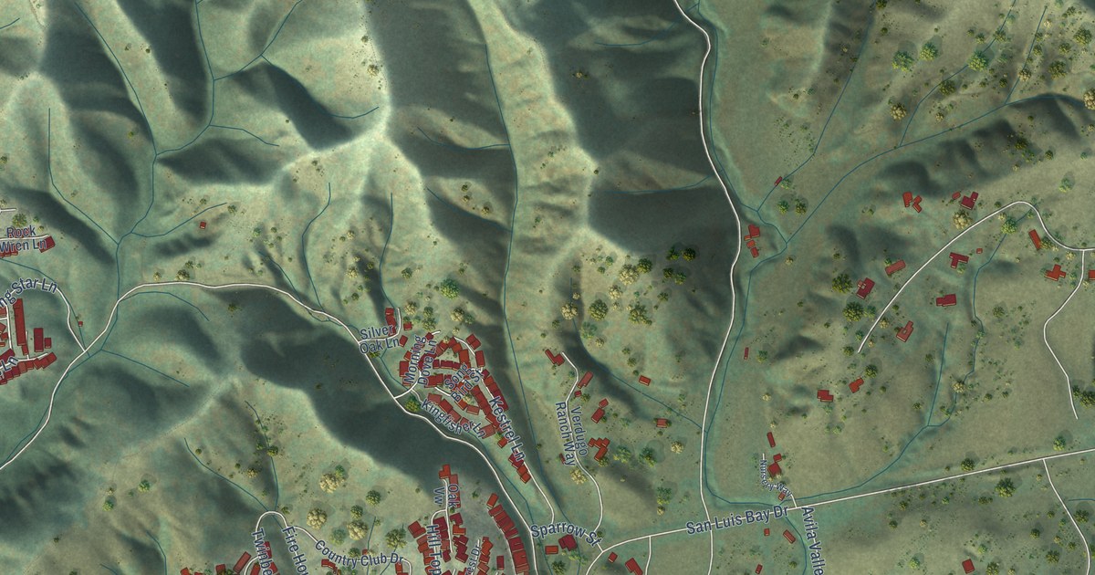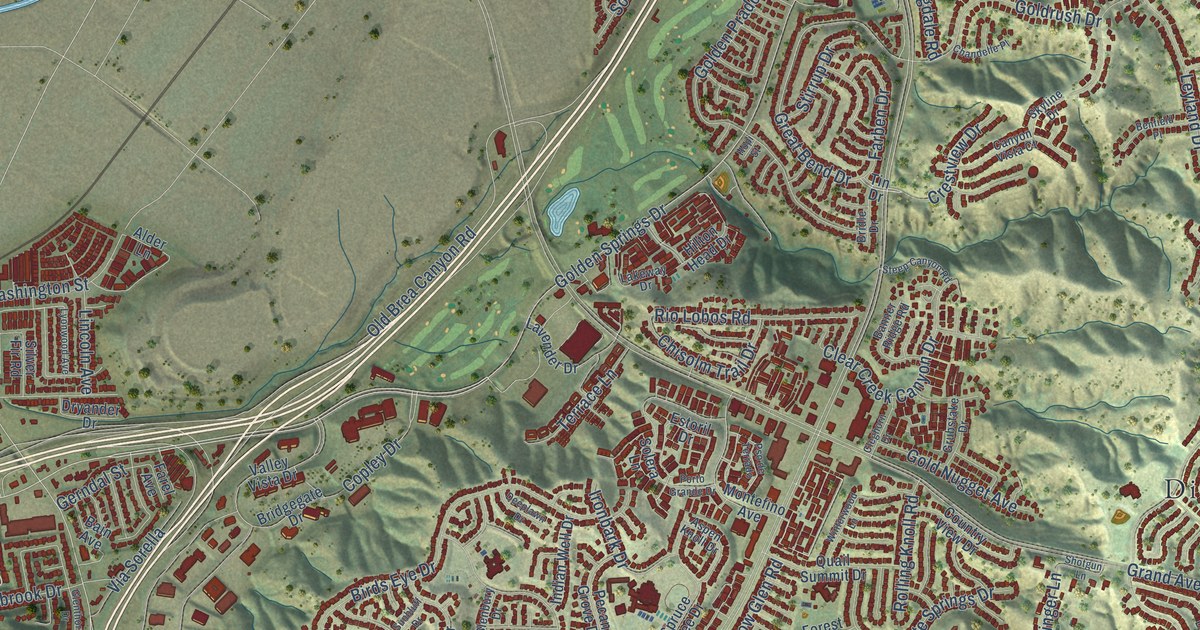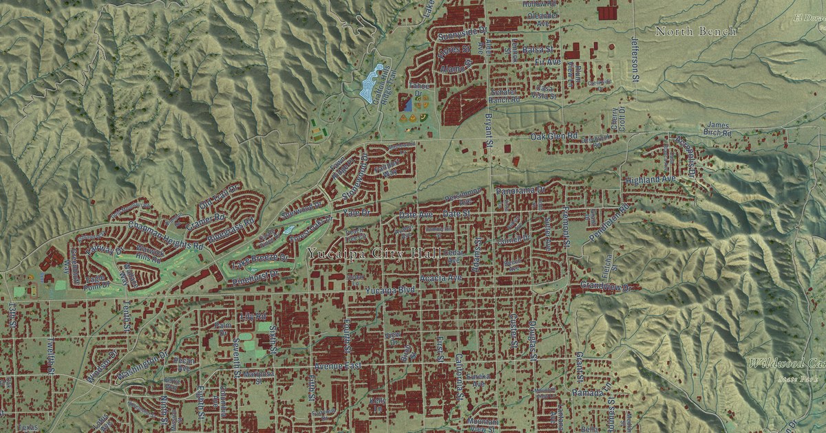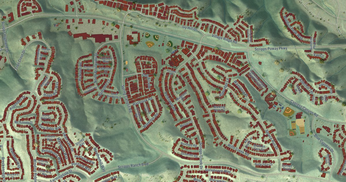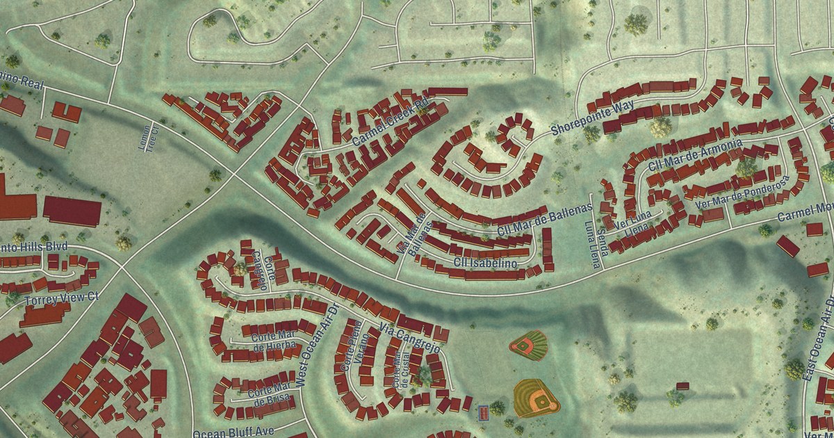
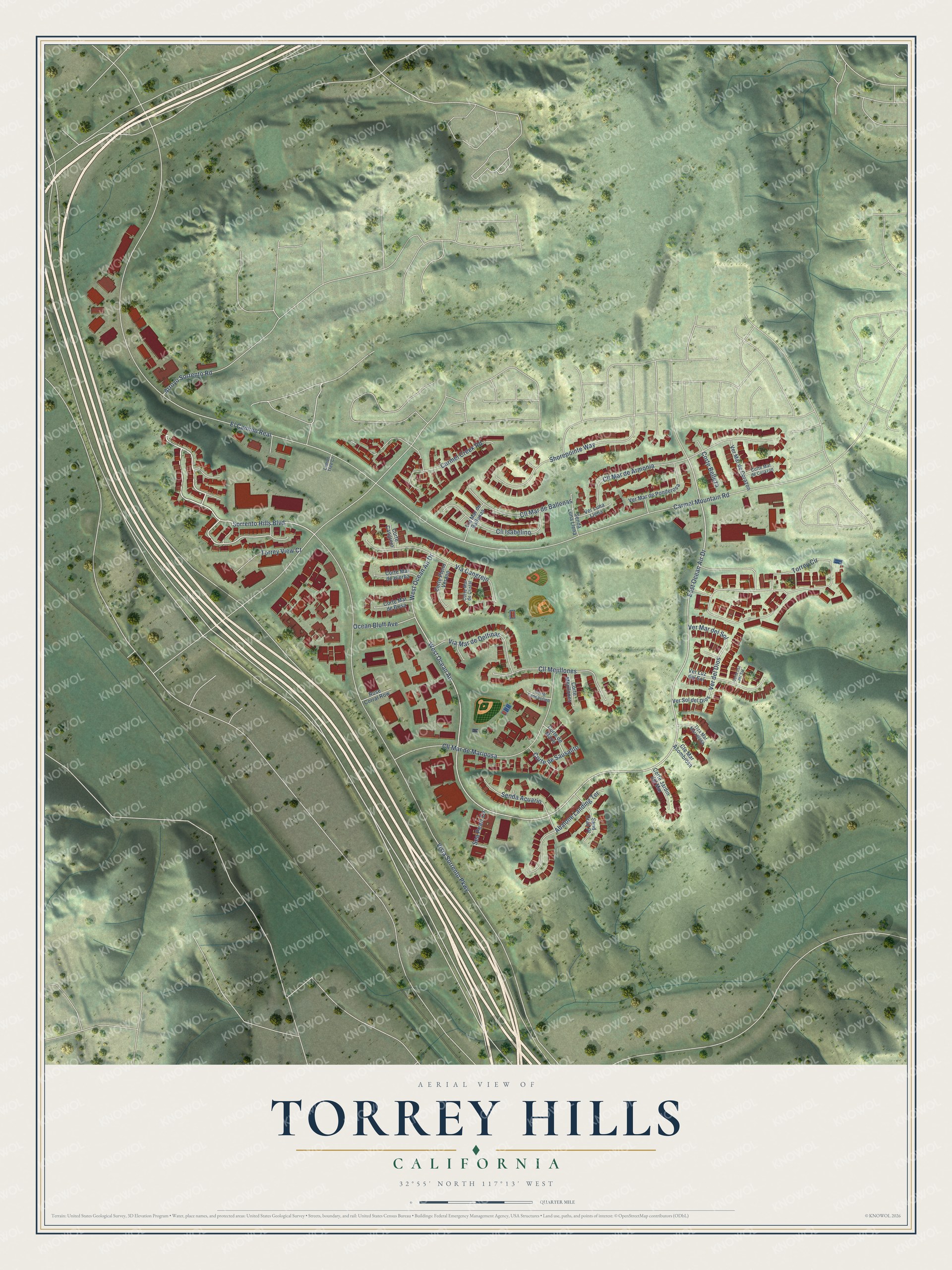
This beautifully detailed map of Torrey Hills, California was created in 2026 using aerial imagery combined with modern topographical, census, street and landmark data. It's a modern aerial view of Torrey Hills in San Diego County, California, that combines modern data with a vintage aesthetic. The roads feature printed names, and if you look closely you can find your exact house accurately shown in its correct location.
Explore an aerial view of Torrey Hills, California
On this map you'll find Torrey View Court, Sorrento Hills Boulevard, West Ocean Air, East Ocean Air Drive, West Ocean Air Drive, Torrey Circle, Ver del Dios, Carmel Mountain Road, Vista Sorrento Parkway, El Camino Real, Cll Mar de Mariposa, Cll Mar de Armonia, and more. Each red shape is a building, so zoom in on the preview and look for yours.
Torrey Hills has a story worth telling. The City of San Diego puts it this way: "In February 1980, Genstar-Peñasquitos (now AG Land Associates, LLC) dedicated a total of 1,806 acres of Los Peñasquitos Canyon to the City for use as a preserve. This action precisely defined the boundaries of the preserve as it borders the Torrey Hills property."
Torrey Hills is a place in San Diego County.
Take a closer look at the Torrey Hills map
Names on this map
These names are printed on this map.
Streets and roads: Torrey View Court, Sorrento Hills Boulevard, West Ocean Air, East Ocean Air Drive, West Ocean Air Drive, Torrey Circle, Ver del Dios, Carmel Mountain Road, Vista Sorrento Parkway, El Camino Real, Cll Mar de Mariposa, Cll Mar de Armonia.
More street names, A to Z
Abalone Landing Terrace, Arroyo Sorrento Road, Carmel Creek Road, Cll Isabelino, Cll Mar de Ballenas, Cll Mejillones, Corte Belleza, Corte Cangrejo, Corte de Marin, Corte de Sausalito, Corte Jardin del Mar, Corte Langostino, Corte Luz del Sol, Corte Mar de Brisa, Corte Mar de Corazon, Corte Mar de Cristal, Corte Mar de Hierba, Corte Mejillones, Corte Pleno Verano, Cte Mar Asombrosa, Lemon Tree Court, Ocean Bluff Avenue, Rose Corral Row, Sand Crab Place, Sea Pearl Cv, Senda Acuario, Senda Luna Llena, Shorepointe Way, Trza Mar Marvelosa, Ver Luna Llena, Ver Luz del Sol, Ver Mar de Corazon, Ver Mar del Sol, Ver Mar de Ponderosa, Ver Sol del Dios, Via Cangrejo, Via Mar de Ballenas, Via Mar de Delfinas.
Created by KNOWOL in 2026. The buildings are small red shapes, the roads carry their printed names, and shaded relief shows the shape of the land. The title panel reads "AERIAL VIEW OF TORREY HILLS CALIFORNIA" with 32°55' NORTH 117°13' WEST.
It looks right in a kitchen, an office or a den, and it's a gift for anyone who grew up in Torrey Hills or moved away. Open the preview and find your street. See sizes and frames for the Torrey Hills map.