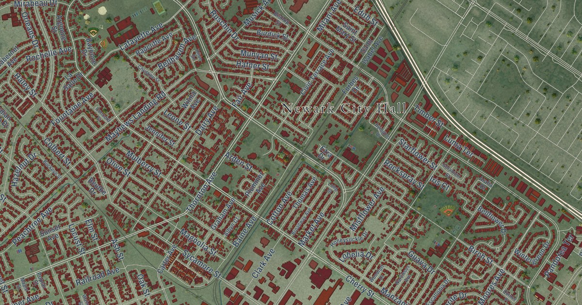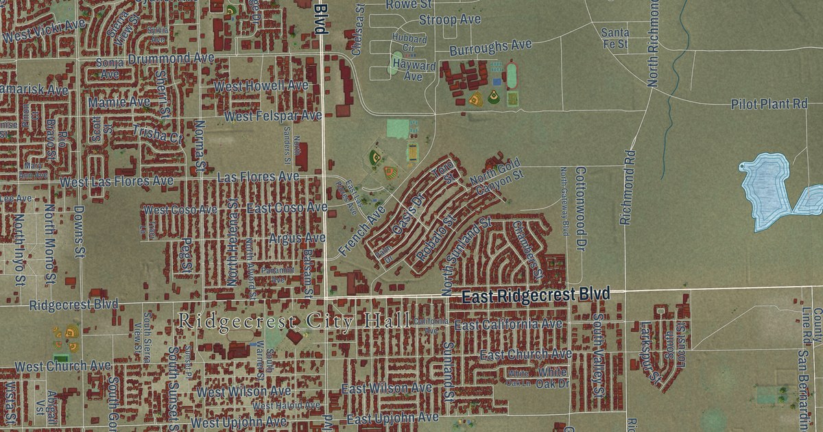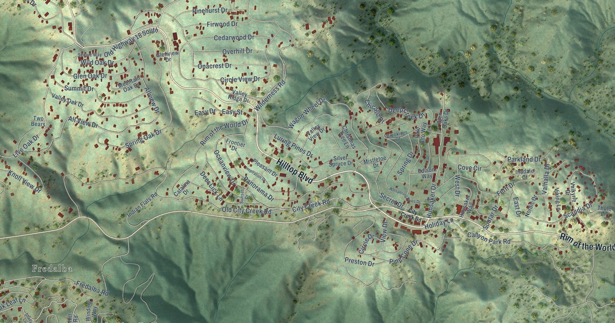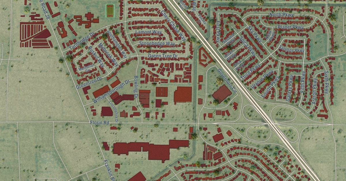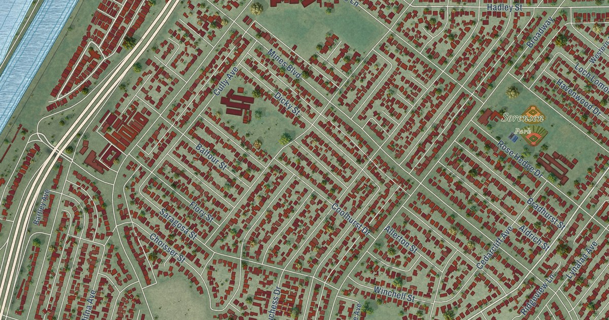
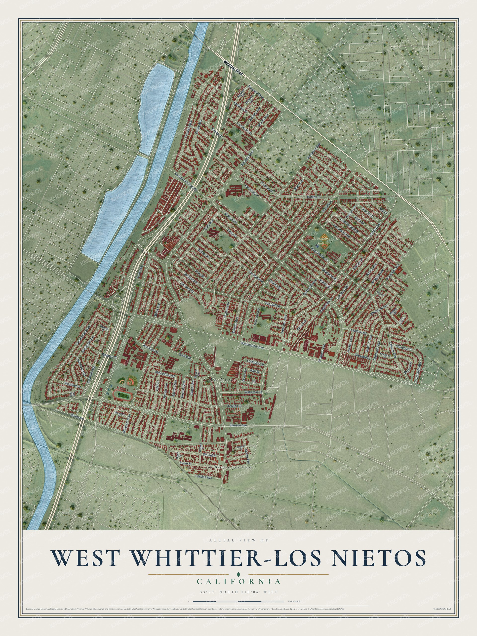
This beautifully detailed map of West Whittier-Los Nietos, California was created in 2026 using aerial imagery combined with modern topographical, census, street and landmark data. It's a modern aerial view of West Whittier-Los Nietos in Los Angeles County, California, that combines modern data with a vintage aesthetic. The roads feature printed names, and if you look closely you can find your exact house accurately shown in its correct location.
Explore an aerial view of West Whittier-Los Nietos, California
On this map you'll find Sorensen Park, Los Nietos, Los Nietos Junction, Whittier Boulevard, Saragosa Street, Gretna Avenue, Hadley Street, Westman Avenue, Summerfield Avenue, Slauson Avenue, Pioneer Boulevard, Norwalk Boulevard, and more. Each red shape is a building, so zoom in on the preview and look for yours.
West Whittier-Los Nietos is a community in Los Angeles County. The Census Bureau counted 25,325 people here in 2020. The map prints the town name in its title panel, with the coordinates below it.
Take a closer look at the West Whittier-Los Nietos map
Names on this map
These names are printed on this map.
Places: Sorensen Park, Los Nietos and Los Nietos Junction.
Streets and roads: Whittier Boulevard, Saragosa Street, Gretna Avenue, Hadley Street, Westman Avenue, Summerfield Avenue, Slauson Avenue, Pioneer Boulevard, Norwalk Boulevard, Washington Boulevard, Duchess Drive, Broadway.
More street names, A to Z
Abbotsford Road, Aeolian Street, Alburtis Avenue, Aldrich Street, Allerton Street, Appledale Avenue, Balfour Street, Bartley Avenue, Ben Avon Street, Bexley Drive, Blackford Avenue, Blanding Street, Bluecrest Lane, Boer Avenue, Bradhurst Street, Bradwell Avenue, Burke Street, Calobar Avenue, Cedarcliff Avenue, Chatfield Avenue, Choisser Street, Clive Avenue, Coolhurst Drive, Crowndale Avenue, Cully Avenue, Danby Avenue, Decosta Avenue, Dicky Street, Disney Avenue, Dunlap Crossing Road, Eddystone Street, Flallon Avenue, Flory Street, Glengarry Avenue, Godoy Street, Grady Avenue, Greyford Street, Halray Avenue, Havenwood Drive, Holbrook Street, Keith Drive, Kengard Avenue, Lambert Road, Lindenvale Road, Lins Avenue, Loch Avon Drive, Lochinvar Street, Loch Lomond Drive, Lynalan Avenue, McNees Avenue, Millergrove Drive, Milna Avenue, Mines Boulevard, Morrill Avenue, Nan Street, Oberon Street, Orange Street, Perkins Avenue, Pleasant Way, Ramey Road, Redman Avenue, Reichling Lane, Rexall Avenue, Ridgeview Lane, Rincon Drive, Rivera Road, Rockne Avenue, Rose Hedge Drive, Sal Avenue, Sanger Avenue, See Drive, Shadyside Avenue, Short Street, Shubin Lane, Skabo Avenue, Sorensen Avenue, South Balfour Street, Thornlake Avenue, Townley Drive, Vanport Avenue, Verbeck Street, Vicki Drive, Waddell Street, Wakeman Street, Walnut Street, Wellsford Avenue, Western Avenue, Wexford Avenue, Wheelock Street, Winchell Street, Woodhue Street.
Created by KNOWOL in 2026. The buildings are small red shapes, the roads carry their printed names, and shaded relief shows the shape of the land. The title panel reads "AERIAL VIEW OF WEST WHITTIER-LOS NIETOS CALIFORNIA" with 33°59' NORTH 118°04' WEST.
It suits a den, a classroom or a front hall, and it makes a gift for anyone with West Whittier-Los Nietos roots. Open the preview and find the block you know. See sizes and frames for the West Whittier-Los Nietos map.