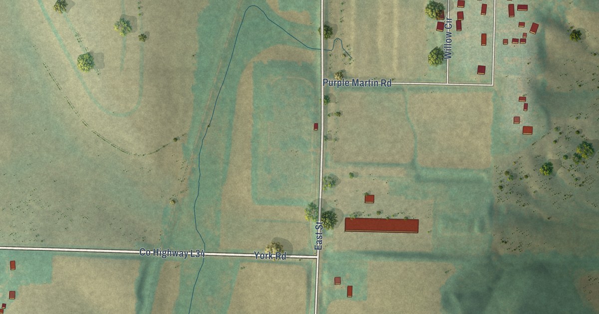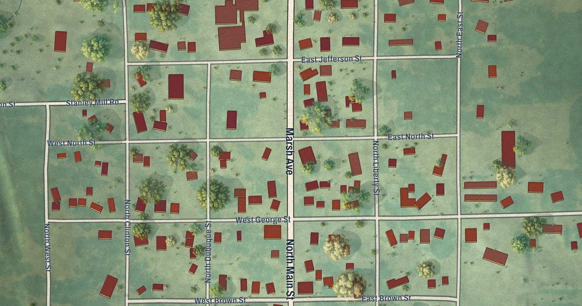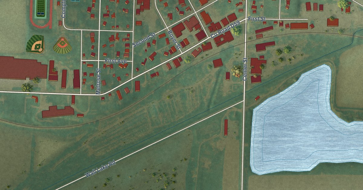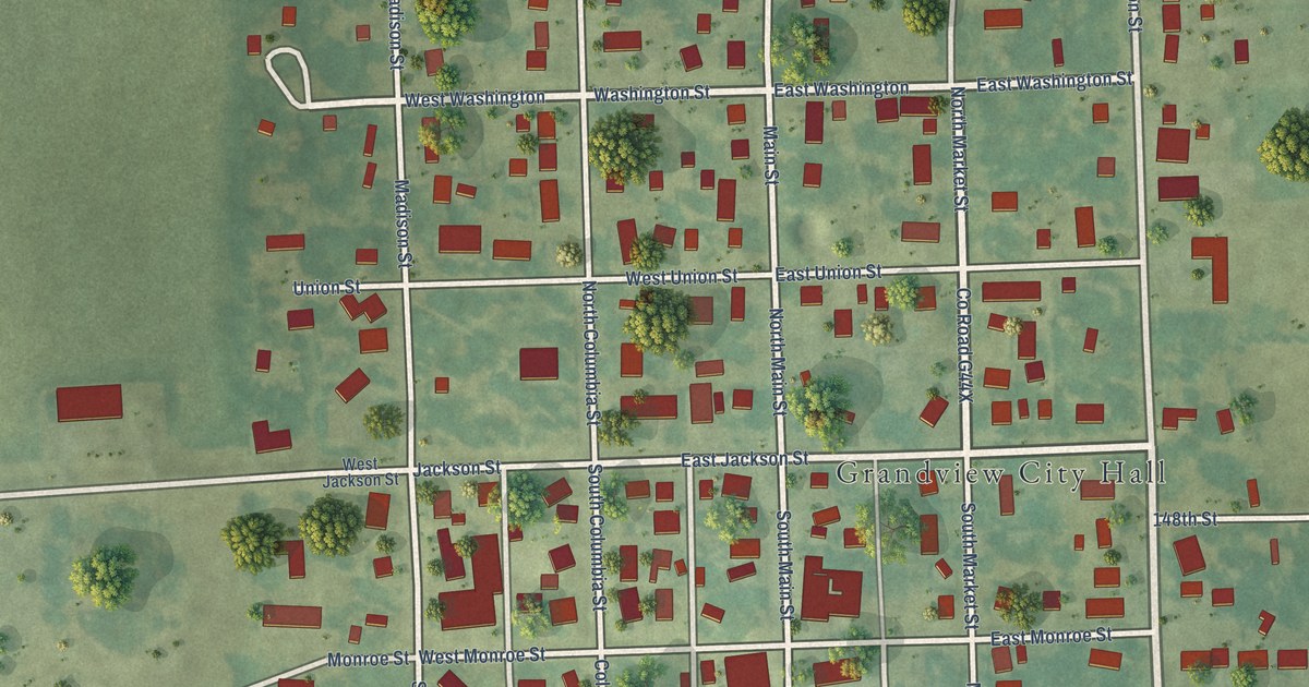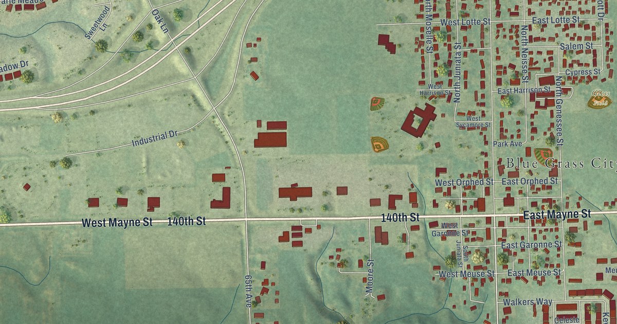
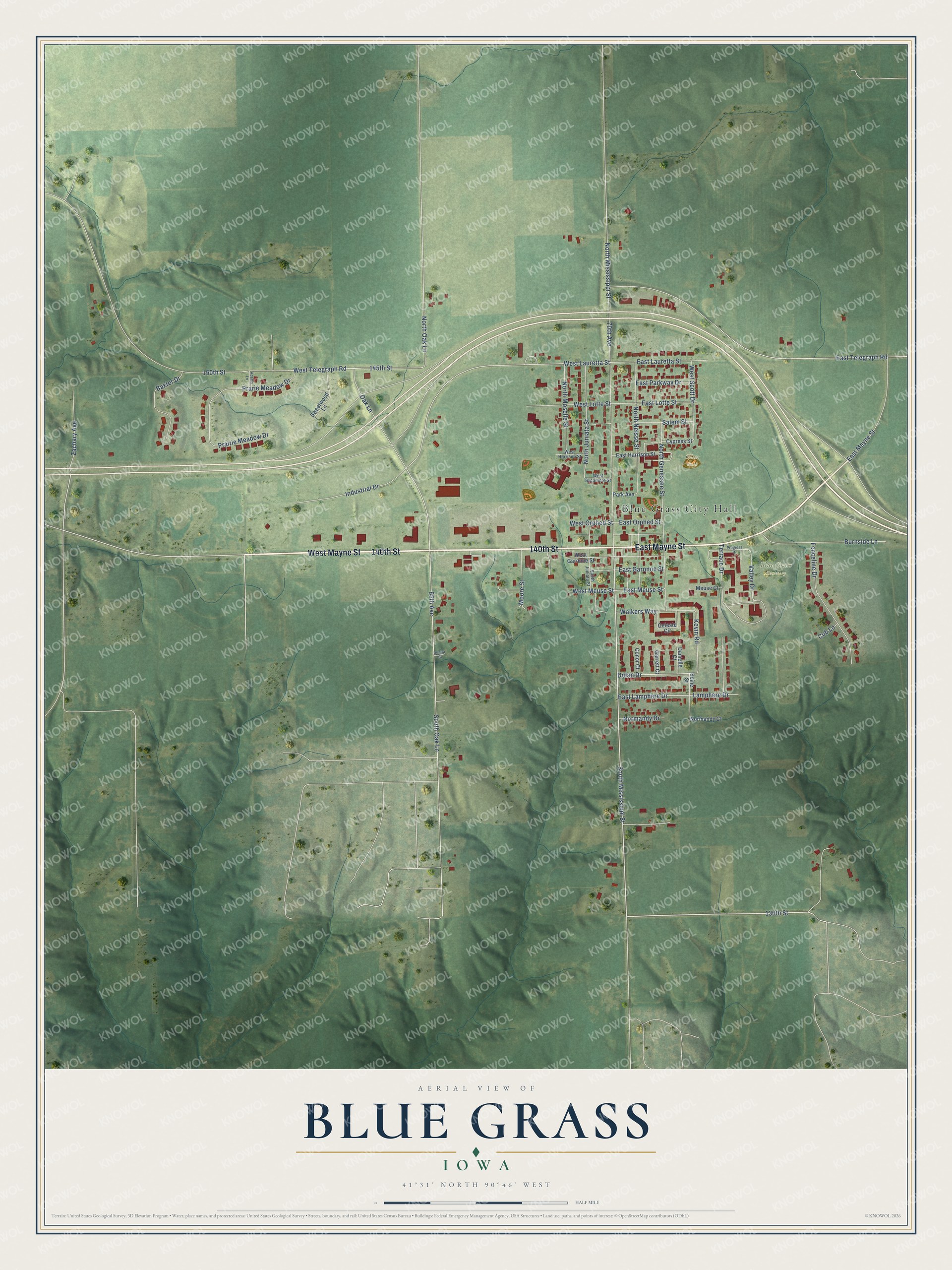
This beautifully detailed map of Blue Grass, Iowa was created in 2026 using aerial imagery combined with modern topographical, census, street and landmark data. It’s a one-of-a-kind view of Blue Grass that combines accurate data with a vintage aesthetic. The map shows every building in its true location, many of the roads carry their names, and the shaded topographic relief shows the shape of the land.
Explore an aerial view of Blue Grass, Iowa
On the map you’ll find Blue Grass City Hall, Blue Grass Cemetery, and Gless Field, along with West Mayne Street, 140th Street, East Mayne Street, South Mississippi Street, 130th Street, West Lauretta Street, East Garonne Street, Kevin Road, 145th Street, and more. If you look closely you can even find your house accurately drawn in its correct location. Zoom in on the preview to look for yours.
Did you know this piece of Blue Grass, Iowa history?
From the History of Scott County: "The first store was opened by a merchant of Muscatine in 1852, and was succeeded by that of John Baker in the spring of 1853. The first blacksmith was Christ Meeke, in 1852."
Take a closer look at the Blue Grass map
Street and place names on the Blue Grass, Iowa map
These names are printed on the map of Blue Grass, Iowa.
Places: Blue Grass City Hall, Blue Grass Cemetery and Gless Field.
Streets and roads: West Mayne Street, 140th Street, East Mayne Street, South Mississippi Street, 130th Street, West Lauretta Street, East Garonne Street, Kevin Road, 145th Street, North Oak Lane, West Telegraph Road, Prairie Meadow Drive.
More street names, A to Z
65th Avenue, 70th Avenue, 150th Street, Adams Lane, Baxter Drive, Bonita Street, Burnside Lane, Celeste Circle, Conor Court, Cub Lane, Cypress Street, Danielle Court, Dolan Drive, East Harrison Street, East Lamphere Drive, East Lauretta Street, East Lotte Street, East Meuse Street, East Orphed Street, East Parkway Drive, East Telegraph Road, Fenceline Drive, Garrett Court, Industrial Drive, Lamphere Drive, Meuse Court, Moore Street, Normandy Court, Normandy Drive, North Genessee Street, North Juniata Street, North Mississippi Street, North Moselle Street, North Neisse Street, Oak Lane, Park Avenue, Prarie Meadow Drive, Progress Drive, Salem Street, Seine Street, South Juniata Street, South Oak Lane, Sweetwood Lane, Terrace Drive, Valley Drive, Walkers Way, West Garonne Street, West Harrison Street, West Lotte Street, West Meuse Street, West Orphed Street, West Scott Drive, West Sycamore Street, Zachary Avenue.
See the Blue Grass, Iowa map on a wall
The Blue Grass map as an 18 x 24 inch print in a black frame.

This beautifully detailed map of Blue Grass makes an attractive addition to your office, library, or den, and it can even be used to teach children the geography and history of the area. It also makes a great gift for anyone who grew up in Blue Grass or moved away. When you’re done exploring, click here to get your copy of the Blue Grass map.