The KNOWOL atlas IowaFind your place
Iowa Map Prints
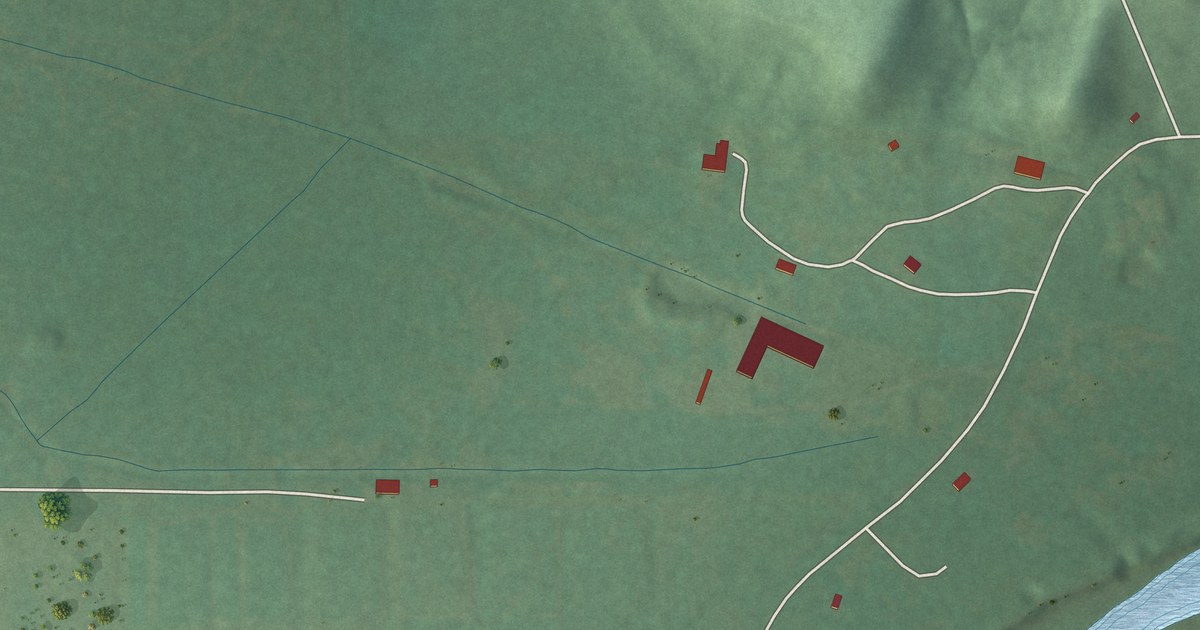
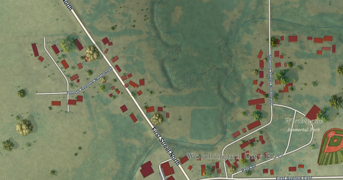
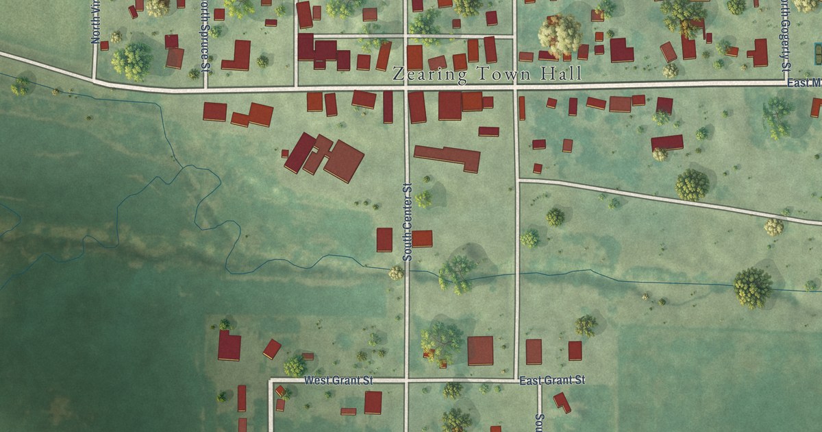
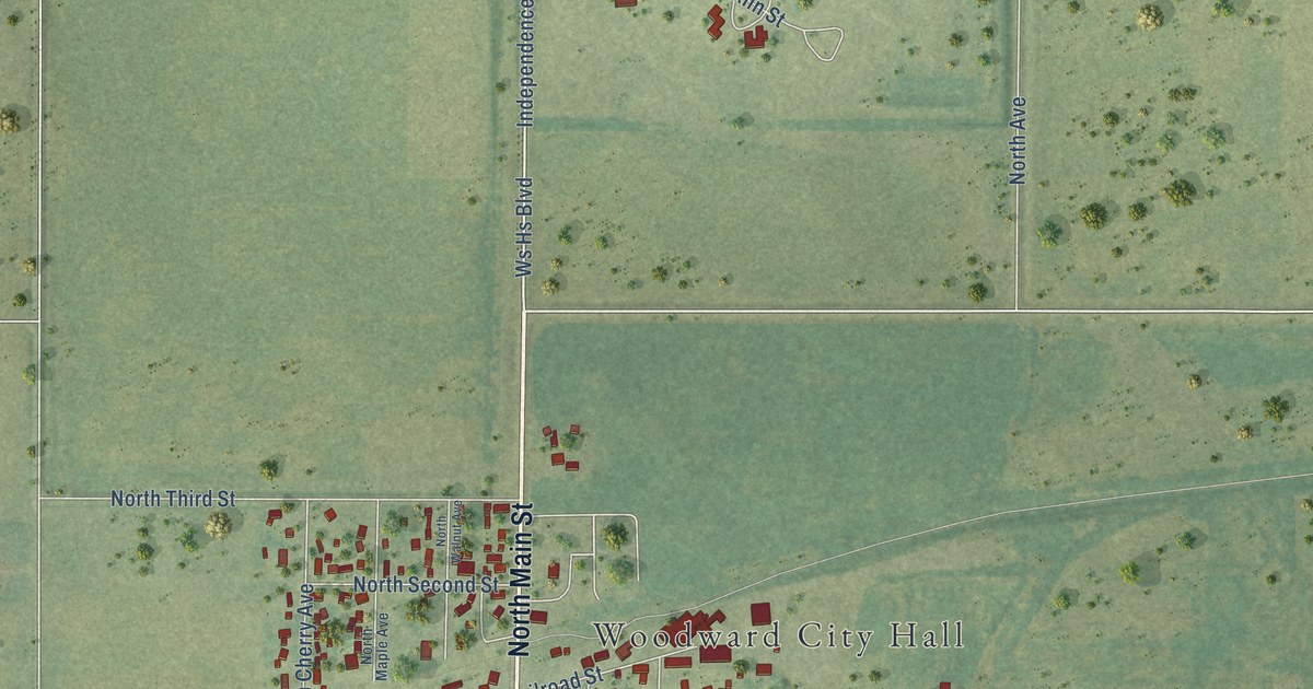
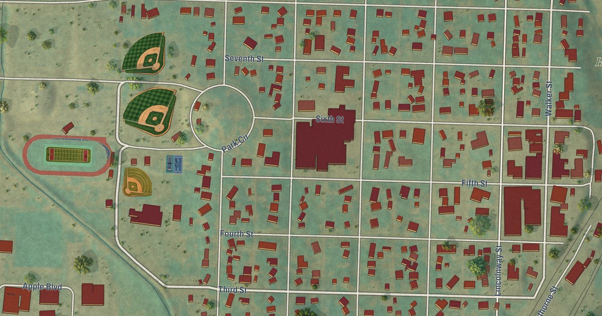
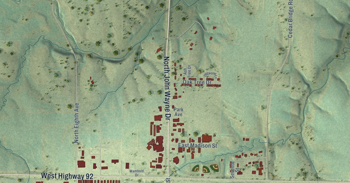
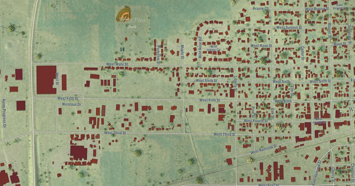
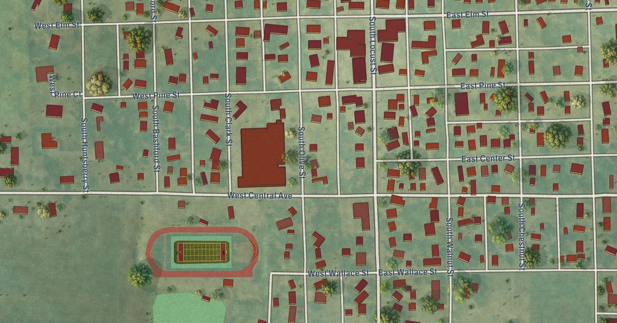
Find your town on this map of Iowa, drawn with the detail and character of an old atlas, then look for your street.
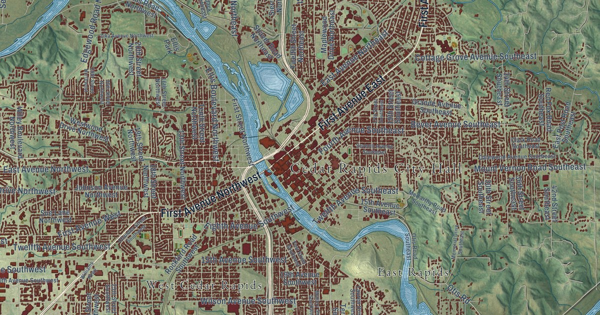
Linn CountyCedar Rapids
↗Every place has a story
Let’s find yours.
Find your town on the map,
or search it by name.
Adair County
Adams County
Allamakee County
Appanoose County
Audubon County
Benton County
Black Hawk County
Boone County
Bremer County
Buchanan County
Buena Vista County
Butler County
Calhoun County
Carroll County
Cass County
Cedar County
Cerro Gordo County
Cherokee County
Chickasaw County
Clarke County
Clay County
Clayton County
Clinton County
Crawford County
Dallas County
Davis County
Decatur County
Delaware County
Des Moines County
Dickinson County
Dubuque County
Emmet County
Fayette County
Floyd County
Franklin County
Fremont County
Greene County
Grundy County
Guthrie County
Hamilton County
Hancock County
Hardin County
Harrison County
Henry County
Howard County
Humboldt County
Ida County
Iowa County
Jackson County
Jasper County
Jefferson County
Johnson County
Jones County
Keokuk County
Kossuth County
Lee County
Linn County
Louisa County
Lucas County
Lyon County
Madison County
Mahaska County
Marion County
Marshall County
Mills County
Mitchell County
Monona County
Monroe County
Montgomery County
Muscatine County
O'Brien County
Osceola County
Page County
Palo Alto County
Plymouth County
Pocahontas County
Polk County
Pottawattamie County
Poweshiek County
Ringgold County
Sac County
Scott County
Shelby County
Sioux County
Story County
Tama County
Taylor County
Union County
Van Buren County
Wapello County
Warren County
Washington County
Wayne County
Webster County
Winnebago County
Winneshiek County
Woodbury County
Worth County
Wright County
Your place might still be on its way.
Try another spelling, choose a different county, or reset your search.
Request a map of your town ↗Each place opens its map.Take a little detour ↓
Worth a closer look
A few places to begin.
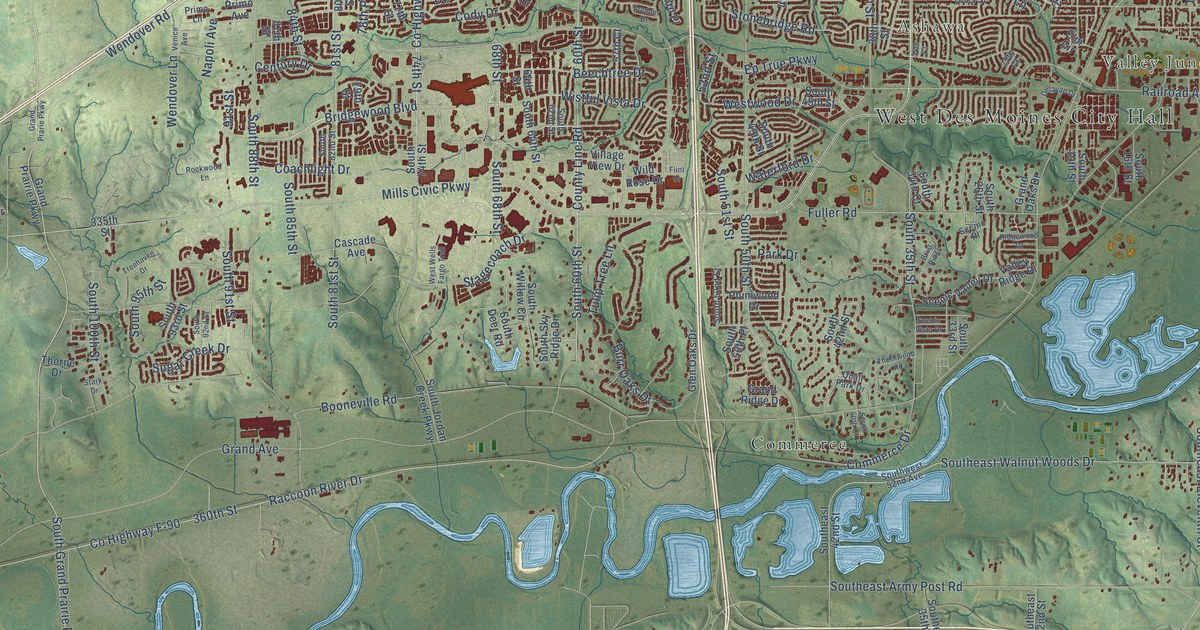
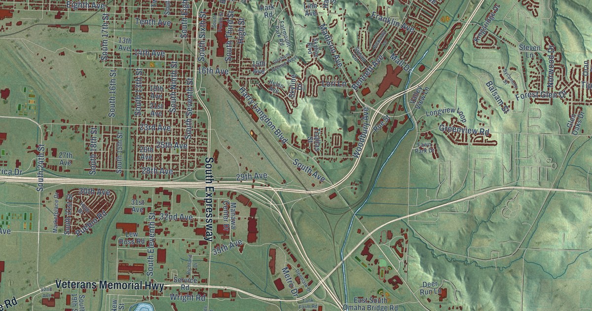
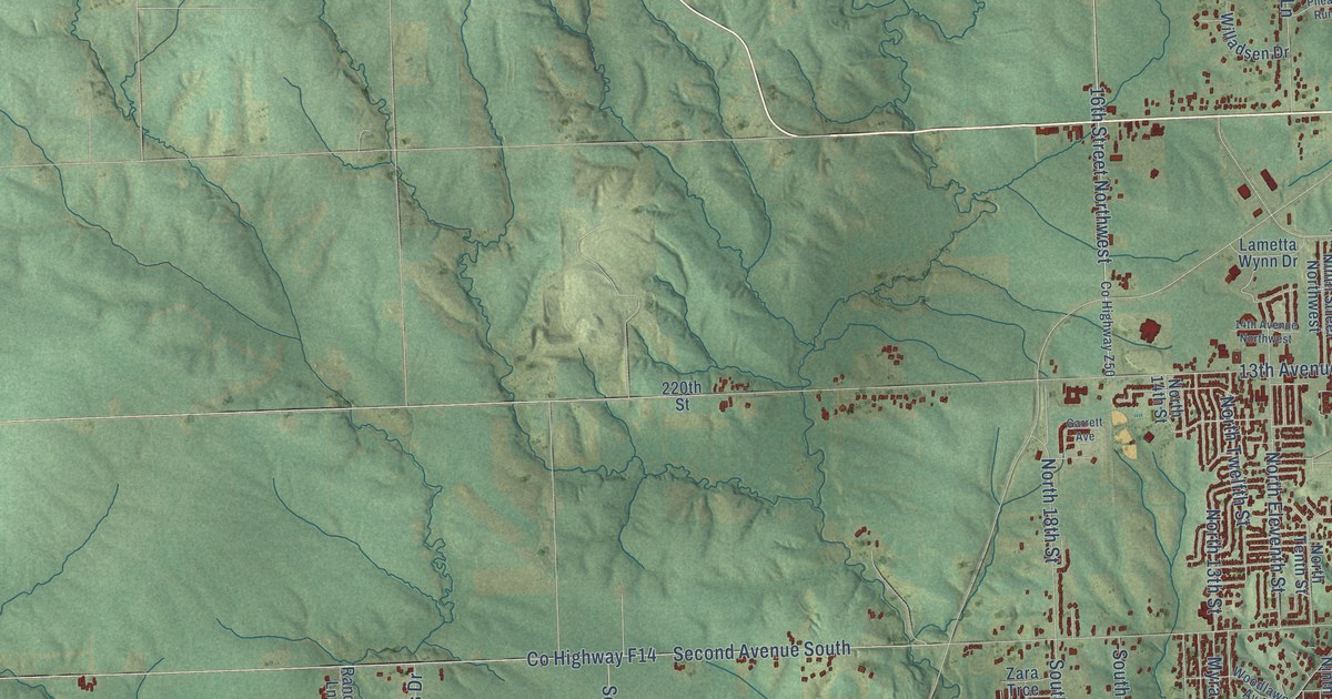
Follow a familiar street. Find a new favorite. There is a story in the detail.
Made for the place you love
A little closer.
A little more familiar.
A bend in the river. The street you grew up on. The shape of the town you still call home. A map brings those small, familiar things together in one place.
- 01Start with the real place.
Streets, buildings, terrain, and water form the map.
- 02Bring the details together.
Local research and an old atlas style give each place its character.
- 03Make room for home.
Explore the map, then choose a print to keep or give.
Iowa, one place at a time.Find your town ↑