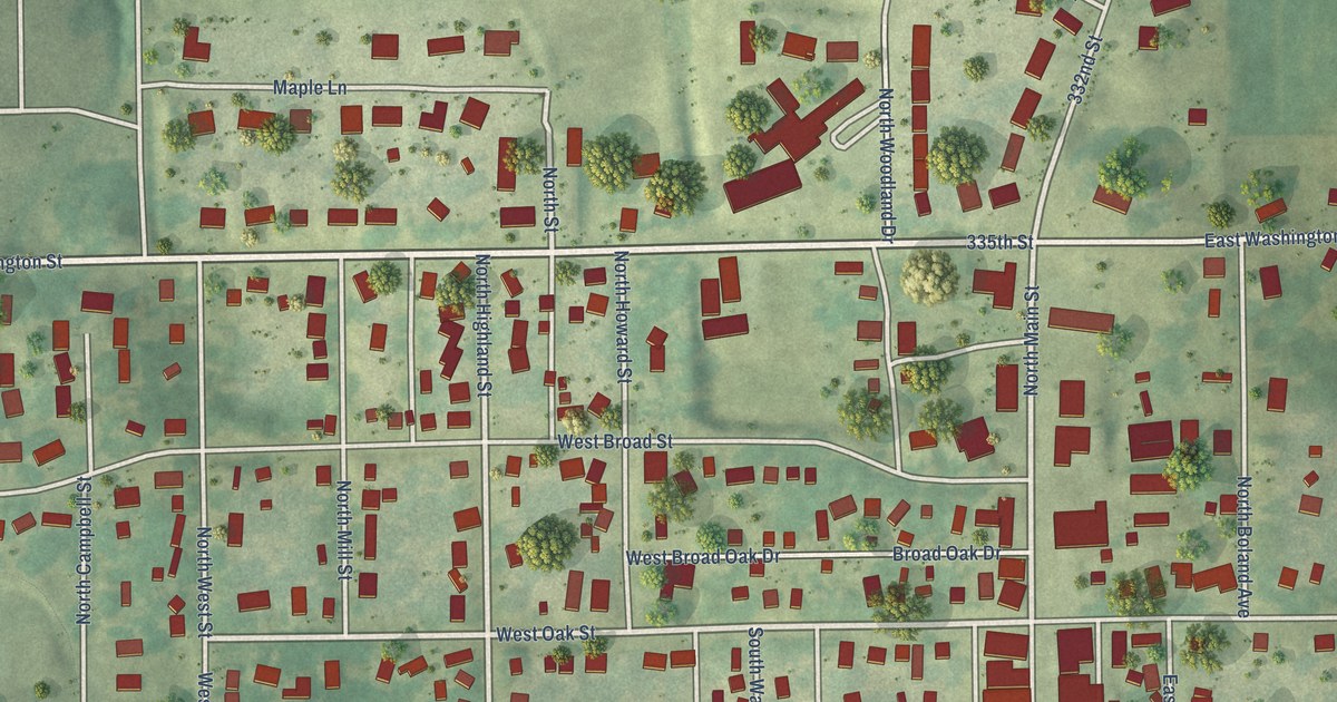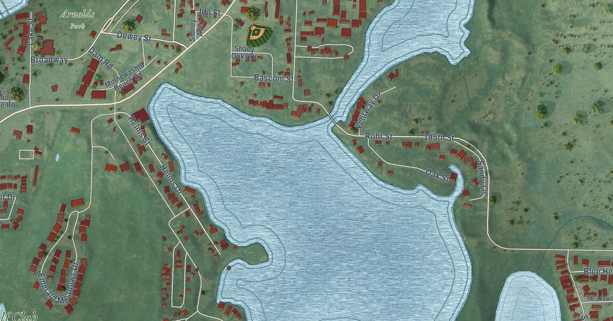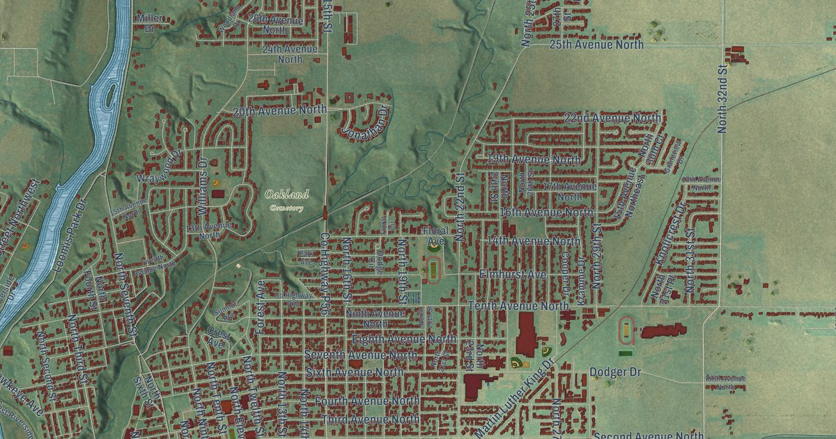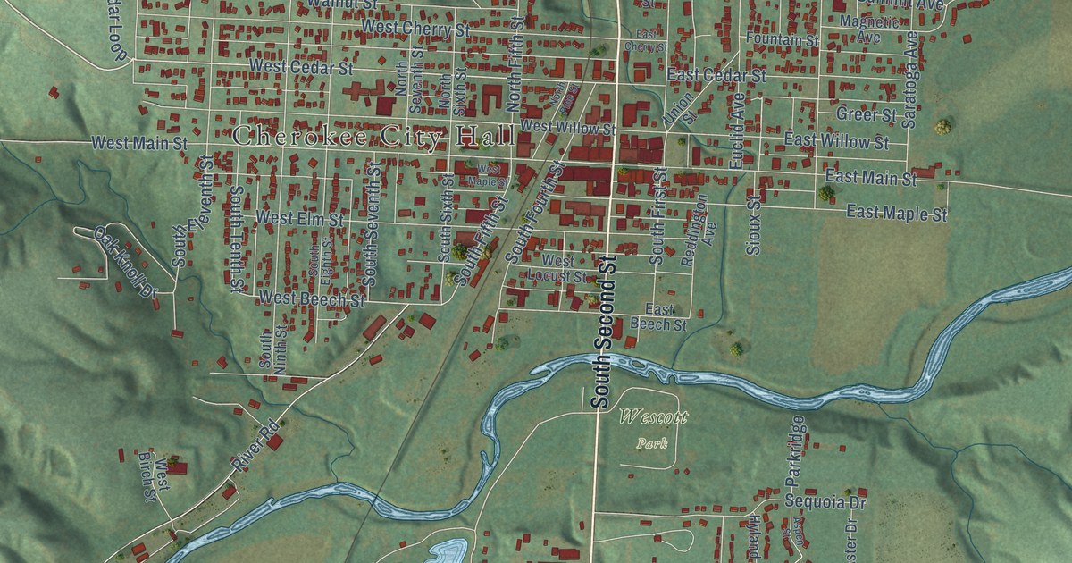
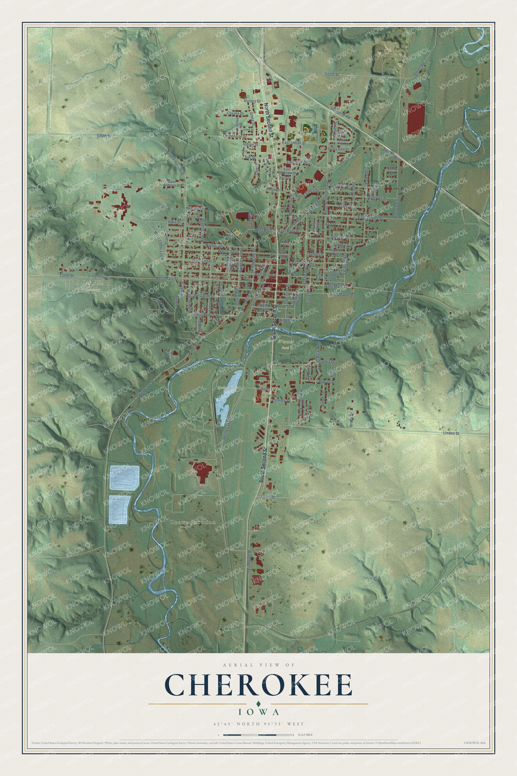
This beautifully detailed map of Cherokee, Iowa was created in 2026 using aerial imagery combined with modern topographical, census, street and landmark data. It's a modern aerial view of Cherokee in Cherokee County, Iowa, that combines modern data with a vintage aesthetic. The roads feature printed names, and if you look closely you can find your exact house accurately shown in its correct location.
Explore an aerial view of Cherokee, Iowa
On this map you'll find Cherokee City Hall, Onawa Junction, Oak Hill Cemetery, Spring Lake Park, Wescott Park, North Second Street, South Second Street, West Cedar Street, East Bow Drive, West Beech Street, Sac Street, Linden Street, and more. Each red shape is a building, so zoom in on the preview and look for yours.
Every town has a first chapter, and Cherokee is no exception. The Federal Writers' Project puts it this way: "The first town of Cherokee was founded in December, 1856, by a colony from Milford, Mass., on a site north of the present city. Blair City, another extinct village, was founded in 1869 SE. of Cherokee."
Cherokee is a city in Cherokee County. The Census Bureau counted 5,199 people here in 2020.
Take a closer look at the Cherokee map
Names on this map
These names are printed on this map.
Places: Cherokee City Hall, Onawa Junction, Oak Hill Cemetery, Spring Lake Park and Wescott Park.
Streets and roads: North Second Street, South Second Street, West Cedar Street, East Bow Drive, West Beech Street, Sac Street, Linden Street, 515th Street, West Main Street, South Fifth Street, South Eleventh Street, South Tenth Street.
More street names, A to Z
520th Street, 530th Street, 545th Street, Amber Drive, Arrow Street, Ash Street, Aspen Street, Aster Drive, Brady Drive, Centennial Drive, Central Street, Chief Street, Clark Street, Colony Drive, Cornelius Avenue, County Highway C38, County Highway L56, Coyote Drive, East Beech Street, East Bluff Street, East Cedar Street, East Cherry Street, East Indian Street, East Main Street, East Maple Street, East Ridgeview Drive, East Spruce Street, East Willow Street, Euclid Avenue, Flint Street, Fountain Street, Gillease Street, Gillette Drive, Greer Street, Greta Street, Harris Street, Hayward Street, Hickory Street, Hillcrest Street, Hillside Street, Hill Street, Hughes Avenue, Hyland Avenue, Indian Street, Industrial Road, Iowa Street, Jefferies Street, Lake Street, Lauri Lane, Linn Street, Magnetic Avenue, Matthew Street, North Eleventh Street, North Fifth Street, North First Street, North Ninth Street, North Pine Street, North Roosevelt Avenue, North Seventh Street, North Sixth Street, Oak Knoll Drive, Old 21 Road, Park Avenue, Parkridge, Pilot Avenue, Poplar Drive, Reddington Avenue, River Road, Riverview Drive, Rock Island Avenue, Saint Andrews Drive, Saratoga Avenue, Sequoia Drive, Sesame Street, Sherman Avenue, Sioux Street, Sioux Valley Drive, Sleezer Road, South Craig Drive, South Eighth Street, South First Street, South Fourth Street, South Ninth Street, South Seventh Street, South Sixth Street, Spring Lake Drive, State Street, Summit Avenue, Sumner Street, Susan Avenue, Union Street, Valley View Drive, Victory Drive, Walnut Street, Washborn Street, West Birch Street, West Bluff Street, West Bow Drive, West Cedar Loop, West Cherry Street, West Elm Street, West Locust Street, West Maple Street, West Willow Street, Wilson Avenue.
Created by KNOWOL in 2026. The buildings are small red shapes, the roads carry their printed names, and shaded relief shows the shape of the land. The title panel reads "AERIAL VIEW OF CHEROKEE IOWA" with 42°45' NORTH 95°33' WEST.
Hang it in the hallway, the office or the cabin, or give it to someone who left Cherokee and still calls it home. Open the preview and look for a street you know. See sizes and frames for the Cherokee map.