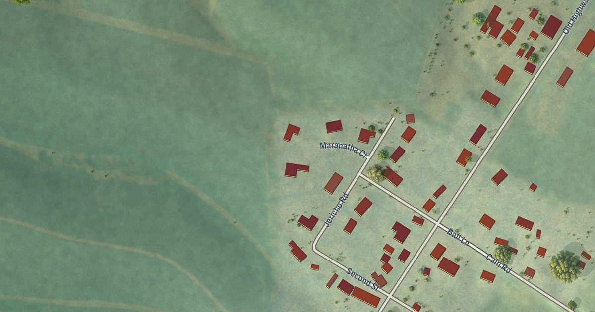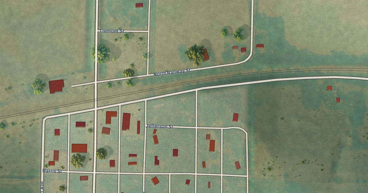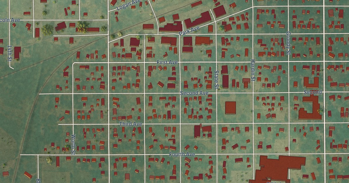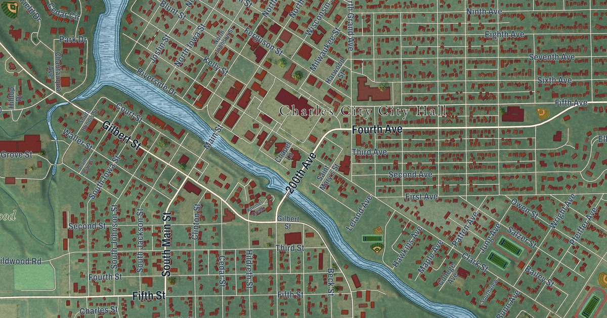
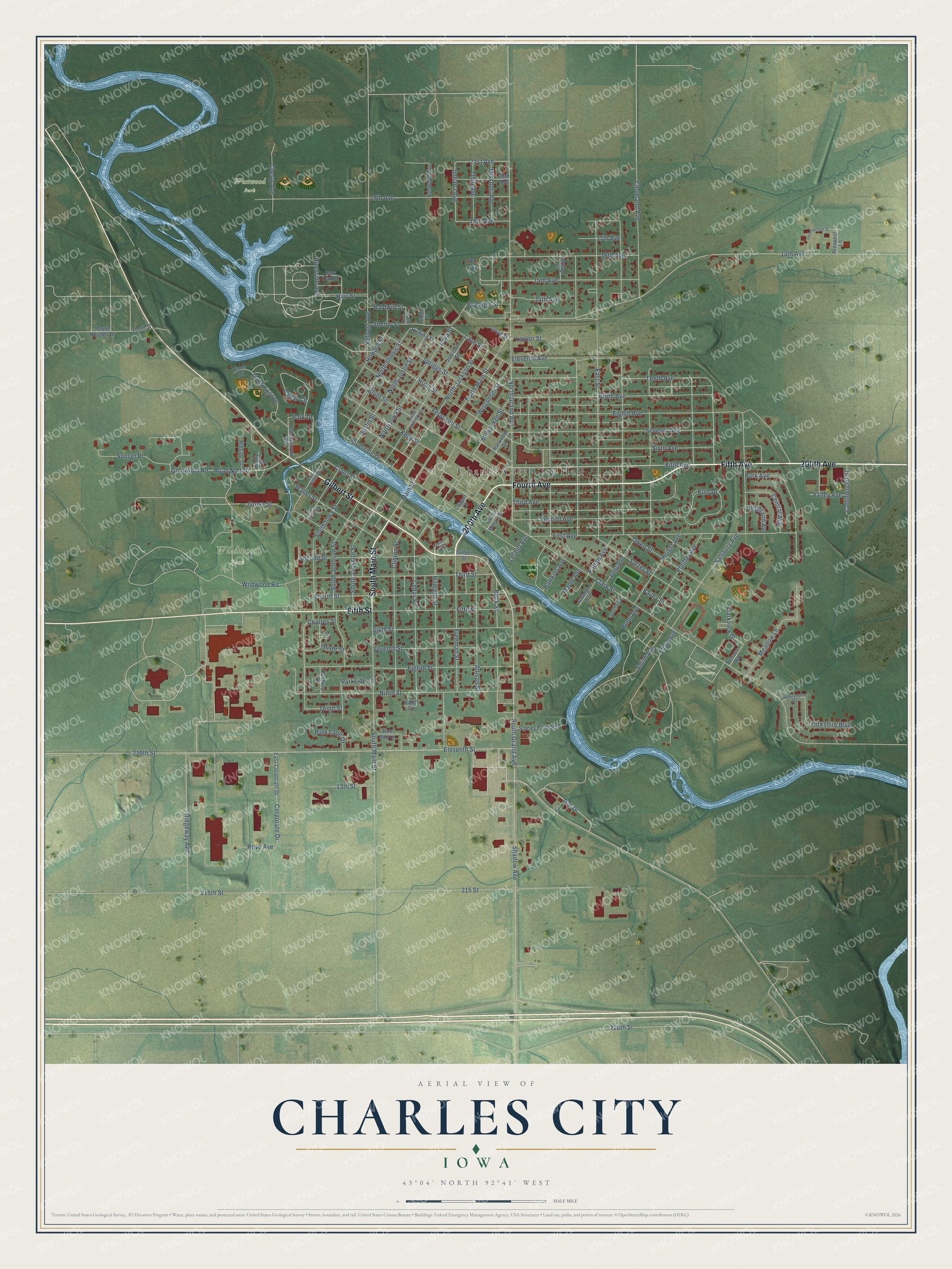
This beautifully detailed map of Charles City, Iowa was created in 2026 using aerial imagery combined with modern topographical, census, street and landmark data. It's a modern aerial view of Charles City in Floyd County, Iowa, that combines modern data with a vintage aesthetic. The roads feature printed names, and if you look closely you can find your exact house accurately shown in its correct location.
Explore an aerial view of Charles City, Iowa
On this map you'll find Westwood Park, Wildwood Park, Calvary Cemetery, 200th Avenue, Fourth Avenue, South Main Street, Fifth Avenue, Fifth Street, Gilbert Street, Gar Drive, Main Street, Sunset Place, and more. Each red shape is a building, so zoom in on the preview and look for yours.
Every town has a first chapter, and Charles City is no exception. The History of Floyd County puts it this way: "Joseph Kelly came to Floyd County in 1856, and laid out the town of Charles City, naming it for his son, and built the first saw-mill in the county."
Charles City is a city in Floyd County. The Census Bureau counted 7,396 people here in 2020.
Take a closer look at the Charles City map
Names on this map
These names are printed on this map.
Places: Charles City City Hall, Westwood Park, Wildwood Park and Calvary Cemetery.
Streets and roads: 200th Avenue, Fourth Avenue, South Main Street, Fifth Avenue, Fifth Street, Gilbert Street, Gar Drive, Main Street, Sunset Place, South Grand Avenue, 21st Avenue, Indiana Avenue.
More street names, A to Z
13th Avenue, 13th Street, 14th Avenue, 15th Avenue, 16th Avenue, 17th Avenue, 18th Avenue, 19th Avenue, 20th Avenue, 195th Street, 210th Street, 215 Street, 215th Street, 220th Street, Allison Street, Bailey Street, Baldwin Street, Beck Street, Bird Circle, Blunt Street, Brackett Street, Bunn Avenue, Burr Oak Drive, Cedar Circle, Cedar Street, Central Avenue, Chapel Lane, Charles Street, Chautauqua Avenue, Cherry Avenue, Clark Street, Clarkview Drive, Cleveland Avenue, Clinton Street, College Avenue, Commercial Street, Corporate Drive, Cottage Court, Court Street, Danbury Drive, Development Drive, East Corporate Drive, East Street, Eighth Avenue, Eighth Street, Eleventh Avenue, Eleventh Street, Ellis Drive, Ferguson Street, First Avenue, Fisher Street, Floyd Street, Fourth Street, Freeman Street, Glenwood Road, Grove Street, Hart Street, Harwood Street, Hawkins Avenue, Highland Avenue, Hildreth Street, Hillside Drive, Hilltop Drive, Howard Street, Hulin Street, Iowa Street, Johnson Street, Joslin Street, Jung Avenue, Kellogg Avenue, Kelly Street, Kenwood Avenue, Kneisel Creek, Lakeshore Drive, Lane Street, Lawler Street, Leland Avenue, Lions Drive, Lions Field Drive, Maple Avenue, Maple Heights Drive, Meadow Lane, Milwaukee Street, Missouri Avenue, Ninth Avenue, Ninth Street, North Grand Avenue, North Illinois, North Illinois Street, North Iowa Street, North Jackson Street, North Johnson Street, North Joslin Street, North Main Street, Ohio Avenue, Oliver Street, Owen Street, Park Avenue, Park Drive, Park Lane Drive, Parkside Lane, Patten Avenue, Pfeiffer Avenue, Prospect Lane, Riching Street, Riden Circle, Ridgeway Avenue, Riverside Avenue, Riverside Drive, Road No 170, Rob Roy Lane, Rove Avenue, Saint Mary's Street, Salsbury Avenue, Salzer Street, Second Avenue, Second Street, Seventh Avenue, Seventh Street, Shadow Avenue, Shaw Avenue, Shelby Street, Sixth Avenue, Sixth Street, Smith Avenue, South Illinois Street, South Iowa Street, South Jackson Street, South Johnson Street, South Joslin Street, Southview, Spriggs Street, Stoney Point Road, Tenth Avenue, Tenth Street, Terrace Road, Third Avenue, Third Street, Valley Avenue, Waller Street, Wildwood Road, Wisconsin Street, Wright Avenue, Yorkshire Boulevard.
Created by KNOWOL in 2026. The buildings are small red shapes, the roads carry their printed names, and shaded relief shows the shape of the land. The title panel reads "AERIAL VIEW OF CHARLES CITY IOWA" with 43°04' NORTH 92°41' WEST.
Hang it in the hallway, the office or the cabin, or give it to someone who left Charles City and still calls it home. Open the preview and look for a street you know. See sizes and frames for the Charles City map.