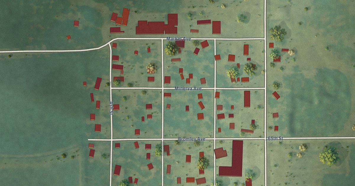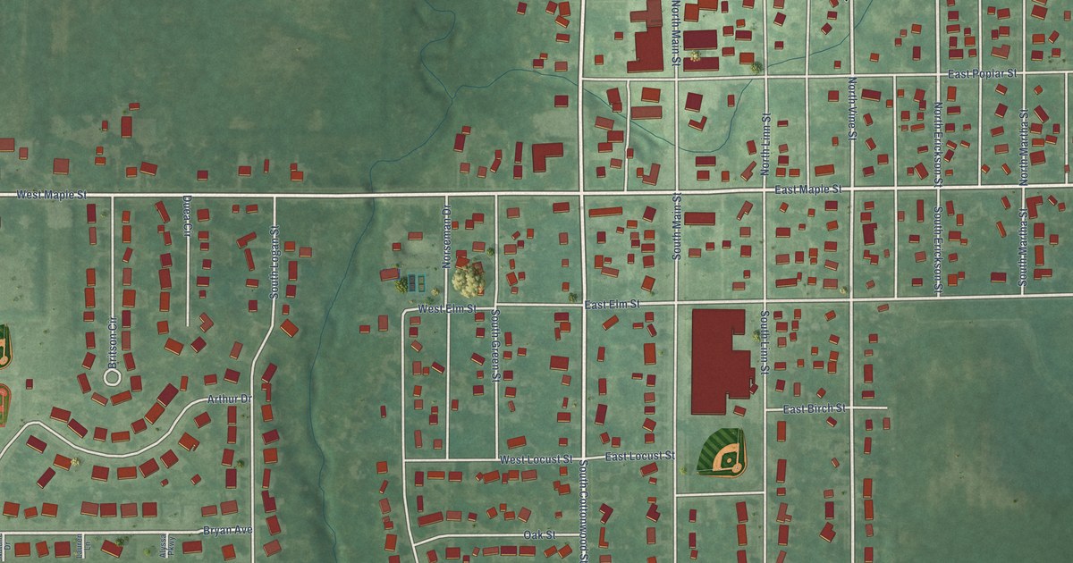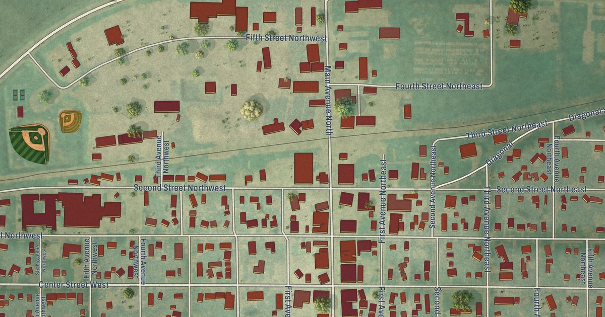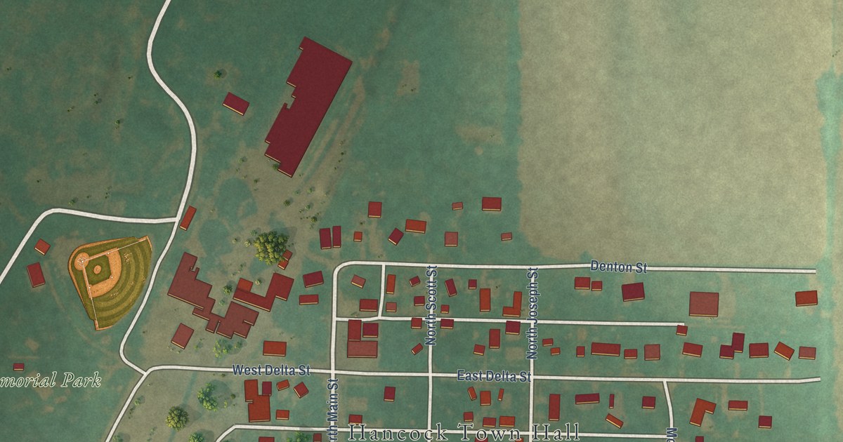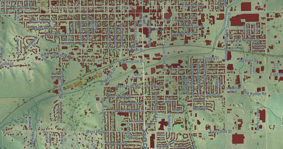
This beautifully detailed map of Marshalltown, Iowa was created in 2026 using aerial imagery combined with modern topographical, census, street and landmark data. It’s a one-of-a-kind view of Marshalltown that combines accurate data with a vintage aesthetic. The map shows every building in its true location, many of the roads carry their names, and the shaded topographic relief shows the shape of the land.
Explore an aerial view of Marshalltown, Iowa
On the map you’ll find Marshalltown City Hall and Riverview Park, along with South Center Street, 240th Street, North Third Avenue, Iowa Avenue East, Iowa Avenue West, West Main Street, South Third Avenue, Highland Acres Road, North Center Street, East Main Street, and more. If you look closely you can even find your house accurately drawn in its correct location. Zoom in on the preview to look for yours.
Did you know this piece of Marshalltown, Iowa history?
From the History of Marshall County: "When Mr. Woodbury built his grist-mill just north of Marshalltown, it was the first and a great blessing to the settlers, who otherwise would have been obliged to go to Cedar Rapids or Oskaloosa to mill over the then appalling roads."
Take a closer look at the Marshalltown map
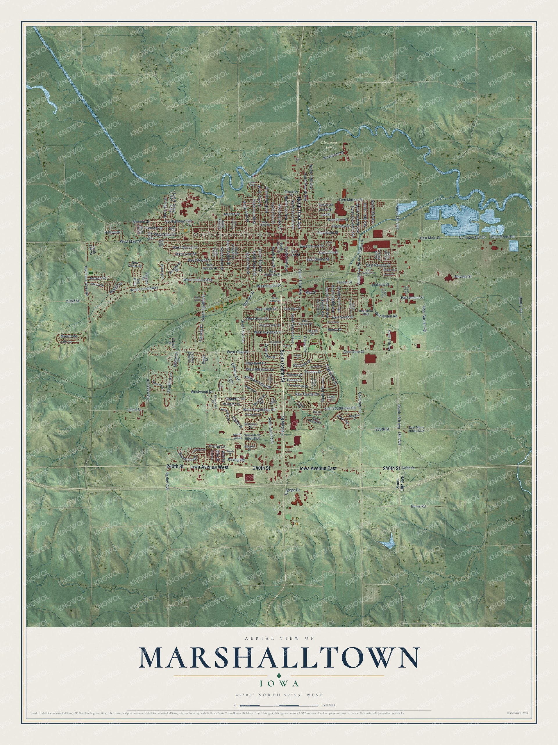
Street and place names on the Marshalltown, Iowa map
These names are printed on the map of Marshalltown, Iowa.
Places: Marshalltown City Hall and Riverview Park.
Streets and roads: South Center Street, 240th Street, North Third Avenue, Iowa Avenue East, Iowa Avenue West, West Main Street, South Third Avenue, Highland Acres Road, North Center Street, East Main Street, East Olive Street, East Anson Street.
More street names, A to Z
18th Avenue, 218th Street, 233rd Street, 235th Street, Arlington Drive, Arnold Drive, Beer Garden Road, Bel Air Drive, Benjamin Drive, Bittersweet Road, Bohen Street, Brentwood Road, Bromley Street, Burns Road, Campbell Drive, Canal Street, Carson Drive, Catalina Place, Cherry Street, Circle Drive, Clinton Street, College Drive, Columbus Drive, Country Club Lane, County Highway E29, County Highway E35, Craig Circle, Crestview Drive, Debra Drive, Dennis Drive, Dubois Circle, East Boone Street, East Church Street, East Ferner Street, East High Street, East Linn Street, East Madison Street, East Marion Street, East Merle Hibbs Boulevard, East Nevada Street, East Southridge Road, East South Street, East State Street, Edgebrook Drive, Edgeland Drive, Eighth Street, Elder Drive, Elmcrest Drive, Elmwood Drive, Erie Street, Fairway Drive, Finkle Avenue, Forest Boulevard, Fremont Street, Friendly Drive, Frontage Road, Gary Court, Gethmann Drive, Governor Road, Greenfield Drive, Henry Drive, Hilltop Drive, Industrial Boulevard, Innes Boulevard, Jackson Street, Jerome Street, Joan Terrace, Knollway Drive, Knollwood Drive, Koeper Drive, Larkfield Court, Laurel Drive, Lee Street, Lennox Drive, Leo Street, Lily Lane, Main Street Road, May Street, Maytag Road, Melody Lane, Merle Hibbs, Merritt Road, Nelson Road, Nevada Street, New Castle Road, Newport Road, New Salem Road, Nicholas Drive, Noble Street, North 14th Avenue, North 15th Avenue, North 15th Street, North 16th Street, North 17th Street, North 18th Avenue, North 19th Street, North 21st Street, North Eleventh Avenue, North Fifth Avenue, North Fifth Street, North First Avenue, North First Street, North Fourth Avenue, North Fourth Street, North Ninth Street, North Second Avenue, North Second Street, North Seventh Street, North Third Street, North Twelfth Avenue, Orchard Drive, Palmer Street, Parker Avenue, Plaza Heights Road, Pleasant View Road, Prairie Lane, Quarry Road, Rainbow Drive, Ratcliffe Drive, Renee Drive, Rex Ryden Road, Reyclif Drive, Richard Lane, Riverside Street, Roberts Terrace, School Drive, South 14th Avenue, South 15th Avenue, South 16th Avenue, South 17th Avenue, South 18th Avenue, South 19th Avenue, South 29th Street, South Eighth Avenue, South Eighth Street, South Eleventh Avenue, South Fifth Avenue, South Fifth Street, South First Avenue, South First Street, South Fourth Avenue, South Fourth Street, South Ninth Avenue, South Ninth Street, South Second Avenue, South Second Street, South Seventh Avenue, South Seventh Street, South Sixth Avenue, South Sixth Street, South Tenth Street, South Third Street, South Twelfth Avenue, South Twelfth Street, Stratford Lane, Summit Street, Swayze Street, Taft Street, Thomas Drive, Thunderbird Drive, Turner Street, Union Street, Wall Street, Warren Street, Washington Street, Wauconda Road, West Anson, West Anson Street, West Boone Street, West Church Street, West Ferner Street, West Grant Street, West High Street, West Ingledue Street, West Lincoln Way, West Lincolnway, West Linn Street, West Madison Street, West Meadow Lane, West Merle Hibbs Boulevard, West Nevada Street, West Olive Street, West Southridge Road, West South Street, West State Street, Westwood Drive, Woodbury Street, Woodland Street.
See the Marshalltown, Iowa map on a wall
The Marshalltown map as an 18 x 24 inch print in a black frame.

This beautifully detailed map of Marshalltown makes an attractive addition to your office, library, or den, and it can even be used to teach children the geography and history of the area. It also makes a great gift for anyone with Marshalltown roots. When you’re done exploring, click here to get your copy of the Marshalltown map.