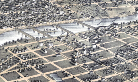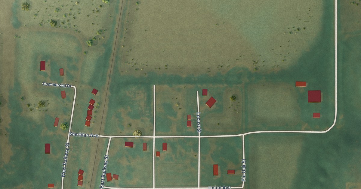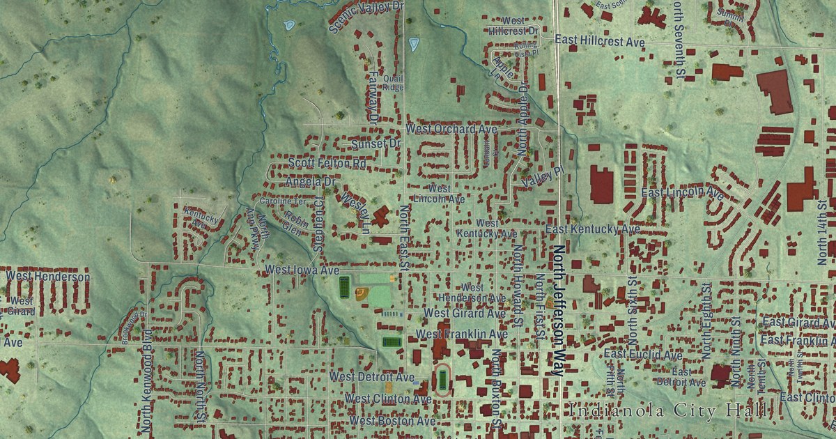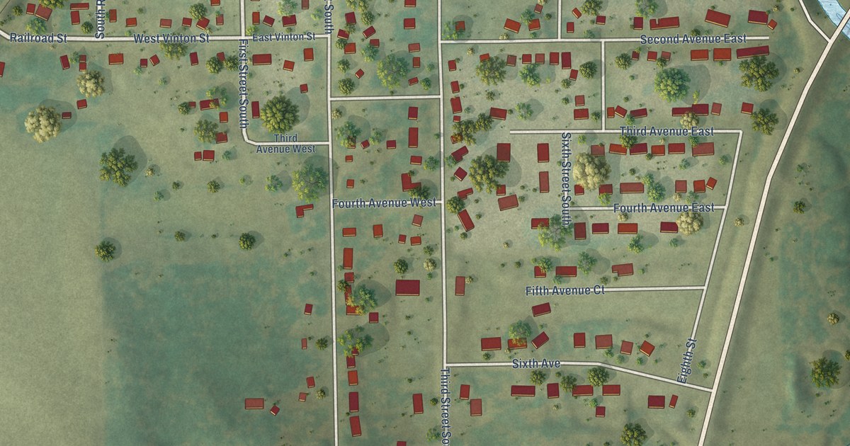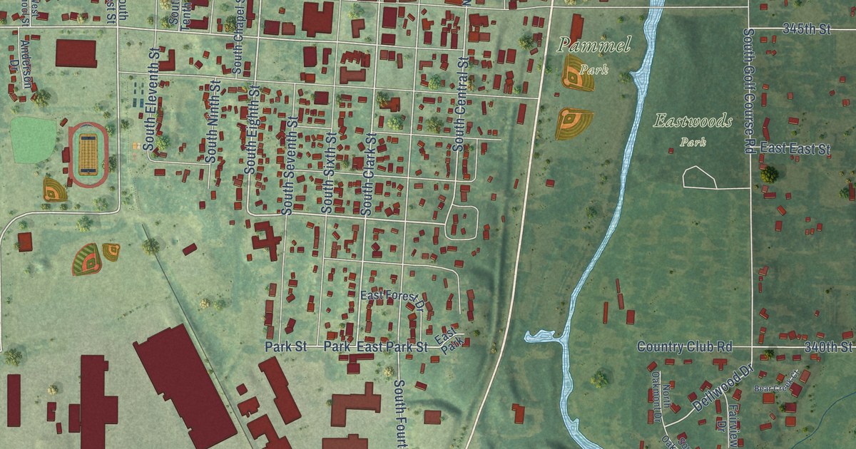
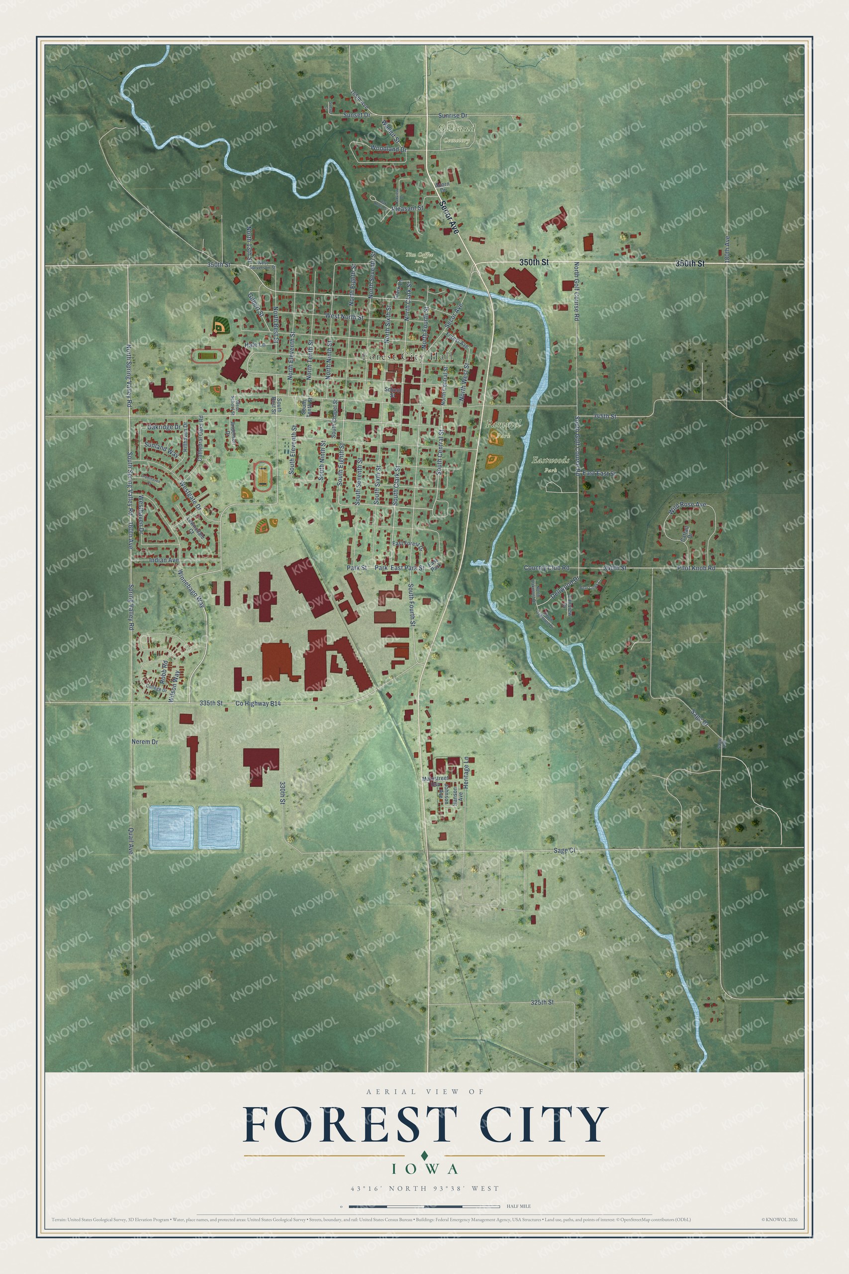
This beautifully detailed map of Forest City, Iowa was created in 2026 using aerial imagery combined with modern topographical, census, street and landmark data. It's a modern aerial view of Forest City in Hancock County, Iowa, that combines modern data with a vintage aesthetic. The roads feature printed names, and if you look closely you can find your exact house accurately shown in its correct location.
Explore an aerial view of Forest City, Iowa
On this map you'll find Forest City Hall, Eastwoods Park, Oakland Cemetery, Pammel Park, Tim Coffee Park, Secor Avenue, 350th Street, North Spring Valley Road, Winnebago Way, South Eighth Street, Spring Valley Road, 160th Avenue, and more. Each red shape is a building, so zoom in on the preview and look for yours.
Forest City is a city in Hancock County. The Census Bureau counted 4,285 people here in 2020. The map prints the town name in its title panel, with the coordinates below it.
Take a closer look at the Forest City map
Names on this map
These names are printed on this map.
Places: Forest City Hall, Eastwoods Park, Oakland Cemetery, Pammel Park, Tim Coffee Park, Park and East Park.
Streets and roads: Secor Avenue, 350th Street, North Spring Valley Road, Winnebago Way, South Eighth Street, Spring Valley Road, 160th Avenue, South Spring Valley Road, South Clark Street, South Central Street, North Clark Street, East Park Street.
More street names, A to Z
165th Avenue, 180th Avenue, 325th Street, 330th Street, 335th Street, 340th Street, 345th Street, Acorn Drive, Anderson Drive, Bear Creek Court, Cathedral Oaks Road, Cattail Drive, Clark Lane, College Drive, Country Club Road, County Highway B14, Cresthaven Court, Dellwood Drive, East East Street, East Forest Drive, Fairview Drive, Forest Avenue, Gilbert Street, Hale Lane, Hanson Avenue, Heritage Lane, Hillhaven Drive, Indian Avenue, Johnson Avenue, Lawnsdale Court, Mainstreet Usa, Nerem Drive, North 13th Street, North Best Street, North Central Street, North Eighth Street, North Eleventh Street, North Fourth Street, North Golf Course Road, North Ninth Street, North Oakmont Drive, North Seventh Street, North Sixth Street, North Tenth Street, North West Street, Oak Knoll Circle, Oakridge Drive, Oakview Drive, Park Street, Pilot Knob Road, Pleasant Street, Quail Avenue, Robb Road, Sage Avenue, Sage Court, Sage Drive, School Street, South Best Street, South Chapel Street, South Eleventh Street, South Fourth Street, South Golf Course Road, South Ninth Street, South Oakmont Drive, South Seventh Street, South Sixth Street, South Tenth Street, Sunland Way, Sunrise Drive, Sunset Court, Sunset Drive, Walnut Street, Westgate Drive, West Halverson Street, Westhaven Drive, West North Street, West School Street, Wild Rose Avenue, Wilson Way, Woodland Drive.
Created by KNOWOL in 2026. The buildings are small red shapes, the roads carry their printed names, and shaded relief shows the shape of the land. The title panel reads "AERIAL VIEW OF FOREST CITY IOWA" with 43°16' NORTH 93°38' WEST.
It looks right in a kitchen, an office or a den, and it's a gift for anyone who grew up in Forest City or moved away. Open the preview and find your street. See sizes and frames for the Forest City map.