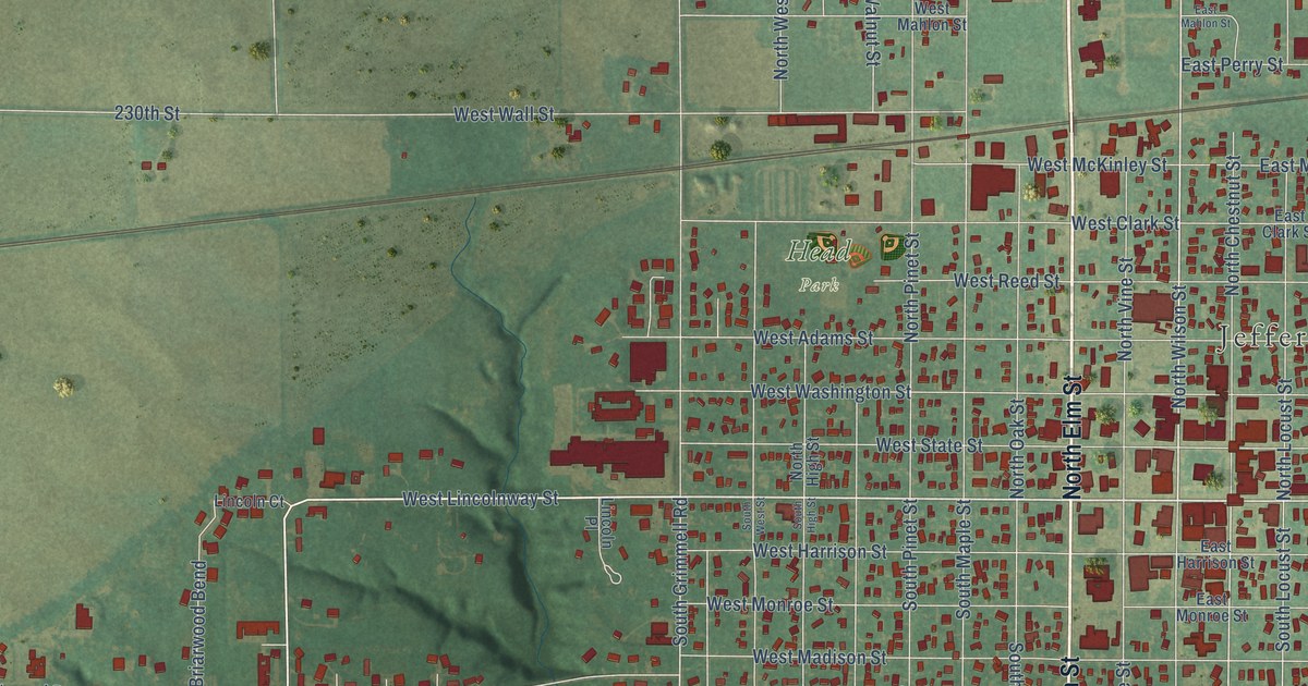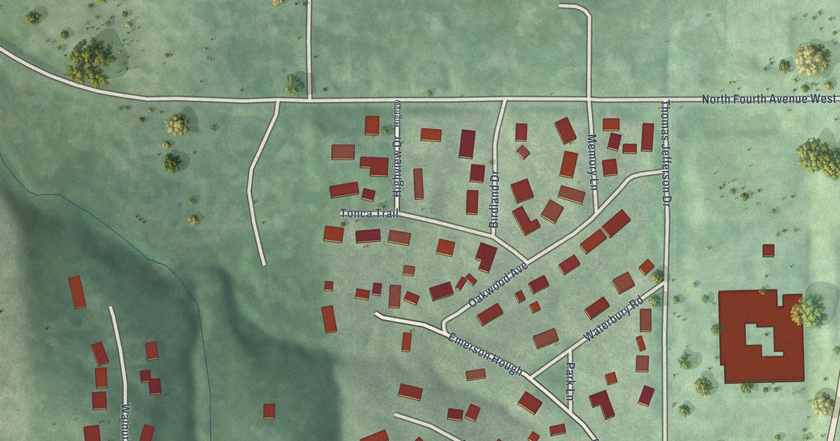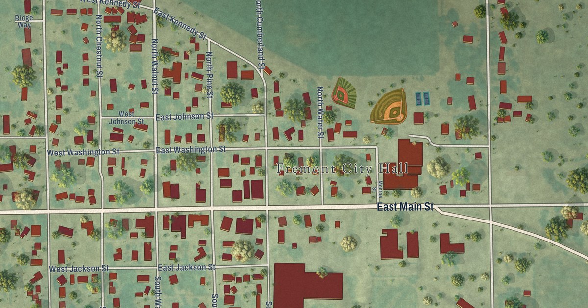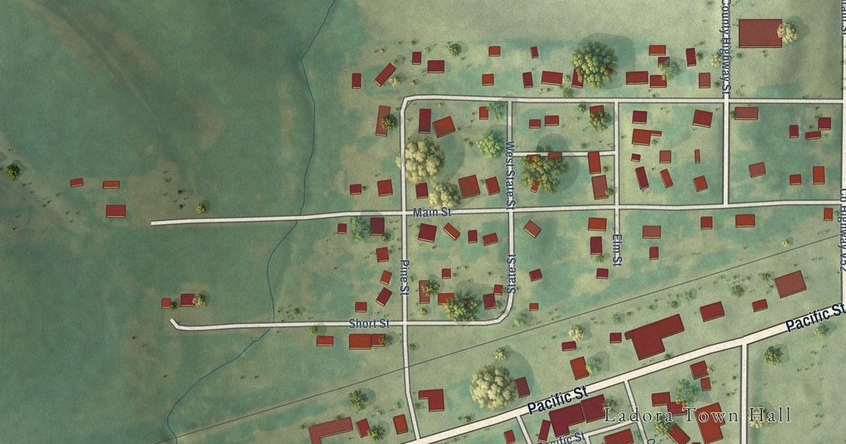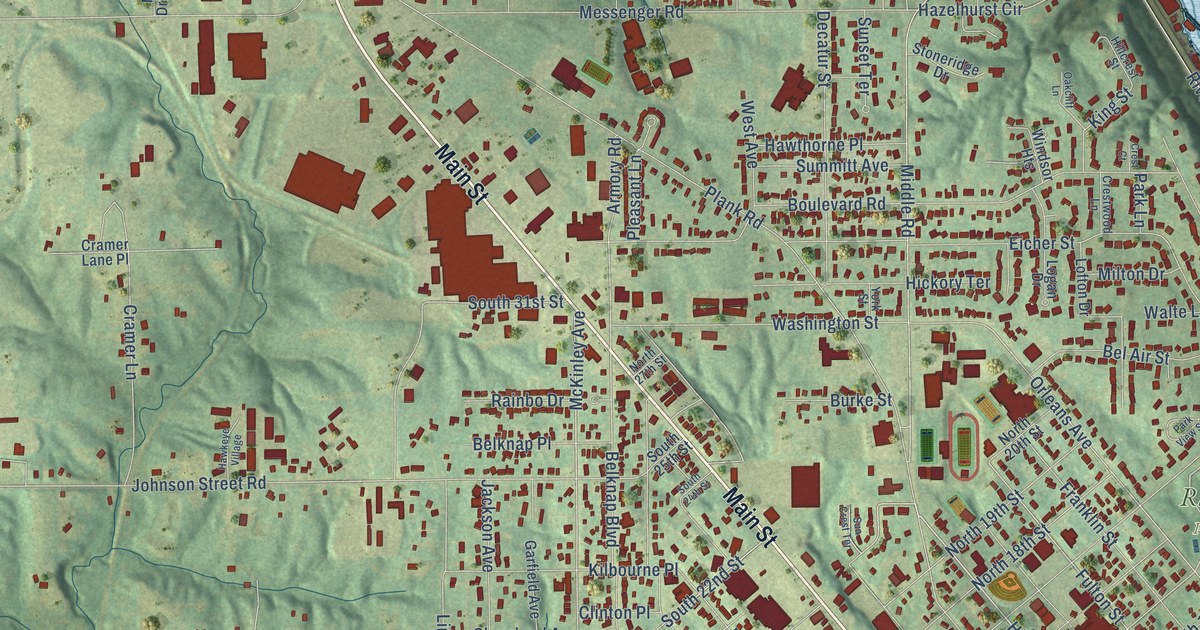
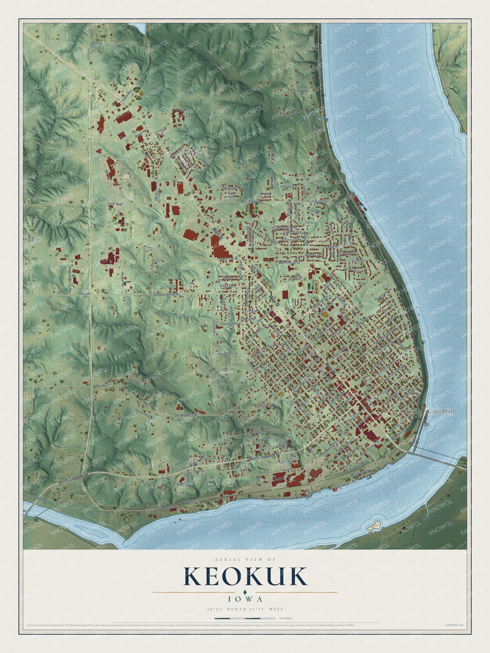
This beautifully detailed map of Keokuk, Iowa was created in 2026 using aerial imagery combined with modern topographical, census, street and landmark data. It's a modern aerial view of Keokuk in Lee County, Iowa, that combines modern data with a vintage aesthetic. The roads feature printed names, and if you look closely you can find your exact house accurately shown in its correct location.
Explore an aerial view of Keokuk, Iowa
On this map you'll find City of Keokuk – City Hall, Bluff Park, Oakland Cemetery, Rand Park, Rees Park, Main Street, South Seventh Street, North First Street, High Street, Elm Street, South Second Street, North Fourth Street, and more. Each red shape is a building, so zoom in on the preview and look for yours.
Keokuk is a city in Lee County. The Census Bureau counted 9,900 people here in 2020. The map prints the town name in its title panel, with the coordinates below it.
Take a closer look at the Keokuk map
Names on this map
These names are printed on this map.
Places: City of Keokuk - City Hall, Bluff Park, Oakland Cemetery, Rand Park and Rees Park.
Streets and roads: Main Street, South Seventh Street, North First Street, High Street, Elm Street, South Second Street, North Fourth Street, South 14th Street, North Fifth Street, Carroll Street, North Second Street, Orleans Avenue.
More street names, A to Z
250th Avenue, 258th Avenue, 270th Avenue, 357th Street, Armory Road, Ash Street, Athens Avenue, Bank Street, Bel Air Street, Belknap Boulevard, Belknap Place, Blondeau Street, Bluff Street, Boulevard Road, Brookshire Drive, Burke Street, Calade Lane, California Avenue, Carbide Lane, Carriage Green Estate, Carroll, Cedar Street, Cherokee Lane, Cherry Street, Cleaver Street, Cleveland Avenue, Clinton Place, Commercial Street, Concert Street, County Road J92, County Road X28, Cramer Lane, Cramer Lane Place, Crest Court, Crestwood Lane, Decatur Street, Des Moines Avenue, Des Moines Street, East Street, Eicher Street, Estes Street, Exchange Street, Fairway Drive, Franklin Street, Fulton Street, Garfield Avenue, Grand Avenue, Greenbrier Court, Hawkeye Village, Hawthorne Place, Hazelhurst Circle, Henkel Road, Hickory Terrace, Hillcrest Street, Hilton Road, Hilton Road Lane, Iowa Street, Jackson Avenue, Johnson Street, Johnson Street Road, Kilbourne Place, Kindustry Park Road, King Street, Leighton Street, Lincoln Avenue, Lofton Drive, Logan Drive, Mahaska Drive, McKinley Avenue, Messenger Road, Middle Road, Milton Drive, Mississippi Drive, Missouri Avenue, Missouri Street, Mohawk Terrace, Morgan Street, Navaho Drive, Navaho Drive South, North 13th Street, North 14th Street, North 15th Street, North 16th Street, North 17th Street, North 18th Street, North 19th Street, North 20th Street, North 27th Street, North Eighth Street, North Eleventh Street, North Ninth Street, North Oak, North Seventh Street, North Sixth Street, North Tenth Street, North Third Street, North Twelfth Street, Oakcliff Lane, Oak Street, Oregon Avenue, Palean Street, Park Lane, Park Place, Park Street, Park View Street, Pawnee Drive, Pioneer Lane, Plank Road, Pleasant Lane, Pleasant Street, Prices Creek Road, Progress Street, Rainbo Drive, Rand Park Terrace, Ridge Street, River Road, Royal Road, Sac Drive, Seymour Street, South 13th Street, South 15th Street, South 16th Street, South 17th Street, South 18th Street, South 19th Street, South 20th Street, South 21st Street, South 22nd Street, South 24th Street, South 25th Street, South 31st Street, South Eighth Street, South Eleventh Street, South Fifth Street, South First Street, South Fourth Street, South Ninth Street, South Oak Drive, South Sixth Street, South Tenth Street, South Third Street, South Twelfth Street, South Water Street, Stoneridge Drive, Stripe Street, Summitt Avenue, Sun Crest Terrace, Sunrise Ridge Lane, Sunset Terrace, Timea Street, Twin Rivers Drive, Valley Road, Village Circle, Village Drive, Walsh Street, Walte Lane, Washington Street, West Avenue, West Street, William Street, Windsor Heights, Wirtz Lane, Wise Lane, York Street.
Created by KNOWOL in 2026. The buildings are small red shapes, the roads carry their printed names, and shaded relief shows the shape of the land. The title panel reads "AERIAL VIEW OF KEOKUK IOWA" with 40°24' NORTH 91°23' WEST.
It suits a den, a classroom or a front hall, and it makes a gift for anyone with Keokuk roots. Open the preview and find the block you know. See sizes and frames for the Keokuk map.