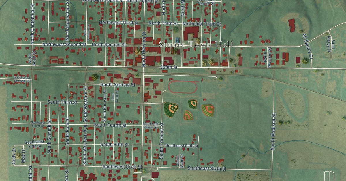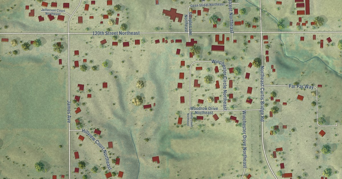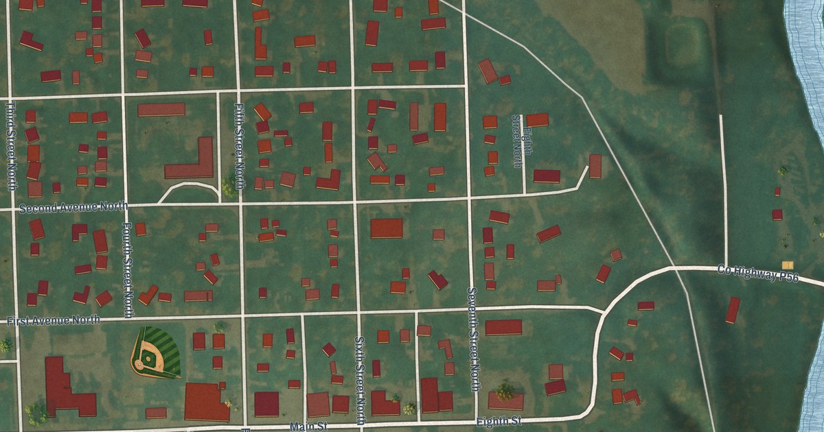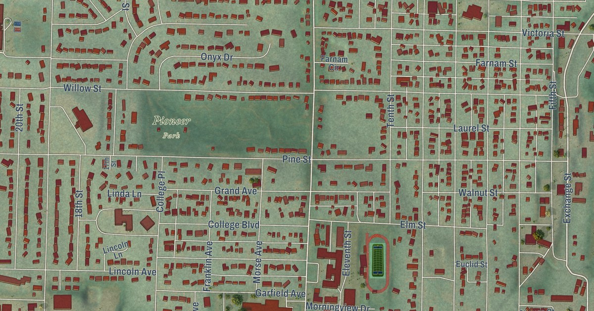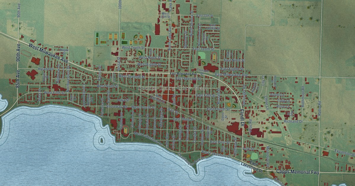
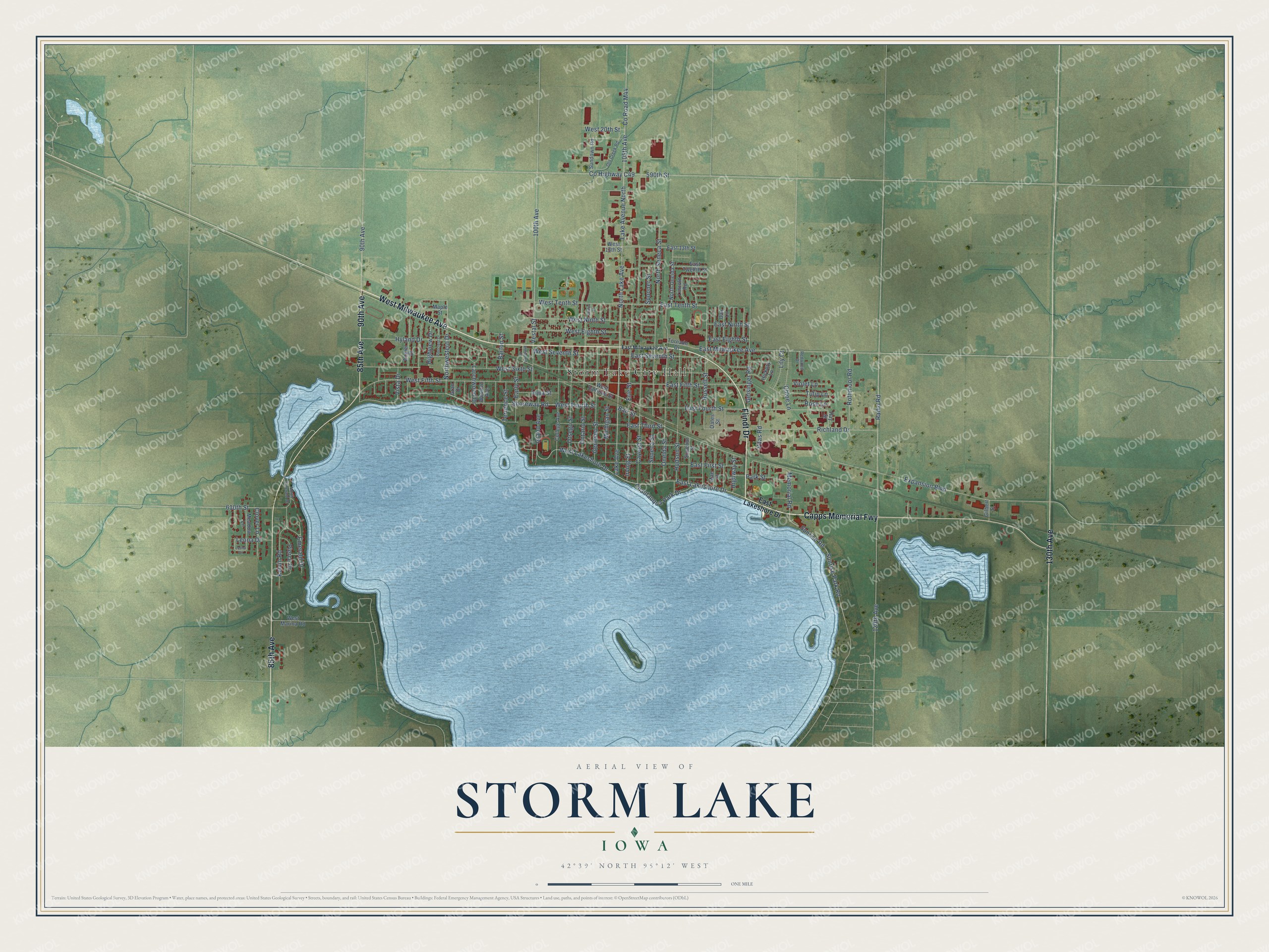
This beautifully detailed map of Storm Lake, Iowa was created in 2026 using aerial imagery combined with modern topographical, census, street and landmark data. It's a modern aerial view of Storm Lake in Buena Vista County, Iowa, that combines modern data with a vintage aesthetic. The roads feature printed names, and if you look closely you can find your exact house accurately shown in its correct location.
Explore an aerial view of Storm Lake, Iowa
On this map you'll find Storm Lake City Hall, West Milwaukee Avenue, Capps Memorial Fwy, Flindt Drive, 90th Avenue, 85th Avenue, 130th Avenue, East Lakeshore Drive, Lake Avenue, West Lakeshore Drive, Northwestern Drive, West Fifth Street, and more. Each red shape is a building, so zoom in on the preview and look for yours.
Storm Lake is a city in Buena Vista County. The Census Bureau counted 11,269 people here in 2020. The map prints the town name in its title panel, with the coordinates below it.
Take a closer look at the Storm Lake map
Names on this map
These names are printed on this map.
Places: Storm Lake City Hall.
Streets and roads: West Milwaukee Avenue, Capps Memorial Fwy, Flindt Drive, 90th Avenue, 85th Avenue, 130th Avenue, East Lakeshore Drive, Lake Avenue, West Lakeshore Drive, Northwestern Drive, West Fifth Street, West Fourth Street.
More street names, A to Z
100th Avenue, 105th Avenue, 120th Avenue, 590th Street, 610th Street, Angier Drive, Bair Street, Barton Street, Cayuga Street, Chautauqua Park Drive, Chloe Lane, Clover Lane, College Avenue, County Highway C49, County Road M44, Early Street, East 13th Street, East Eighth Street, East Fifth Street, East First Street, East Fourth Street, East Milwaukee Avenue, East Ninth Street, East Seventh Street, East Tenth Street, East Third Street, East Twelfth Street, Elmwood Drive, Emerald Drive, Erie Street, Expansion Boulevard, Geisinger Road, Geneseo Street, Gilbert Street, Grand Avenue, Gran Drive, Hickory Lane, Highview Drive, Highway Street, Hudson Street, Hyland Drive, Iowa Street, Irving Street, Kelvin Road, Lake Avenue North, Larchwood Drive, Leona Circle, Leona Drive, Lily Court, Lincoln Road, Mae Street, Maple Street, Meadow Lane, Memorial Road, Michigan Street, North Emerald Drive, North Lake Avenue, North Oneida Street, North Seneca Street, Oak Lane, Oates Street, Old Creek Road, Oneida Street, Ontario Street, Otsego Street, Park Street, Pierce Drive, Pinecrest Drive, Radio Road, Ray Street, Redwood Drive, Richland Drive, Rose Lane, Rothmoor Road, Russell Street, Seneca Street, Shoreway Road, Spooner Street, Sundown Road, Sunrise Park Road, Sunrise Road, Superior Street, Terrence Street, Tornado Drive, Tulip Lane, Vestal Street, Vilas Road, Violet Lane, Vista Drive, West 13th Street, West 20th Street, West Eighth Street, Western Avenue, West Marina Road, West Ninth Street, West Railroad Street, West Seventh Street, West Sixth Street, West Tenth Street, Witter Street.
Created by KNOWOL in 2026. The buildings are small red shapes, the roads carry their printed names, and shaded relief shows the shape of the land. The title panel reads "AERIAL VIEW OF STORM LAKE IOWA" with 42°39' NORTH 95°12' WEST.
Hang it in the hallway, the office or the cabin, or give it to someone who left Storm Lake and still calls it home. Open the preview and look for a street you know. See sizes and frames for the Storm Lake map.