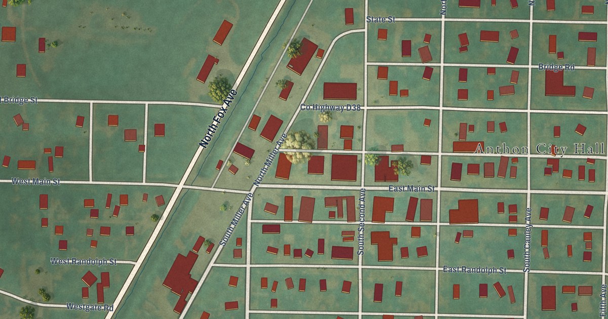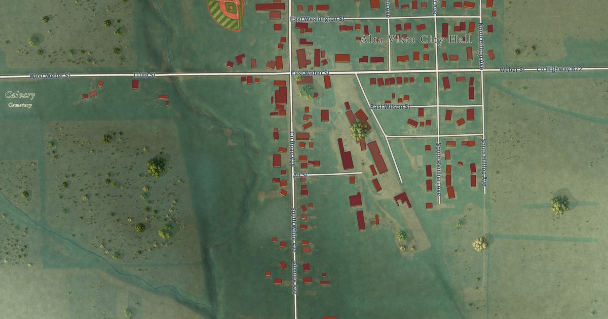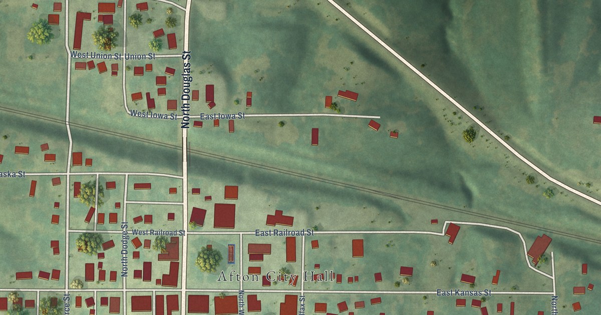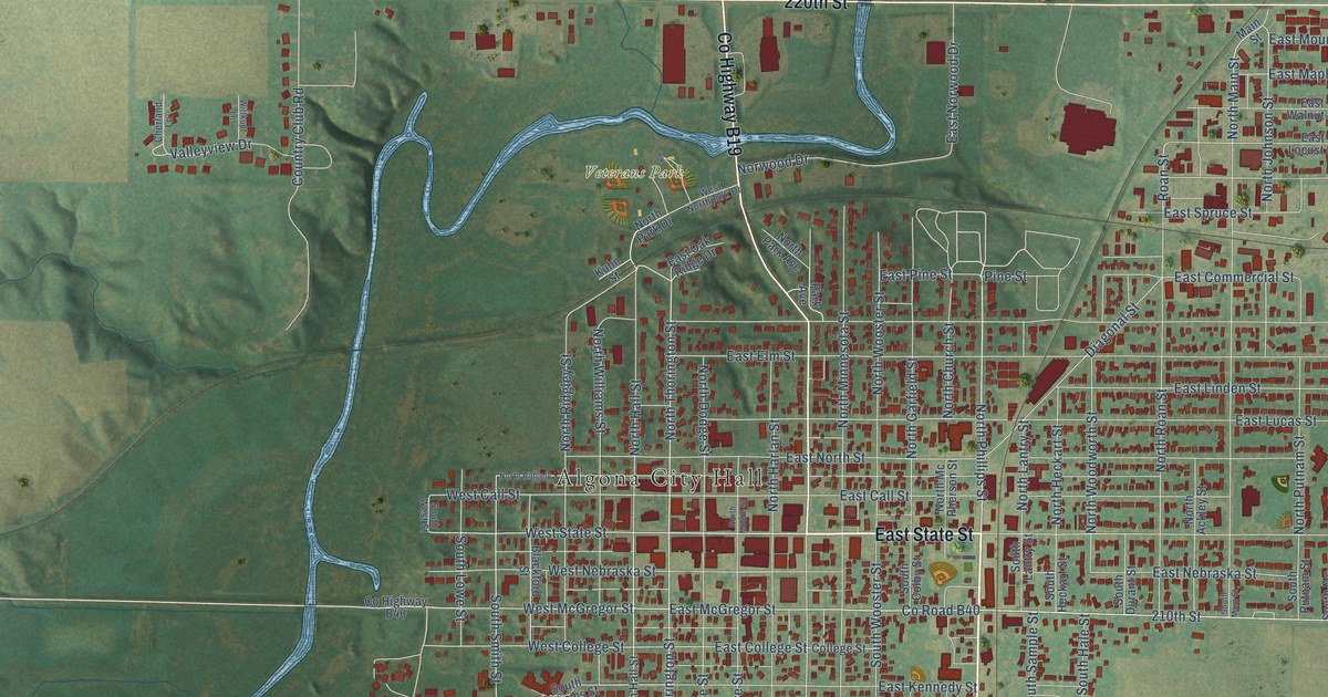
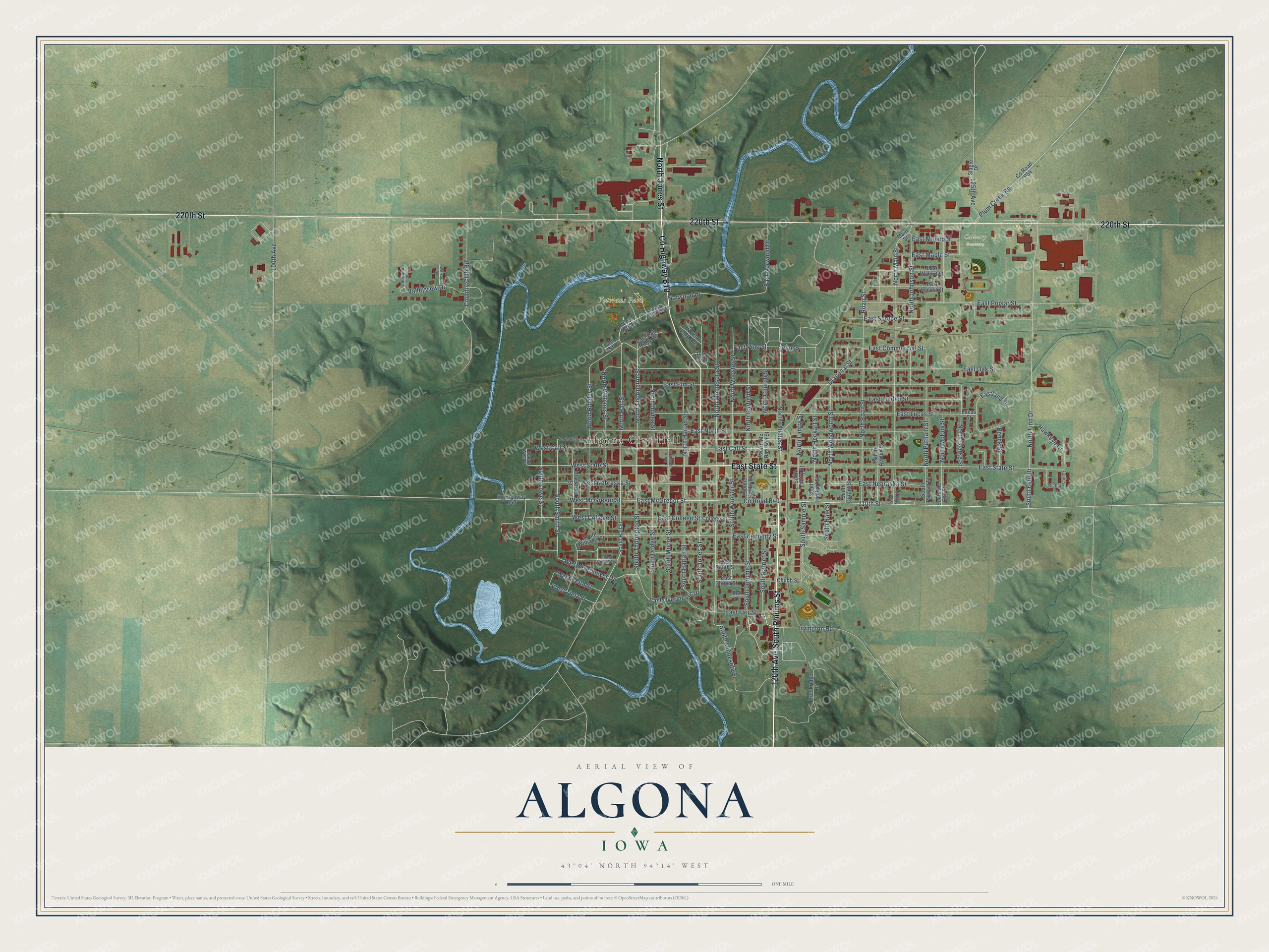
This beautifully detailed map of Algona, Iowa was created in 2026 using aerial imagery combined with modern topographical, census, street and landmark data. It's a modern aerial view of Algona in Kossuth County, Iowa, that combines modern data with a vintage aesthetic. The roads feature printed names, and if you look closely you can find your exact house accurately shown in its correct location.
Explore an aerial view of Algona, Iowa
On this map you'll find Algona City Hall, Veterans Park, Calvary Cemetery, South Phillips Street, East State Street, 120th Avenue, North Jones Street, 220th Street, Co Highway B19, North Phillips Street, North Thorington Street, South Thorington Street, and more. Each red shape is a building, so zoom in on the preview and look for yours.
Here is a piece of Algona history, in the words of the record. The Chicago and North Western Railway puts it this way: "Algona, Kossuth County, Iowa, was named by the wife of Judge A. C. Call. The original name was Call's Grove, for Judge Call, who located here in 1854."
Algona is a city in Kossuth County. The Census Bureau counted 5,487 people here in 2020.
Take a closer look at the Algona map
Names on this map
These names are printed on this map.
Places: Algona City Hall, Veterans Park and Calvary Cemetery.
Streets and roads: South Phillips Street, East State Street, 120th Avenue, North Jones Street, 220th Street, County Highway B19, North Phillips Street, North Thorington Street, South Thorington Street, West Overmeyer Drive, South Smith Street, West State Street.
More street names, A to Z
100th Avenue, 125th Avenue, 210th Street, Bell Court, Benck Street, Blackford Street, Brookridge Drive, Cherland Lane, Chubb Street, College Street, Country Club Road, County Highway B40, County Road B40, County Road P54, Diagonal Street, East Call Street, East Chubb Street, East College Street, East Commercial Street, East Elm Street, East Fair Street, East Kennedy Street, Eastland Drive, East Linden Street, East Locust Street, East Lucas Street, East Maple Street, East McGregor Street, East Mound Street, East Nebraska Street, East North Street, East Norwood Drive, East Oak Ridge Drive, East Oak Street, East Overmeyer Drive, East Pine Street, East Poplar Street, East South Street, East Spruce Street, East Walnut Street, Hawkeye Drive, Irvington Road, Kuhn Street, Lucas Street, Main Street, North Ackley Street, North Church Street, North Clarke Street, North Dodge Street, North Finn Drive, North Garfield Street, North Hall Street, North Harlan Street, North Heckart Street, North Johnson Street, North Lantry Street, North Main Street, North McCoy Street, North Mc Pherson Street, North Minnesota Street, North Moore Street, North Park Avenue, North Park Drive, North Putnam Street, North Ridgely, North Ridgley Street, North Roan Street, North Williams Street, North Woodworth Street, North Wooster Street, Norwood Drive, Park Avenue, Pine Street, Plum Creek Road, Richardson Court, Roan Street, Slagle Drive, South Colby Street, South Dodge Street, South Durant Street, South Finn Drive, South Hale Street, South Hall Street, South Harlan Street, South Harriet Street, South Heckart Street, South Jerome Street, South Jones Street, South Lantry Street, South Lowe Street, South Main Street, South Mc Coy Street, South Minnesota Street, South Moore Street, South Putnam Street, South Sample Street, South West Street, South Williams Street, South Wooster Street, Valleyview Drive, West Call Street, West College Street, West Keith Street, West McGregor Street, West Nebraska Street, West Northpark Drive, West South Avenue, West Tietz Street, Wittkopf Lane.
Created by KNOWOL in 2026. The buildings are small red shapes, the roads carry their printed names, and shaded relief shows the shape of the land. The title panel reads "AERIAL VIEW OF ALGONA IOWA" with 43°04' NORTH 94°14' WEST.
It suits a den, a classroom or a front hall, and it makes a gift for anyone with Algona roots. Open the preview and find the block you know. See sizes and frames for the Algona map.