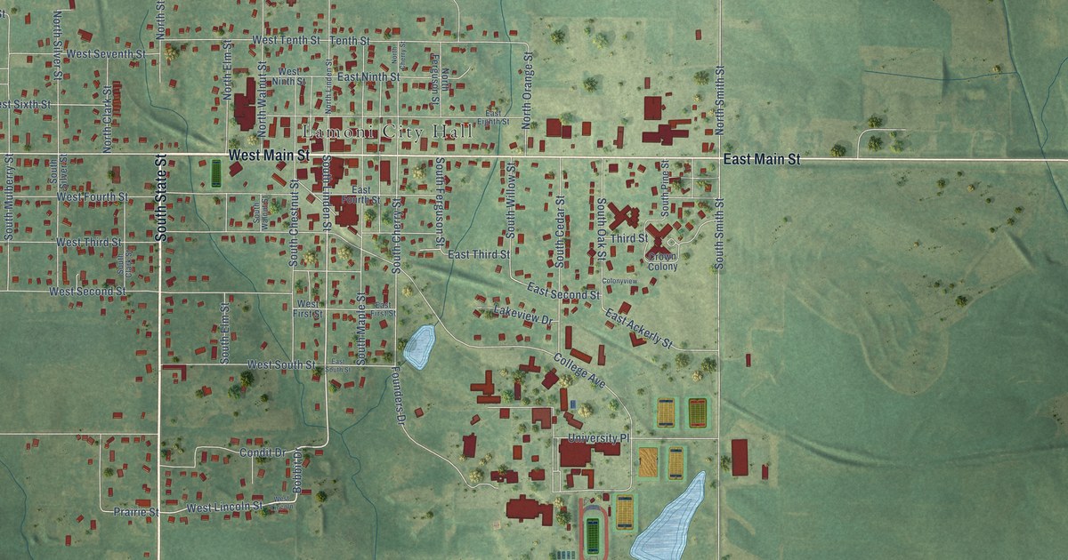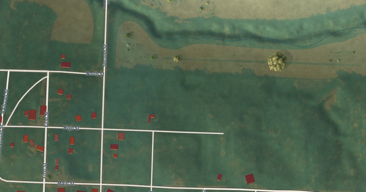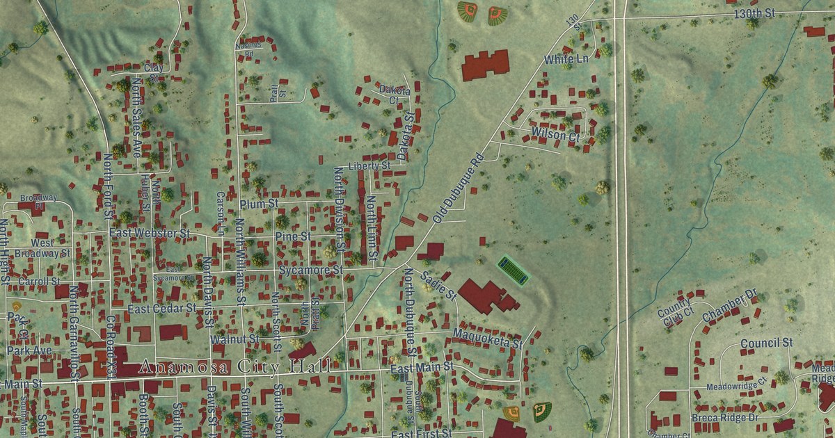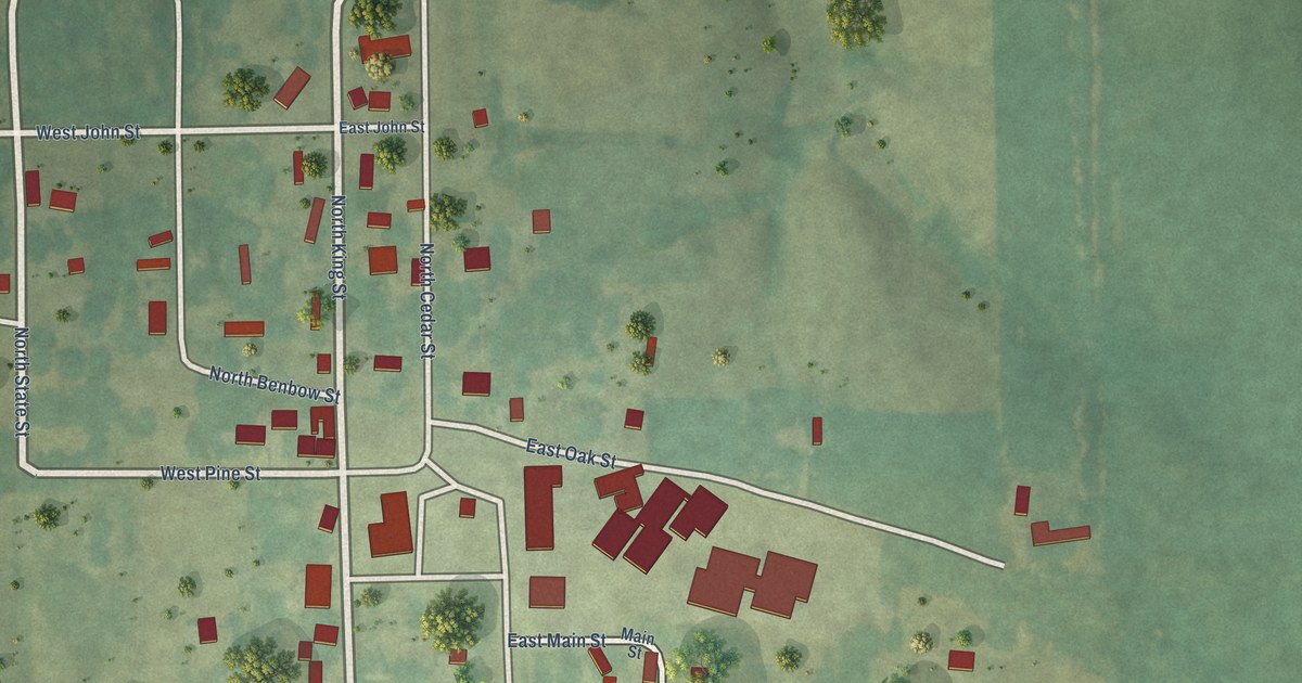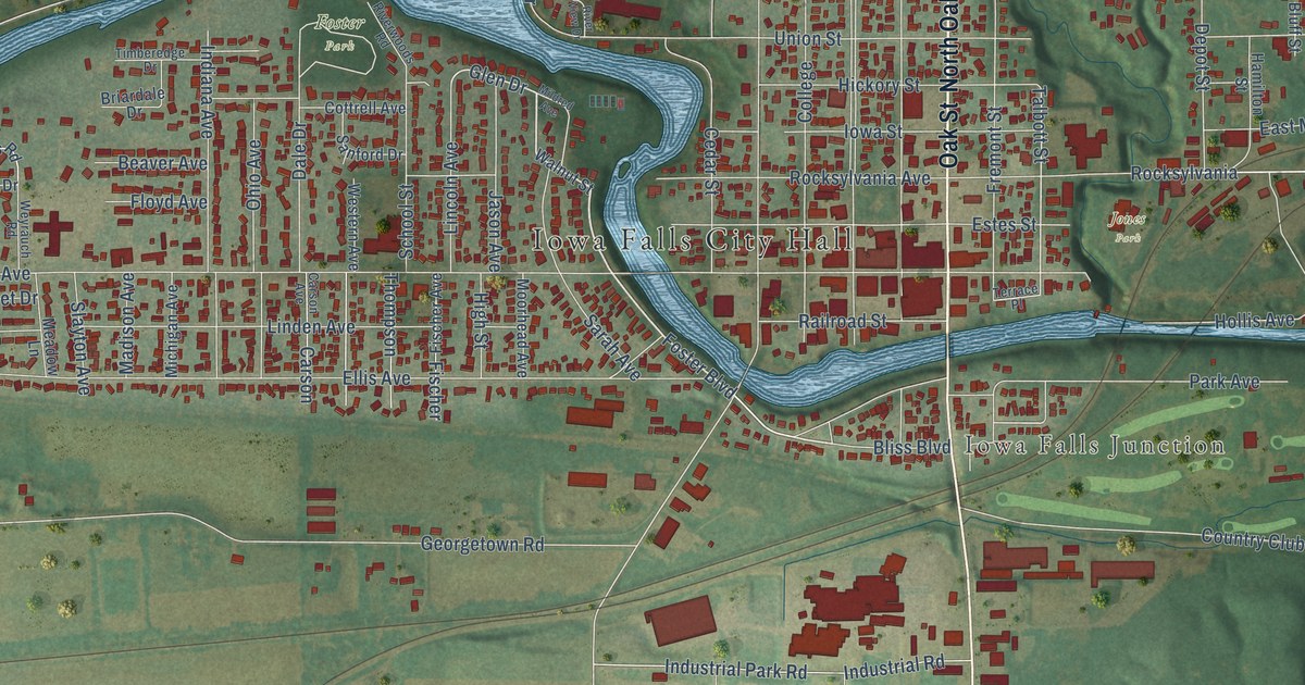
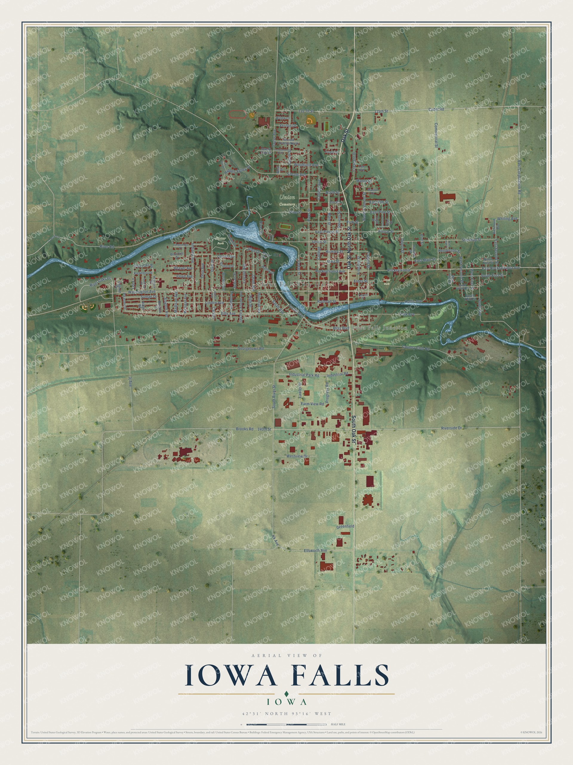
This beautifully detailed map of Iowa Falls, Iowa was created in 2026 using aerial imagery combined with modern topographical, census, street and landmark data. It's a modern aerial view of Iowa Falls in Hardin County, Iowa, that combines modern data with a vintage aesthetic. The roads feature printed names, and if you look closely you can find your exact house accurately shown in its correct location.
Explore an aerial view of Iowa Falls, Iowa
On this map you'll find Iowa Falls City Hall, Iowa Falls Junction, Union Cemetery, Foster Park, Jones Park, Oak Street, North Oak Street, South Oak Street, Cadet Road, Foster Boulevard, Bliss Boulevard, East Rocksylvania Avenue, and more. Each red shape is a building, so zoom in on the preview and look for yours.
Iowa Falls is a city in Hardin County. The Census Bureau counted 5,106 people here in 2020. The map prints the town name in its title panel, with the coordinates below it.
Take a closer look at the Iowa Falls map
Names on this map
These names are printed on this map.
Places: Iowa Falls City Hall, Iowa Falls Junction, Union Cemetery, Foster Park and Jones Park.
Streets and roads: Oak Street, North Oak Street, South Oak Street, Cadet Road, Foster Boulevard, Bliss Boulevard, East Rocksylvania Avenue, Glen Drive, 115th Street, Riverside Drive, Talbott Street, College Avenue.
More street names, A to Z
115 Th Street, 140th Street, Beaver Avenue, Bluff Street, Briardale Drive, Brooks Road, Carson, Carson Avenue, Cedar Street, College, Commercial Street, Cottrell Avenue, Country Club Road, County Road D15, Coyla Street, Crescent Drive, Custer Street, Dale Drive, Depot Street, East Corporation Road, East Elm Street, East High Street, East Main Street, East Pierce Street, East Pine Street, East Second Street, Elizabeth Street, Elk Run Road, Ellis Avenue, Ellsworth Avenue, Elm Street, Estes Street, Farm View Road, First Avenue North, Fischer, Fischer Avenue, Floyd Avenue, Forest Drive, Fremont Street, Georgetown Road, Greenfield, Hackberry Drive, Hamilton Street, Hawthorne Road, Henderson Street, Hickory Street, Hidden Valley Drive, High Street, Hollis Avenue, Indiana Avenue, Industrial Park Road, Industrial Road, Iowa Street, Jason Avenue, Jj Avenue, Kk Avenue, Law Avenue, Lawler Street, Lee Lane, Lincoln Avenue, Linden Avenue, Madison Avenue, Main Street, Manor Drive, Marion Drive, Meadow Lane, Michigan Avenue, Mildred Avenue, Moorhead Avenue, North Avenue, North First Street, North Fremont Street, North Street, Ohio Avenue, Osgood Drive, Park Avenue, Pearl Street, Pierce Street, Pine Street, Pleasant Drive, Polk Street, Progress Road, Railroad Street, Richmond Avenue, Ridge Road, River Drive, River Oaks Drive, River Oaks Road, River Road, River Street, River View Drive, Riverwoods Road, Rocksylvania, Rocksylvania Avenue, Sanford Drive, Sarah Avenue, Scenic View Drive, School Street, Second Avenue North, Sherman Street, Siloam Avenue, Slayton Avenue, South Avenue, South First Street, South River Street, South Second Street, South Third Street, Stevens Street, Sunset Drive, Taylor Avenue, Terrace Place, Thompson, Timberedge Drive, Union Street, Vernon Drive, Walnut Street, Washington Avenue, Western Avenue, West First Street, West Second Street, West Street, West Third Street, Westview Drive, Weyrauch Road, Whiting Avenue, Willow Lane, Woodland Avenue.
Created by KNOWOL in 2026. The buildings are small red shapes, the roads carry their printed names, and shaded relief shows the shape of the land. The title panel reads "AERIAL VIEW OF IOWA FALLS IOWA" with 42°31' NORTH 93°16' WEST.
It suits a den, a classroom or a front hall, and it makes a gift for anyone with Iowa Falls roots. Open the preview and find the block you know. See sizes and frames for the Iowa Falls map.